Elevation of Mandi Dabwali, Haryana, India
Location: India > Haryana > Sirsa >
Longitude: 74.7001328
Latitude: 29.9671034
Elevation: 199m / 653feet
Barometric Pressure: 99KPa
Elevation Map:
Satellite Map:
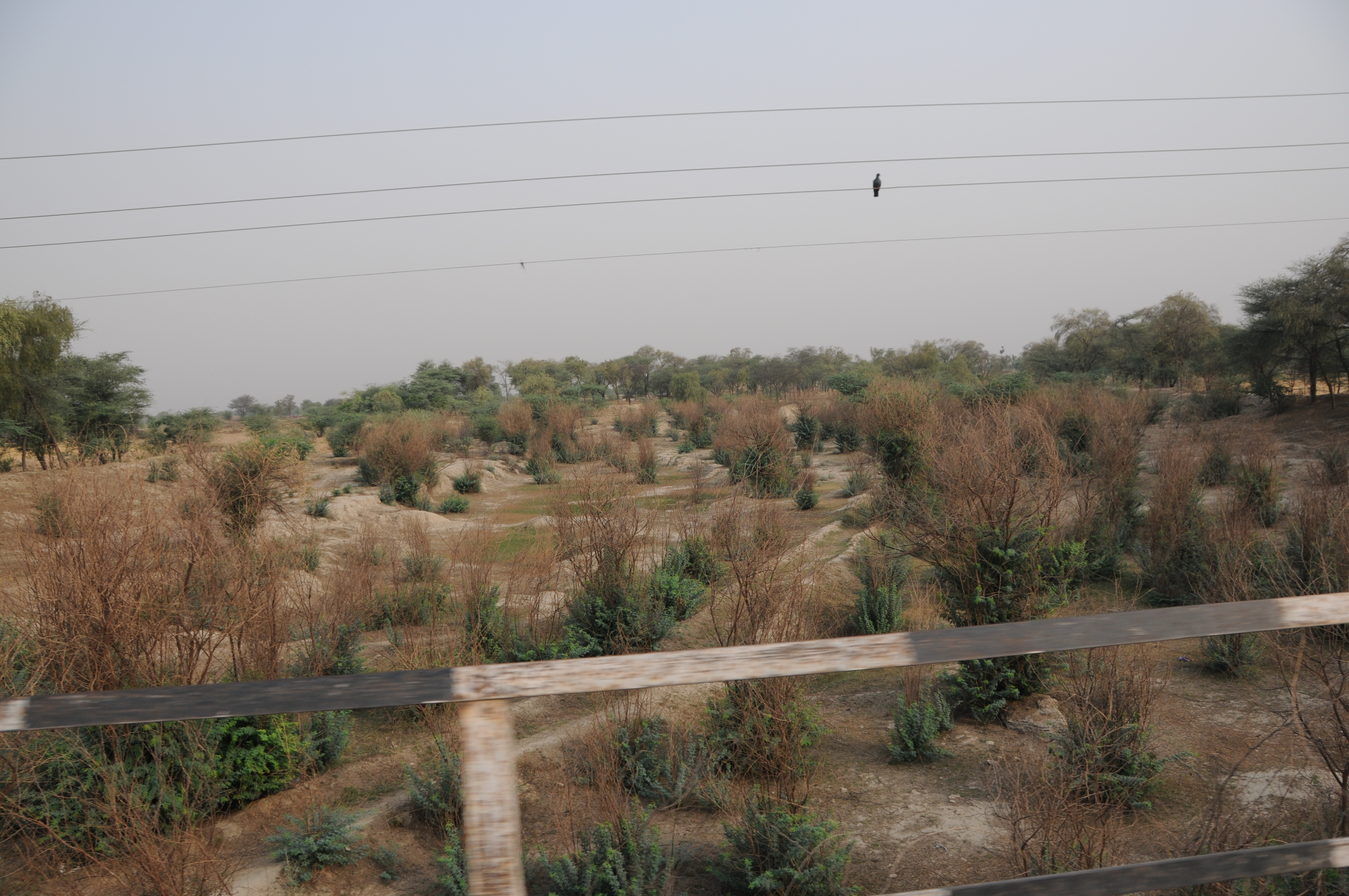
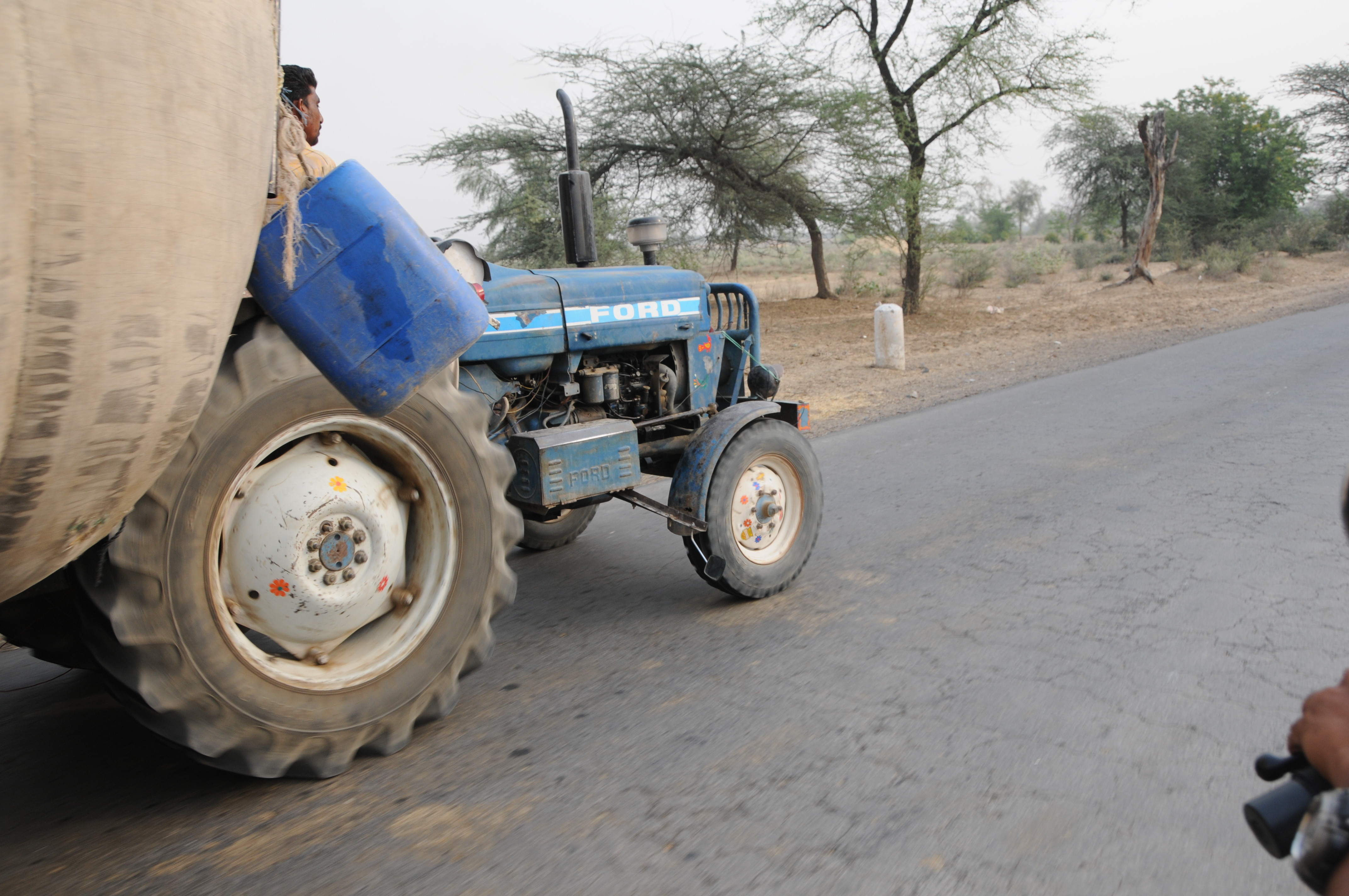
Related Photos:

CSP_8846.JPG
CSP_8853.JPG

CSP_8844.JPG
CSP_8848.JPG
CSP_8849.JPG

CSP_8851.JPG
Topographic Map of Mandi Dabwali, Haryana, India
Find elevation by address:

Places near Mandi Dabwali, Haryana, India:
Sangat
Bathinda
Aggarwal Colony
Street Number 6, Aggarwal Colony, Bathinda, Punjab, India
Bathinda
Sirsa
Sirsa
Rampura Phul
Dhillwan
Barnala
Moga
Fatehabad
Moga
Lehragaga
Jagraon
Sangrur
Sangrur
Sangala
Malerkotla
Phagla
Recent Searches:
- Elevation of Corso Fratelli Cairoli, 35, Macerata MC, Italy
- Elevation of Tallevast Rd, Sarasota, FL, USA
- Elevation of 4th St E, Sonoma, CA, USA
- Elevation of Black Hollow Rd, Pennsdale, PA, USA
- Elevation of Oakland Ave, Williamsport, PA, USA
- Elevation of Pedrógão Grande, Portugal
- Elevation of Klee Dr, Martinsburg, WV, USA
- Elevation of Via Roma, Pieranica CR, Italy
- Elevation of Tavkvetili Mountain, Georgia
- Elevation of Hartfords Bluff Cir, Mt Pleasant, SC, USA