Elevation of Lehragaga, Punjab, India
Location: India > Punjab > Sangrur >
Longitude: 75.8010962
Latitude: 29.9429587
Elevation: 224m / 735feet
Barometric Pressure: 99KPa
Elevation Map:
Satellite Map:
Related Photos:

Sunset Jaipur

Jal Mahal, Jaipur
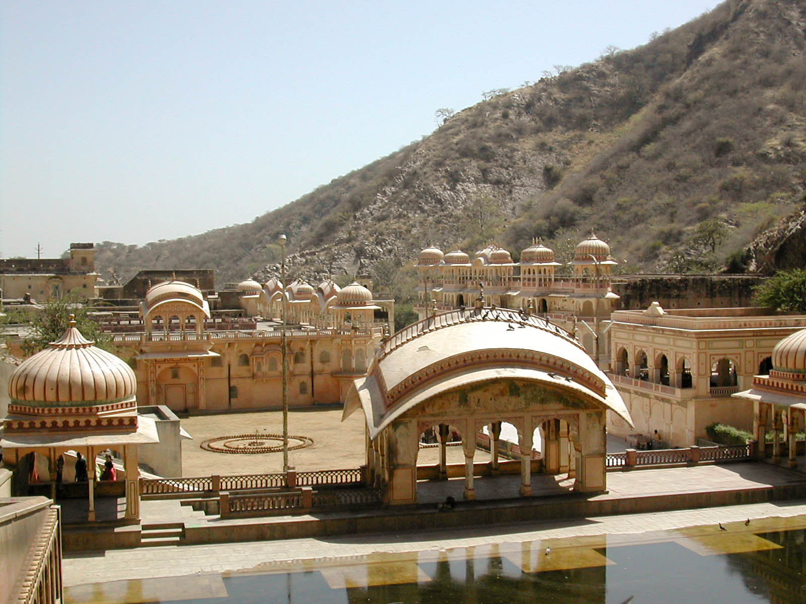
Galtaji Jaipur
Topographic Map of Lehragaga, Punjab, India
Find elevation by address:

Places near Lehragaga, Punjab, India:
Sangrur
Fatehabad
Sangrur
Sangala
Barnala
Dhillwan
Malerkotla
Rampura Phul
Bathinda
Sirsa
Bathinda
Street Number 6, Aggarwal Colony, Bathinda, Punjab, India
Aggarwal Colony
Jagraon
Moga
Kabir Nagar
Pre Wedding Photography Planar Ludhiana Shooting Enjoy Dj.s Weston Bhangra Song. Recoding Hd Album
Vishal Nagar
825/a
Ludhiana
Recent Searches:
- Elevation of Corso Fratelli Cairoli, 35, Macerata MC, Italy
- Elevation of Tallevast Rd, Sarasota, FL, USA
- Elevation of 4th St E, Sonoma, CA, USA
- Elevation of Black Hollow Rd, Pennsdale, PA, USA
- Elevation of Oakland Ave, Williamsport, PA, USA
- Elevation of Pedrógão Grande, Portugal
- Elevation of Klee Dr, Martinsburg, WV, USA
- Elevation of Via Roma, Pieranica CR, Italy
- Elevation of Tavkvetili Mountain, Georgia
- Elevation of Hartfords Bluff Cir, Mt Pleasant, SC, USA