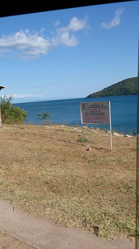
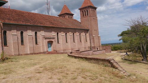
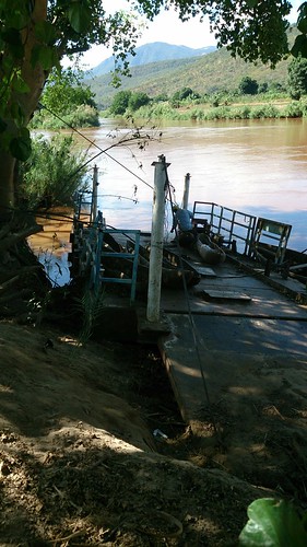
Elevation of Manda, Tanzania
Location: Tanzania > Iringa Region > Ludewa >
Longitude: 34.5943644
Latitude: -10.451376
Elevation: 483m / 1585feet
Barometric Pressure: 96KPa
Related Photos:
Topographic Map of Manda, Tanzania
Find elevation by address:

Places near Manda, Tanzania:
Masasi
Luilo
Nkomang'ombe
Nkomang'ombe Dispensary
Ibumi
Ludewa Secondary School
Ludewa Mjini Road
Ludewa
Radio Best Fm
St. Alois Secondary School
Chief Kidulile Secondary School
Ludewa Mjini
Mlevalo
Muholo Primary School
Luana
Ludende
Madindo Dispensary
Milo
Mawengi
Mbinga
Recent Searches:
- Elevation of Corso Fratelli Cairoli, 35, Macerata MC, Italy
- Elevation of Tallevast Rd, Sarasota, FL, USA
- Elevation of 4th St E, Sonoma, CA, USA
- Elevation of Black Hollow Rd, Pennsdale, PA, USA
- Elevation of Oakland Ave, Williamsport, PA, USA
- Elevation of Pedrógão Grande, Portugal
- Elevation of Klee Dr, Martinsburg, WV, USA
- Elevation of Via Roma, Pieranica CR, Italy
- Elevation of Tavkvetili Mountain, Georgia
- Elevation of Hartfords Bluff Cir, Mt Pleasant, SC, USA


