Elevation of Manakamana, Nepal
Location: Nepal > Central Region > Bagmati >
Longitude: 85.1738576
Latitude: 27.9985698
Elevation: 1163m / 3816feet
Barometric Pressure: 88KPa
Elevation Map:
Satellite Map:
Related Photos:
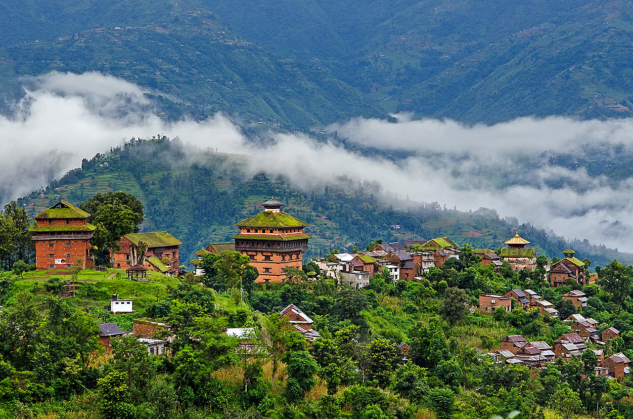
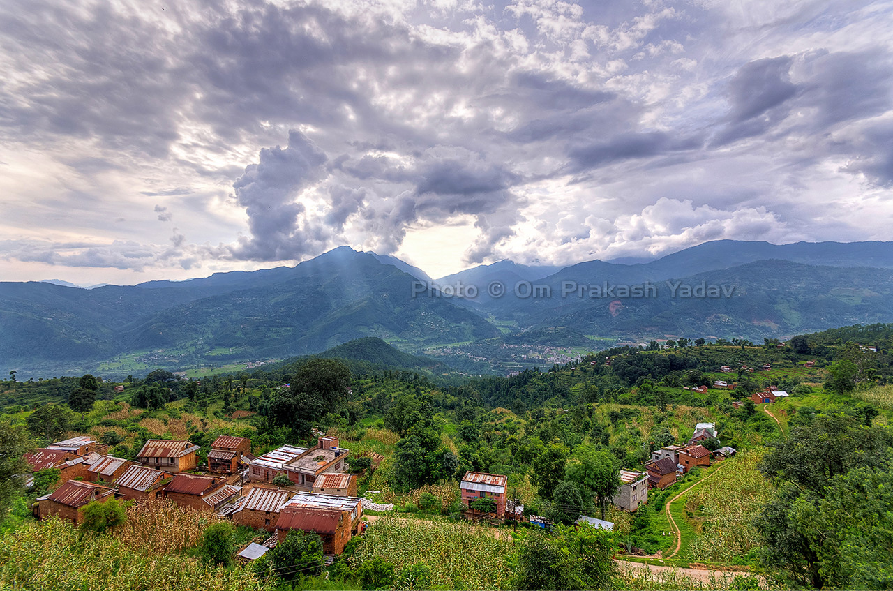
The historic town of Nuwakot early in the morning
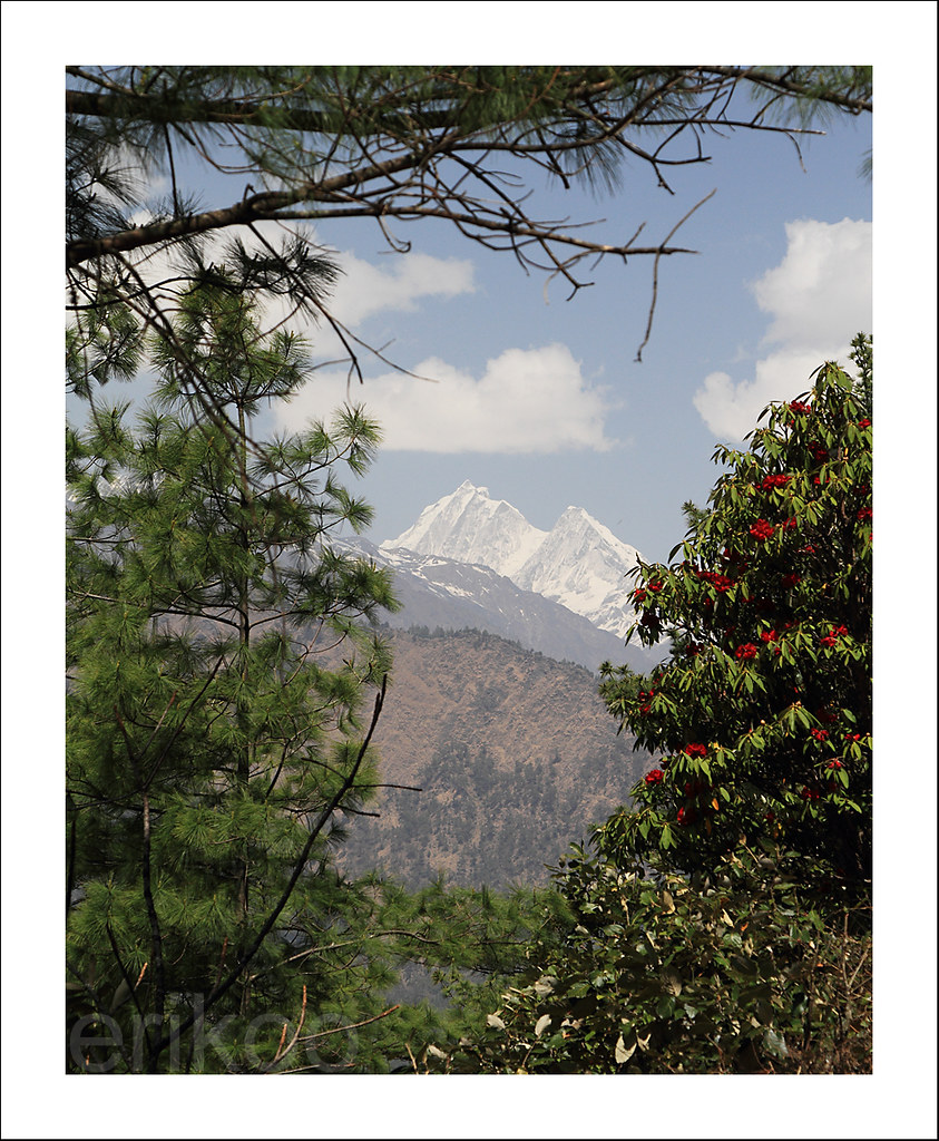
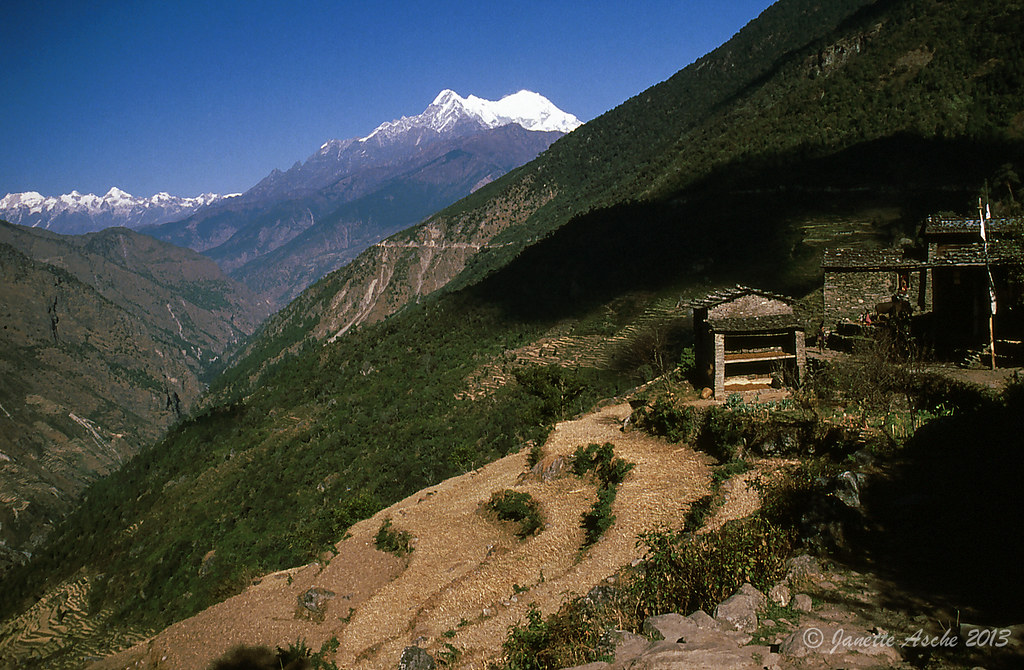
view from Nepal to Tibet
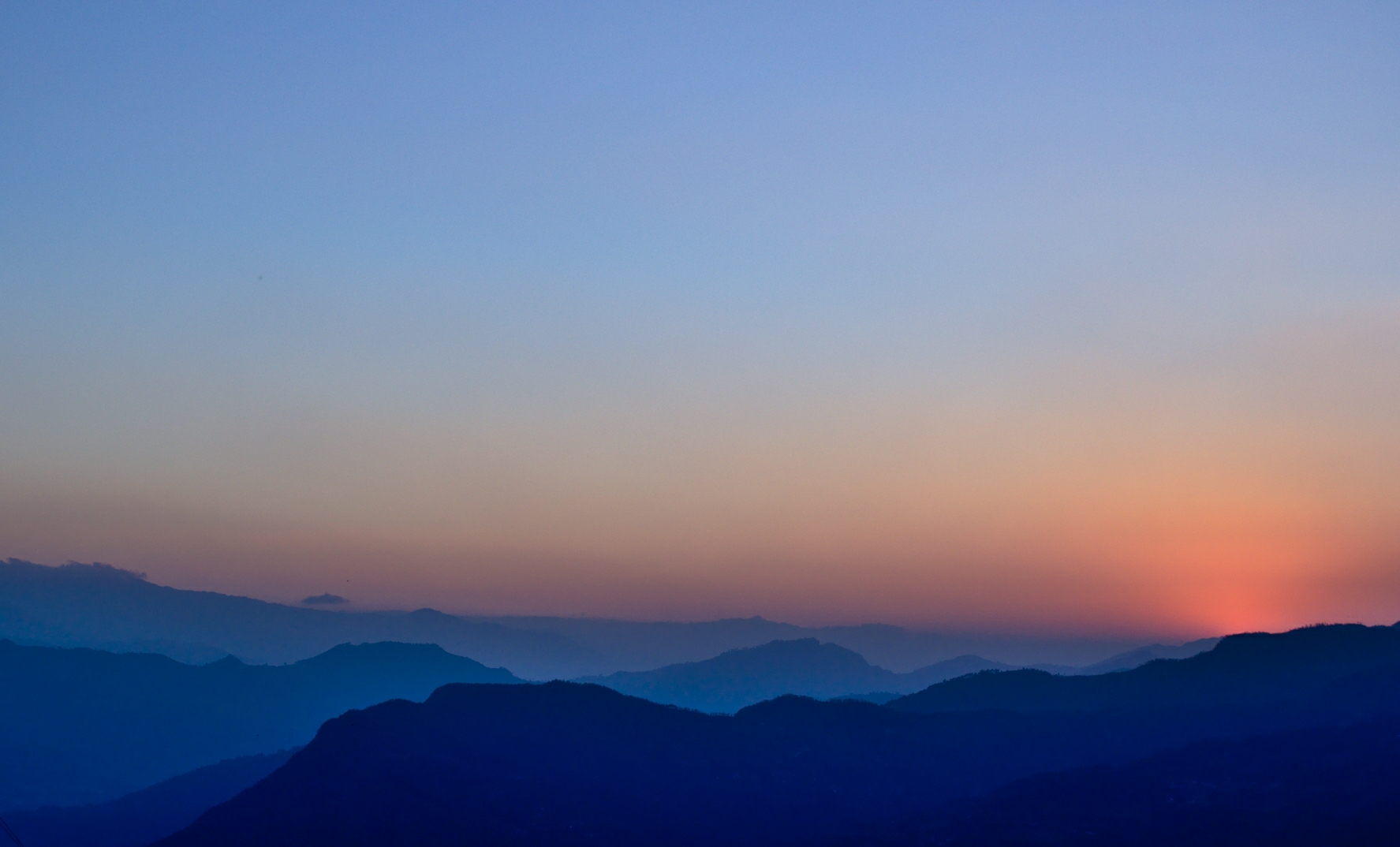
Sunset from Nuwakot

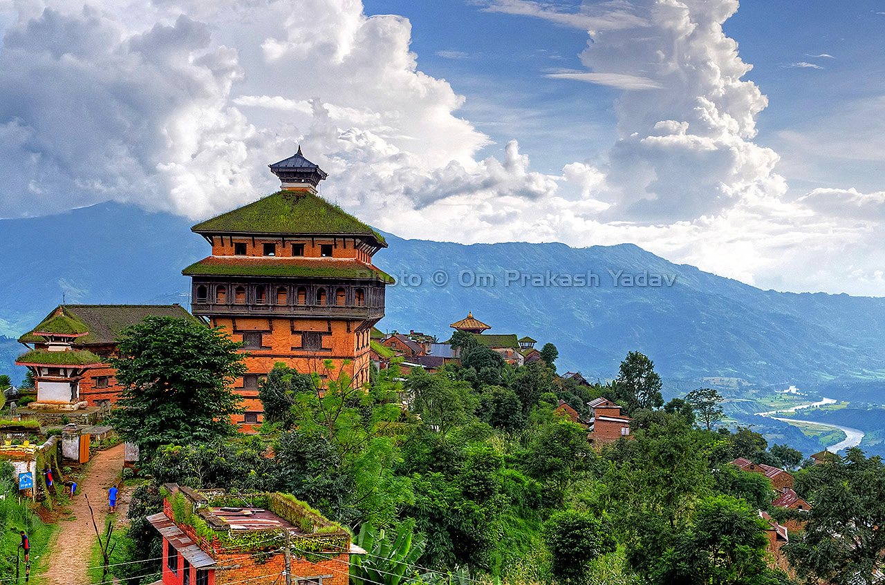
View from top of the Nuwakot palace.
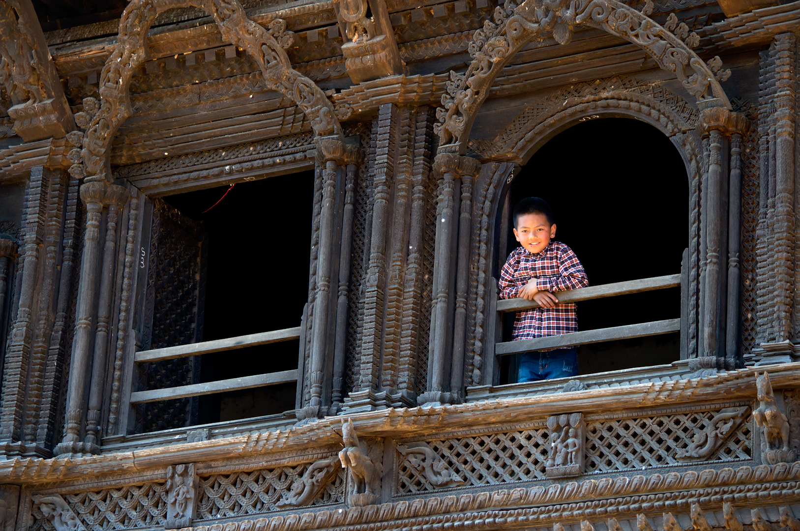
Kid enjoing view from top of the palace

NpNuw-sD0060
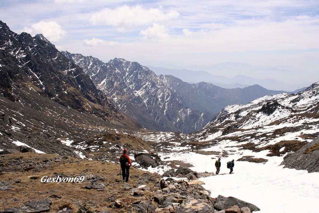
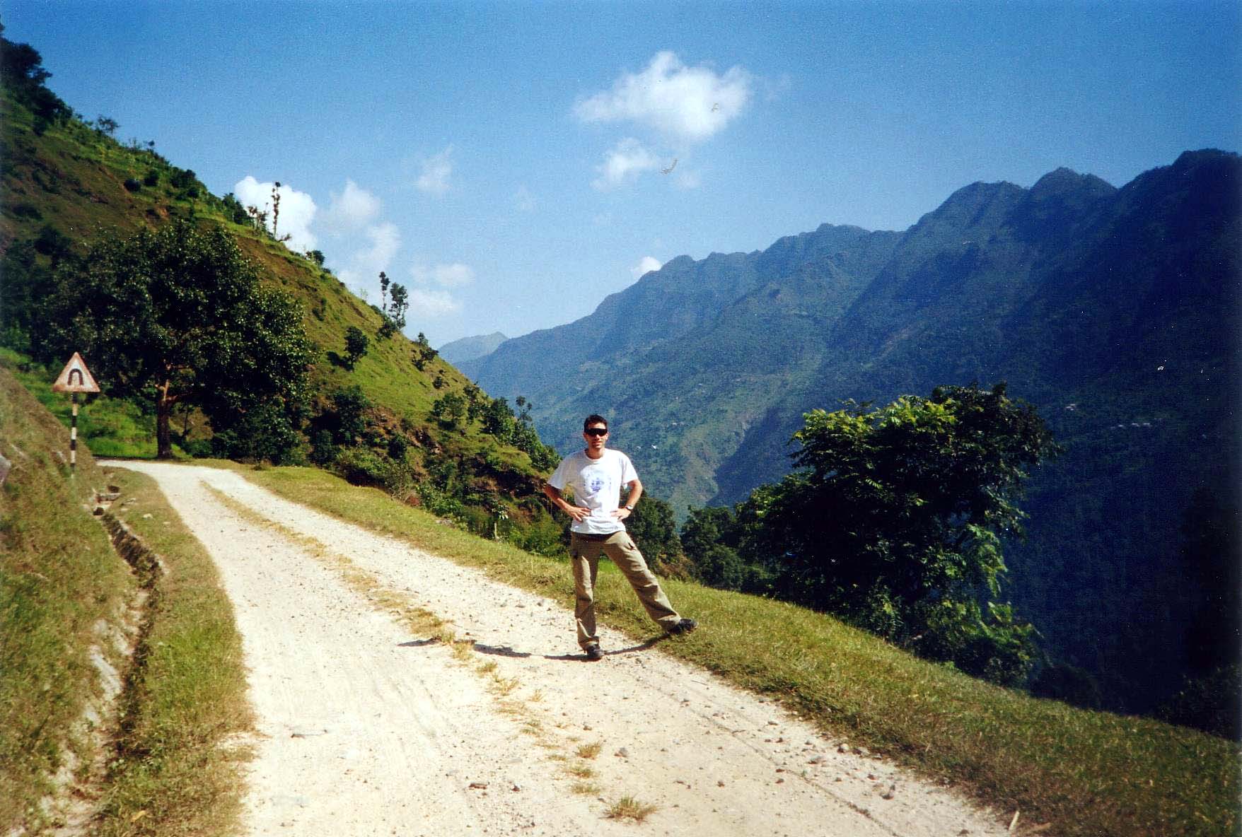
IMG_8614 - Trek au Népal
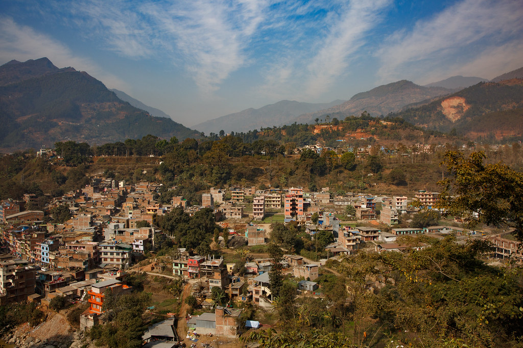
Trisuli Bazar, Nepal 26 januari 2017
Ramche, Langtang National Park, Nepal 26 januari 2017
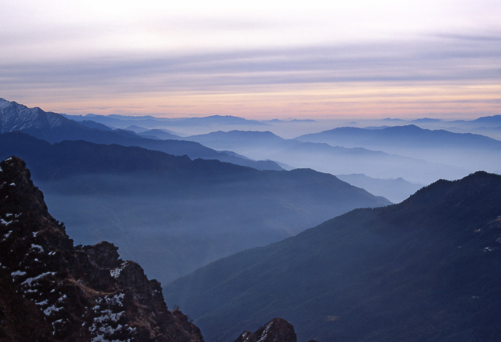
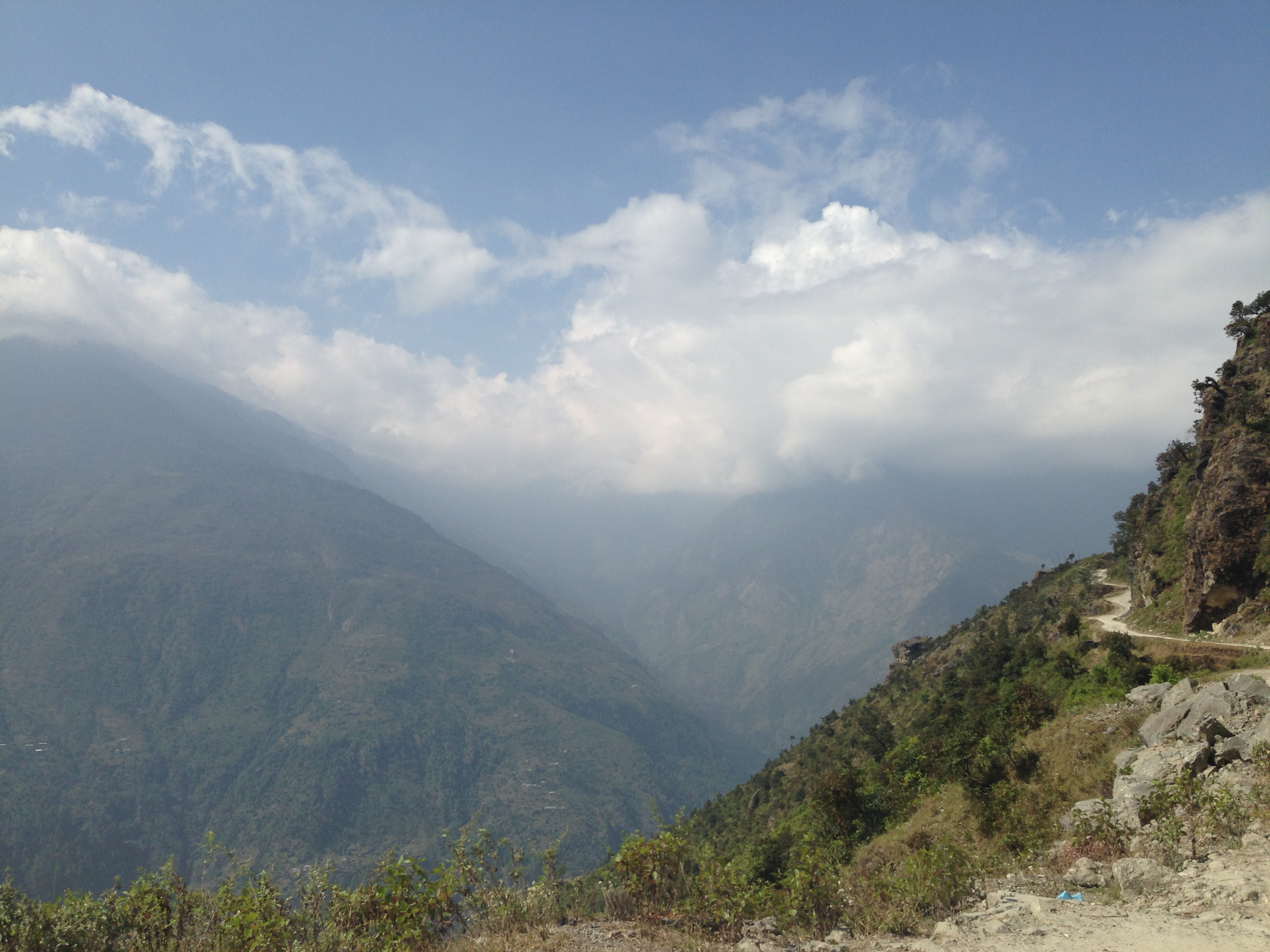
Nepal_1994_046 Misty valleys and morning light over the foothills (CE-10)
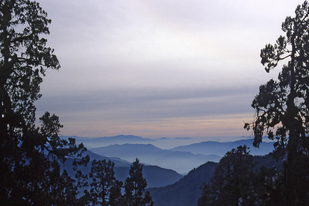
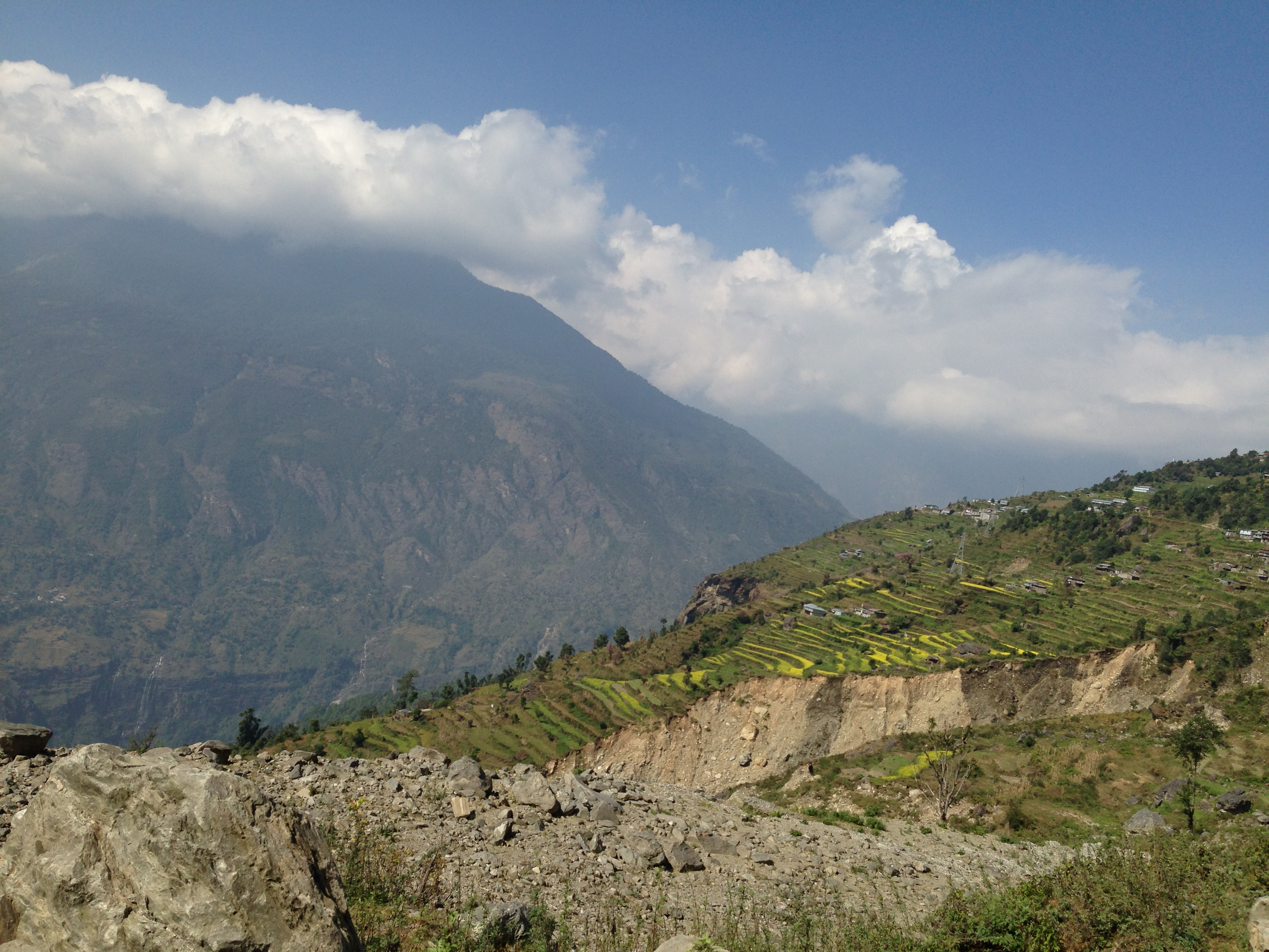
Nepal_1994_047 Misty valleys and morning light over the foothills (CE-11)
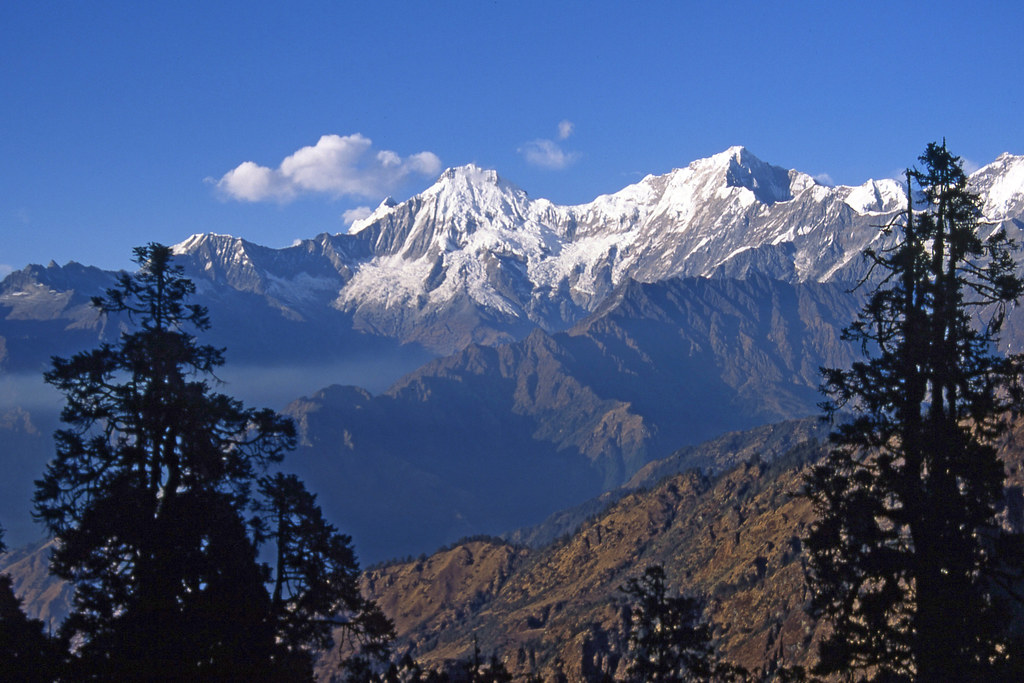
Nepal_1994_043 Ganesh Himal, from Tiru Danda (CE-5)
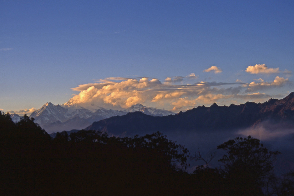
Nepal_1994_045 Evening light on clouds over Manaslu and the Mansiri Himal (CE-8)
Somewhere at Nepal
Trisuli River from Boka Jhunda, 1988
Good morning #Nuwakot #awesomenepal #ethanloveschips #dontforgetnepal #photochallenge #michaelallangrant
Nuwakot Palace with Trishuli river and valley in background
Nuwakot and the valley below
IMG_1748.jpg
IMG_1744.jpg

IMG_1747.jpg

IMG_1749.jpg
2000-10-07 L01-23 Xav Route
IMG_1746.jpg

IMG_1743.jpg
Topographic Map of Manakamana, Nepal
Find elevation by address:

Places near Manakamana, Nepal:
Bungtang Healthpost
The Famous Farm, Nuwakot
Bungtang
Bidur
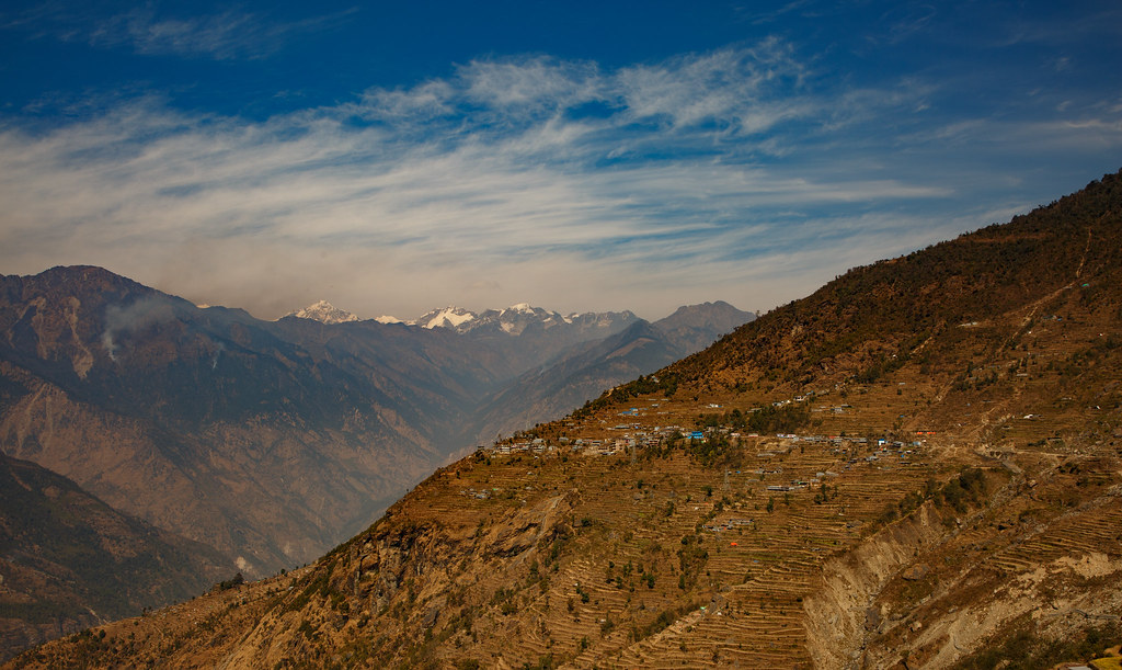
Nuwakot
Majhitar
Chaughada
थानसिंग
Dhunche
Dangsing
Thansing, Chhahare, Narayan Bogati's Farm
Kakani
Kakani Scouting Center
Samundratar
Gurje Bhanjyang
Shivapuri Village Resort
Sangla
Chhatre Deurali
Samundradevi
Tarakeshwar
Recent Searches:
- Elevation of Corso Fratelli Cairoli, 35, Macerata MC, Italy
- Elevation of Tallevast Rd, Sarasota, FL, USA
- Elevation of 4th St E, Sonoma, CA, USA
- Elevation of Black Hollow Rd, Pennsdale, PA, USA
- Elevation of Oakland Ave, Williamsport, PA, USA
- Elevation of Pedrógão Grande, Portugal
- Elevation of Klee Dr, Martinsburg, WV, USA
- Elevation of Via Roma, Pieranica CR, Italy
- Elevation of Tavkvetili Mountain, Georgia
- Elevation of Hartfords Bluff Cir, Mt Pleasant, SC, USA