Elevation of Chaughada, Nepal
Location: Nepal > Central Region > Bagmati >
Longitude: 85.2489603
Latitude: 27.9047608
Elevation: 597m / 1959feet
Barometric Pressure: 94KPa
Elevation Map:
Satellite Map:
Related Photos:

The historic town of Nuwakot early in the morning

Sunset from Nuwakot

Kid enjoing view from top of the palace

View from top of the Nuwakot palace.

Morning view
View from the guesthouse
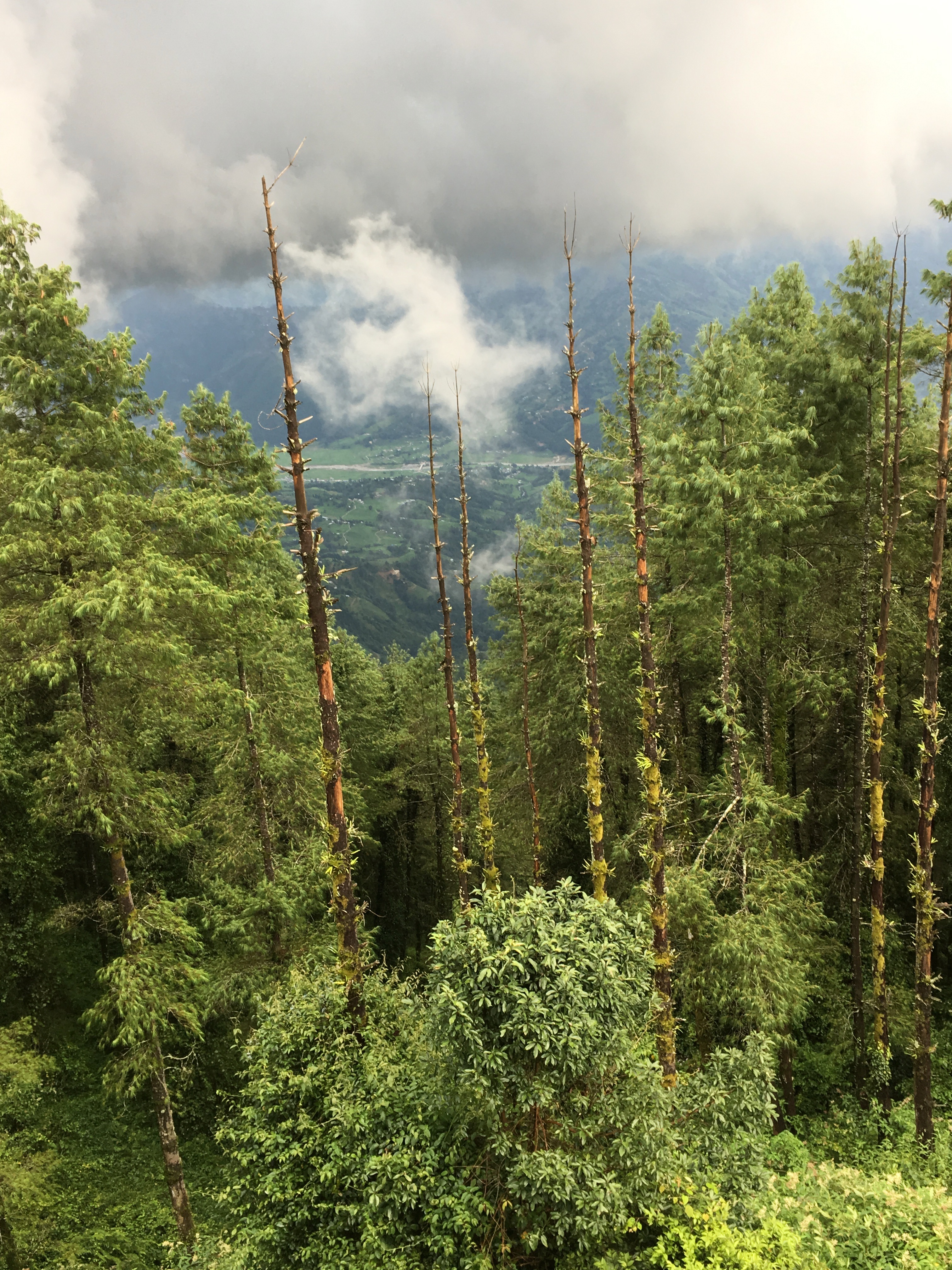
IMG_8614 - Trek au Népal

Sunset, Nepal

Rice fields

Nuwakot Palace with Trishuli river and valley in background

Nuwakot and the valley below

Sunset over Tinpiple

Sunrise in Nepal

Mustard field

20180421_151634(0)

Good morning #Nuwakot #awesomenepal #ethanloveschips #dontforgetnepal #photochallenge #michaelallangrant

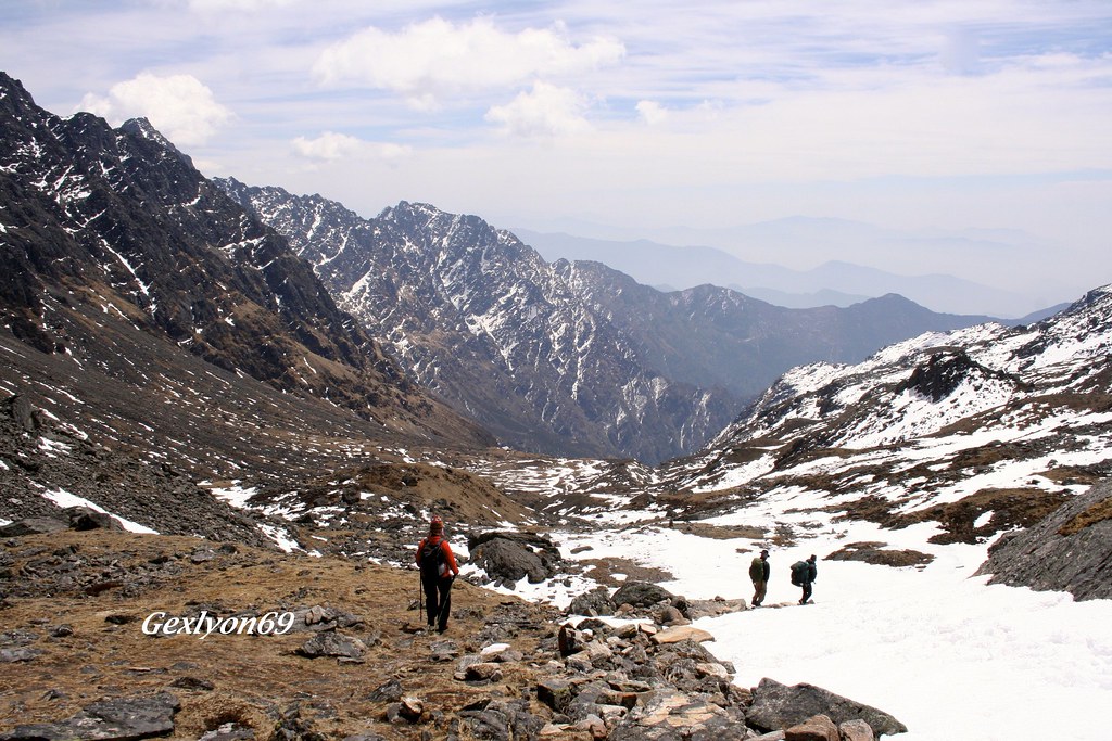
Ramche, Langtang National Park, Nepal 26 januari 2017
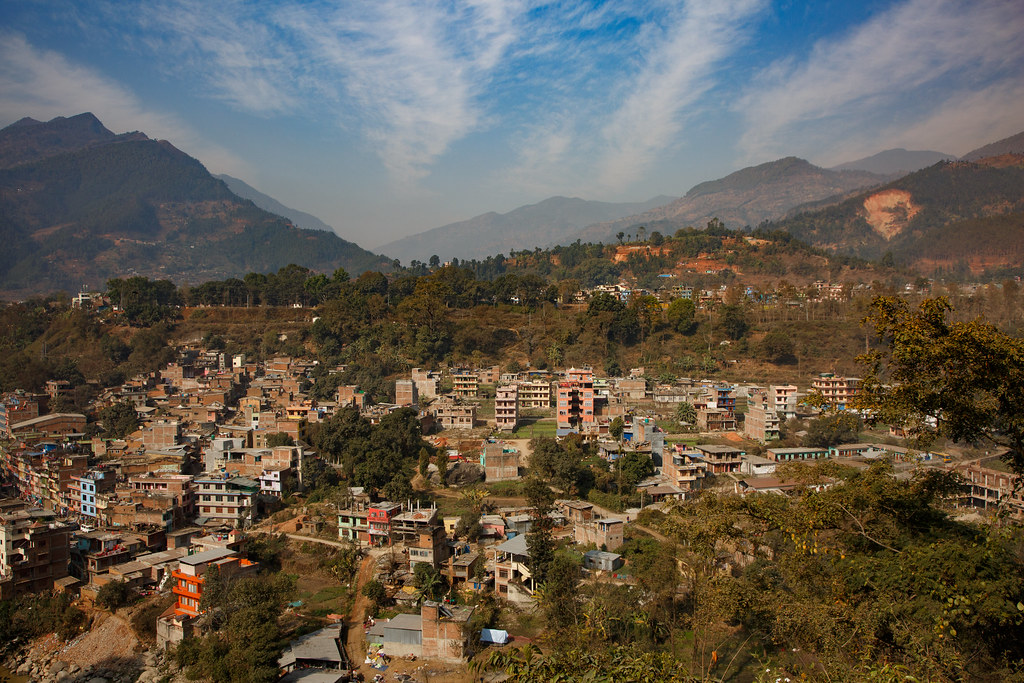
Trisuli Bazar, Nepal 26 januari 2017

2017-12-17 164708
Topographic Map of Chaughada, Nepal
Find elevation by address:

Places near Chaughada, Nepal:
थानसिंग
Thansing, Chhahare, Narayan Bogati's Farm
Kakani
The Famous Farm, Nuwakot
Kakani Scouting Center
Bidur
Majhitar
Nuwakot
Gurje Bhanjyang
Shivapuri Village Resort
Sangla
Samundradevi
Tarakeshwar
Jhor Mahankal
Samundratar
Muhanpokhari Khaja Ghar
Sikre
Danda Gaon Jungle Resort
Tokha Chandeshwori
Shivapuri
Recent Searches:
- Elevation of Corso Fratelli Cairoli, 35, Macerata MC, Italy
- Elevation of Tallevast Rd, Sarasota, FL, USA
- Elevation of 4th St E, Sonoma, CA, USA
- Elevation of Black Hollow Rd, Pennsdale, PA, USA
- Elevation of Oakland Ave, Williamsport, PA, USA
- Elevation of Pedrógão Grande, Portugal
- Elevation of Klee Dr, Martinsburg, WV, USA
- Elevation of Via Roma, Pieranica CR, Italy
- Elevation of Tavkvetili Mountain, Georgia
- Elevation of Hartfords Bluff Cir, Mt Pleasant, SC, USA