Elevation of Malshiras, Maharashtra, India
Location: India > Maharashtra > Solapur >
Longitude: 74.9054785
Latitude: 17.8632547
Elevation: 534m / 1752feet
Barometric Pressure: 95KPa
Elevation Map:
Satellite Map:
Related Photos:

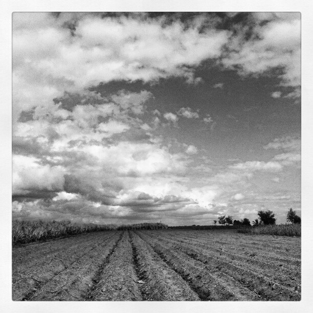
Vineyards

Rahul mohidekar

Agastya kantawala

Yellow on Blue
Topographic Map of Malshiras, Maharashtra, India
Find elevation by address:

Places near Malshiras, Maharashtra, India:
Chahurwasti
Manemala
Giravi
Deshmukh Vasti
Panmala
Mhaswad
Shindenagar
Kurvali Bk.
Indapur
Andrud
Rajuri
Rajewadi
Z P School Kalamala
Hanmantwadi
Suhas Gosavi Vasti
Munjawadi
Belewadi
Palashi
Lingivare
Ramanagar
Recent Searches:
- Elevation of Corso Fratelli Cairoli, 35, Macerata MC, Italy
- Elevation of Tallevast Rd, Sarasota, FL, USA
- Elevation of 4th St E, Sonoma, CA, USA
- Elevation of Black Hollow Rd, Pennsdale, PA, USA
- Elevation of Oakland Ave, Williamsport, PA, USA
- Elevation of Pedrógão Grande, Portugal
- Elevation of Klee Dr, Martinsburg, WV, USA
- Elevation of Via Roma, Pieranica CR, Italy
- Elevation of Tavkvetili Mountain, Georgia
- Elevation of Hartfords Bluff Cir, Mt Pleasant, SC, USA