Elevation of Indapur, Maharashtra, India
Location: India > Maharashtra > Pune >
Longitude: 75.0319086
Latitude: 18.1140272
Elevation: 524m / 1719feet
Barometric Pressure: 95KPa
Elevation Map:
Satellite Map:
Related Photos:
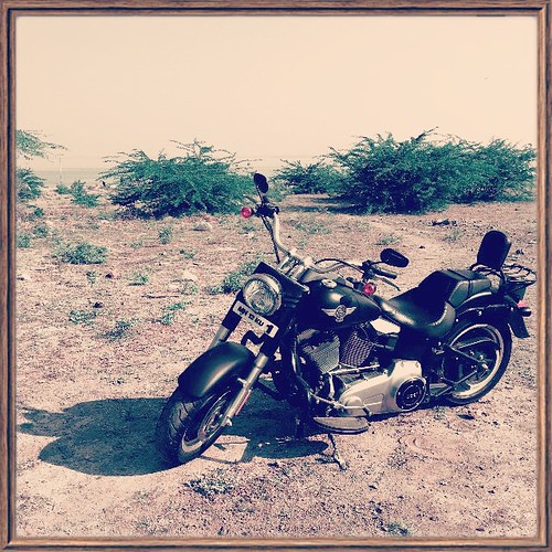
The bike

Catch me if you can . . .
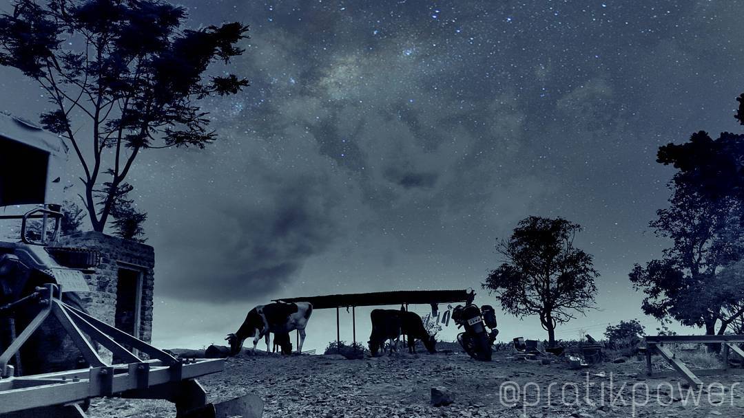
As long as you are standing, give a hand to those who have fallen. #StarShow ???? #NagorliFarms ???? #JustLikeThat #HappyWeekend ???? #PratikPower ????

Bush Morning Glory
Topographic Map of Indapur, Maharashtra, India
Find elevation by address:

Places near Indapur, Maharashtra, India:
Manemala
Deshmukh Vasti
Malshiras
Belewadi
Chahurwasti
Suhas Gosavi Vasti
Shindenagar
Asu
Hanmantwadi
Giravi
Kurduvadi
Pawarwadi
Tamkhada
Munjawadi
Gokhali
Rajuri
Baramati
Khatkewasti
Kurvali Bk.
Ramanagar
Recent Searches:
- Elevation of Corso Fratelli Cairoli, 35, Macerata MC, Italy
- Elevation of Tallevast Rd, Sarasota, FL, USA
- Elevation of 4th St E, Sonoma, CA, USA
- Elevation of Black Hollow Rd, Pennsdale, PA, USA
- Elevation of Oakland Ave, Williamsport, PA, USA
- Elevation of Pedrógão Grande, Portugal
- Elevation of Klee Dr, Martinsburg, WV, USA
- Elevation of Via Roma, Pieranica CR, Italy
- Elevation of Tavkvetili Mountain, Georgia
- Elevation of Hartfords Bluff Cir, Mt Pleasant, SC, USA