Elevation of Main St, Tooele, UT, USA
Location: United States > Utah > Tooele County > Tooele >
Longitude: -112.299103
Latitude: 40.5277958
Elevation: 1545m / 5069feet
Barometric Pressure: 0KPa
Related Photos:
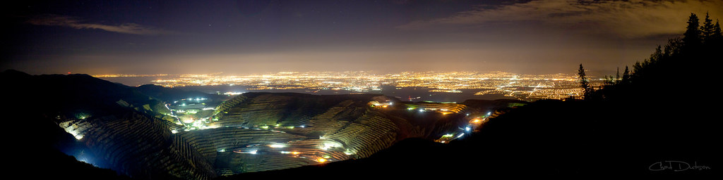
Kennecott Valley
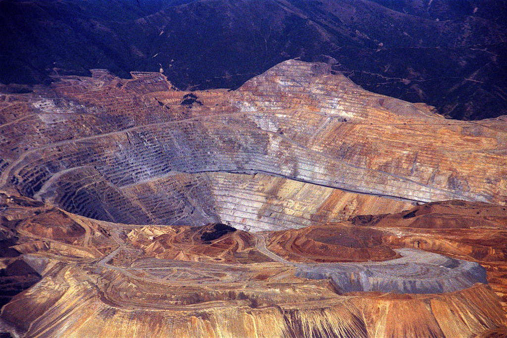
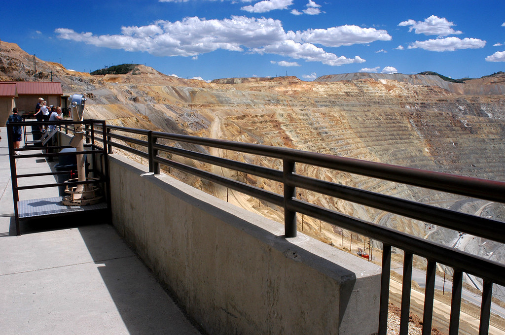
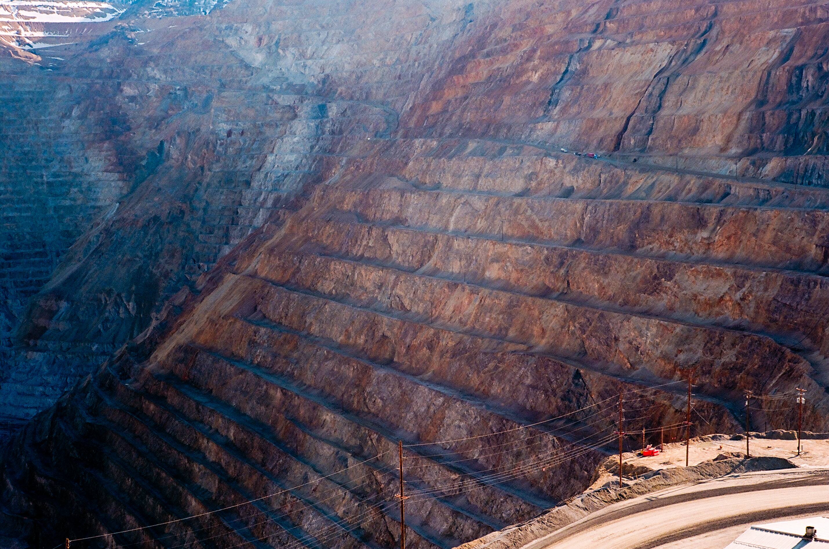
Bingham Canyon Mine, Salt Lake City, Utah
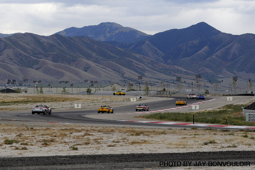
i80 views

Kennecott Copper Mine
i80 views
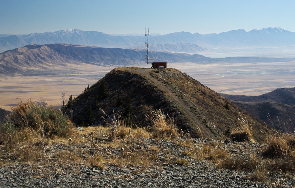
Heading to Jacob City
i80 views
DSC_0211.JPG
Kennecott Bingham Canyon Copper Mine in Salt Lake City, Utah
20040702_0859...The pit! the pit! the pit!
Sunchaser08 820

R32 around the corner

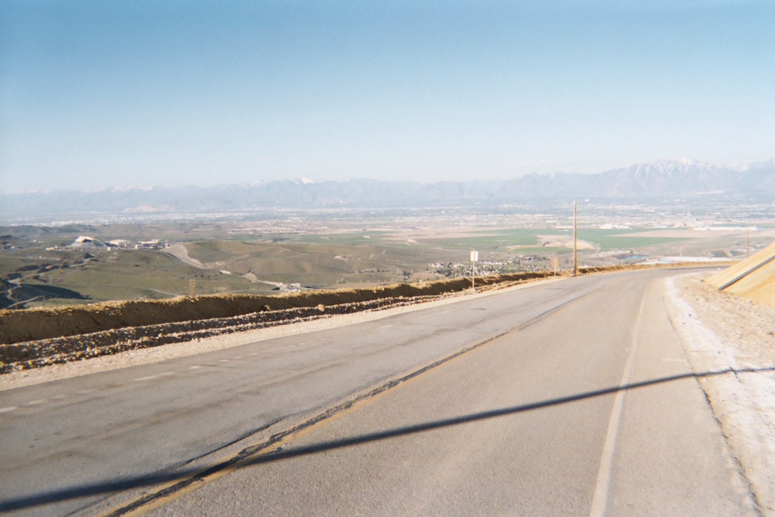
20040702_0957...View from the access road during the descent to the highway
Kennecott Mine 4
Down Butterfield Canyon

i80 views

i80 views
Jacob City
Hole in the Ground

This evening's sunset

360 from on top Small Planet

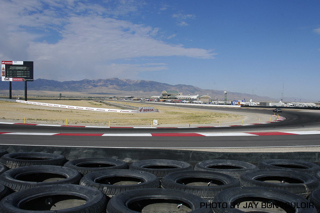
Lucas oil championship motocross, VIP suite + pit pass = good times. Thanks again Jefe' (they're a couple weeks old)
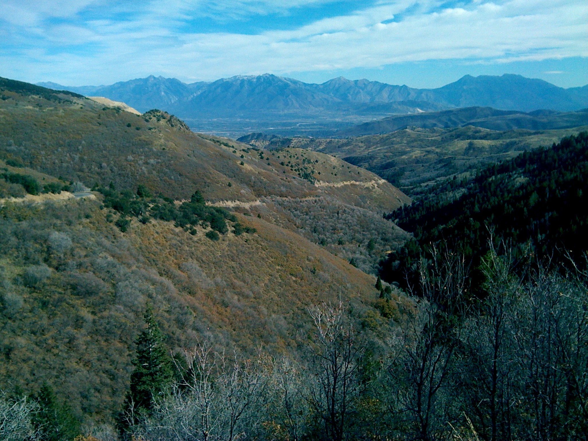
Stone and I hiking Middle Canyon
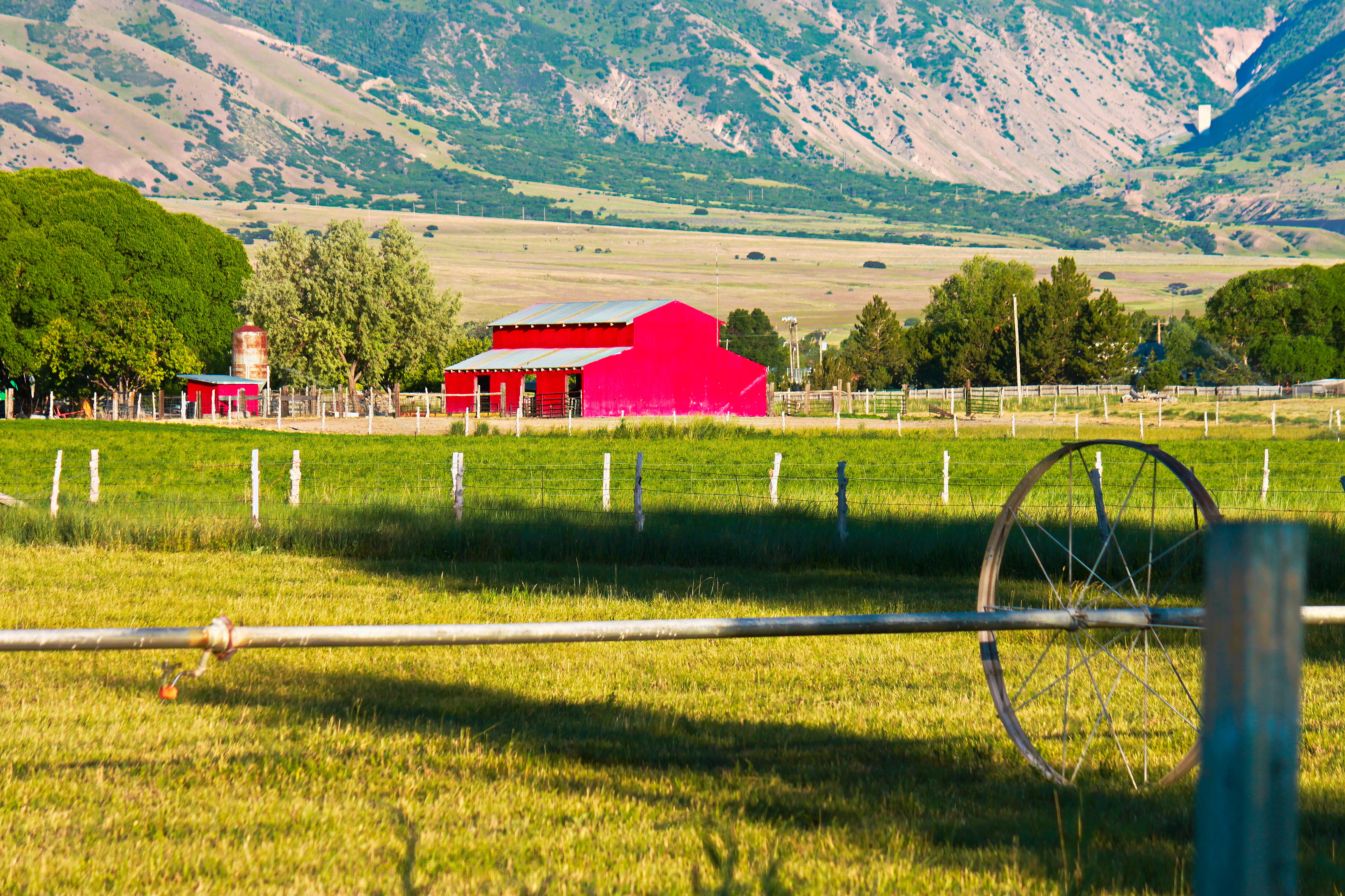
OLD RED

A Warrior Walking the Path
picsay-2010-02-17 14.37.51_Tooele-Grantsville_Utah_US

20150712_185400_Richtone(HDR)

Flying into Salt Lake City - 06

Flying into Salt Lake City - 05

20150712_182931_Richtone(HDR)

Flying into Salt Lake City - 04
Sunchaser08 1344
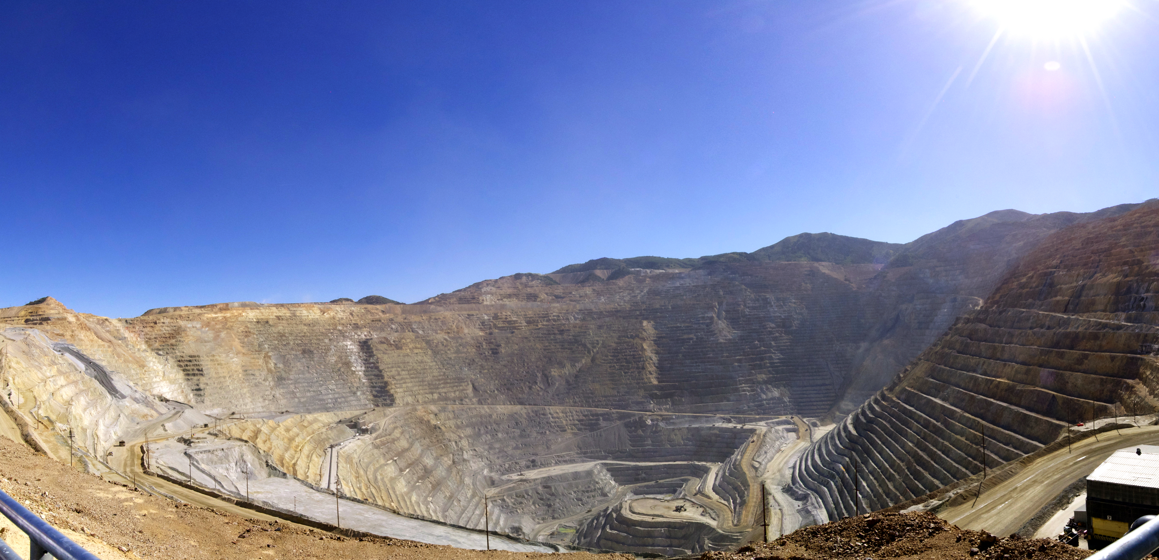
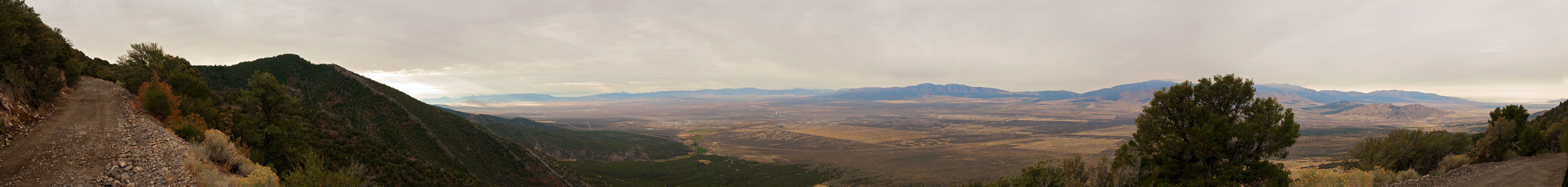
Kennecott Copper Mine - Panorama 1

Tooele County

Kennecott Copper Mine - Panorama 2
The Point of a Pyramid

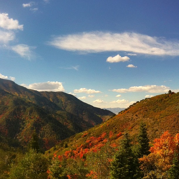
Fall of Fall
Topographic Map of Main St, Tooele, UT, USA
Find elevation by address:

Places near Main St, Tooele, UT, USA:
Tooele
25 E Vine St, Tooele, UT, USA
301 W 730 S
783 E 360 S
640 S 1050 W
1072 Paulos Blvd
Tooele Army Depot
559 W 3460 N
67 W Erda Way
245 E Erda Way
Bauer
Stockton
134 Railroad St
Utah 112
Rush Lake
Bingham Copper Mine
Donner Place
2904 W Rim Rock Dr
Main St @ 400 E
283 E Cherry St
Recent Searches:
- Elevation of 2881, Chabot Drive, San Bruno, San Mateo County, California, 94066, USA
- Elevation of 10370, West 107th Circle, Westminster, Jefferson County, Colorado, 80021, USA
- Elevation of 611, Roman Road, Old Ford, Bow, London, England, E3 2RW, United Kingdom
- Elevation of 116, Beartown Road, Underhill, Chittenden County, Vermont, 05489, USA
- Elevation of Window Rock, Colfax County, New Mexico, 87714, USA
- Elevation of 4807, Rosecroft Street, Kempsville Gardens, Virginia Beach, Virginia, 23464, USA
- Elevation map of Matawinie, Quebec, Canada
- Elevation of Sainte-Émélie-de-l'Énergie, Matawinie, Quebec, Canada
- Elevation of Rue du Pont, Sainte-Émélie-de-l'Énergie, Matawinie, Quebec, J0K2K0, Canada
- Elevation of 8, Rue de Bécancour, Blainville, Thérèse-De Blainville, Quebec, J7B1N2, Canada
- Elevation of Wilmot Court North, 163, University Avenue West, Northdale, Waterloo, Region of Waterloo, Ontario, N2L6B6, Canada
- Elevation map of Panamá Province, Panama
- Elevation of Balboa, Panamá Province, Panama
- Elevation of San Miguel, Balboa, Panamá Province, Panama
- Elevation of Isla Gibraleón, San Miguel, Balboa, Panamá Province, Panama
- Elevation of 4655, Krischke Road, Schulenburg, Fayette County, Texas, 78956, USA
- Elevation of Carnegie Avenue, Downtown Cleveland, Cleveland, Cuyahoga County, Ohio, 44115, USA
- Elevation of Walhonding, Coshocton County, Ohio, USA
- Elevation of Clifton Down, Clifton, Bristol, City of Bristol, England, BS8 3HU, United Kingdom
- Elevation map of Auvergne-Rhône-Alpes, France