Elevation of Main St, Rock Valley, IA, USA
Location: United States > Iowa > Sioux County > Rock > Rock Valley >
Longitude: -96.2946761
Latitude: 43.2053533
Elevation: 381m / 1250feet
Barometric Pressure: 0KPa
Related Photos:
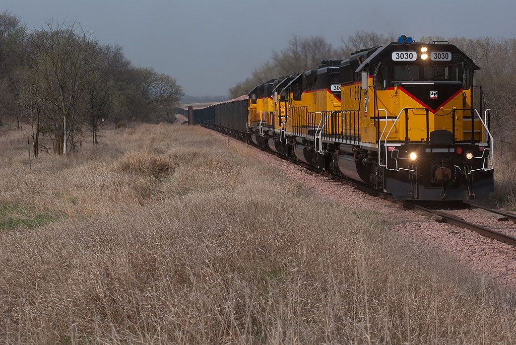
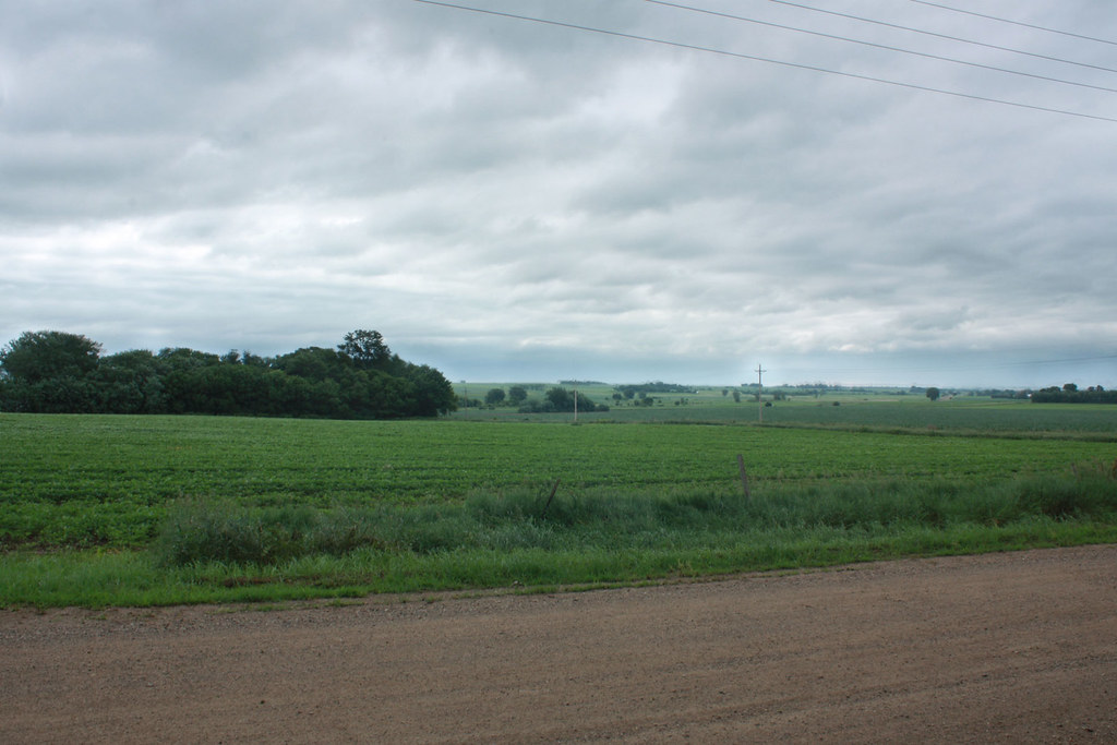
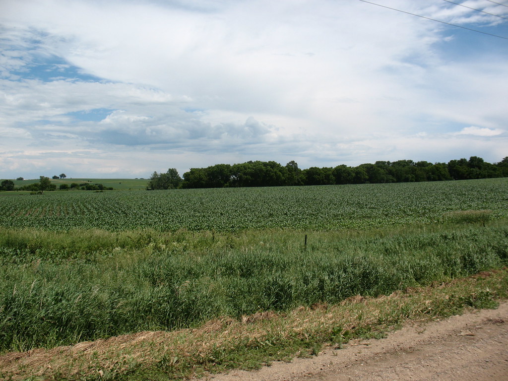
Outside Hudson...

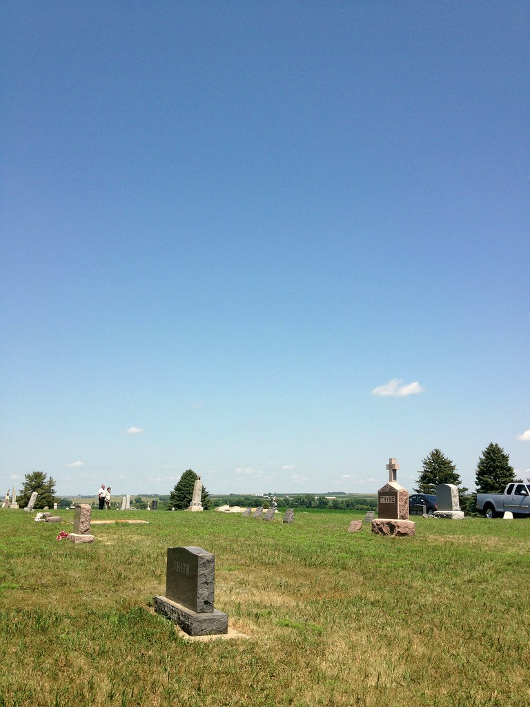
Graham Farm, Doon,IA 1972
You've got a lovely place to rest. #project365

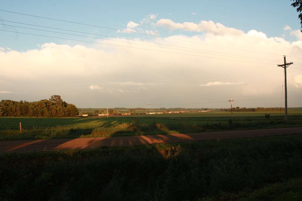
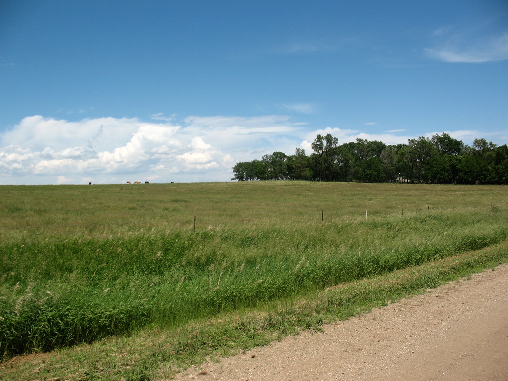
Sunrise - Hudson, SD
@ grandparents' farm

Sunrise - Hudson, SD

Sunrise - Hudson, SD

Sunrise - Hudson, SD

Sunrise - Hudson, SD

Sunrise - Hudson, SD

Sunrise - Hudson, SD
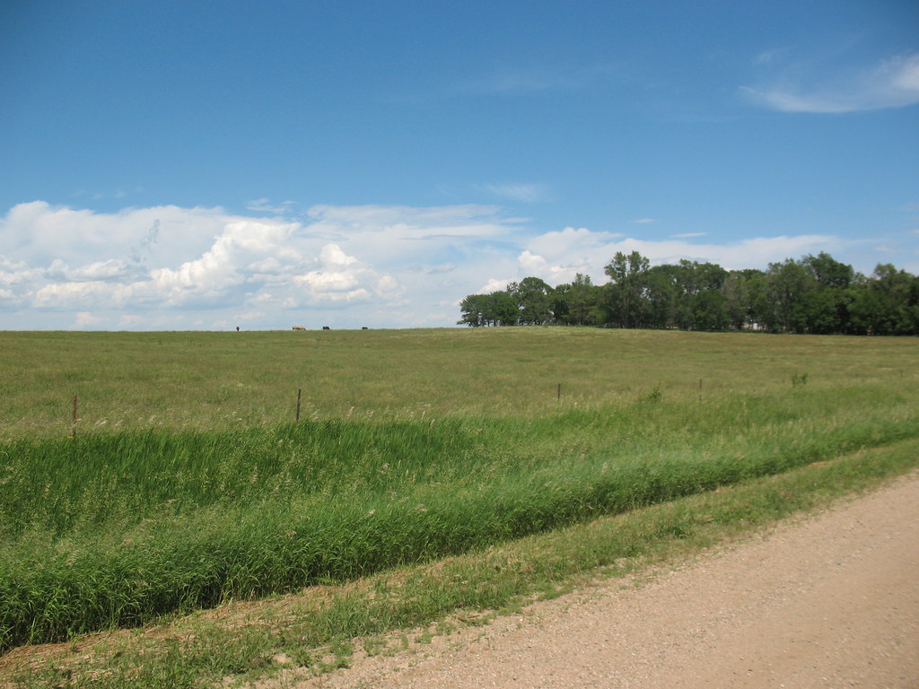
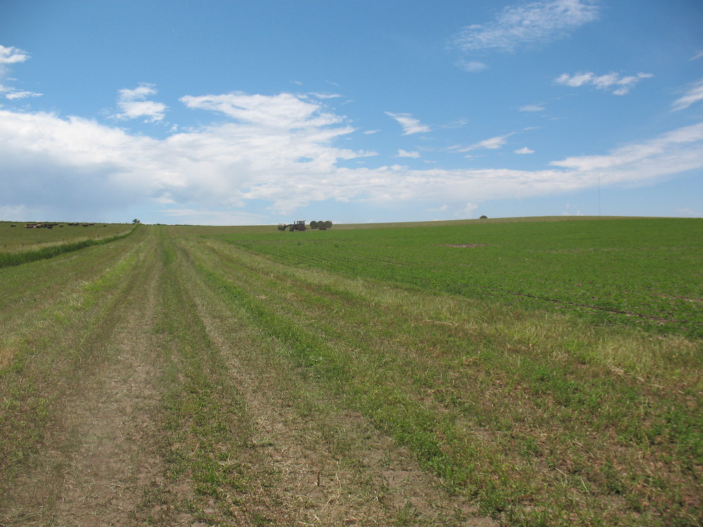
@ the farm
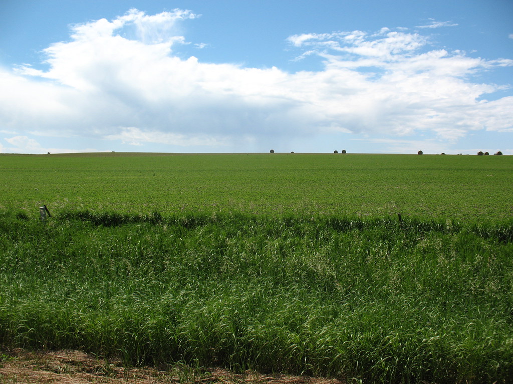
@ grandparents' farm
@ the farm
@ the farm
@ the farm
@ the farm
Topographic Map of Main St, Rock Valley, IA, USA
Find elevation by address:

Places near Main St, Rock Valley, IA, USA:
Rock Valley
Rock
Doon
Doon
S 2nd St, Doon, IA, USA
Welcome
1800 N Main Ave
3185 370th St
Sioux Center
Dordt Prairie
Sioux County
Rock
3778 Indian Ave
Lyon County
Buncombe
Rock Rapids
S Union St, Rock Rapids, IA, USA
301 S 6th Ave
905 Main St
905 Main St
Recent Searches:
- Elevation of 908, Northwood Drive, Bridge Field, Chesapeake, Virginia, 23322, USA
- Elevation map of Nagano Prefecture, Japan
- Elevation of 587, Bascule Drive, Oakdale, Stanislaus County, California, 95361, USA
- Elevation of Stadion Wankdorf, Sempachstrasse, Breitfeld, Bern, Bern-Mittelland administrative district, Bern, 3014, Switzerland
- Elevation of Z024, 76, Emil-von-Behring-Straße, Marbach, Marburg, Landkreis Marburg-Biedenkopf, Hesse, 35041, Germany
- Elevation of Gaskill Road, Hunts Cross, Liverpool, England, L24 9PH, United Kingdom
- Elevation of Speke, Liverpool, England, L24 9HD, United Kingdom
- Elevation of Seqirus, 475, Green Oaks Parkway, Holly Springs, Wake County, North Carolina, 27540, USA
- Elevation of Pasing, Munich, Bavaria, 81241, Germany
- Elevation of 24, Auburn Bay Crescent SE, Auburn Bay, Calgary, Alberta, T3M 0A6, Canada
- Elevation of Denver, 2314, Arapahoe Street, Five Points, Denver, Colorado, 80205, USA
- Elevation of Community of the Beatitudes, 2924, West 43rd Avenue, Sunnyside, Denver, Colorado, 80211, USA
- Elevation map of Litang County, Sichuan, China
- Elevation map of Madoi County, Qinghai, China
- Elevation of 3314, Ohio State Route 114, Payne, Paulding County, Ohio, 45880, USA
- Elevation of Sarahills Drive, Saratoga, Santa Clara County, California, 95070, USA
- Elevation of Town of Bombay, Franklin County, New York, USA
- Elevation of 9, Convent Lane, Center Moriches, Suffolk County, New York, 11934, USA
- Elevation of Saint Angelas Convent, 9, Convent Lane, Center Moriches, Suffolk County, New York, 11934, USA
- Elevation of 131st Street Southwest, Mukilteo, Snohomish County, Washington, 98275, USA