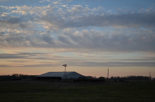
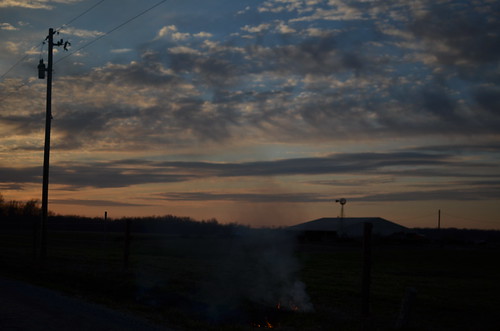
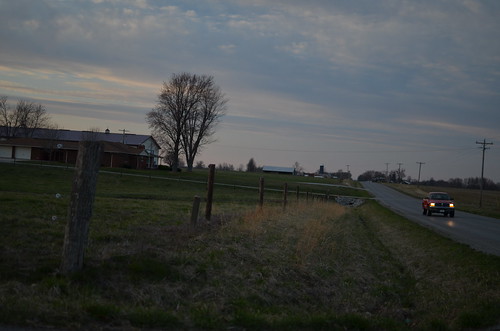
Elevation of Main St, Mt Erie, IL, USA
Location: United States > Illinois > Wayne County > Mount Erie Township > Mount Erie >
Longitude: -88.231054
Latitude: 38.5150719
Elevation: 150m / 492feet
Barometric Pressure: 100KPa
Related Photos:
Topographic Map of Main St, Mt Erie, IL, USA
Find elevation by address:

Places near Main St, Mt Erie, IL, USA:
Mount Erie
Mount Erie Township
County Road 1250n
County Road 1250n
Jasper Township
Leech Township
Golden Gate
Grover Township
Jeffersonville
E Delaware St, Fairfield, IL, USA
Fairfield
W Mechanics St, Jeffersonville, IL, USA
Parkersburg
Madison Township
W Locust St, Parkersburg, IL, USA
Bedford Township
Edwards County
Cisne
US-45, Cisne, IL, USA
Wayne County
Recent Searches:
- Elevation of Corso Fratelli Cairoli, 35, Macerata MC, Italy
- Elevation of Tallevast Rd, Sarasota, FL, USA
- Elevation of 4th St E, Sonoma, CA, USA
- Elevation of Black Hollow Rd, Pennsdale, PA, USA
- Elevation of Oakland Ave, Williamsport, PA, USA
- Elevation of Pedrógão Grande, Portugal
- Elevation of Klee Dr, Martinsburg, WV, USA
- Elevation of Via Roma, Pieranica CR, Italy
- Elevation of Tavkvetili Mountain, Georgia
- Elevation of Hartfords Bluff Cir, Mt Pleasant, SC, USA
