Elevation of Golden Gate, IL, USA
Location: United States > Illinois > Wayne County > Leech Township >
Longitude: -88.204207
Latitude: 38.3594924
Elevation: 119m / 390feet
Barometric Pressure: 100KPa
Elevation Map:
Satellite Map:
Related Photos:

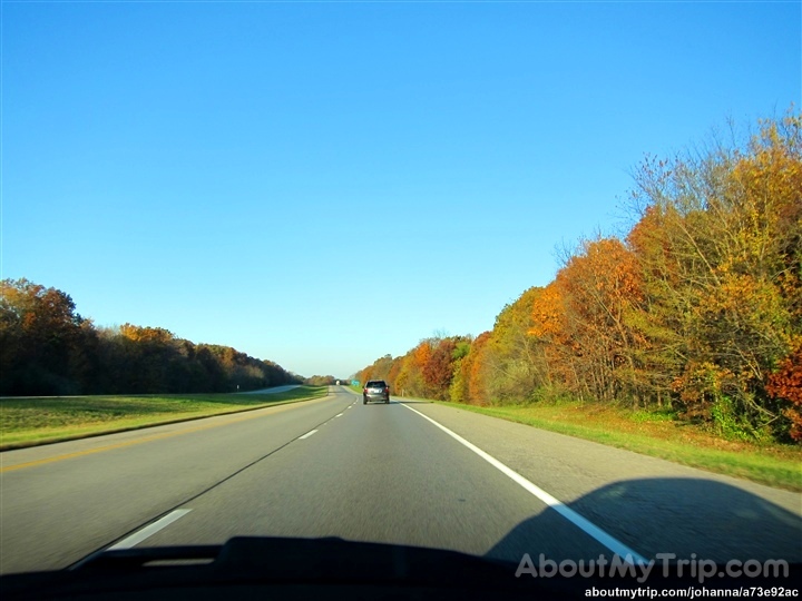
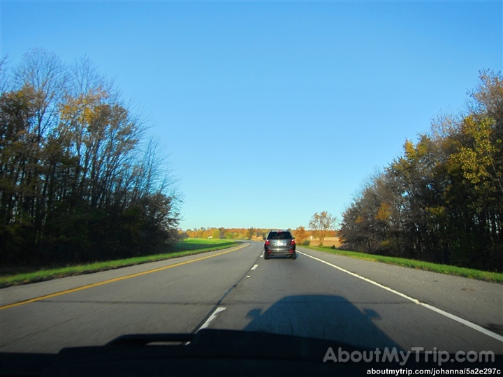
Edwards County Lanes
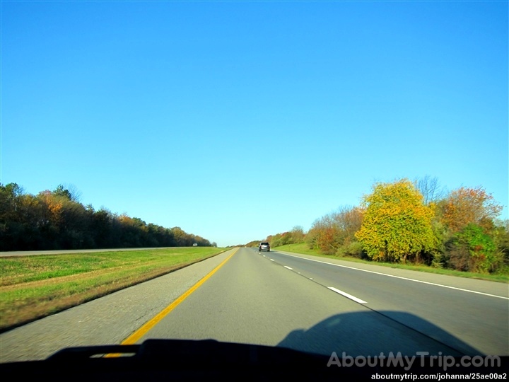
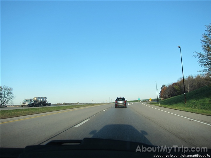
Highway Xerox

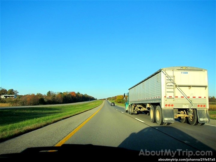
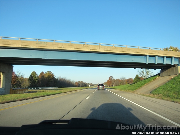
Truck_11412-45.jpg

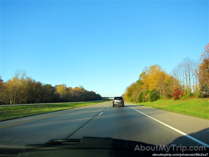
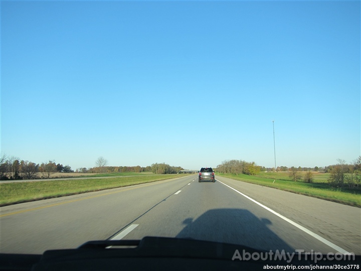
Cross country trip
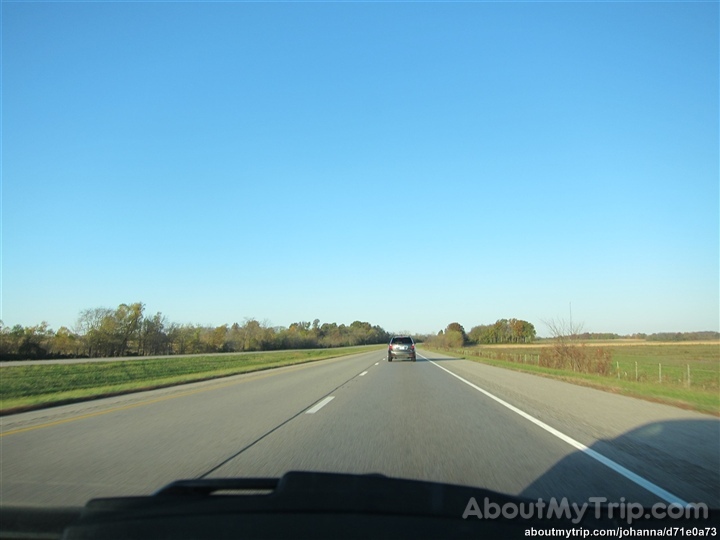
Illinois, Wayne County
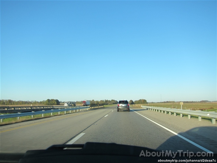
Illinois, Wayne County
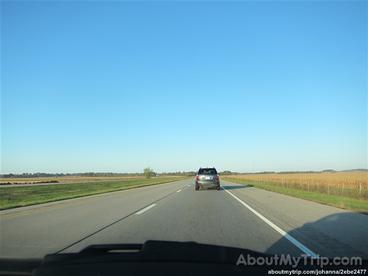
Illinois, Wayne County
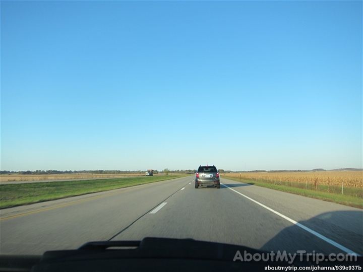
Illinois, Wayne County
Illinois, Wayne County
Illinois, Wayne County

Illinois, Wayne County
Illinois, Wayne County

Illinois, Wayne County
Illinois, Wayne County

Illinois, White County
Illinois, White County
Illinois, White County
Illinois, White County
Illinois, White County
Illinois, White County
Illinois, White County
Illinois, White County
Illinois, White County
Topographic Map of Golden Gate, IL, USA
Find elevation by address:

Places near Golden Gate, IL, USA:
Leech Township
County Road 1250n
County Road 1250n
Grover Township
Jasper Township
Mount Erie Township
E Delaware St, Fairfield, IL, USA
Fairfield
Mount Erie
Main St, Mt Erie, IL, USA
Edwards County
Wayne County
Jeffersonville
W Mechanics St, Jeffersonville, IL, USA
Lamard Township
Crossville
Elliott St, Crossville, IL, USA
Bedford Township
Phillips Township
Carmi
Recent Searches:
- Elevation of Corso Fratelli Cairoli, 35, Macerata MC, Italy
- Elevation of Tallevast Rd, Sarasota, FL, USA
- Elevation of 4th St E, Sonoma, CA, USA
- Elevation of Black Hollow Rd, Pennsdale, PA, USA
- Elevation of Oakland Ave, Williamsport, PA, USA
- Elevation of Pedrógão Grande, Portugal
- Elevation of Klee Dr, Martinsburg, WV, USA
- Elevation of Via Roma, Pieranica CR, Italy
- Elevation of Tavkvetili Mountain, Georgia
- Elevation of Hartfords Bluff Cir, Mt Pleasant, SC, USA