Elevation of Main Rd, Burgoyne's Cove, NL A0C 1G0, Canada
Location: Canada > Newfoundland And Labrador > Division No. 7 > Division No. 7, Subd. L > Burgoyne's Cove >
Longitude: -53.699069
Latitude: 48.145846
Elevation: 27m / 89feet
Barometric Pressure: 101KPa
Elevation Map:
Satellite Map:
Related Photos:
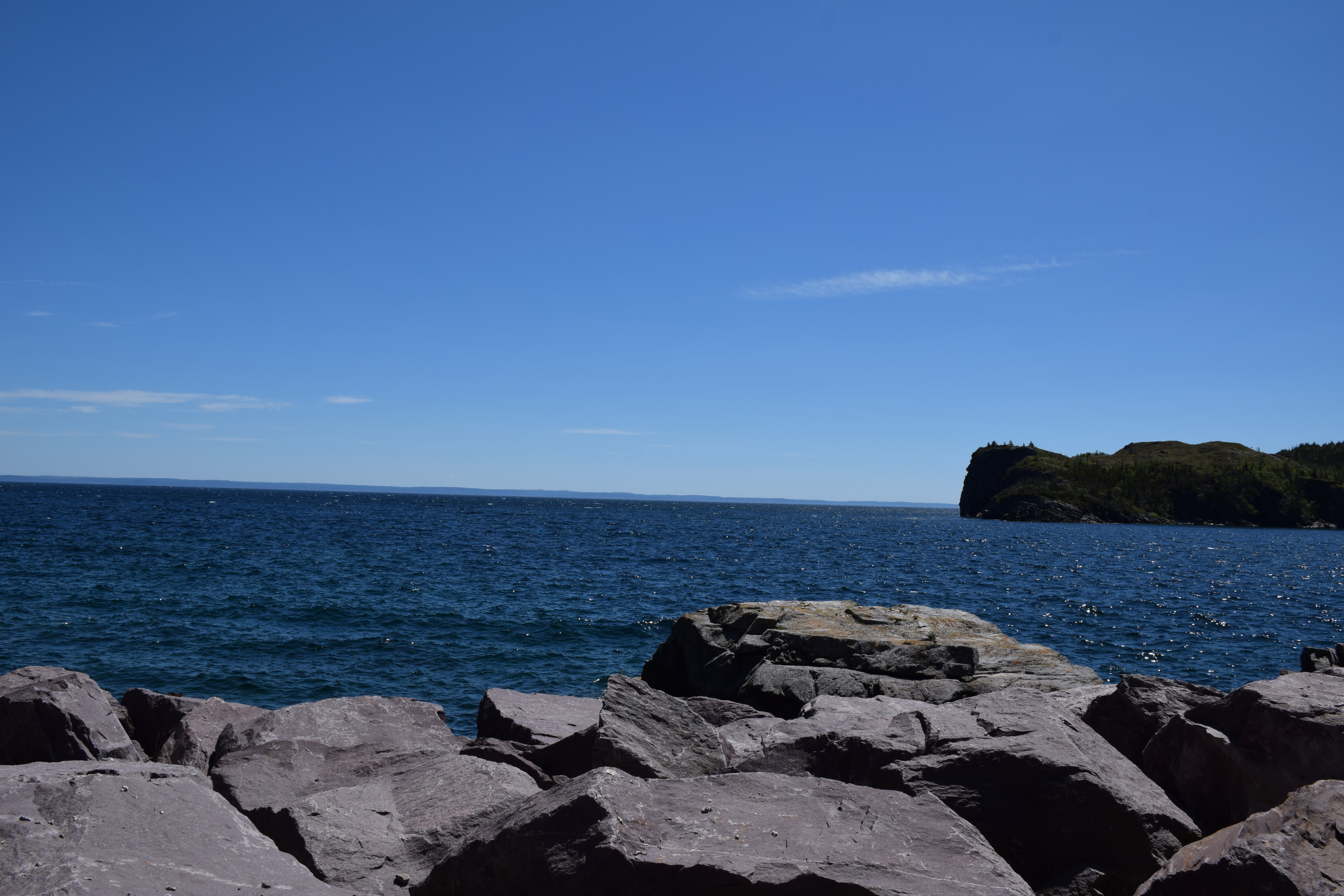
View from the cabin on Random Island.
Southport, Trinity Bay

From Random Island, NL

Old Fence & Irises
Southport, Trinity Bay

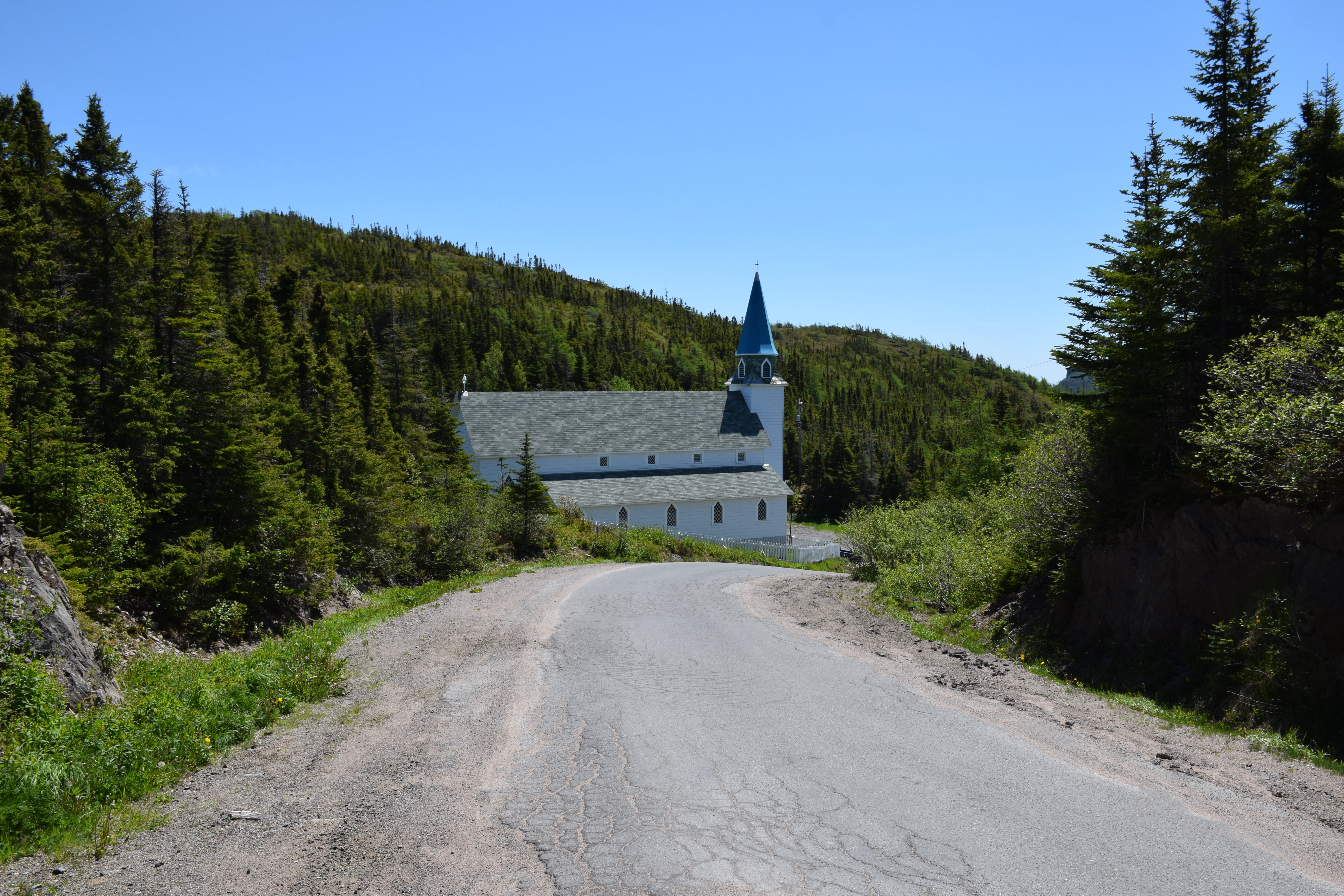
Fishing Stage

Old Fence
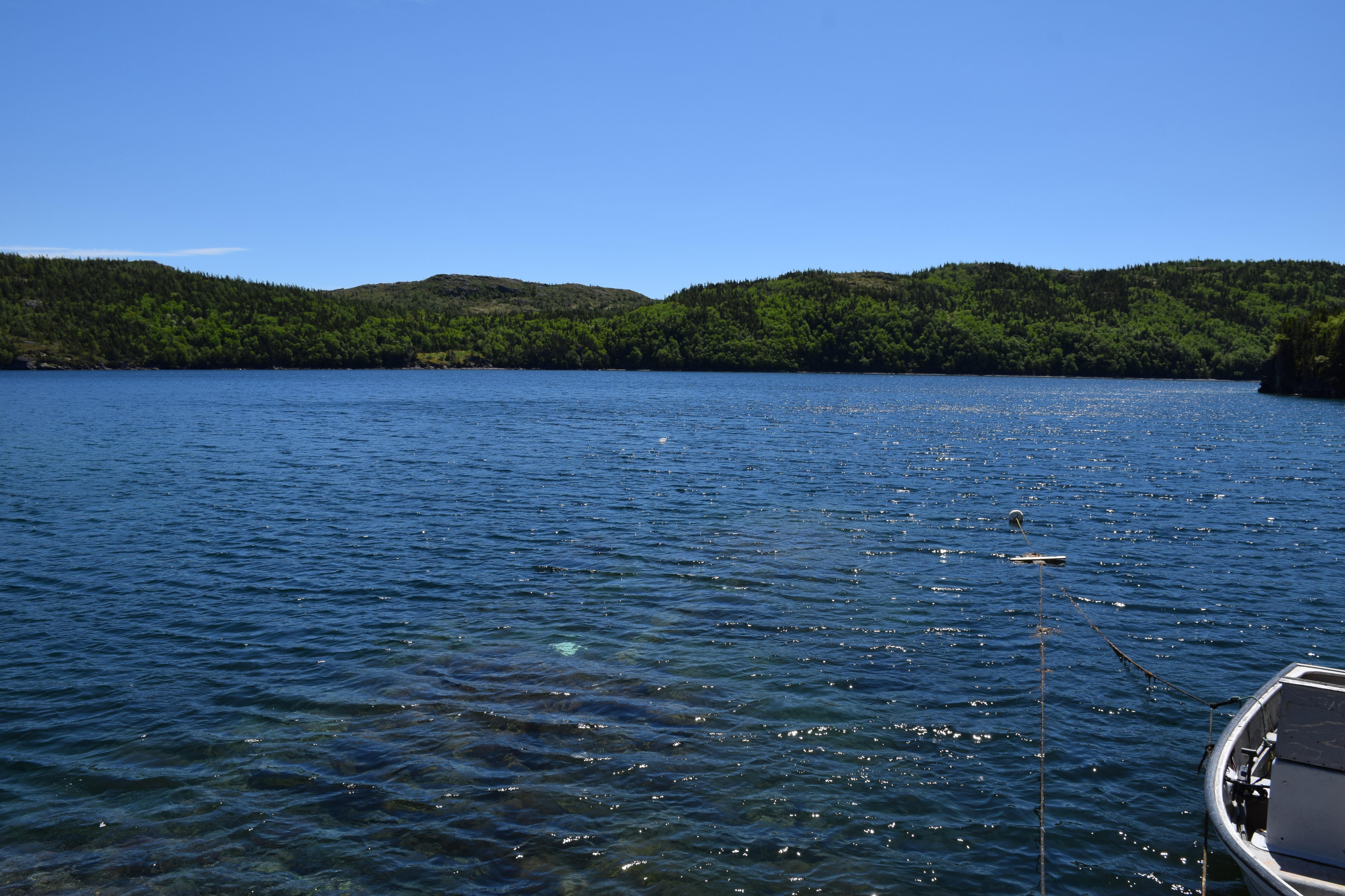
Gooseberry Cove Newfoundland
Gooseberry Cove Newfoundland

Ganny Cove
St Albans Hodges Newfoundland
Ganny Cove
Topographic Map of Main Rd, Burgoyne's Cove, NL A0C 1G0, Canada
Find elevation by address:

Places near Main Rd, Burgoyne's Cove, NL A0C 1G0, Canada:
Random Island Rd, Burgoyne's Cove, NL A0C 1G0, Canada
Burgoyne's Cove
Hickman's Harbour
Division No. 7, Subd. L
NL-, Hodge's Cove, NL A0E 2B0, Canada
Main Rd, Charleston, NL A0C 1K0, Canada
Division No. 7, Subd. K
Division No. 7, Subd. M
Division No. 7, Subd. M
Division No. 7, Subd. M
Division No. 7, Subd. M
Division No. 7, Subd. M
Division No. 7, Subd. M
Division No. 7, Subd. M
Division No. 7, Subd. M
Division No. 7, Subd. M
Division No. 7, Subd. M
Division No. 7, Subd. M
Clarenville
58 Main Rd, Lethbridge, NL A0C 1V0, Canada
Recent Searches:
- Elevation of Corso Fratelli Cairoli, 35, Macerata MC, Italy
- Elevation of Tallevast Rd, Sarasota, FL, USA
- Elevation of 4th St E, Sonoma, CA, USA
- Elevation of Black Hollow Rd, Pennsdale, PA, USA
- Elevation of Oakland Ave, Williamsport, PA, USA
- Elevation of Pedrógão Grande, Portugal
- Elevation of Klee Dr, Martinsburg, WV, USA
- Elevation of Via Roma, Pieranica CR, Italy
- Elevation of Tavkvetili Mountain, Georgia
- Elevation of Hartfords Bluff Cir, Mt Pleasant, SC, USA