Elevation of Division No. 7, Subd. K, NL, Canada
Location: Canada > Newfoundland And Labrador > Division No. 7 >
Longitude: -53.638105
Latitude: 48.2600529
Elevation: 111m / 364feet
Barometric Pressure: 100KPa
Elevation Map:
Satellite Map:
Related Photos:
DSC_3022 [640x480]
DSC_3162 [640x480]
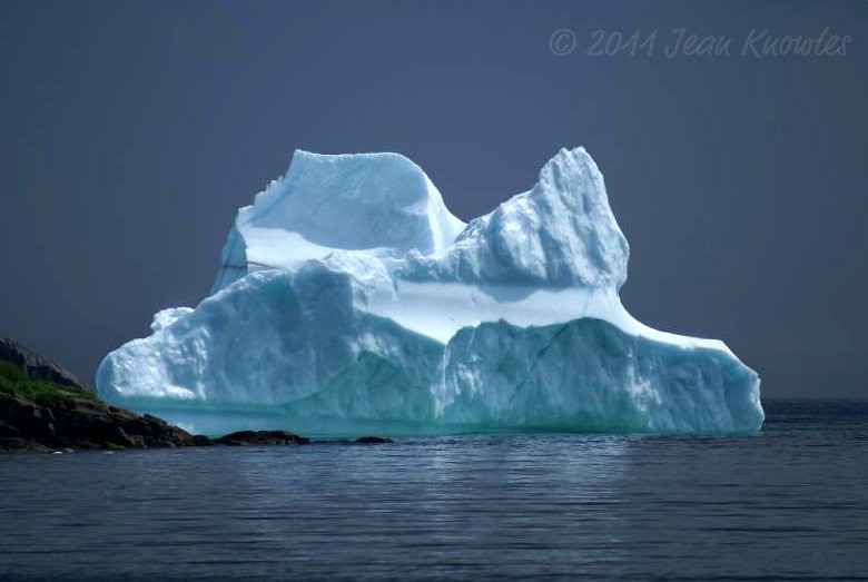
A gift from Greenland
Rattling Brook
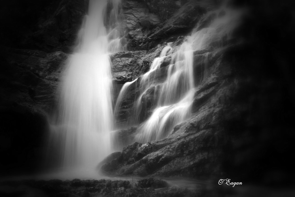
Rattle Falls

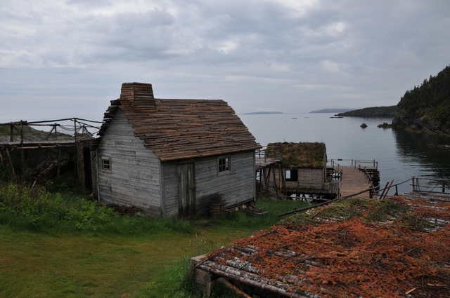
Fishing Stage

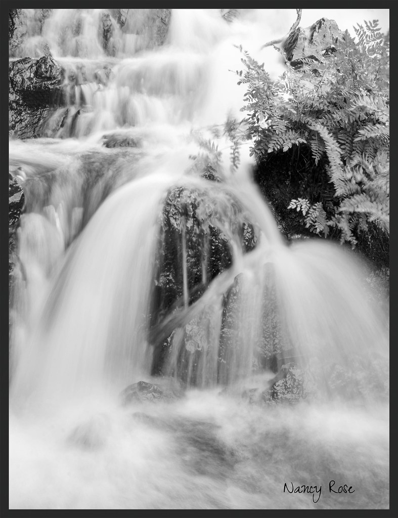
Rattling Brook Falls
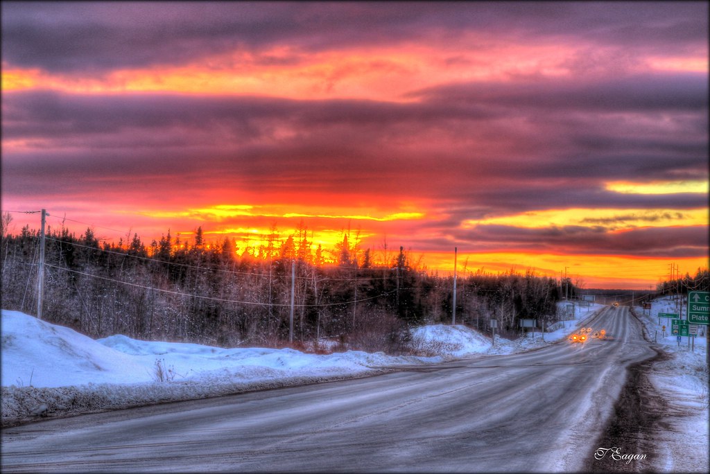
Midway Sunset
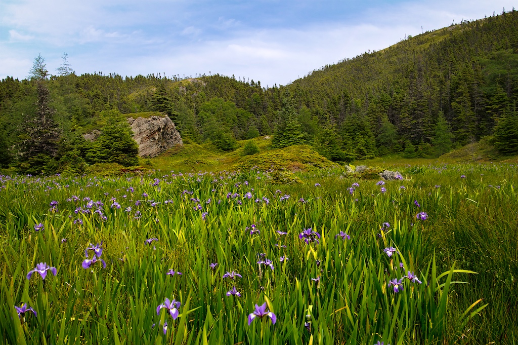
Field of irises
DSC_3013 [640x480]

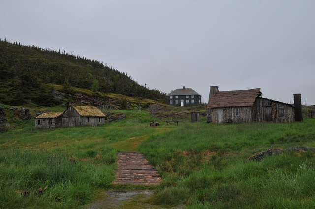
Old Bonaventure

Random Passage film set
Topographic Map of Division No. 7, Subd. K, NL, Canada
Find elevation by address:

Places in Division No. 7, Subd. K, NL, Canada:
Places near Division No. 7, Subd. K, NL, Canada:
Burgoyne's Cove
Division No. 7, Subd. L
Main Rd, Burgoyne's Cove, NL A0C 1G0, Canada
Random Island Rd, Burgoyne's Cove, NL A0C 1G0, Canada
Hickman's Harbour
Main Rd, Charleston, NL A0C 1K0, Canada
NL-, Hodge's Cove, NL A0E 2B0, Canada
Lethbridge
Portland
Division No. 7, Subd. M
Division No. 7, Subd. M
Division No. 7, Subd. M
Division No. 7, Subd. M
Division No. 7, Subd. M
Division No. 7, Subd. M
Division No. 7, Subd. M
Division No. 7, Subd. M
Division No. 7, Subd. M
Division No. 7, Subd. M
Division No. 7, Subd. M
Recent Searches:
- Elevation of Corso Fratelli Cairoli, 35, Macerata MC, Italy
- Elevation of Tallevast Rd, Sarasota, FL, USA
- Elevation of 4th St E, Sonoma, CA, USA
- Elevation of Black Hollow Rd, Pennsdale, PA, USA
- Elevation of Oakland Ave, Williamsport, PA, USA
- Elevation of Pedrógão Grande, Portugal
- Elevation of Klee Dr, Martinsburg, WV, USA
- Elevation of Via Roma, Pieranica CR, Italy
- Elevation of Tavkvetili Mountain, Georgia
- Elevation of Hartfords Bluff Cir, Mt Pleasant, SC, USA