Elevation of Main Ave W, Hoffman, MN, USA
Location: United States > Minnesota > Grant County >
Longitude: -95.791823
Latitude: 45.8297911
Elevation: 379m / 1243feet
Barometric Pressure: 97KPa
Elevation Map:
Satellite Map:
Related Photos:

ICE and Storm Light at Barrett

Soo Line on Both Ends

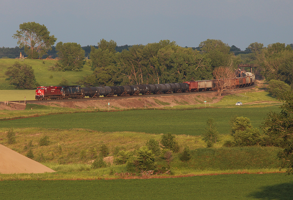
Headed for Glenwood

grumpy wheat
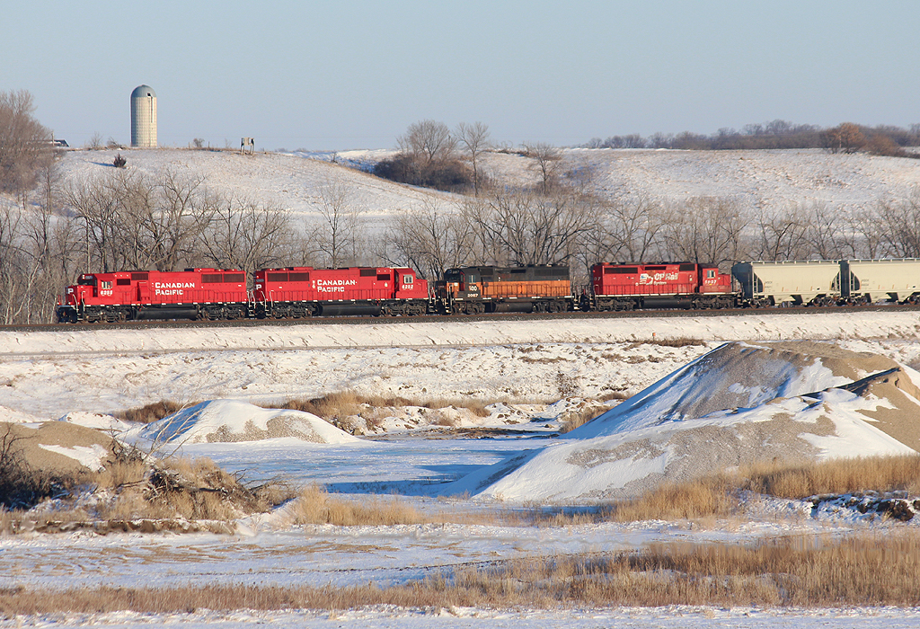
Lots of Red on the Prairie
Sweet Evening Light at Barrett

IMG_1228 (2)

headin out

center of attention
Big Power out of Barrett
Spring on the Prairie

Broken Clouds in Barrett
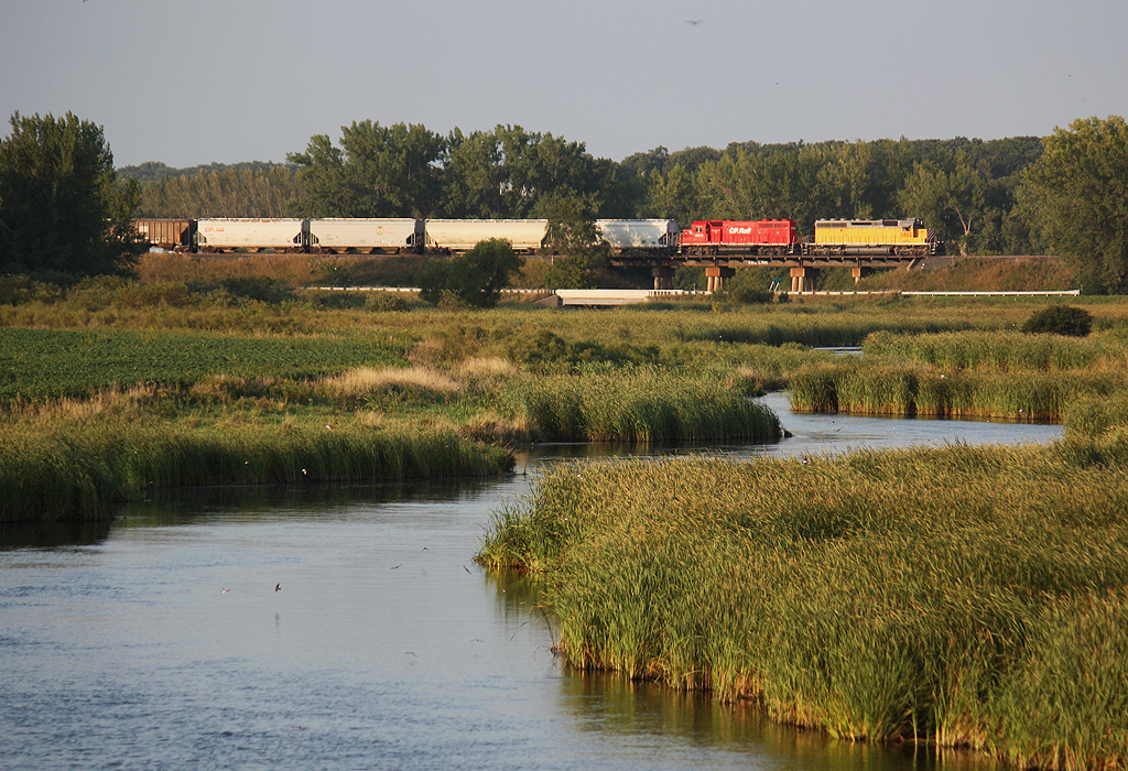
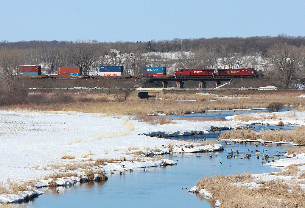
Crossing the Pomme de Terre

storm approaching
Topographic Map of Main Ave W, Hoffman, MN, USA
Find elevation by address:

Places near Main Ave W, Hoffman, MN, USA:
Sanford Township
33787 190th Ave
Elbow Lake
2nd St NE, Elbow Lake, MN, USA
Imperial Dr, Morris, MN, USA
Donnelly
University Of Minnesota, Morris
4th St, Donnelly, MN, USA
Morris
101 W 5th St
Grant County
6th St, Hancock, MN, USA
Stevens County
5th St E, Herman, MN, USA
Main St, Alberta, MN, USA
Alberta
Bullis St, Norcross, MN, USA
Tordenskjold Township
Norcross
34265 Mn-210
Recent Searches:
- Elevation of Corso Fratelli Cairoli, 35, Macerata MC, Italy
- Elevation of Tallevast Rd, Sarasota, FL, USA
- Elevation of 4th St E, Sonoma, CA, USA
- Elevation of Black Hollow Rd, Pennsdale, PA, USA
- Elevation of Oakland Ave, Williamsport, PA, USA
- Elevation of Pedrógão Grande, Portugal
- Elevation of Klee Dr, Martinsburg, WV, USA
- Elevation of Via Roma, Pieranica CR, Italy
- Elevation of Tavkvetili Mountain, Georgia
- Elevation of Hartfords Bluff Cir, Mt Pleasant, SC, USA