Elevation of Madison Township, OH, USA
Location: United States > Ohio > Hancock County >
Longitude: -83.656121
Latitude: 40.8450451
Elevation: 280m / 919feet
Barometric Pressure: 98KPa
Elevation Map:
Satellite Map:
Related Photos:

Ohio Farmlands

Forest, Ohio 45843 in 360 degrees

Lonely tree
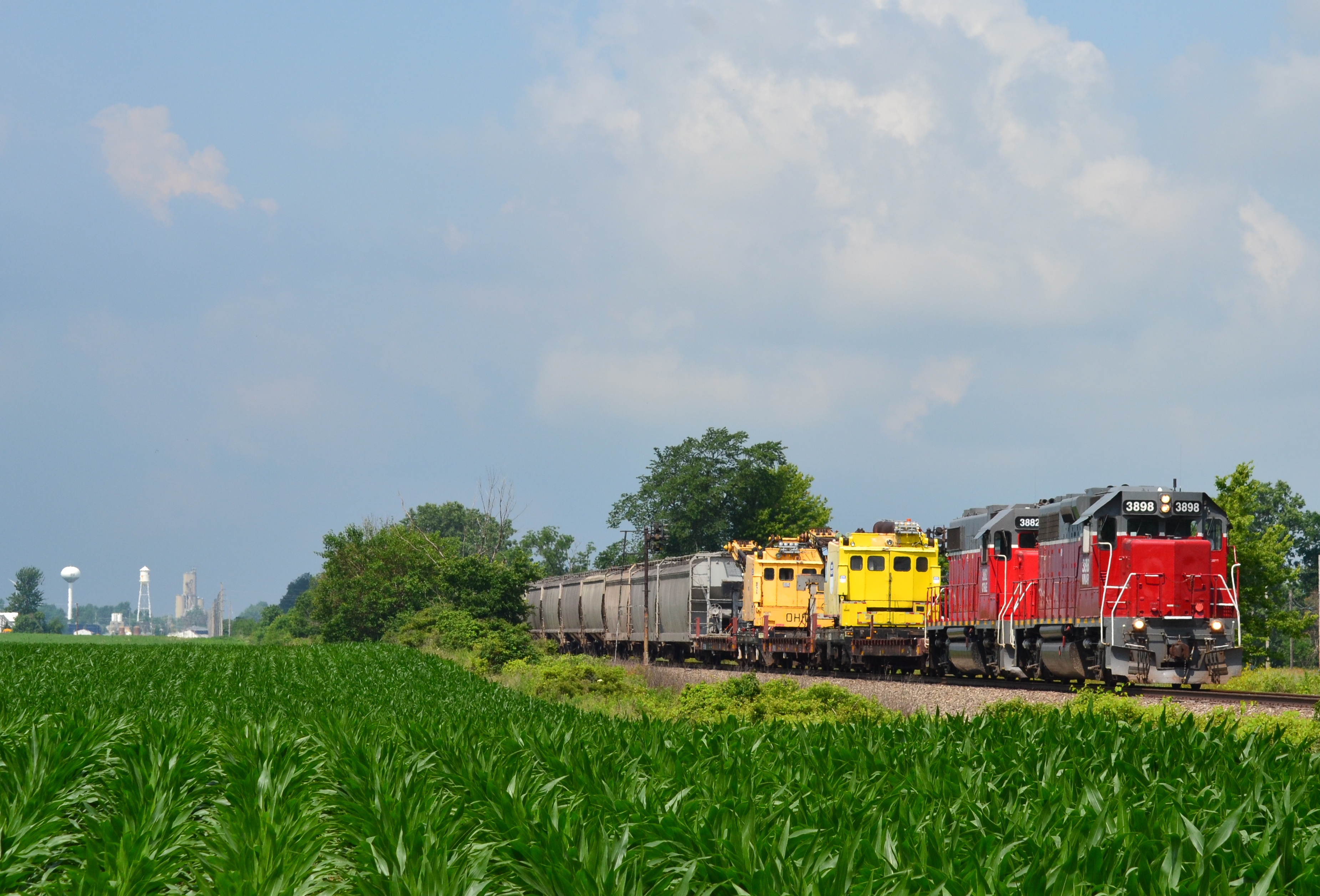
CF&E Railroad outside of Ada Ohio

Storm Clouds Over The Railroad Tracks

Wild Turkey [19/52]

Sunset Through the Woods [479/1000]

CSX Q219 - Hancock, OH

Near Dunkirk, Ohio

September Sunset in Rural Northwest, Ohio

Camp Berry - Session 1-6

Camp Berry - Session 2-8

Clearwater2012 003

Clearwater2012 004

Barn No More
Topographic Map of Madison Township, OH, USA
Find elevation by address:

Places in Madison Township, OH, USA:
Places near Madison Township, OH, USA:
County Road 31
23105 Co Rd 9
E Liberty St, Arlington, OH, USA
Arlington
Van Buren Township
Railroad St, Jenera, OH, USA
Jenera
Delaware Township
17020 Oh-37
Mount Blanchard
18750 Township Rd 59
20613 Oh-37
4600 Co Rd 1
Co Rd 12, Rawson, OH, USA
421 Kirk Dr
Forest
Orange Township
Amanda Township
1220 5th St
Hancock County
Recent Searches:
- Elevation of Corso Fratelli Cairoli, 35, Macerata MC, Italy
- Elevation of Tallevast Rd, Sarasota, FL, USA
- Elevation of 4th St E, Sonoma, CA, USA
- Elevation of Black Hollow Rd, Pennsdale, PA, USA
- Elevation of Oakland Ave, Williamsport, PA, USA
- Elevation of Pedrógão Grande, Portugal
- Elevation of Klee Dr, Martinsburg, WV, USA
- Elevation of Via Roma, Pieranica CR, Italy
- Elevation of Tavkvetili Mountain, Georgia
- Elevation of Hartfords Bluff Cir, Mt Pleasant, SC, USA