Elevation of Delaware Township, OH, USA
Location: United States > Ohio > Hancock County >
Longitude: -83.570964
Latitude: 40.8806223
Elevation: 254m / 833feet
Barometric Pressure: 98KPa
Elevation Map:
Satellite Map:
Related Photos:

The streets are happening

Ohio Bicentenial HDR

Ohio Farmlands
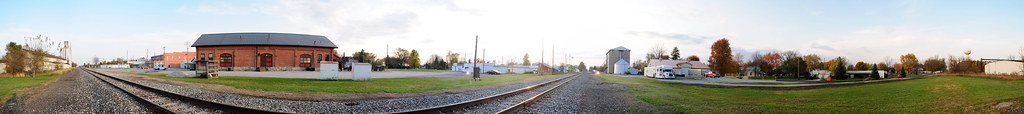
Forest, Ohio 45843 in 360 degrees

Lonely tree

Wild Turkey [19/52]

CSX Q219 - Hancock, OH

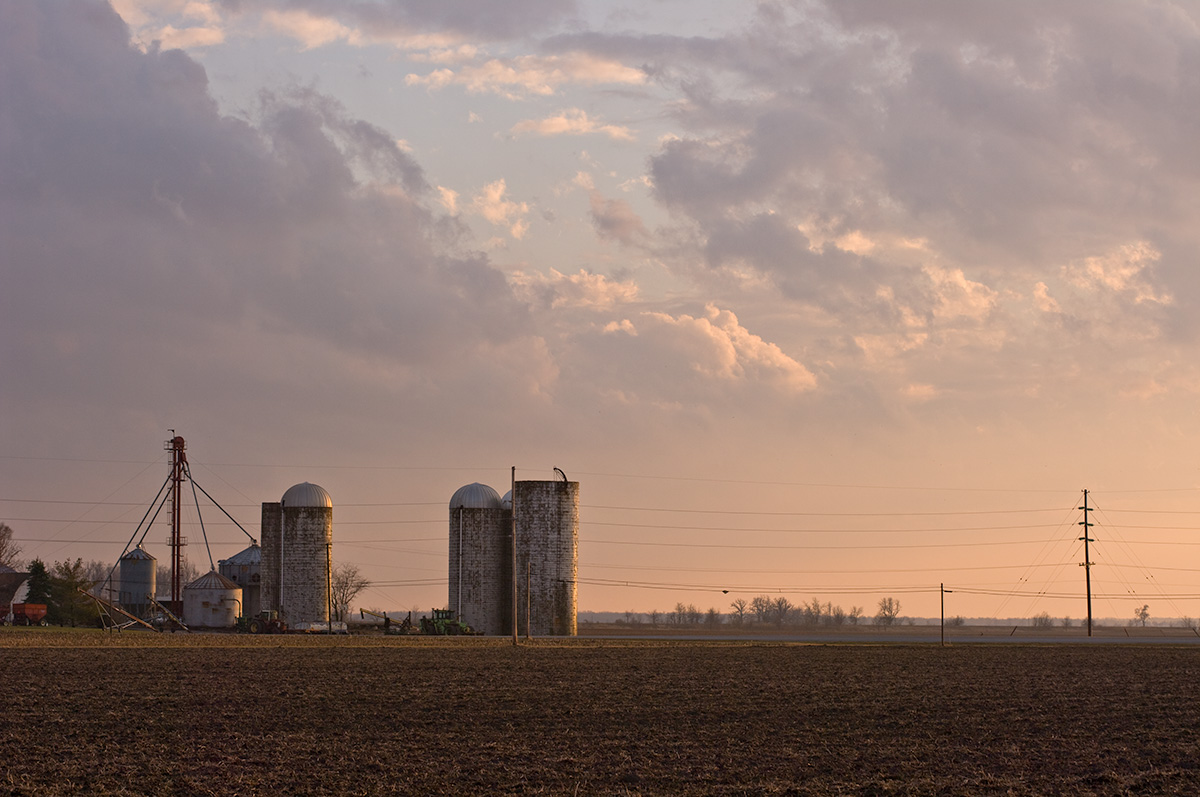
September Sunset in Rural Northwest, Ohio

Camp Berry - Session 1-6

Camp Berry - Session 2-8

Clearwater2012 004

Clearwater2012 003

Walk in the woods (3)

Walk in the woods (4)

First Presbyterian Church [95/365]

Flooded Woods [19/52]

Sunrise Findlay Ohio

Findlay Water Tower at Sunset
Near Dunkirk, Ohio
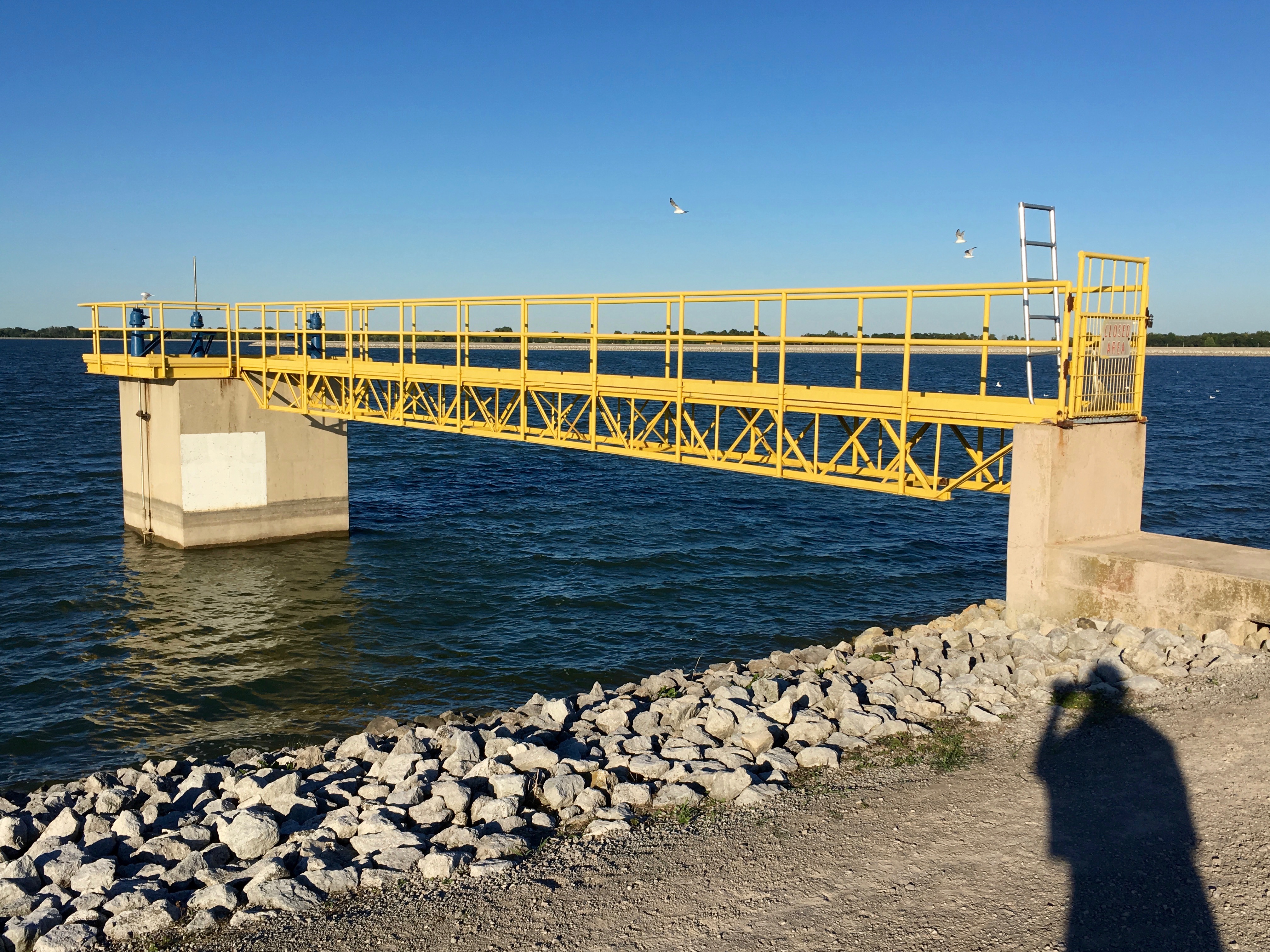
Shadow Photography No. 3 (Findlay, Ohio Reservoir)
Topographic Map of Delaware Township, OH, USA
Find elevation by address:

Places in Delaware Township, OH, USA:
Places near Delaware Township, OH, USA:
17020 Oh-37
Mount Blanchard
20613 Oh-37
Arlington
E Liberty St, Arlington, OH, USA
Amanda Township
Madison Township
Forest
County Road 31
Wharton
308 W North St
Vanlue
E Main St, Vanlue, OH, USA
23105 Co Rd 9
421 Kirk Dr
Riverbend Park
Marion Township
1220 5th St
Railroad St, Jenera, OH, USA
Jenera
Recent Searches:
- Elevation of Corso Fratelli Cairoli, 35, Macerata MC, Italy
- Elevation of Tallevast Rd, Sarasota, FL, USA
- Elevation of 4th St E, Sonoma, CA, USA
- Elevation of Black Hollow Rd, Pennsdale, PA, USA
- Elevation of Oakland Ave, Williamsport, PA, USA
- Elevation of Pedrógão Grande, Portugal
- Elevation of Klee Dr, Martinsburg, WV, USA
- Elevation of Via Roma, Pieranica CR, Italy
- Elevation of Tavkvetili Mountain, Georgia
- Elevation of Hartfords Bluff Cir, Mt Pleasant, SC, USA