Elevation of Madison Township, IN, USA
Location: United States > Indiana > Jay County >
Longitude: -84.835939
Latitude: 40.3366188
Elevation: 313m / 1027feet
Barometric Pressure: 98KPa
Elevation Map:
Satellite Map:
Related Photos:
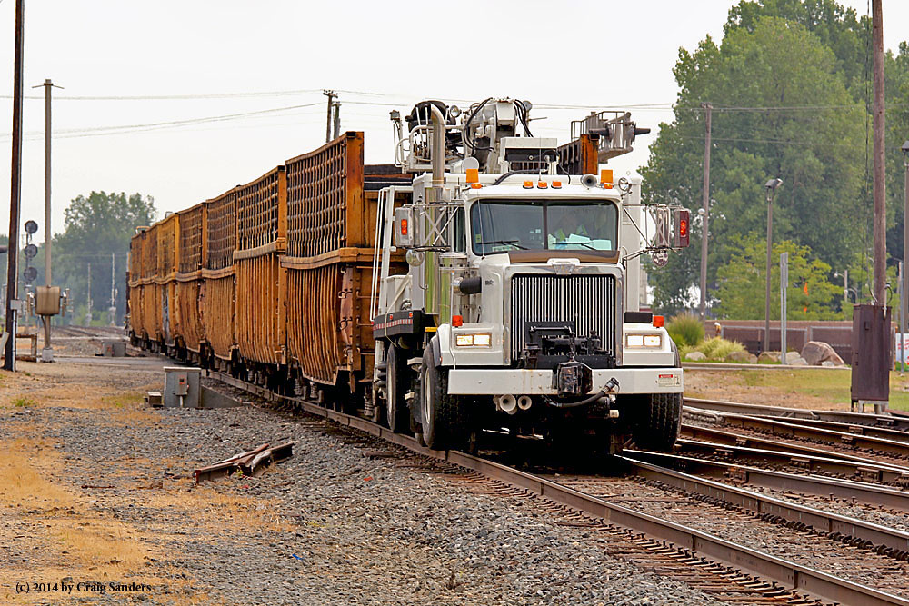
Where's the Locomotive?

Fire Flower

Bare Necessities

Rags to Riches

Radical Redneck

Bare Necessities

Ft Recovery Tractor Pull

Ft Recovery Tractor Pull

Renegade Deere

Renegade Deere

The Special

Pack Rat

Upn' Atom

View of the Encampment and Battle Ground on the 4th of November, 1791

Cornstalk Express

Rags To Riches
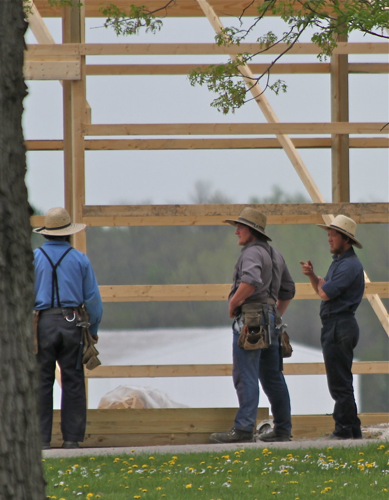
Amish Crew
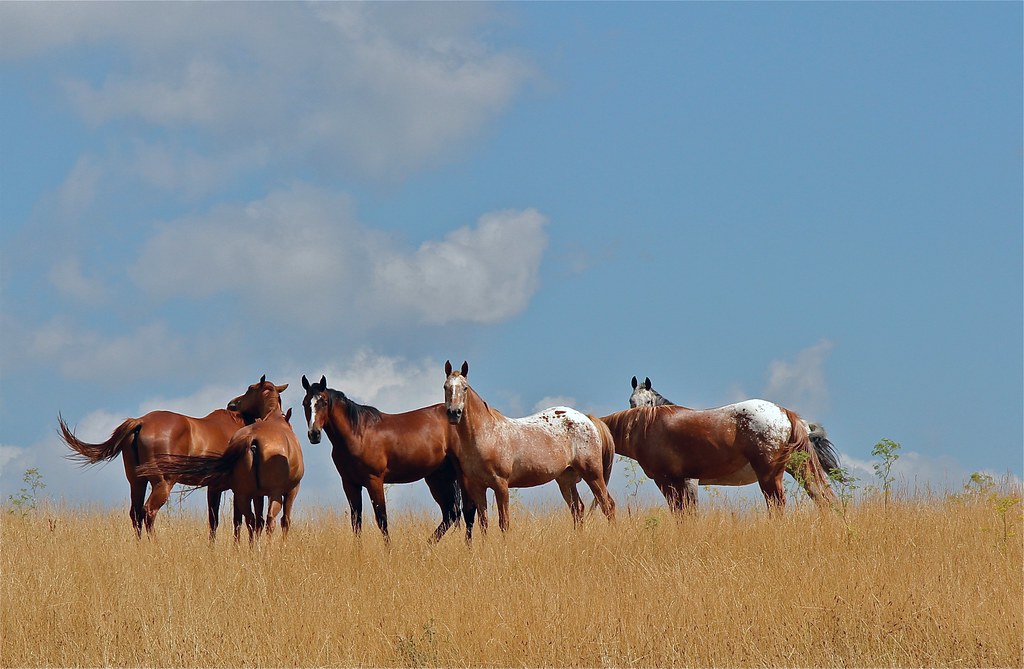
All the Pretty Little Horses
Topographic Map of Madison Township, IN, USA
Find elevation by address:

Places in Madison Township, IN, USA:
Places near Madison Township, IN, USA:
South Spooky Hollow Road
N 1st St, Union City, IN, USA
Jackson Township
Gibson Township
Fort Recovery
Noble Township
Sharpsburg
Sharpsburg Rd, Fort Recovery, OH, USA
E N, Portland, IN, USA
Union City
Union City
75a
Jackson Township
Wayne Township
9351 Ohio-indiana State Line Rd
Township Highway T-1092
N E, Union City, IN, USA
US-27, Portland, IN, USA
Fort Recovery-Minster Rd, St Henry, OH, USA
Wayne Township
Recent Searches:
- Elevation of Corso Fratelli Cairoli, 35, Macerata MC, Italy
- Elevation of Tallevast Rd, Sarasota, FL, USA
- Elevation of 4th St E, Sonoma, CA, USA
- Elevation of Black Hollow Rd, Pennsdale, PA, USA
- Elevation of Oakland Ave, Williamsport, PA, USA
- Elevation of Pedrógão Grande, Portugal
- Elevation of Klee Dr, Martinsburg, WV, USA
- Elevation of Via Roma, Pieranica CR, Italy
- Elevation of Tavkvetili Mountain, Georgia
- Elevation of Hartfords Bluff Cir, Mt Pleasant, SC, USA