| Latitude: | 39.7422561 |
|---|---|
| Longitude: | -92.4726859 |
| Elevation: | 267 meters / 876 feet |
| Barometric Pressure | 982KPa |
Related Photos

Crossroad Christmas Tree by Denzil D

Blossums by Denzil D

Big Red Barn by Denzil D

The Falling Barn by Denzil D

The Old Swimming Hole by Denzil D

House in the trees. by Denzil D

Winter Cemetery by Denzil D

Burlington Railroad by Denzil D

Mausoleum Entry to Oakwood Cemetery. by Denzil D

The Red Barn iin the Snow by Denzil D

My Distant Home by Denzil D

On the Move Again by Denzil D

The old Log Cabin by Denzil D

Lonely by Denzil D

The Old Red Barn by Denzil D

Old Glory by Denzil D
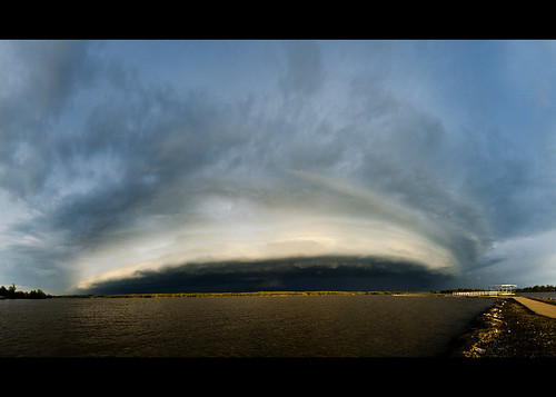
Long-Branch-Shelf by AaronHill | Photography

Log Round House by Denzil D

Front Yard Clematis by Denzil D

Local Episcopal Church. by Denzil D
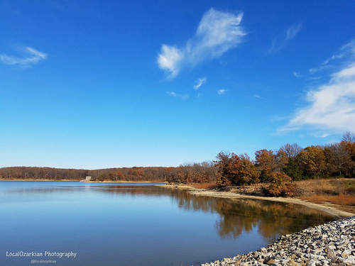
Long Branch State Park by LocalOzarkian Photography - Ozarks/ Route 66 Photo

I present to you a visual counterpart to the toponym "East Fork Little Chariton River." by Tim Kiser

D7K_1943 by AaronHill | Photography

From 1936, a building. by Tim Kiser

48295 by richiekennedy56

45296 by richiekennedy56

Here were Berkshire Hathaway railroad tracks, passing through northern Missouri in late March of '22. by Tim Kiser

Weird smalltown trees in the village of Callao, Missouri, at a wall of light gray metal. by Tim Kiser

For this one I looked diagonally across a roadside ditch, toward a spread of farmland. by Tim Kiser

Sunshine warms the opaque brown waters of the Middle Fork Salt River in Macon County, Missouri. by Tim Kiser

In northern Missouri WE RITUALLY BATHE OUR HEARTS AND BRAINS in the waters of the Middle Fork Little Chariton River. by Tim Kiser

Let spectacular views of the East Fork Little Chariton River be one of the things you remember most about Macon County, Missouri. by Tim Kiser

Let the Middle Fork Little Chariton River be your brown. by Tim Kiser

I have proposed that UNESCO's World Heritage Committee should designate rural Macon County, Missouri, as a cultural landscape of universal value to humankind. by Tim Kiser

Ah the Middle Fork Salt River in northern Missouri, a riverine expression of middles, forks, and salts. by Tim Kiser

Pass it on: For young people in northern Missouri, the "East Fork Little Chariton River Challenge" is the new Tide Pod Challenge. by Tim Kiser

Roadside guywire touchdown at cropland. by Tim Kiser

This was a view upon a gravel road in northern Missouri, late one Saturday morning in March of '22, during a mostly sunny condition. by Tim Kiser

Lil slice o' Callao. by Tim Kiser

"Sewer Creek," it's called. by Tim Kiser

NICE - NEC 1850 LCD Monitor with added Speaker Bar by jay_stonecipher