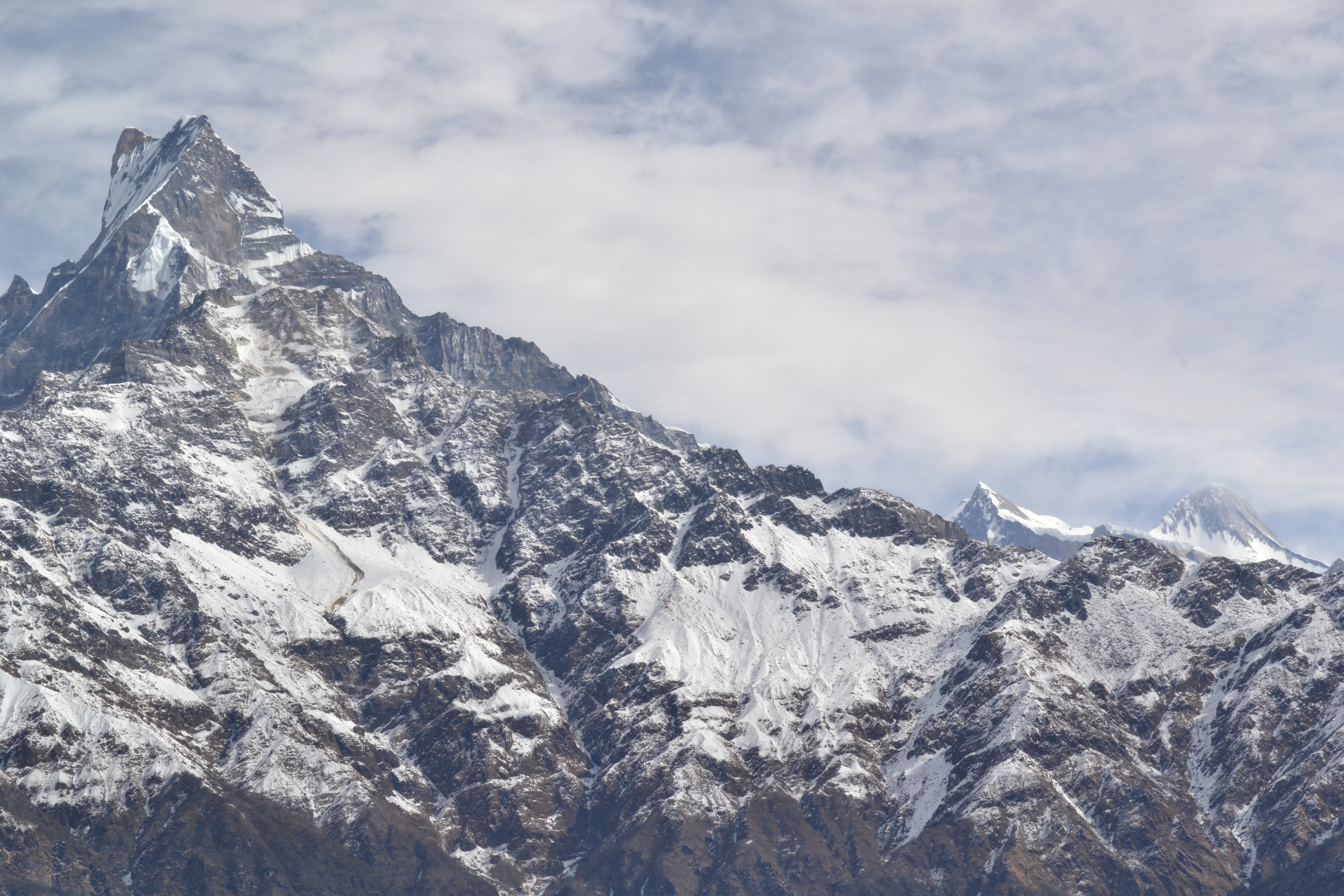
Elevation of Machhapuchhare, Machhapuchchhre, Nepal
Location: Nepal > Western Region > Gandaki > Machhapuchchhre >
Longitude: 83.9470482
Latitude: 28.504374
Elevation: 3554m / 11660feet
Barometric Pressure: 65KPa
Elevation Map:
Satellite Map:
Related Photos:
First Glimpse
Tea Fields
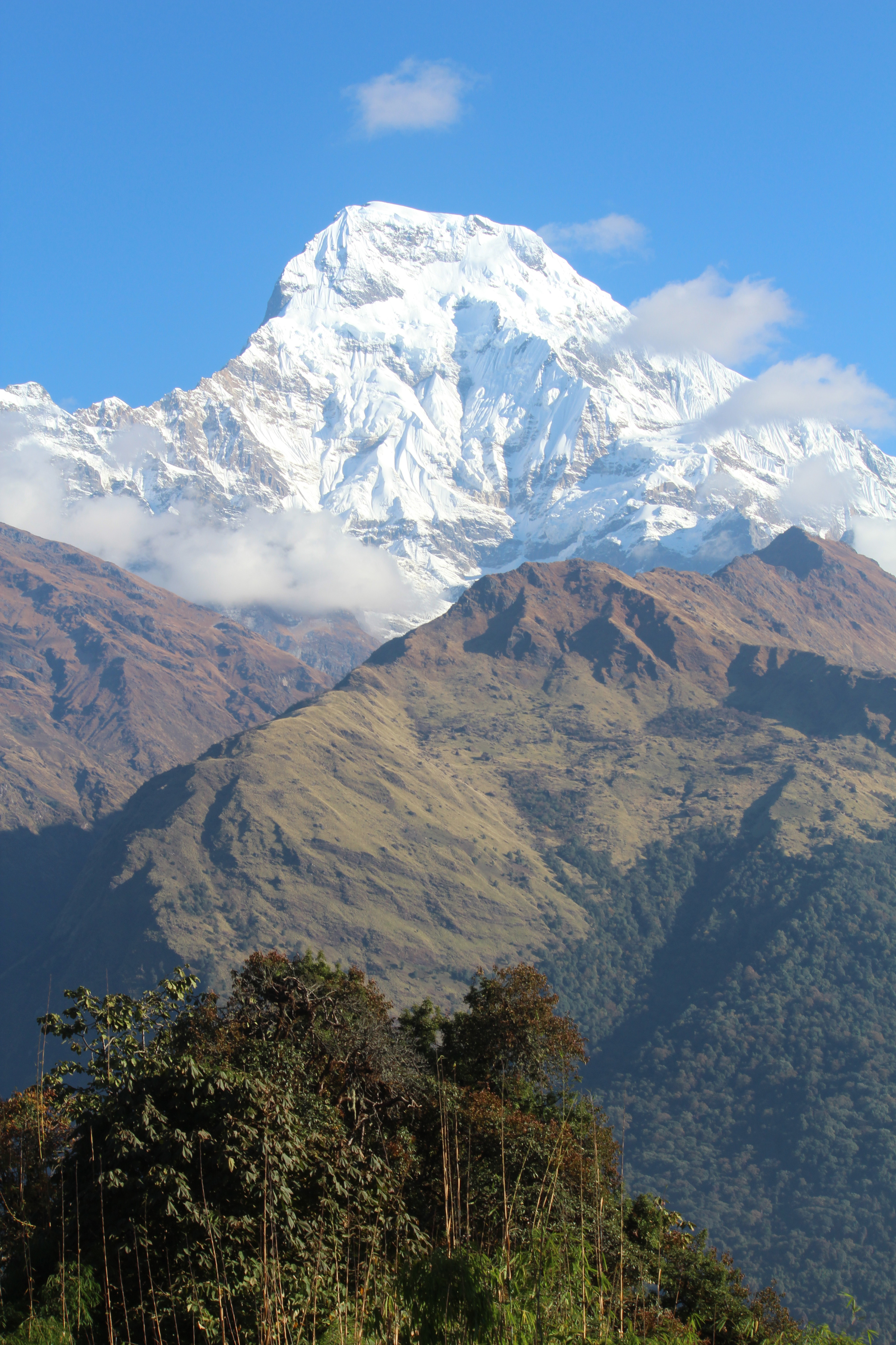
Annapurna South and Annapurna 1
what a view
Fresh Snow

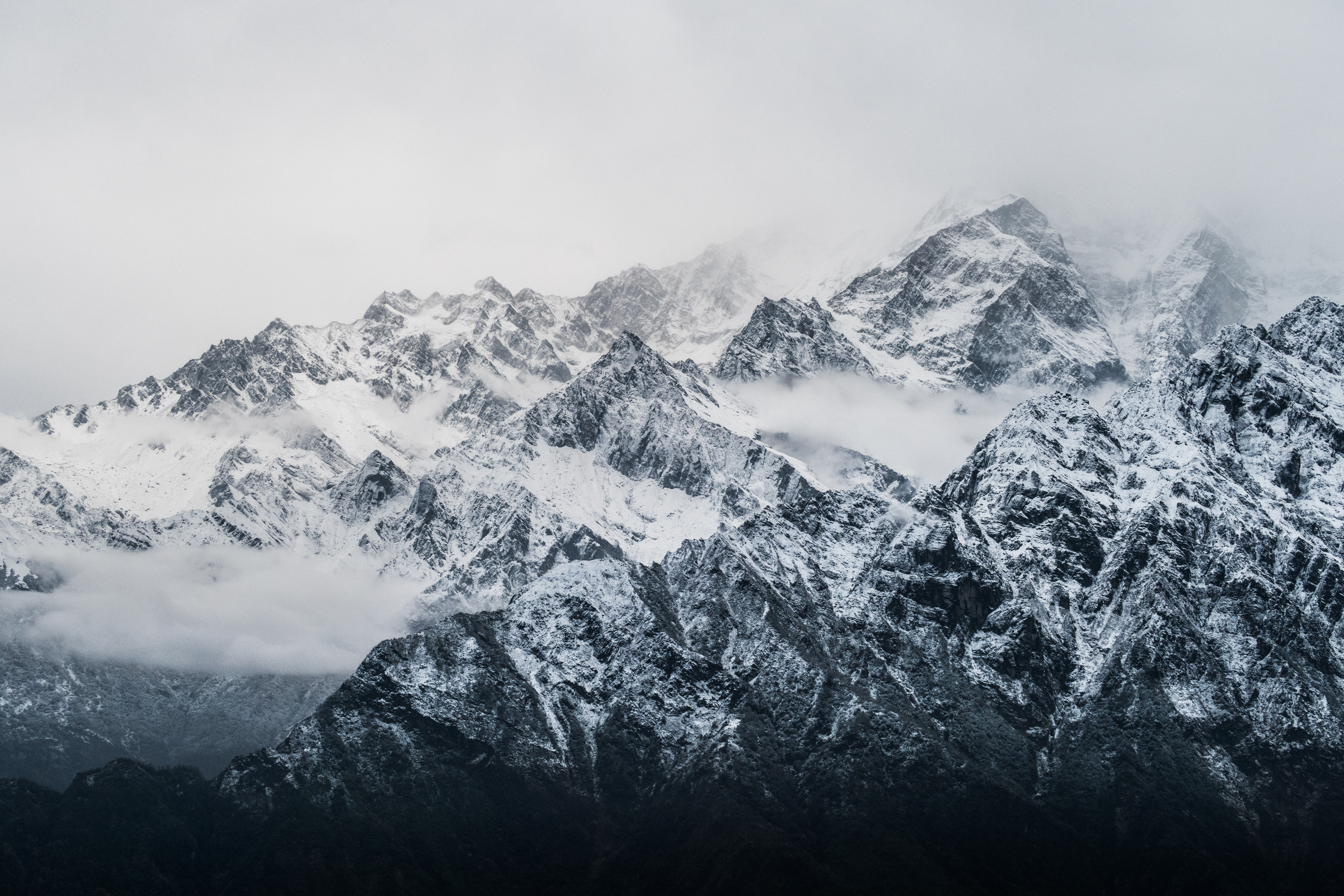
Amongst the Clouds
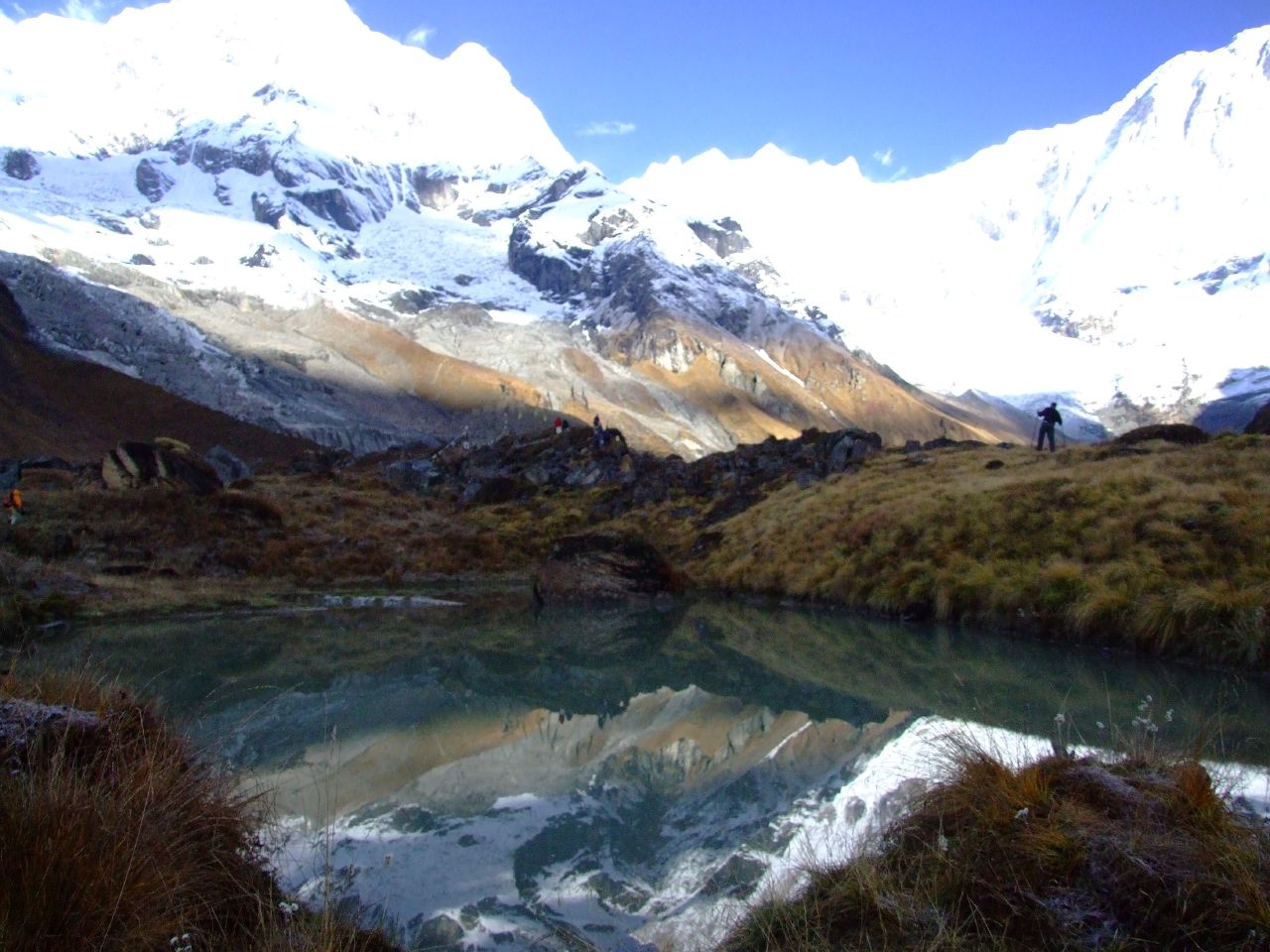
Annapurna Reflections
Annapurna South and Hiunchuli
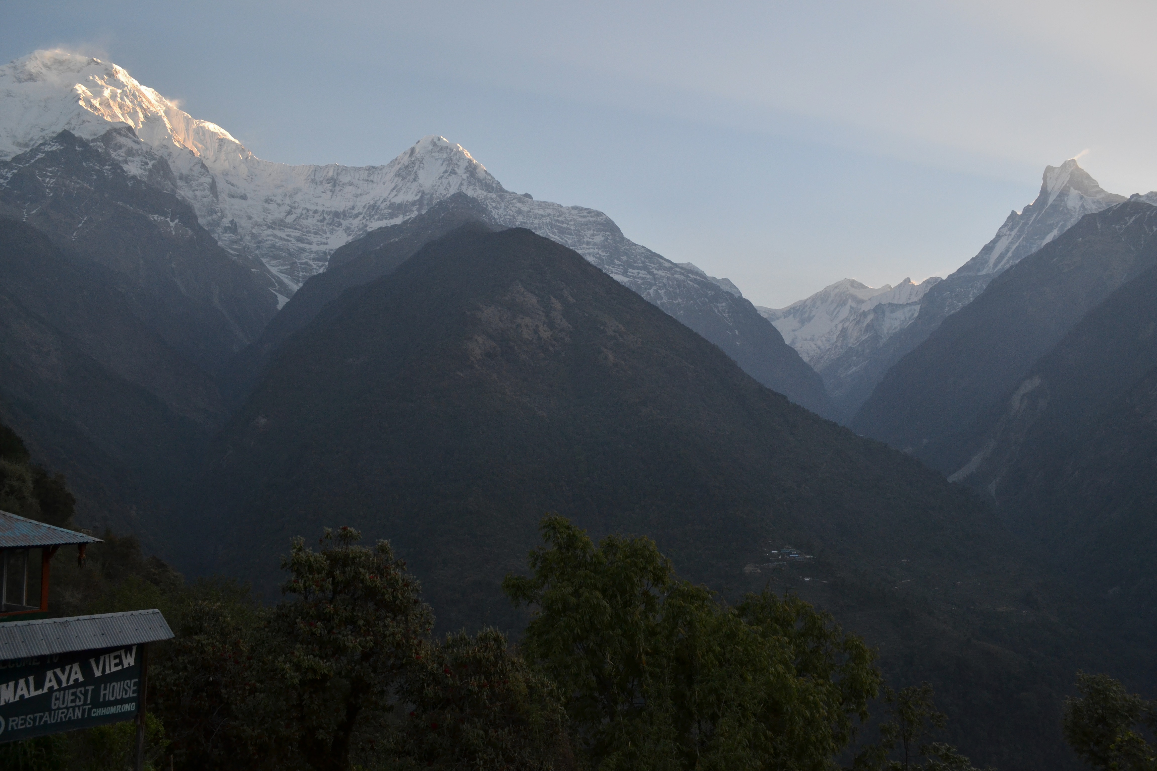
Annapurna South from upper Chhomrong
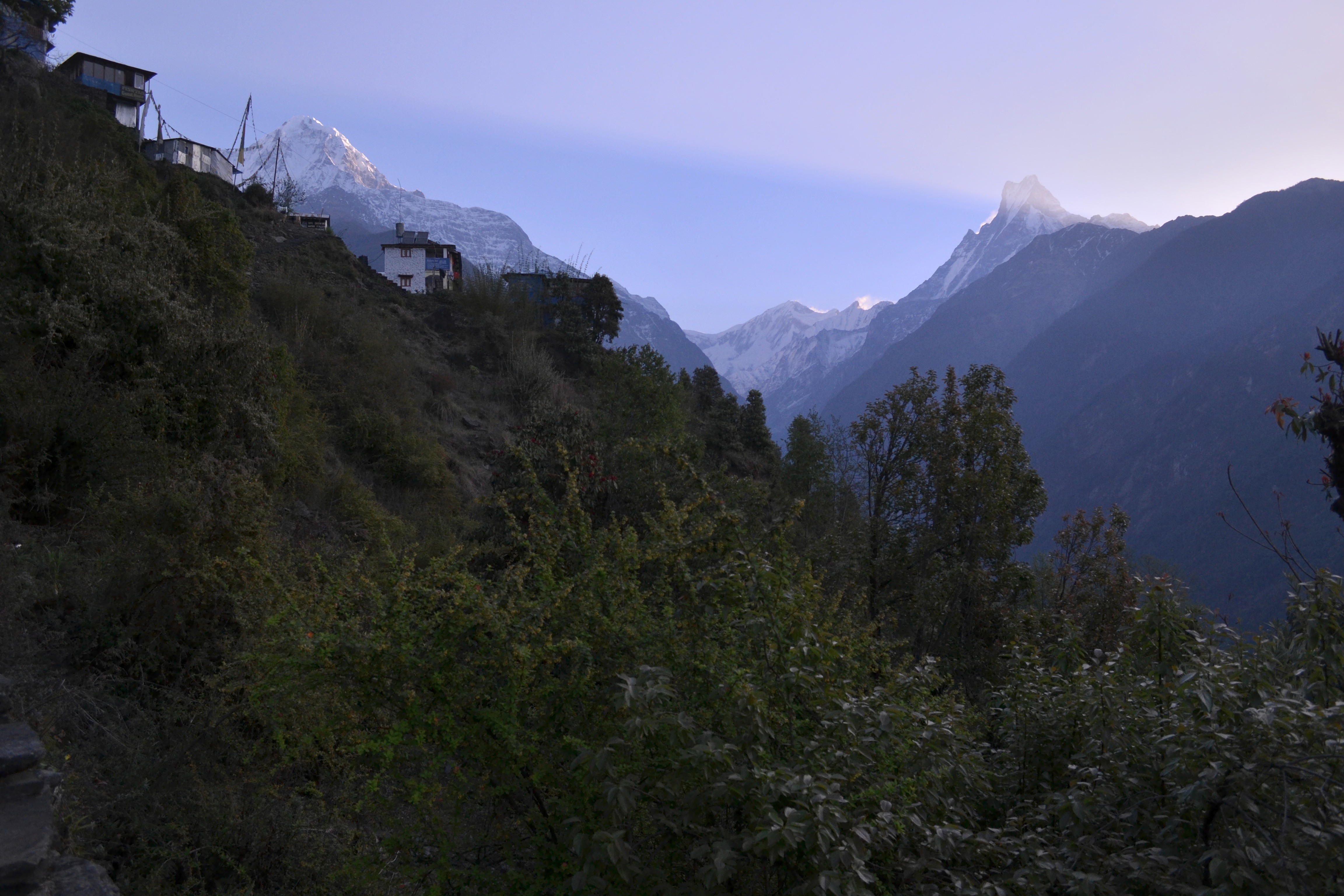
Annapurna Mountains
Annapurna South, Hiunchuli, Fishtail
Fishtail and Mardi Himal
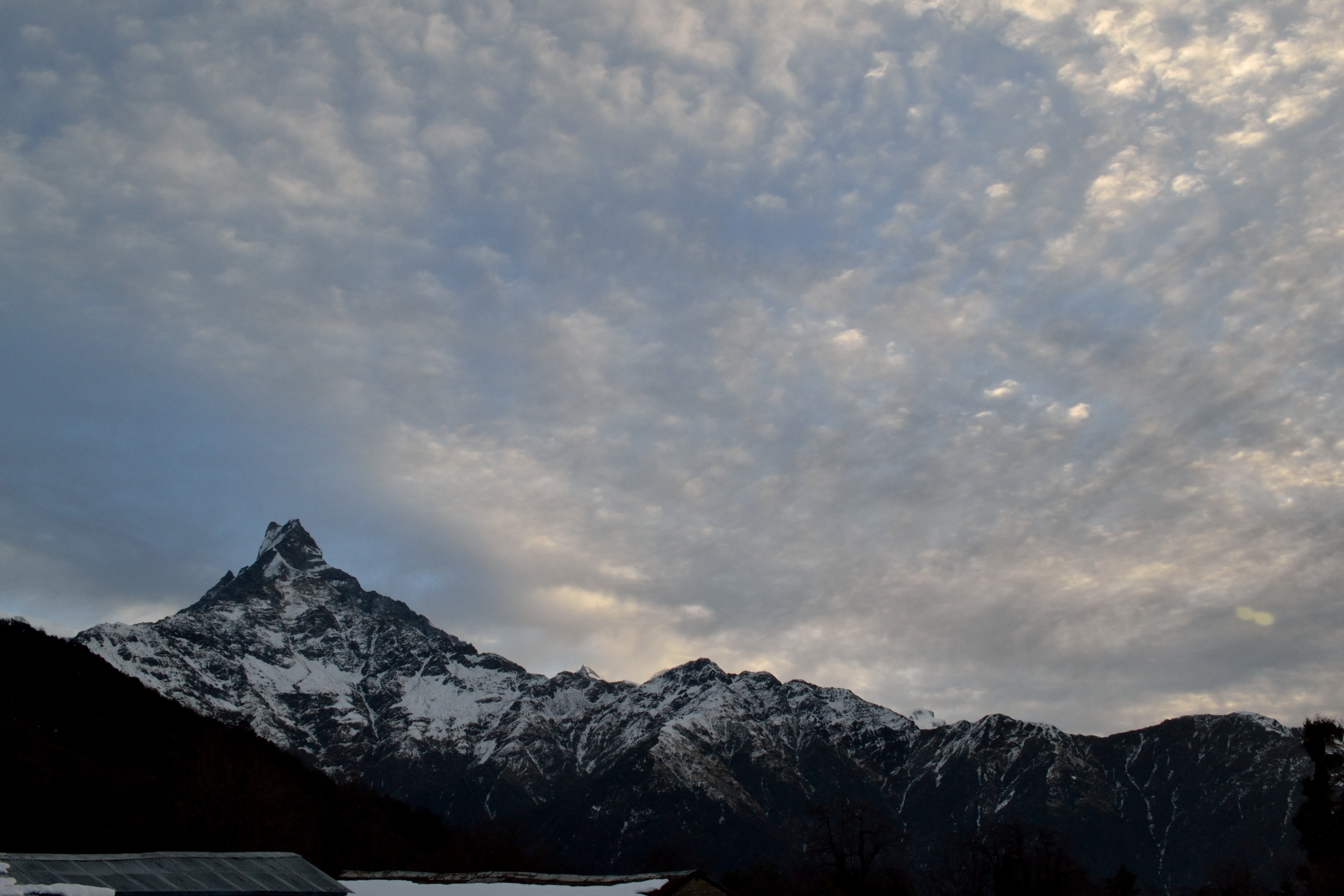
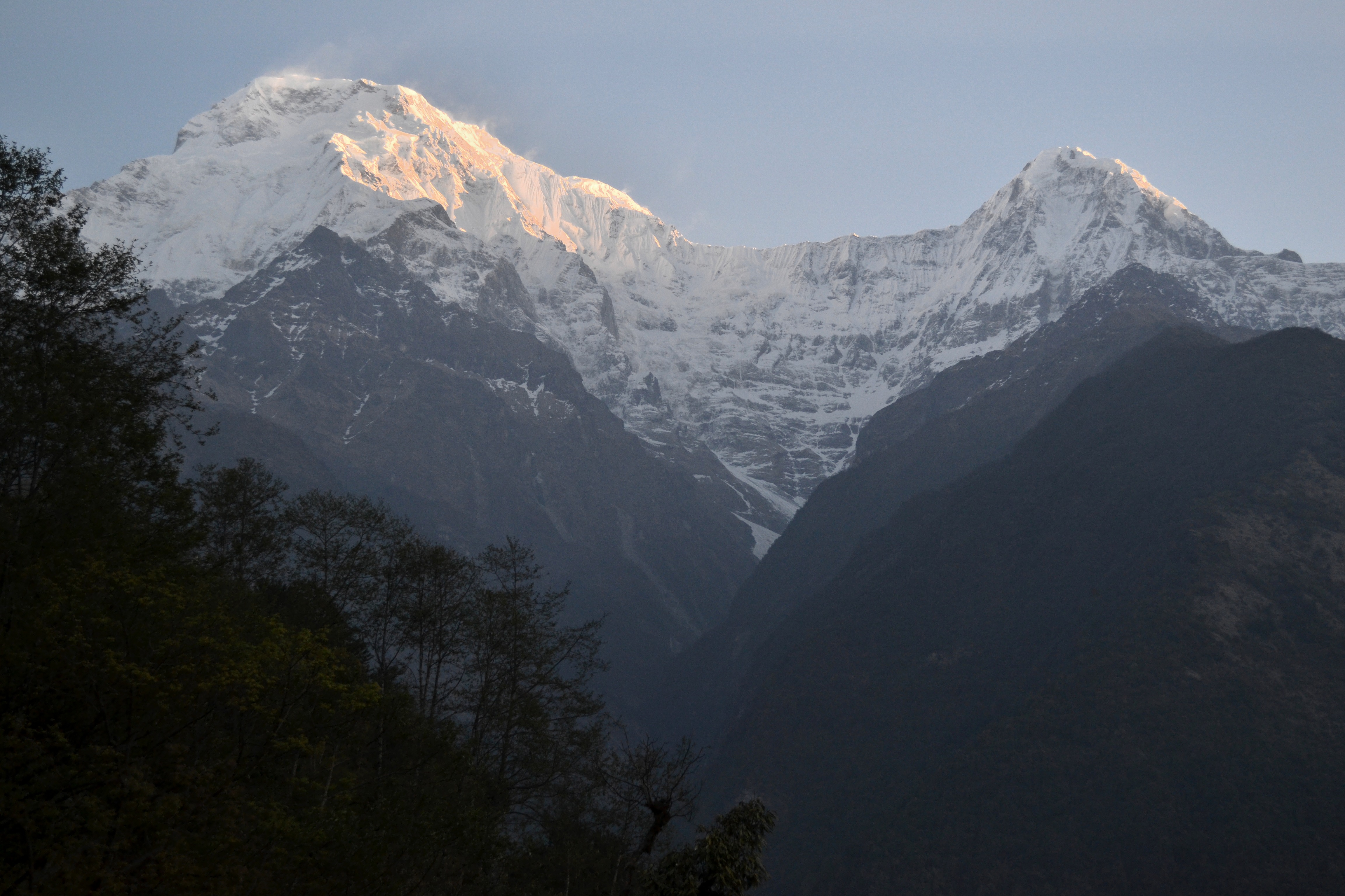
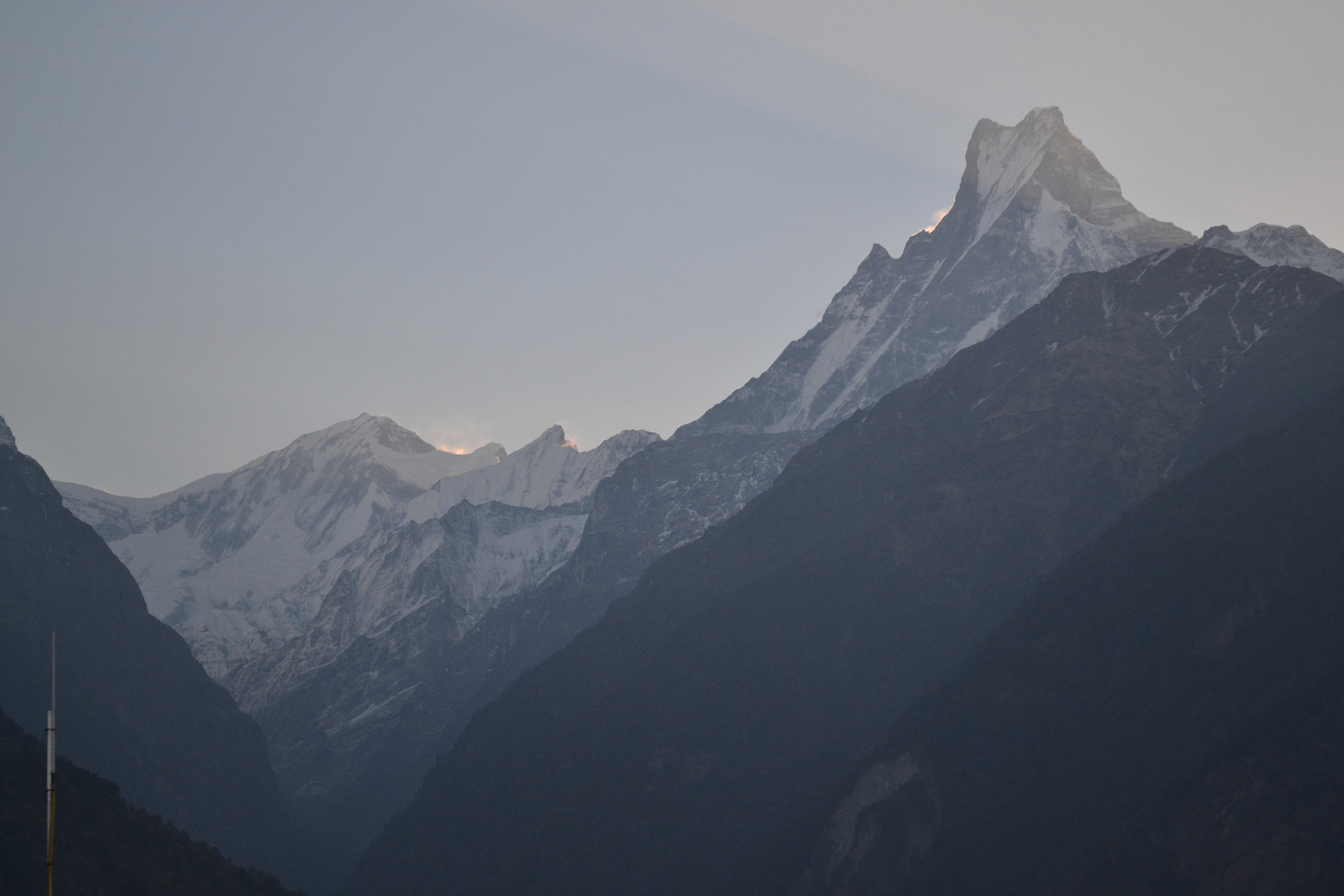
Sunrise alongside Fishtail
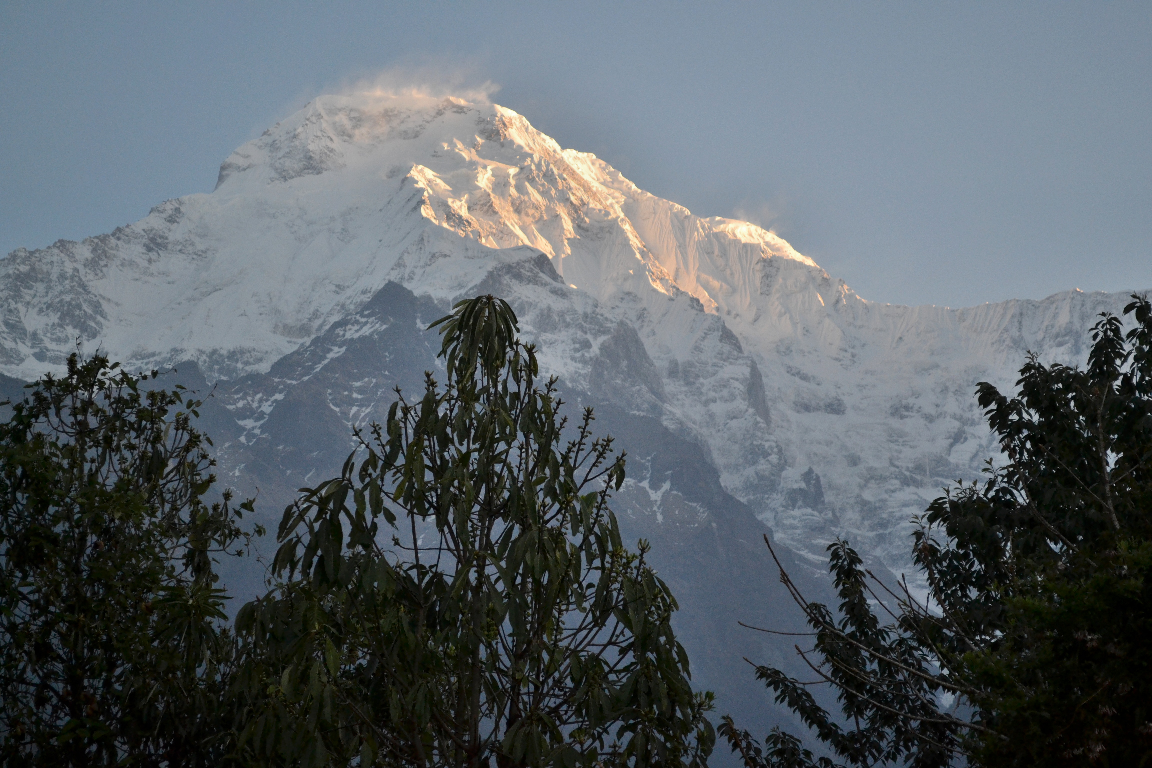
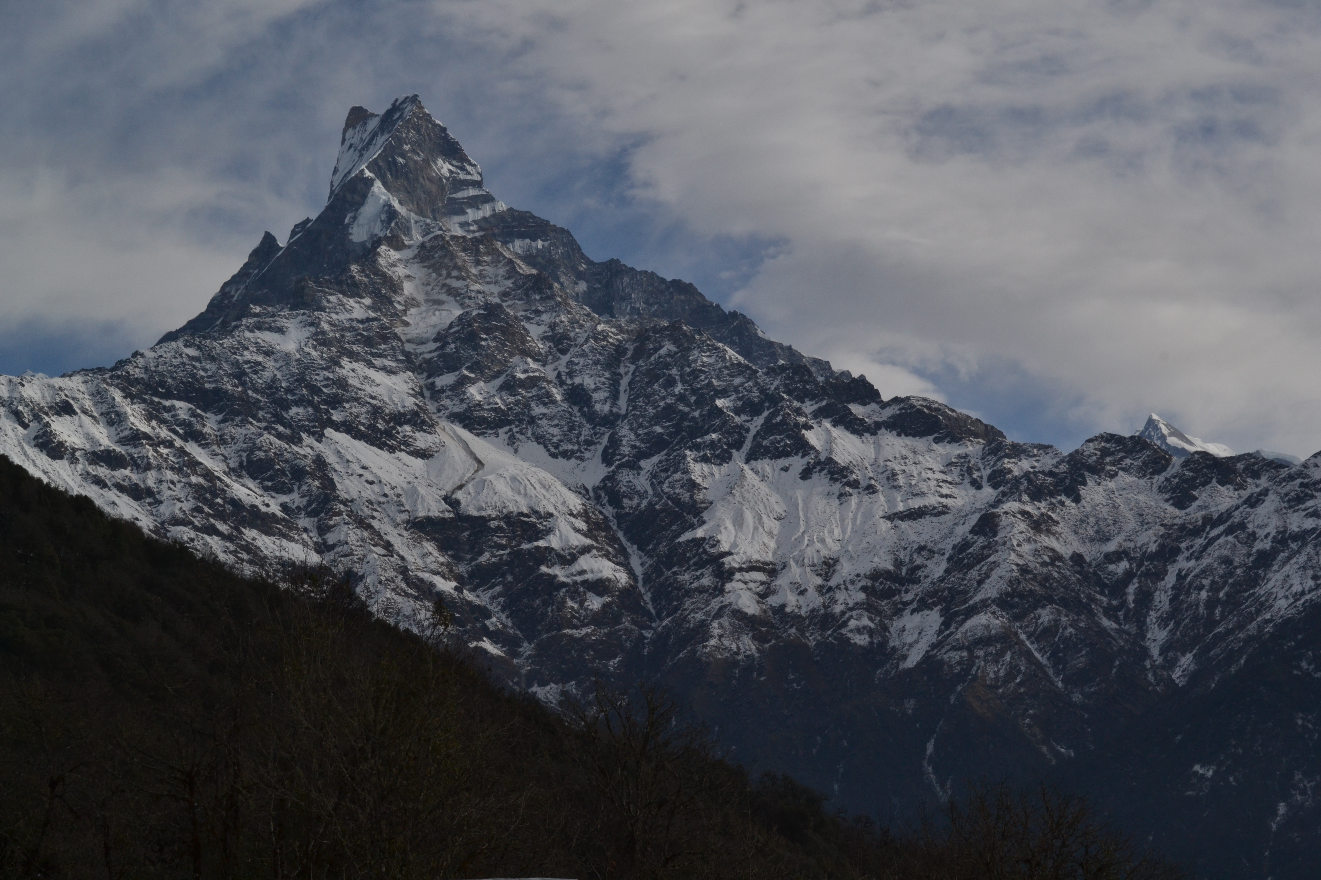
Fishtail from Chhomrong
Hiunchuli and Fishtail from lower Chhromrong
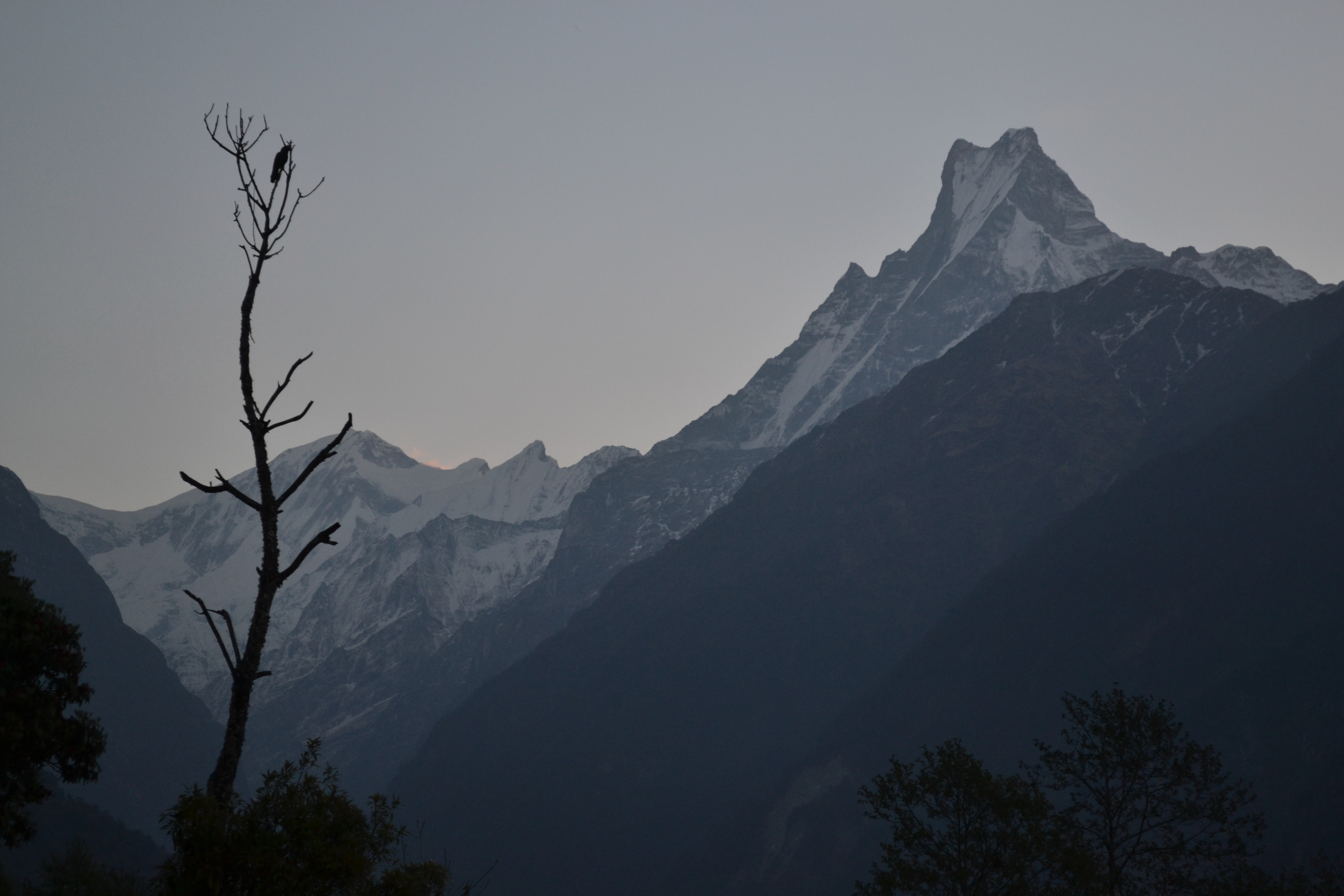
Fishtail from Chhomrong

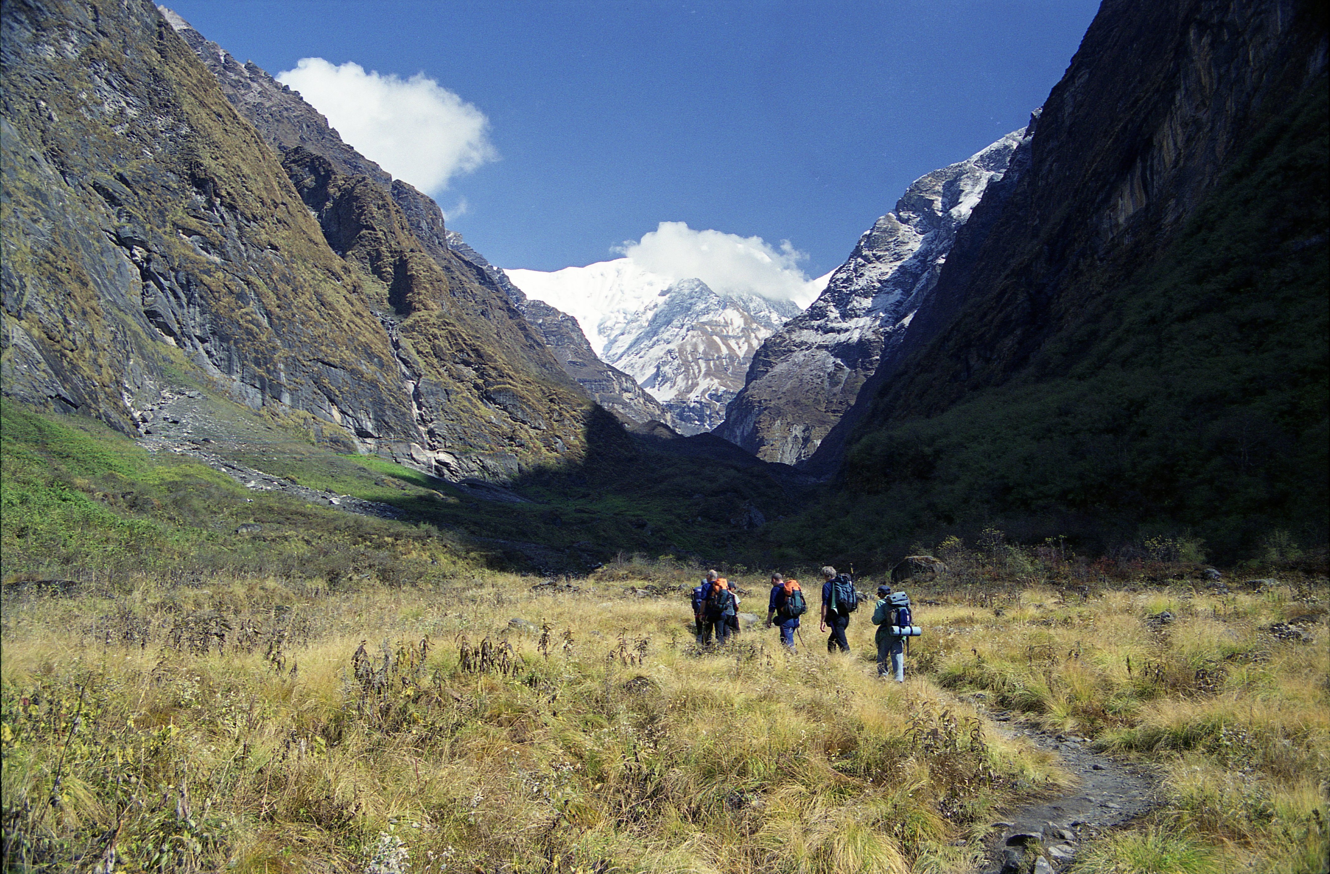
View up the Modi Khola valley

Back the way we came

ANNAPURNA BASE CAMP
Annapurna Sanctuary Trek Day 4 - Peak View Walking 2
Fishtail and (in front of it) Mardi Himal
Topographic Map of Machhapuchhare, Machhapuchchhre, Nepal
Find elevation by address:

Places near Machhapuchhare, Machhapuchchhre, Nepal:
Mardi Himal Base Camp
Machhapuchhre Base Camp
Deurali
Machhapuchchhre
Annapurna Sanctuary
Annapurna Base Camp
Annapurna Base Camp Trekking Route
Mardi Himal Base Camp
Lwang Ghalel
Kali Gandaki River
Annapurna Iii
Singu Chuli
Himalayas
Hiunchuli
Dovan
Bamboo Lodge Restaurant
Gangapurna
Nepal
Hotel Himalayan Majesty (badal Danda)
Ghandruk
Recent Searches:
- Elevation of Corso Fratelli Cairoli, 35, Macerata MC, Italy
- Elevation of Tallevast Rd, Sarasota, FL, USA
- Elevation of 4th St E, Sonoma, CA, USA
- Elevation of Black Hollow Rd, Pennsdale, PA, USA
- Elevation of Oakland Ave, Williamsport, PA, USA
- Elevation of Pedrógão Grande, Portugal
- Elevation of Klee Dr, Martinsburg, WV, USA
- Elevation of Via Roma, Pieranica CR, Italy
- Elevation of Tavkvetili Mountain, Georgia
- Elevation of Hartfords Bluff Cir, Mt Pleasant, SC, USA