Elevation map of Kali Gandaki River, Nepal
Location: Nepal > Western Region > Gandaki > Machhapuchchhre >
Longitude: 83.9299667
Latitude: 28.4169723
Elevation: 3529m / 11578feet
Barometric Pressure: 66KPa
Elevation Map:
Satellite Map:
Related Photos:

The real deal
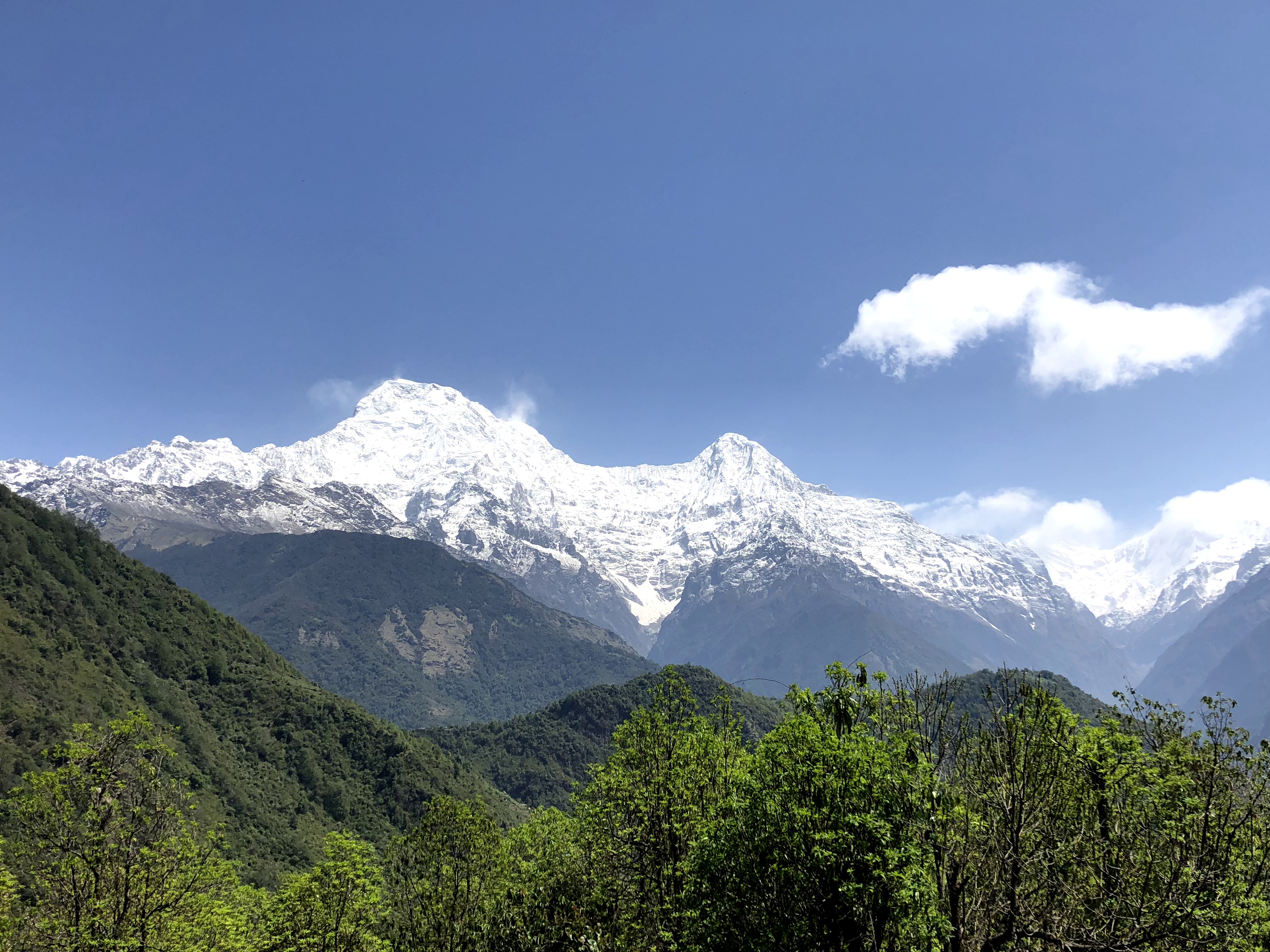
Annapurna Himalayan Range another view
what a view
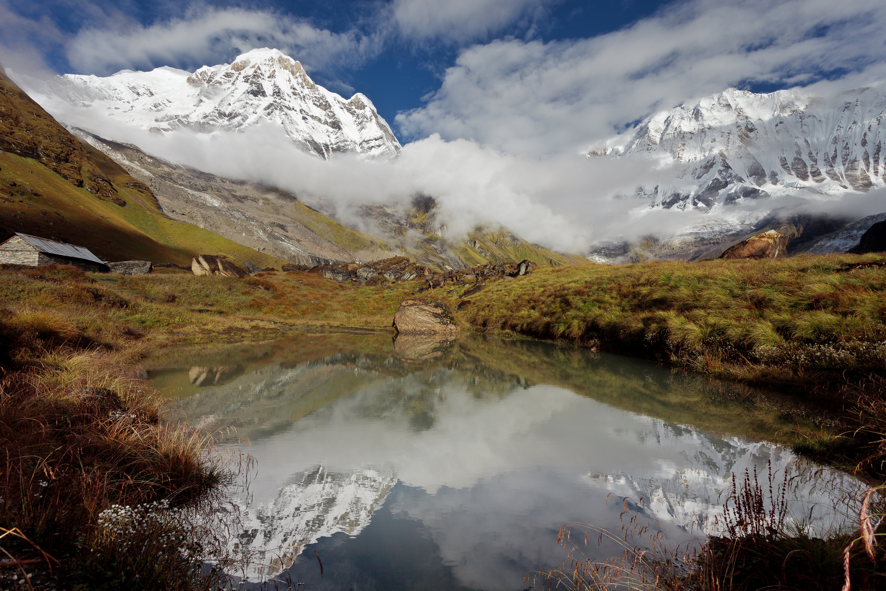
A view from Annapurna Base Camp.

The Full View @ Ghandruk, Nepal
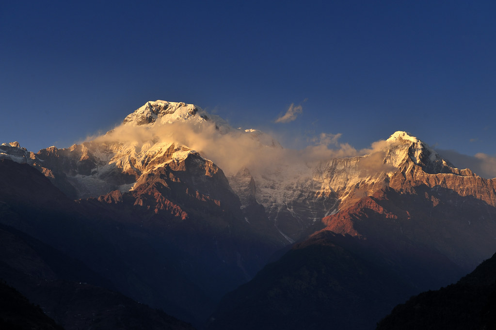
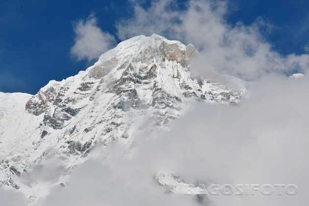
Machapuchare (6 993 m)
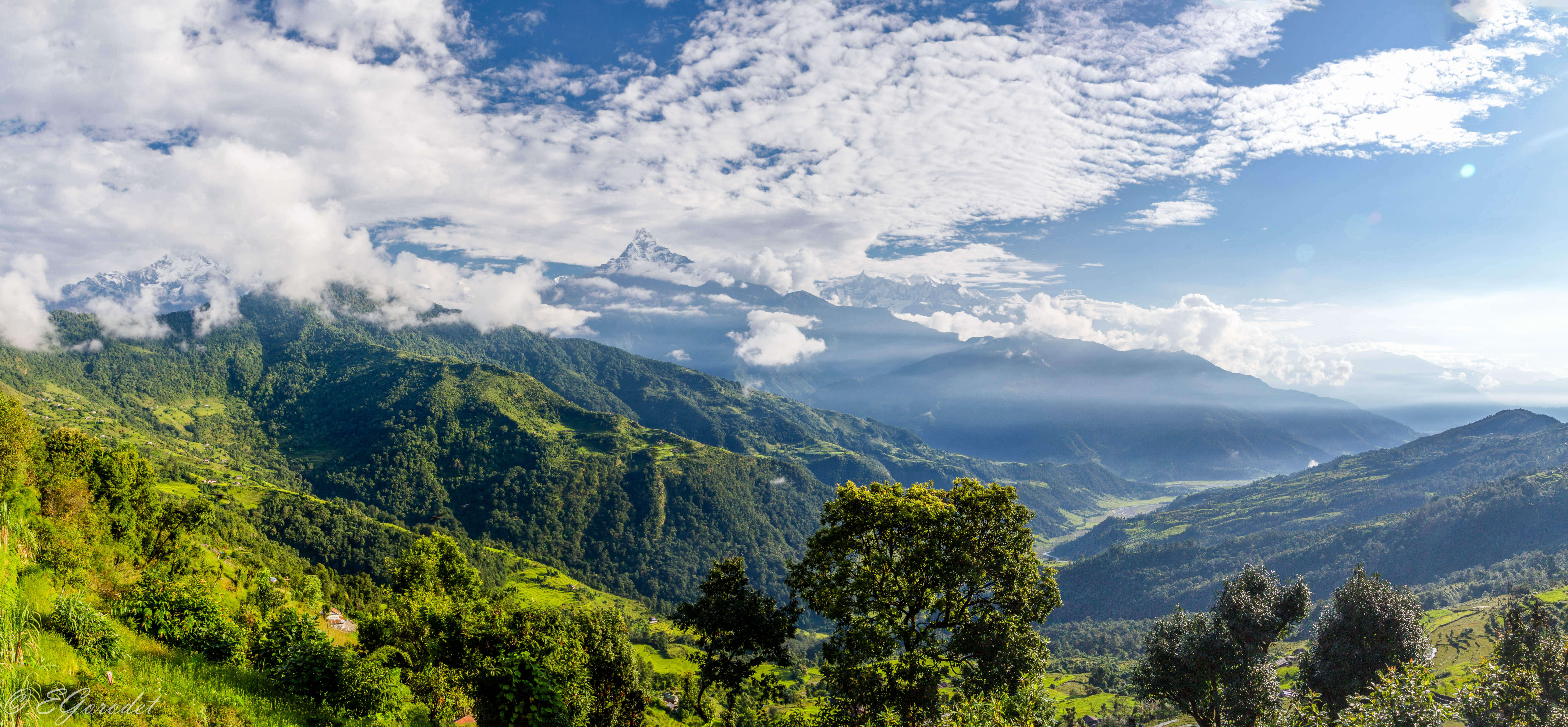
Panorama of the Himalayas in the morning

Annapurna Views from Ghandruk #poonhill #abctrek #annapurna #annapurnabasecamp #himalaya #explorenepal #explorehimalaya #nepaltrekking #nepalplanetTreks #like4like #likeforlike #instanepal #nepalheart #visitnepal #nepal8thwonder #myGHT #himgeo #himalayan

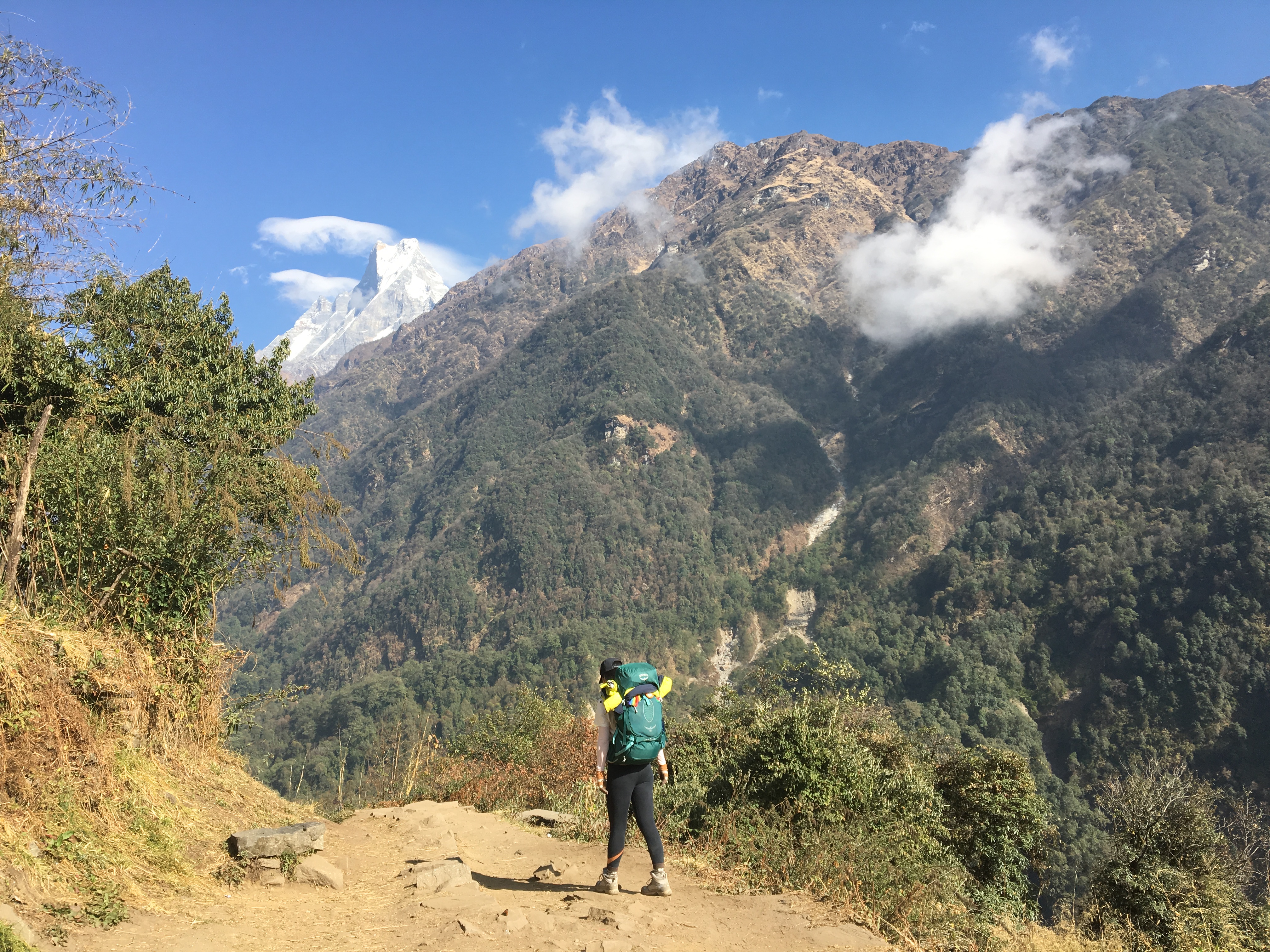
Beautiful view from the trail

Al fin el sol. Vistas desde Kopre Danda
Morning view at Annapurna South and Machapuchare mountains

Annapurna South Before Dawn, Landruk, Annapurna Circuit, Nepal
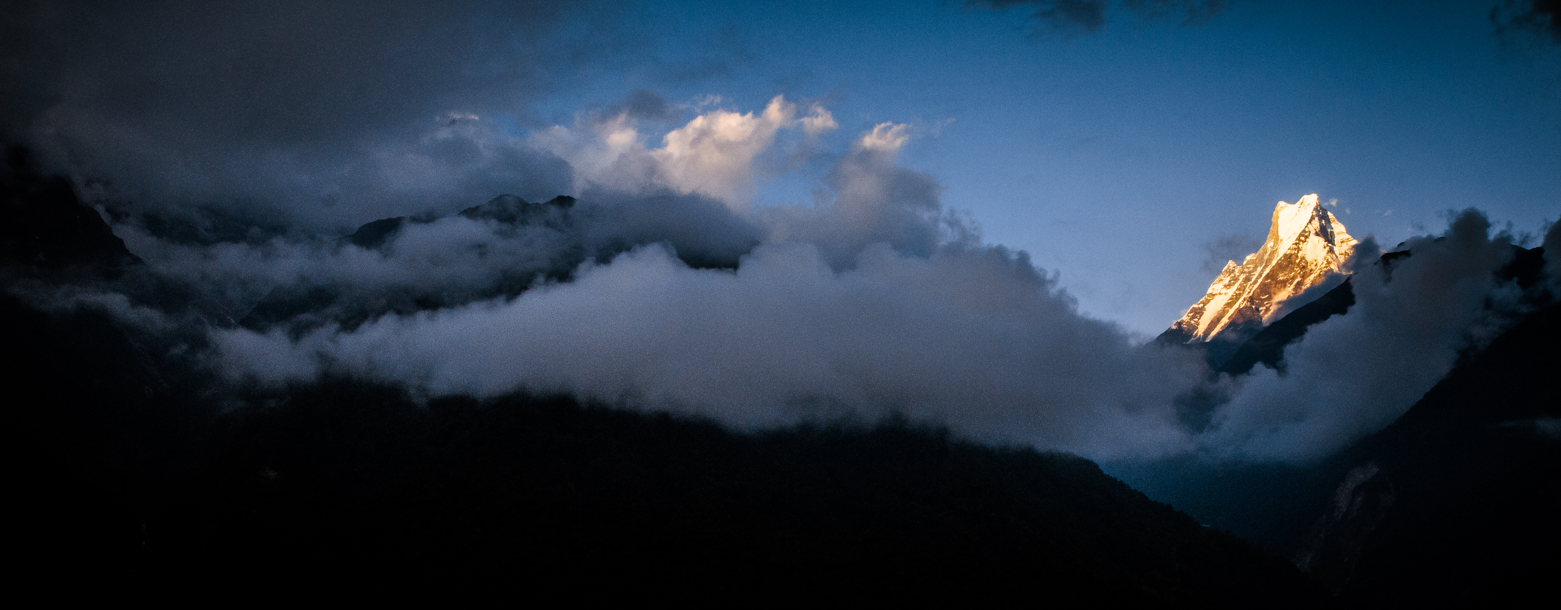
Calm After the Storm

View at Annapurna Base Camp.
The Mountain View @ Nepal

View at Annapurna Base Camp.
Annapurna I and Annapurna South

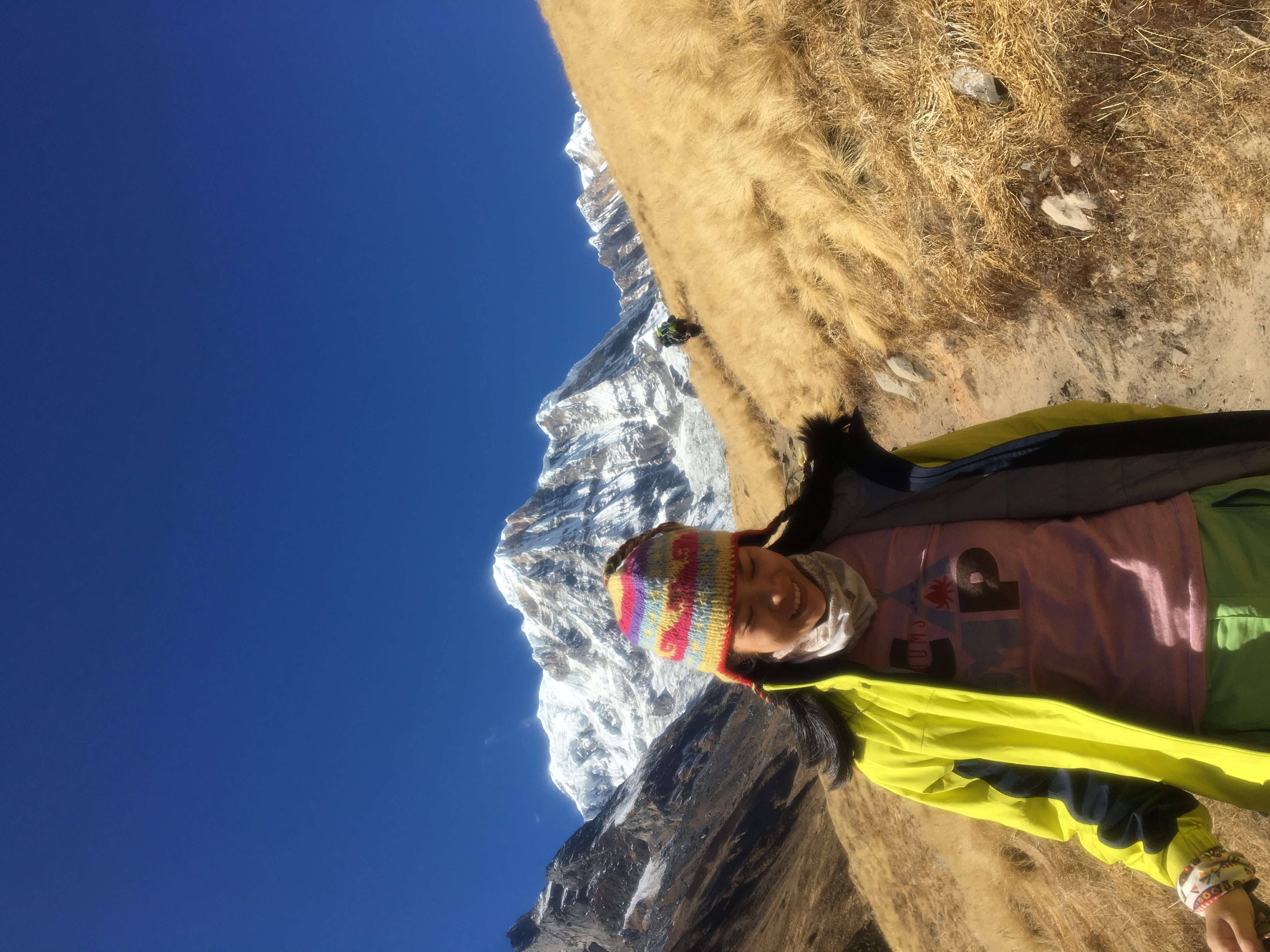
Lunch view on Annapurna Base Camp trek, Nepal
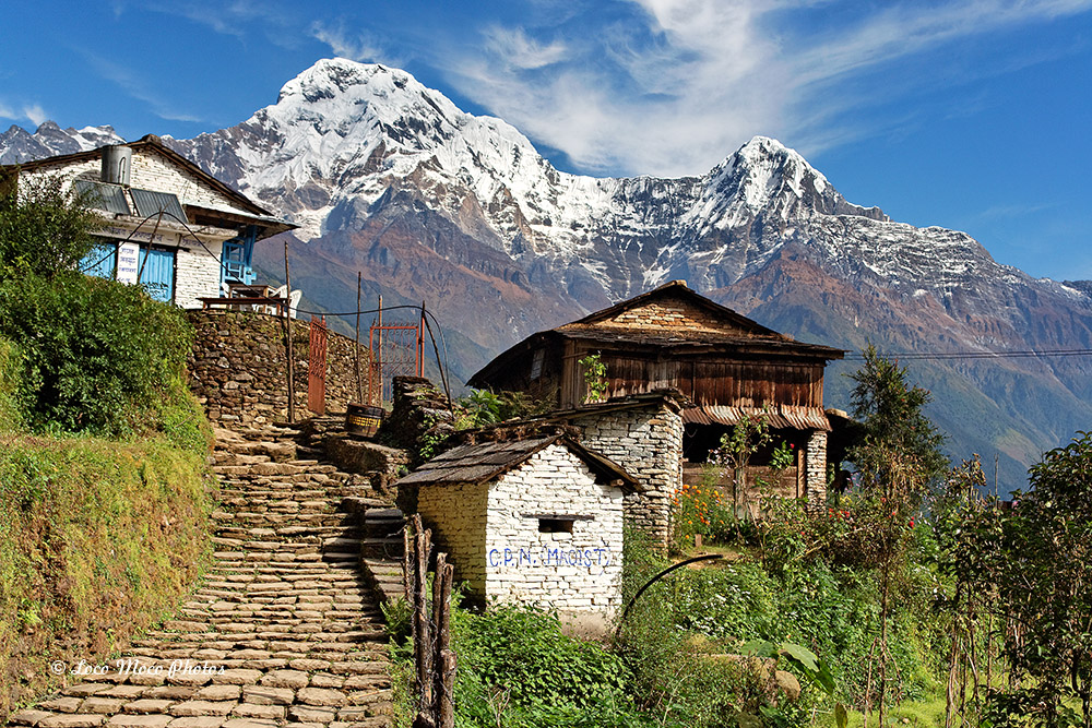
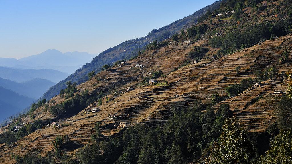
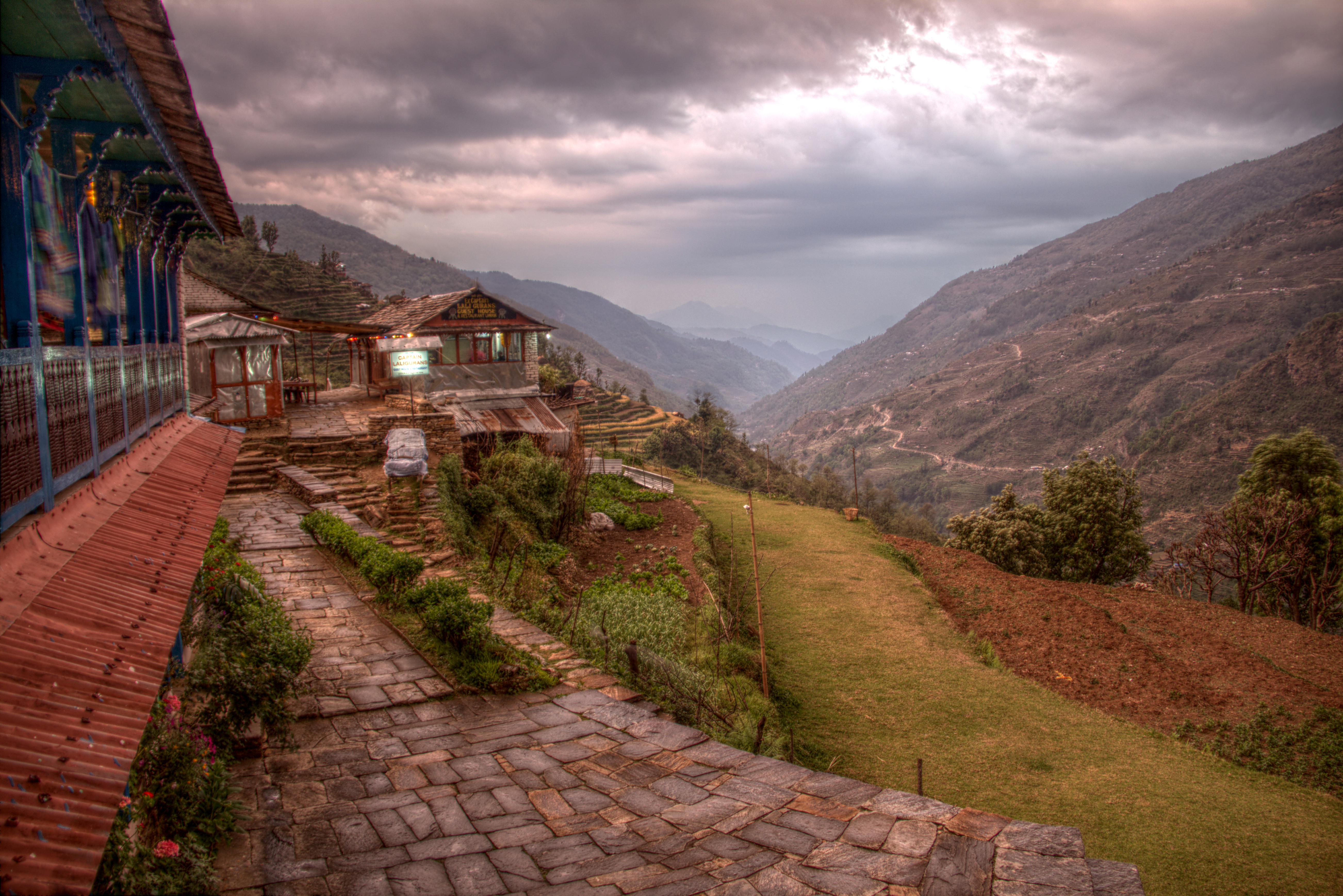
Ghandruk, Nepal
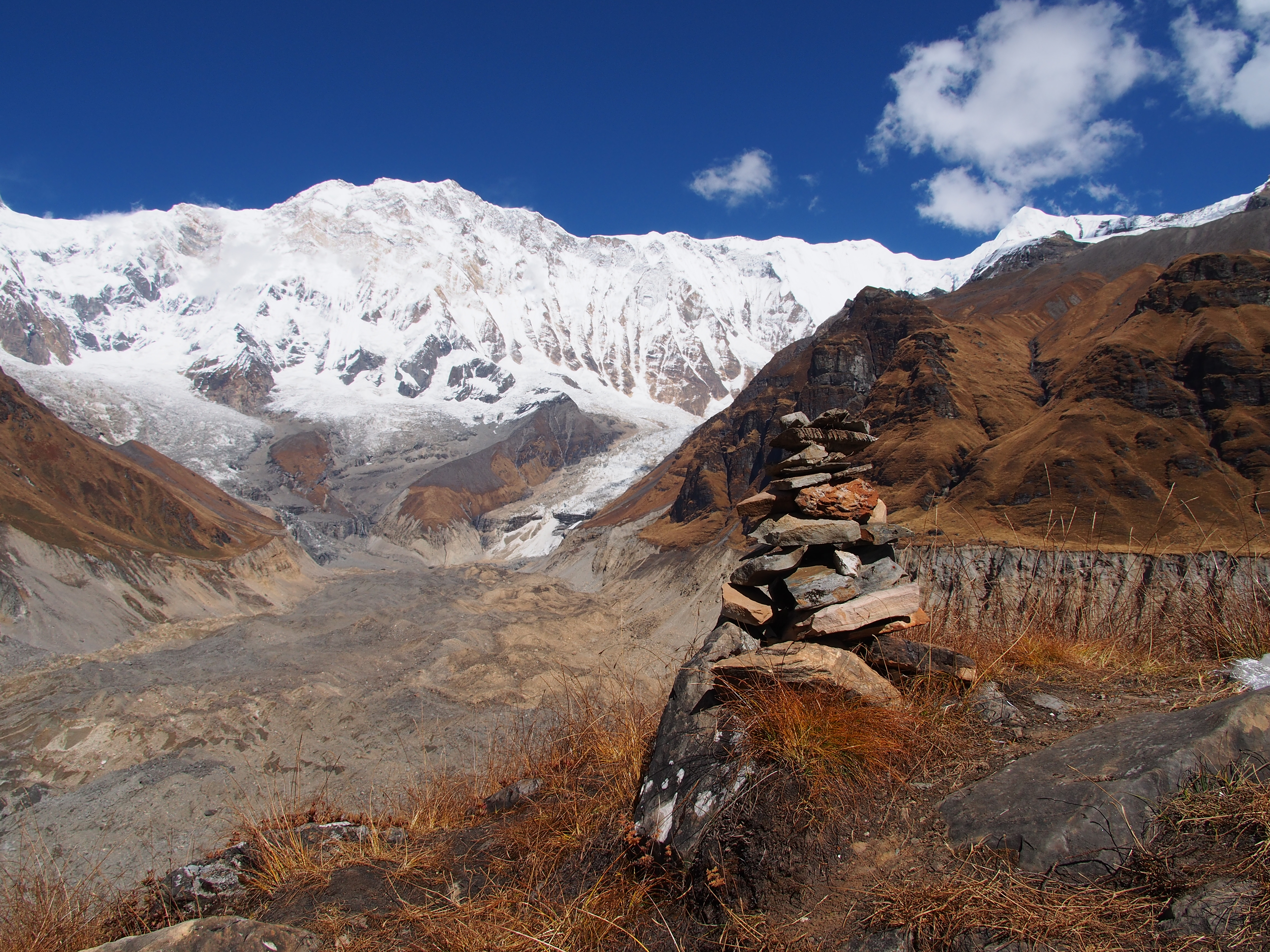
Views from the Sanctuary, Annapurna

The View @ Dhampus, Nepal
N E P A L
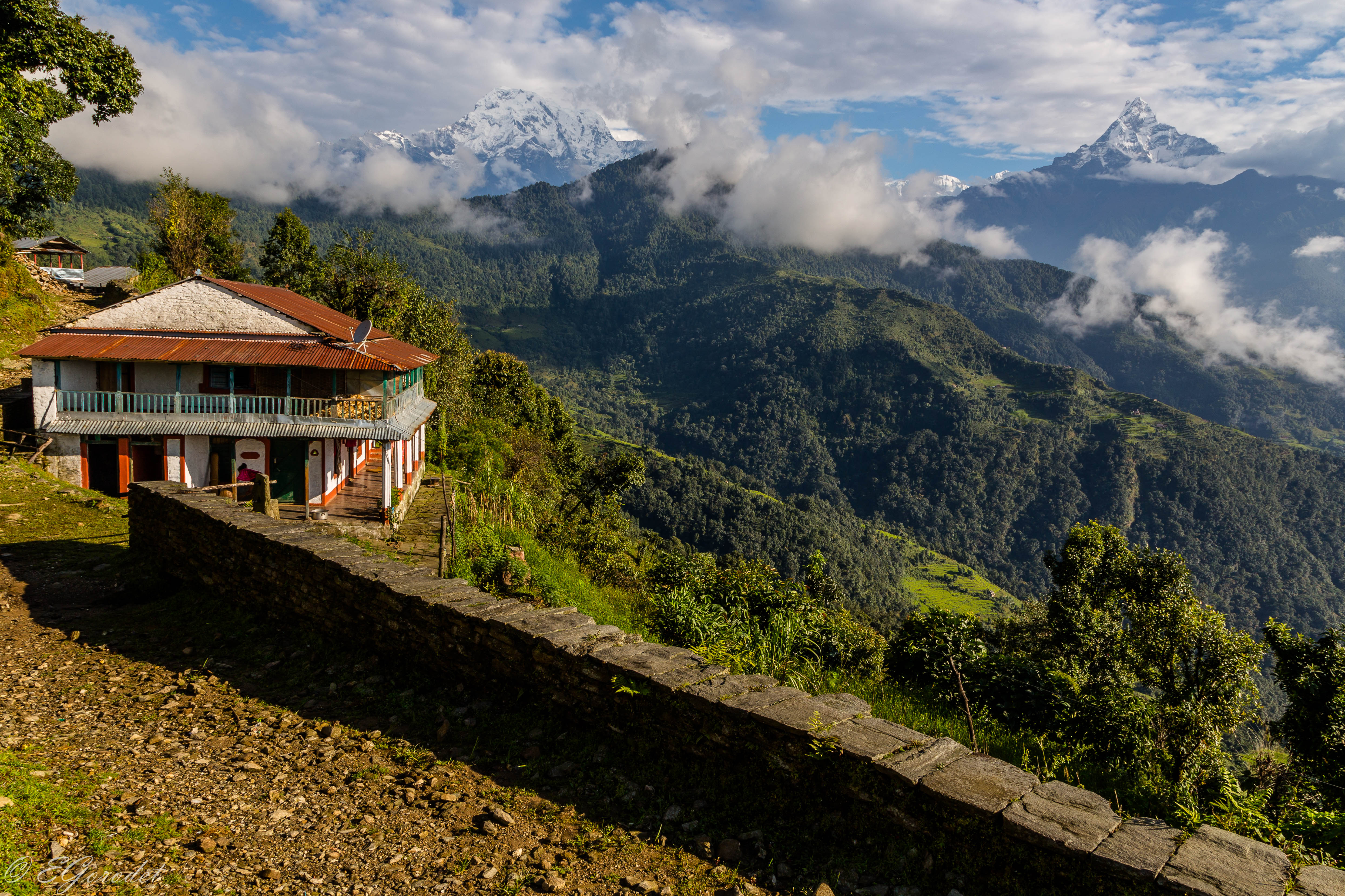
Hotel Landruk
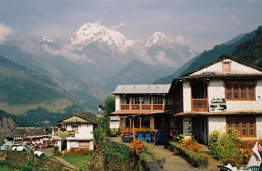
Lodges in Landruk (village), Annapurna South (peak), Hiun Chuli (peak), Annapurnas round trek, Himalaya, Nepal, 2004
Ghorepani Poon Hill Trek - Day 4
Annapurna South + Hiunchuli @ Landrung, Nepal
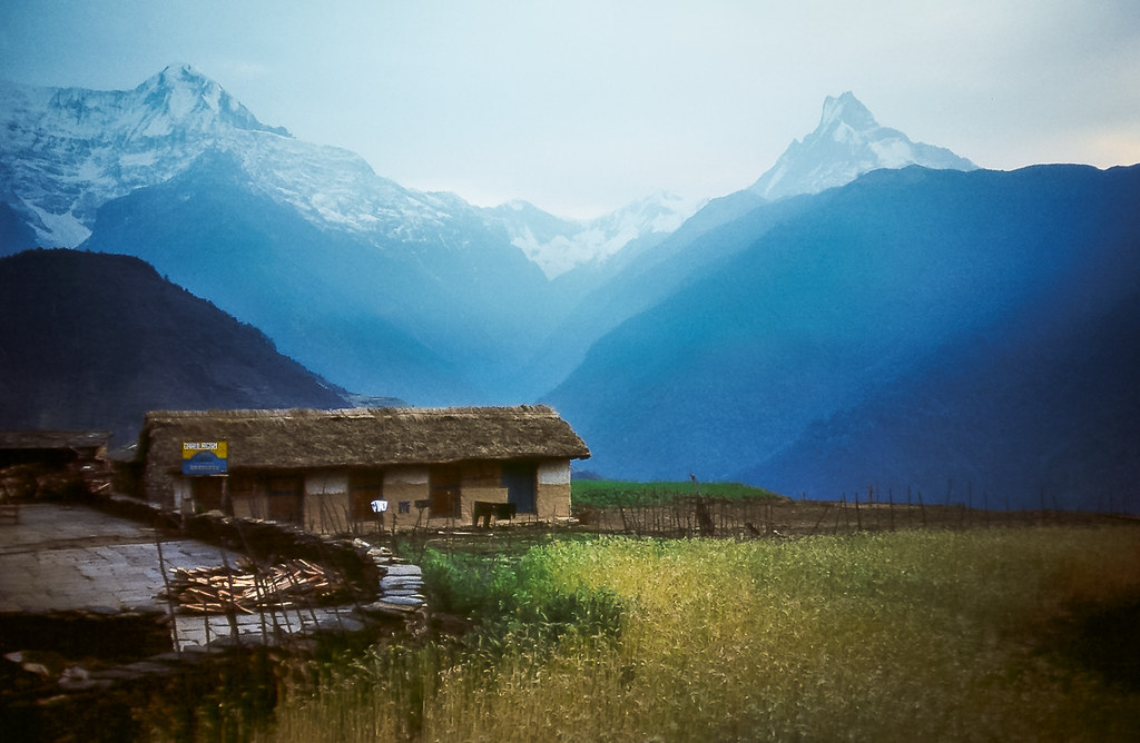
Ghandruk ll
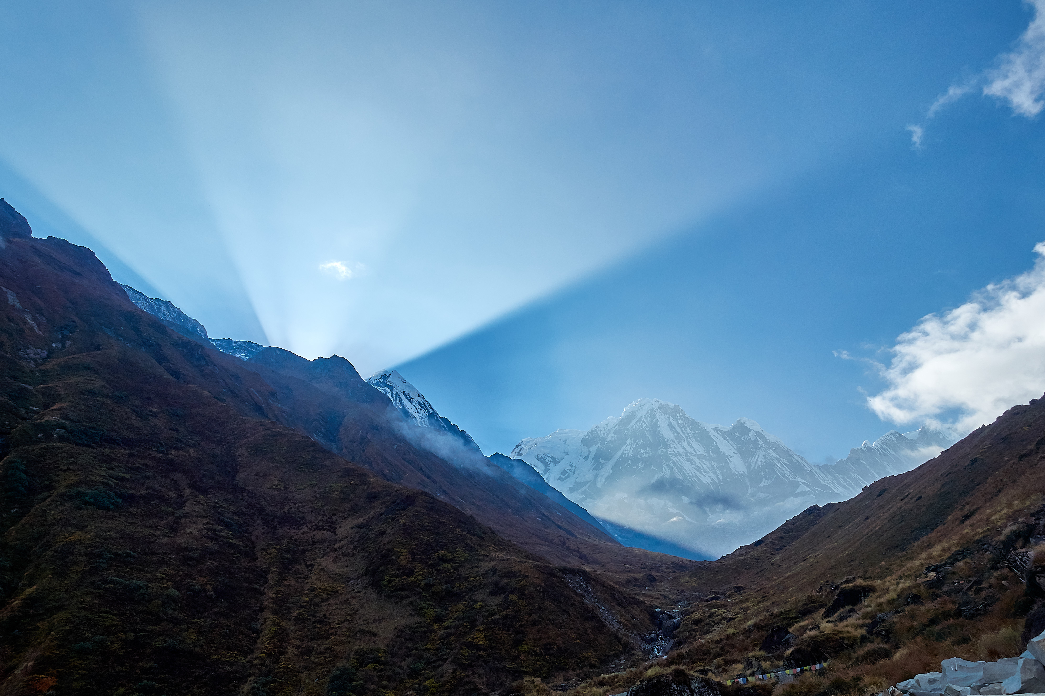
sunrise in the mardi himal

2017-12-24 141422

2017-12-24 141617
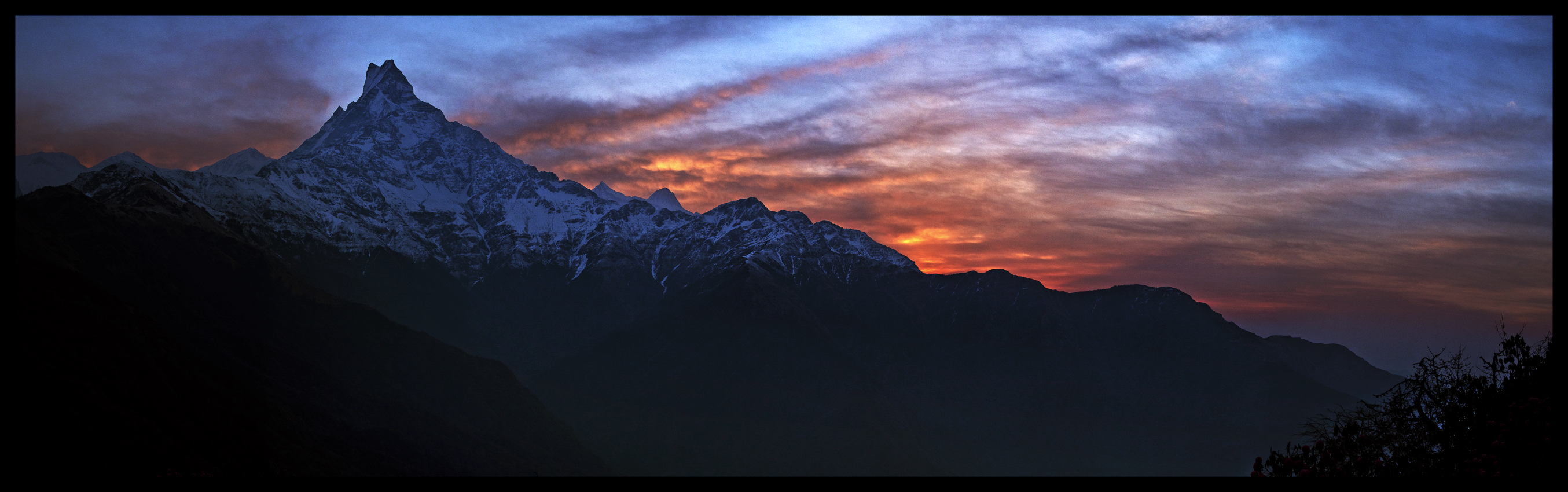
The Fish Tail
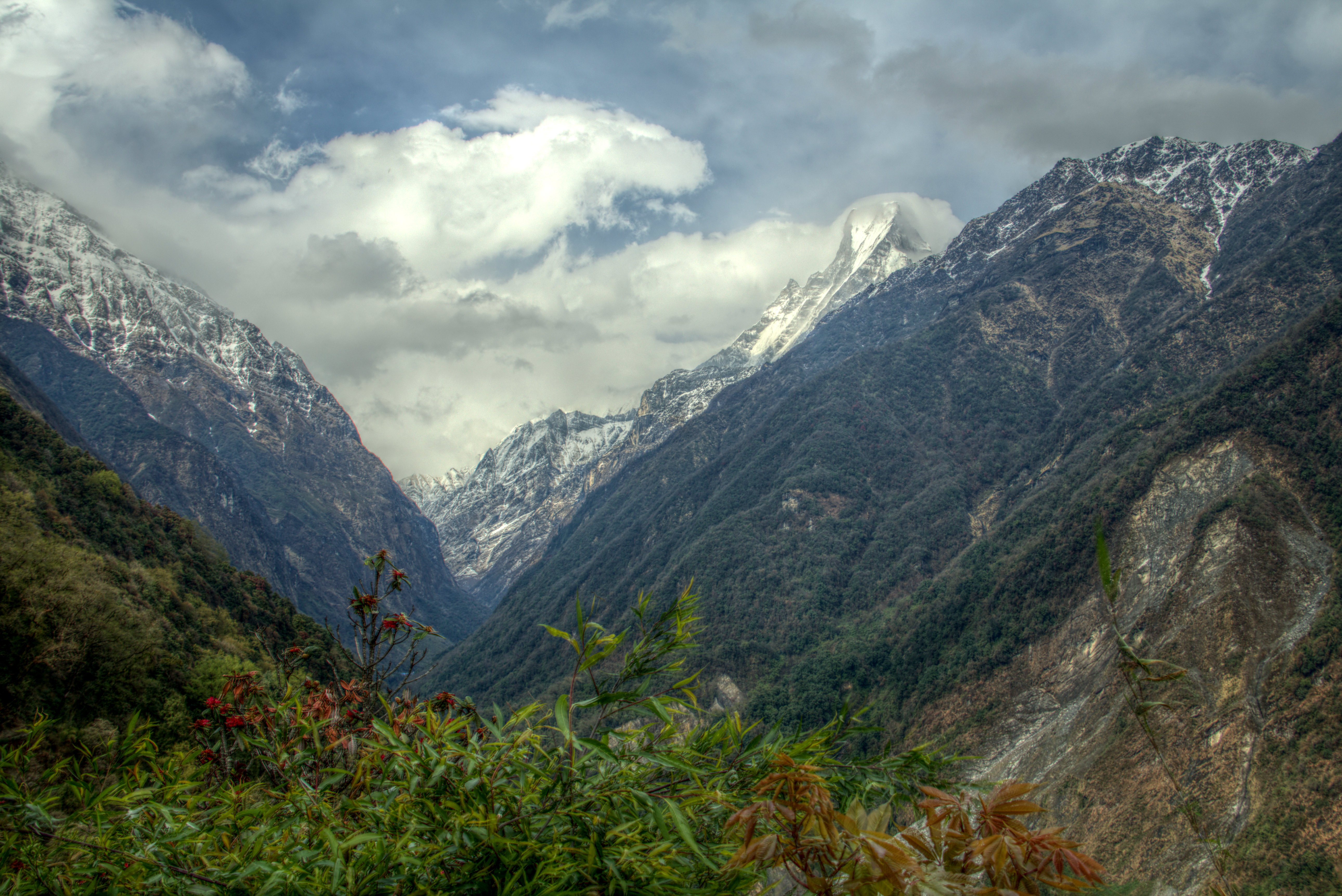
Atardecer en Machapuchare Base Camp
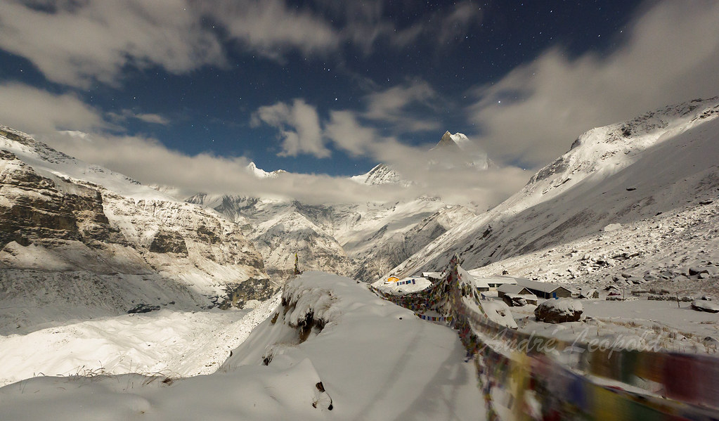
Annapurna Sanctuary in Moonlight

2017-12-22 154946

Machhapuchhre (peak), Annapurnas round trek, Himalaya, Nepal, 2004
2017-12-22 154955
Pokhara - Himalaja - Annapurna159
2017-12-24 135952
machhapuchare & surrounding peaks from namchung ri
2012-08-14 02 3
Annapurna South and Annapurna 1

Machhaphuchhare, the fish tail (6993m)
Topographic Map of Kali Gandaki River, Nepal
Find elevation by address:

Places near Kali Gandaki River, Nepal:
Lwang Ghalel
Nepal
Mardi Himal Base Camp
Hotel Himalayan Majesty (badal Danda)
Ghachok
Dovan
Bamboo Lodge Restaurant
Machhapuchchhre
Machhapuchhre Village Inn
Sardi Khola
Sinuwa
Annapurna Mon Village
Jhinu Danda Hot Spring
Community Hall Lwang
Lwang
Jhinu Danda
Lumle
Chhomrong
Landruk
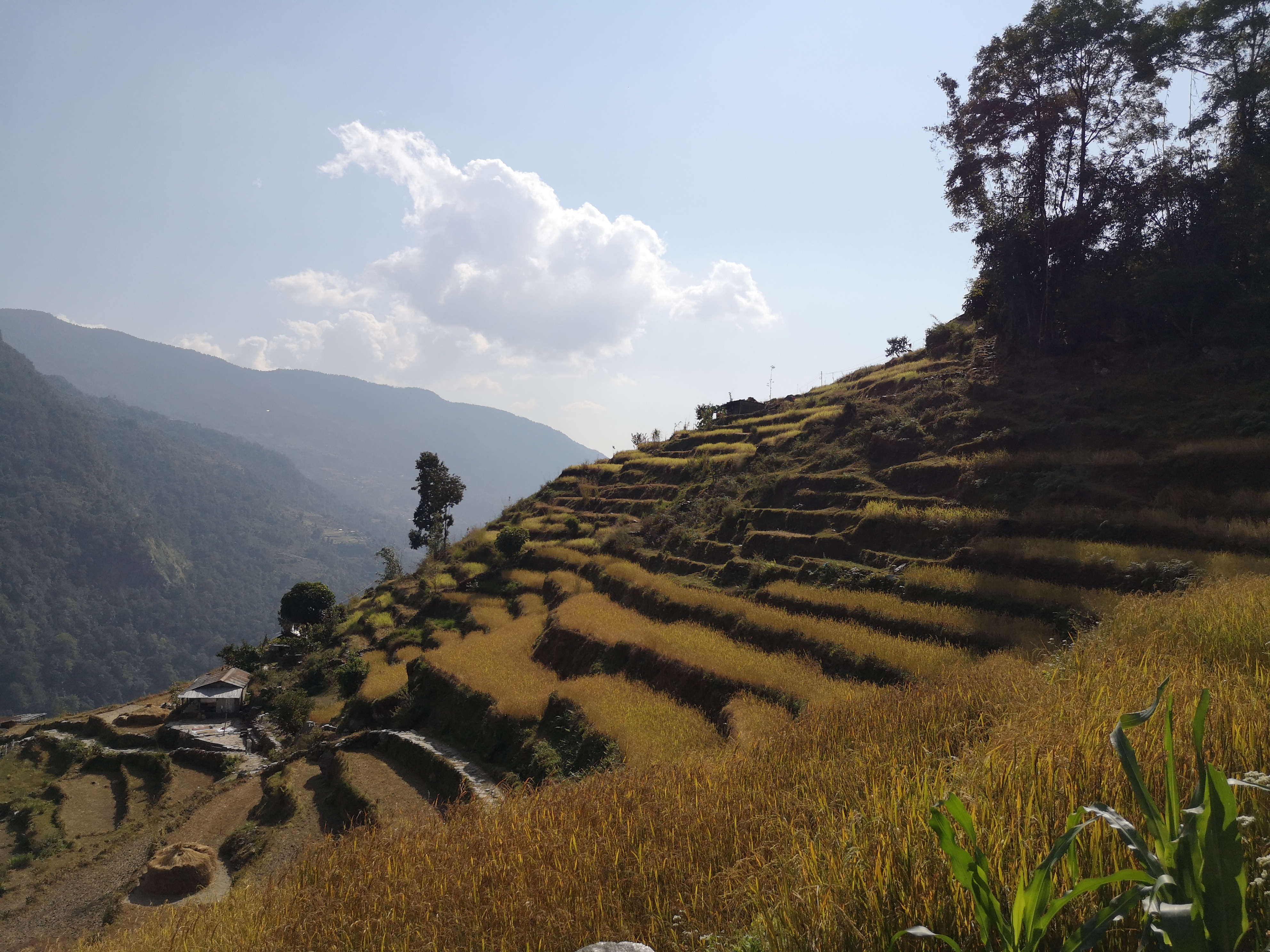
Ghandruk
Recent Searches:
- Elevation of Corso Fratelli Cairoli, 35, Macerata MC, Italy
- Elevation of Tallevast Rd, Sarasota, FL, USA
- Elevation of 4th St E, Sonoma, CA, USA
- Elevation of Black Hollow Rd, Pennsdale, PA, USA
- Elevation of Oakland Ave, Williamsport, PA, USA
- Elevation of Pedrógão Grande, Portugal
- Elevation of Klee Dr, Martinsburg, WV, USA
- Elevation of Via Roma, Pieranica CR, Italy
- Elevation of Tavkvetili Mountain, Georgia
- Elevation of Hartfords Bluff Cir, Mt Pleasant, SC, USA