Elevation of Mörtkullnäset, 80 Hoting, Sweden
Location: Sweden > Jamtland County > Mörtkullnäset >
Longitude: 16.0772684
Latitude: 63.9198539
Elevation: 243m / 797feet
Barometric Pressure: 98KPa
Elevation Map:
Satellite Map:
Related Photos:
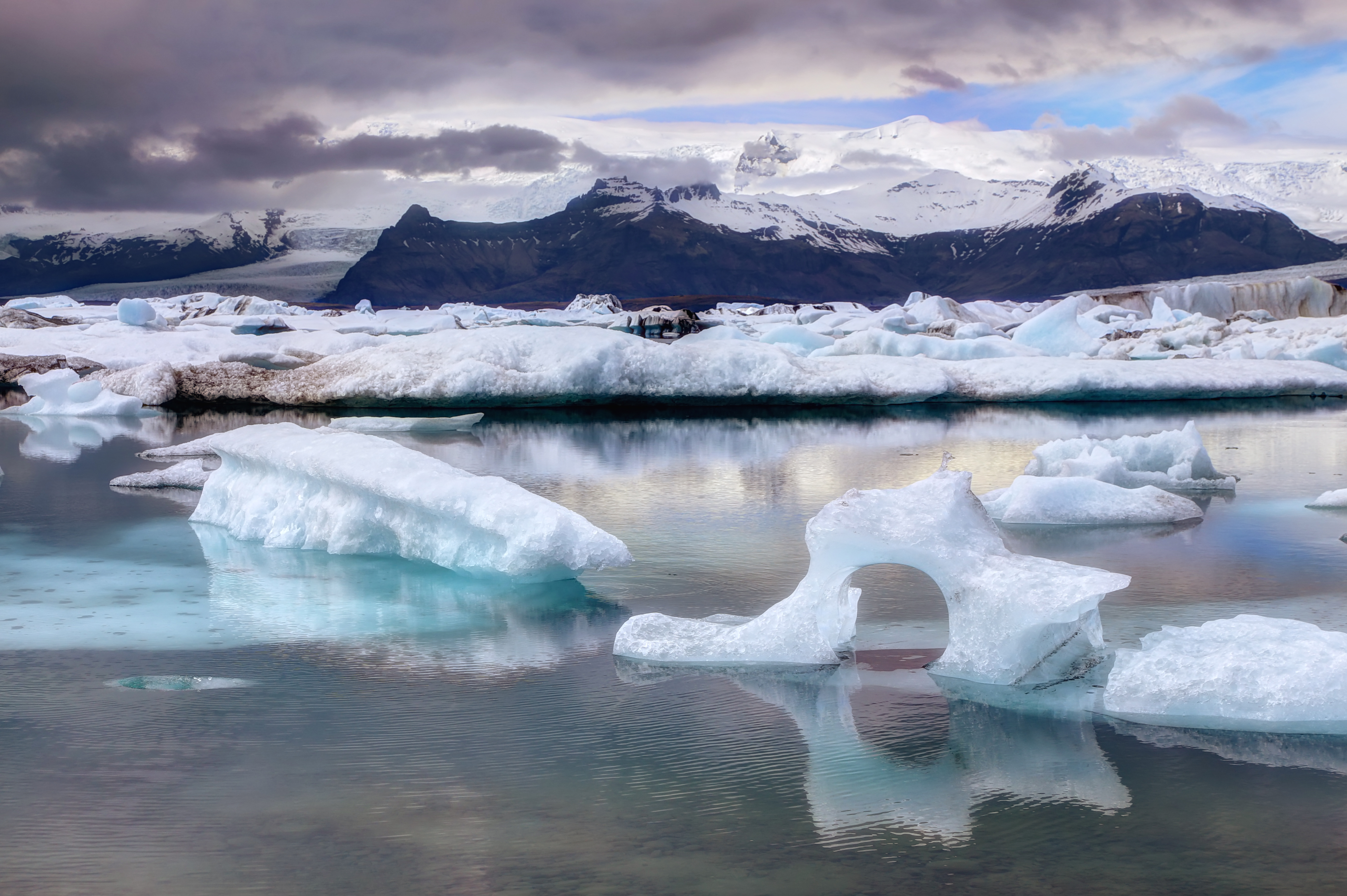
Floating ice

20130620-223615

Strömsund, Jämtland

Natalie Bianca
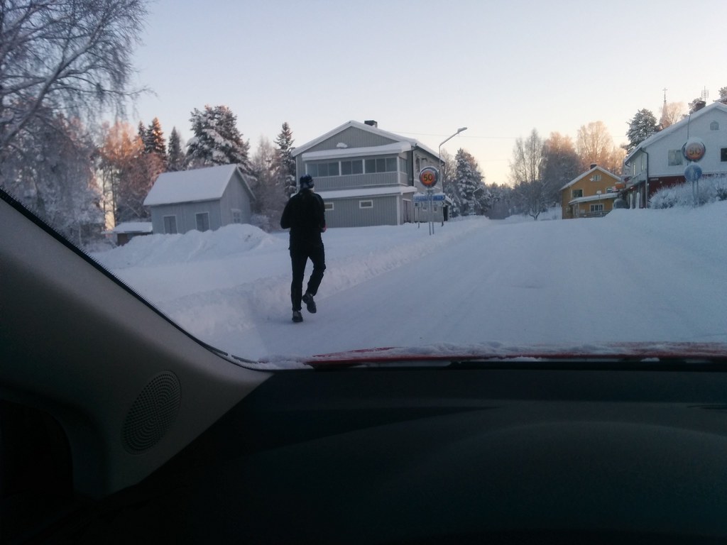
2014-12-27 11.42.03

Justin bieber

20130620-204808

20130620-183807

Paolo Zampori
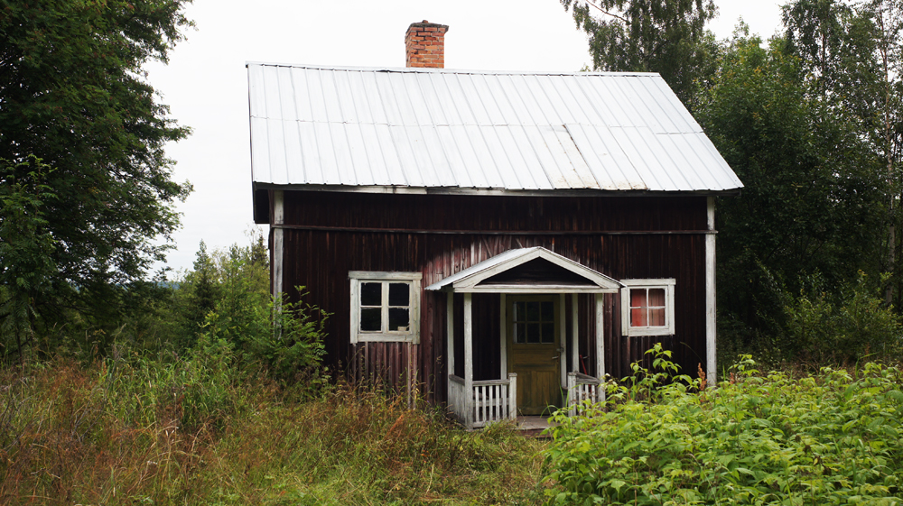
Backe, House
Topographic Map of Mörtkullnäset, 80 Hoting, Sweden
Find elevation by address:

Places near Mörtkullnäset, 80 Hoting, Sweden:
Mörtkullnäset
Strömsund
Järvsand, 95 Strömsund, Sweden
Järvsand, 95 Strömsund, Sweden
Järvsand
Strömsund Ö
SPORRSJÖNÄS, 93 Strömsund, Sweden
RÖRSTRÖM, 80 Hoting, Sweden
Vallåsen
Brattbäcken
Brattbäcken, 80 Hoting, Sweden
Dorotea
Strömsund
Byvägen 14, 35 Strömsund, Sweden
Tullingsås
Tullingsås, 92 Strömsund, Sweden
Sollefteå V
Dorotea S
By
BERGBACKA 3, 99 Dorotea, Sweden
Recent Searches:
- Elevation of Corso Fratelli Cairoli, 35, Macerata MC, Italy
- Elevation of Tallevast Rd, Sarasota, FL, USA
- Elevation of 4th St E, Sonoma, CA, USA
- Elevation of Black Hollow Rd, Pennsdale, PA, USA
- Elevation of Oakland Ave, Williamsport, PA, USA
- Elevation of Pedrógão Grande, Portugal
- Elevation of Klee Dr, Martinsburg, WV, USA
- Elevation of Via Roma, Pieranica CR, Italy
- Elevation of Tavkvetili Mountain, Georgia
- Elevation of Hartfords Bluff Cir, Mt Pleasant, SC, USA