Elevation of Järvsand, 95 Strömsund, Sweden
Location: Sweden > Jamtland County > Järvsand >
Longitude: 15.8184763
Latitude: 64.0330137
Elevation: 266m / 873feet
Barometric Pressure: 98KPa
Elevation Map:
Satellite Map:
Related Photos:

20130620-223615
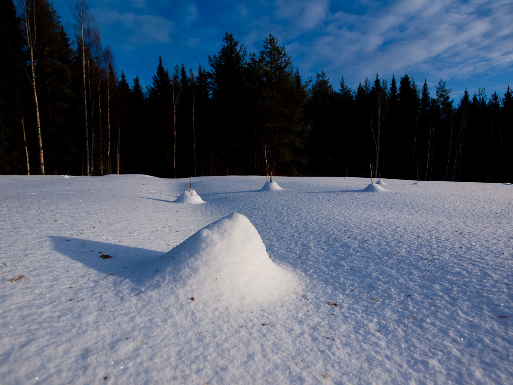
Snow Landscape
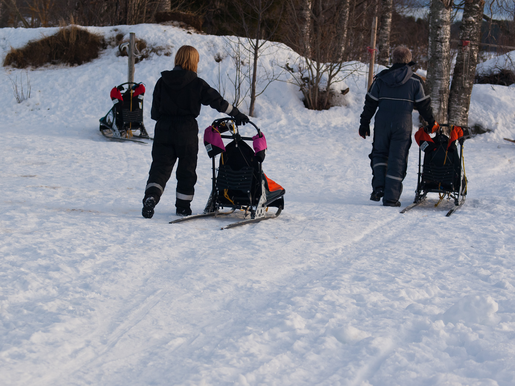
Getting the Sleds Ready

Lars sundqvist

Erik strängby

20130620-204808

20130620-183807

Northern Lights

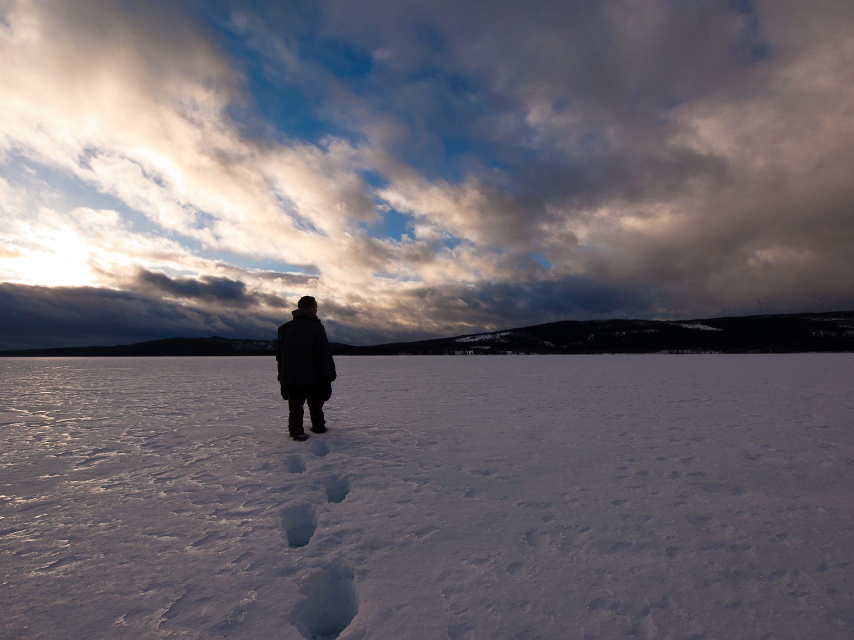
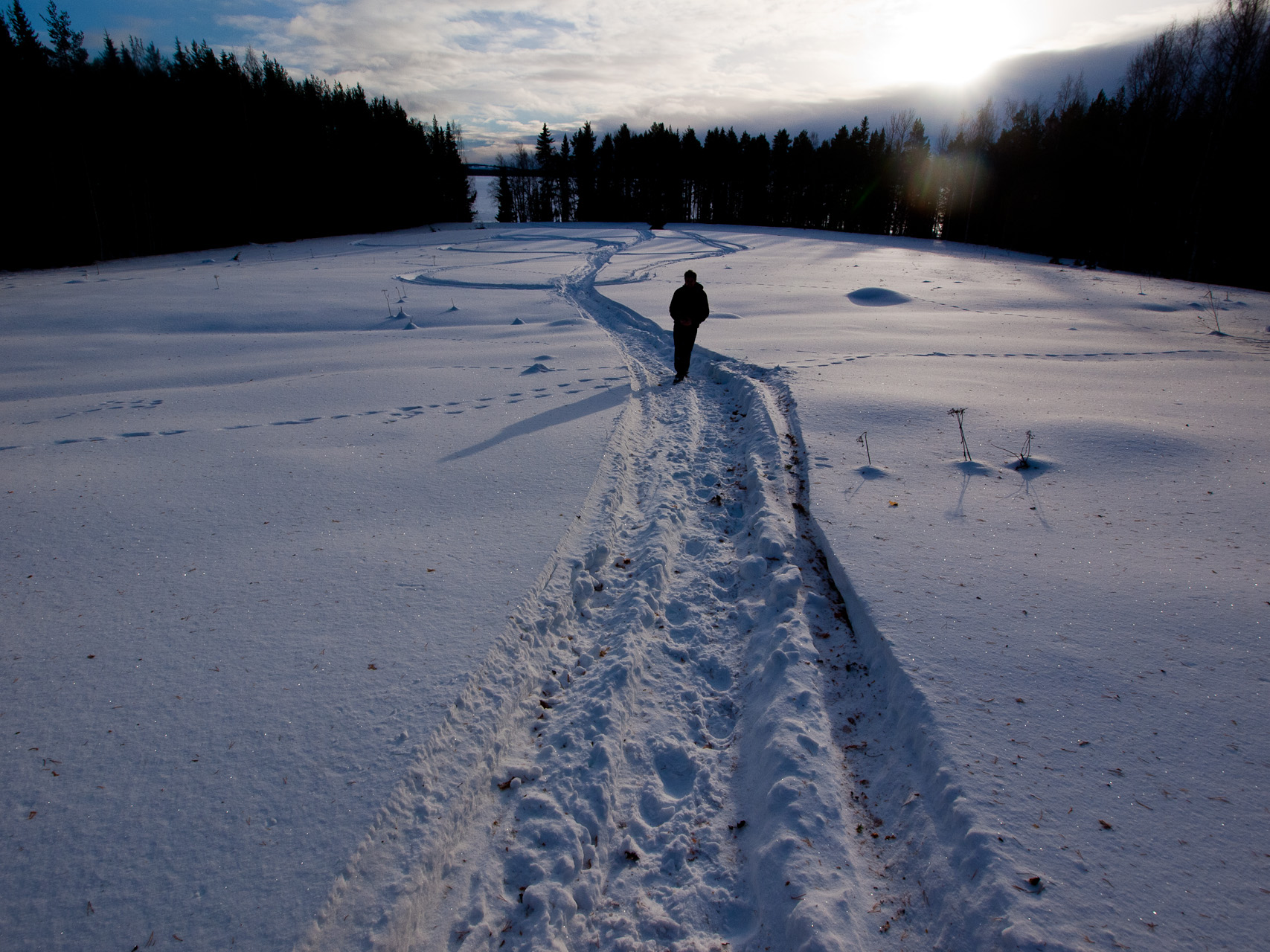
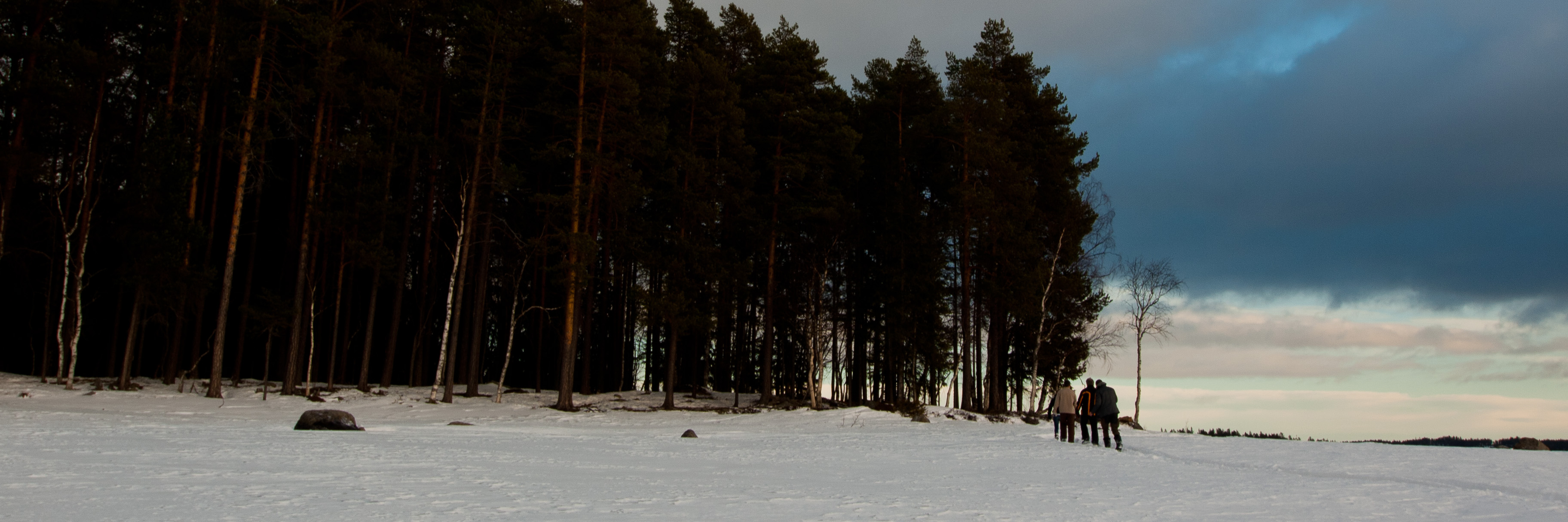
Rene walking across the Lake
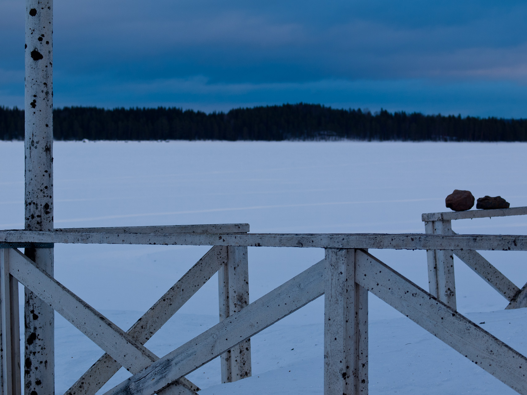
Still Life
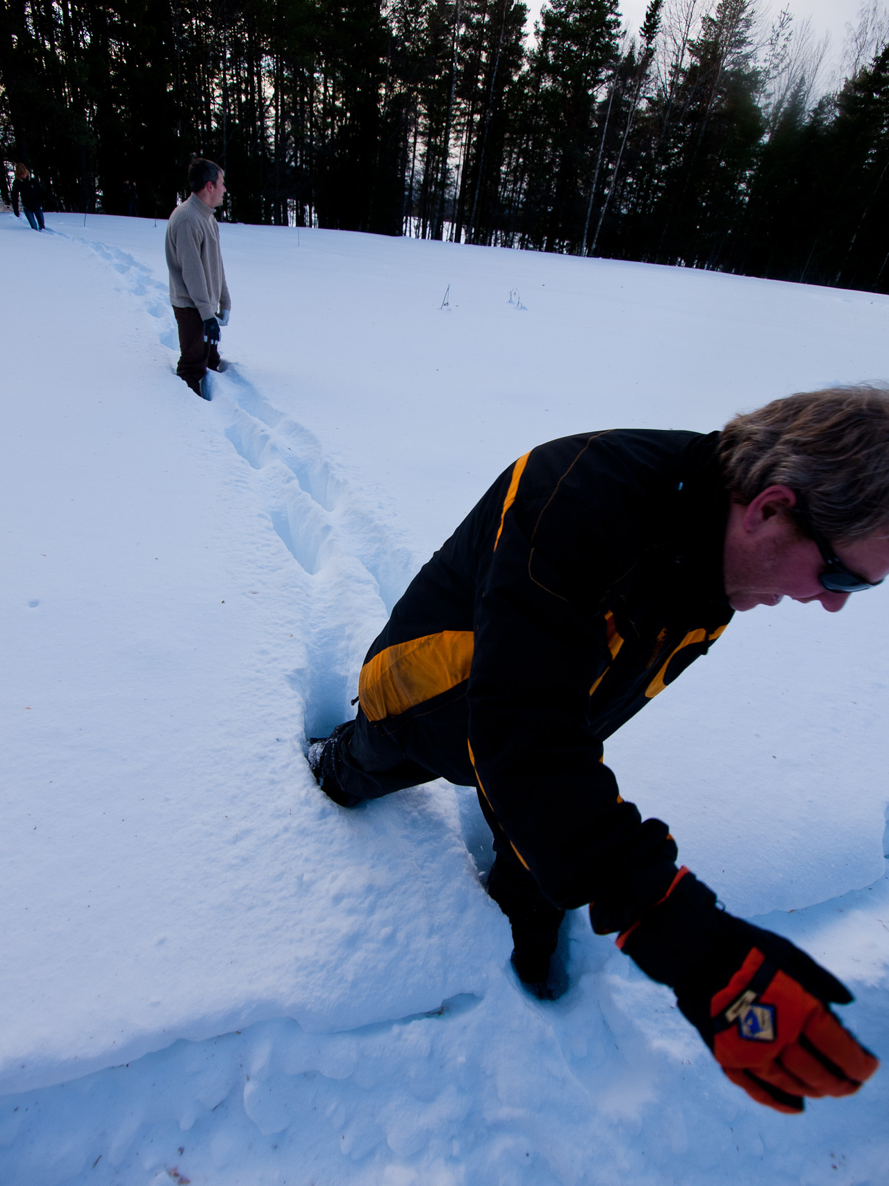
Follow the Leader
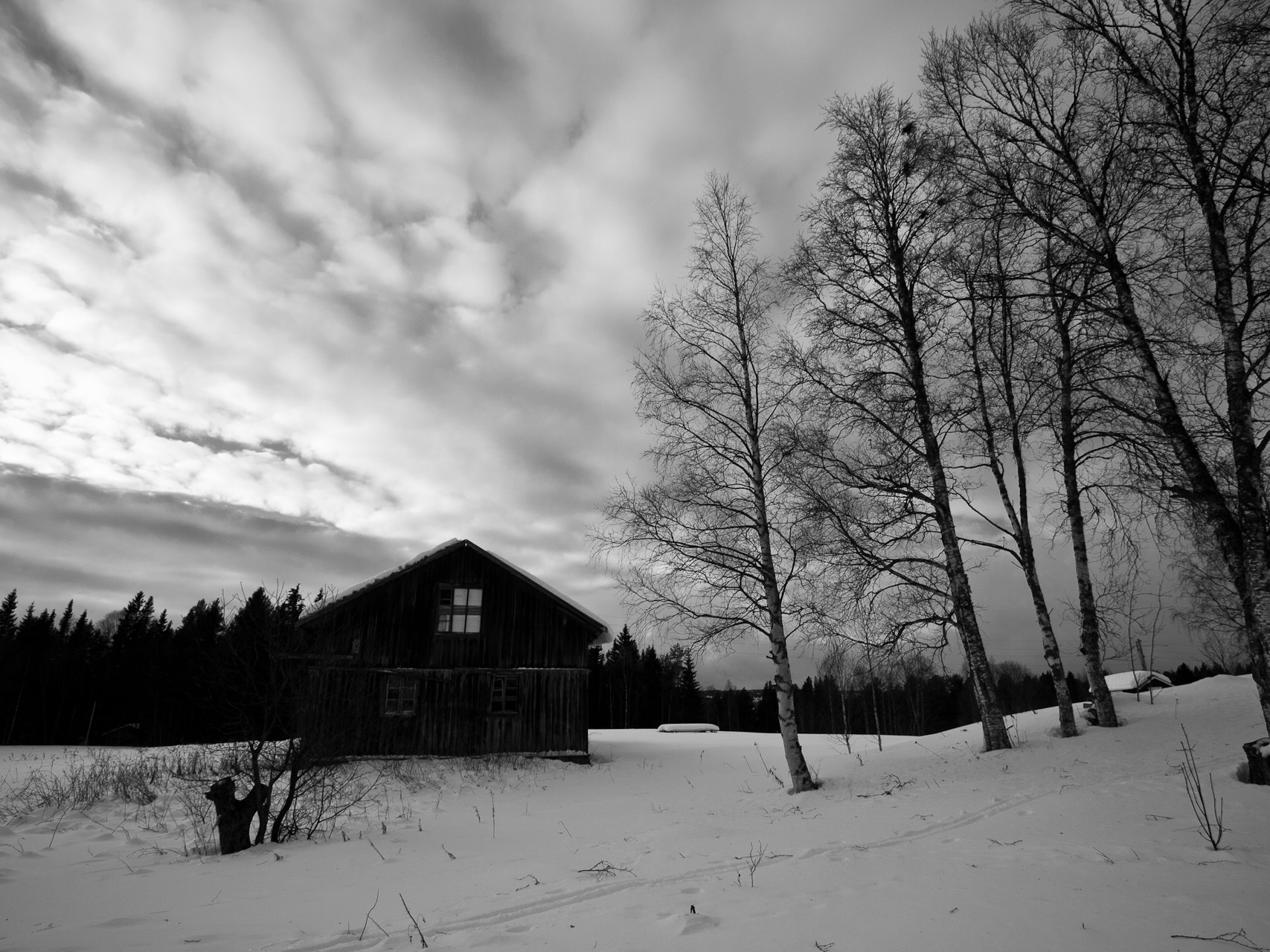
Old Barn
Front Yard
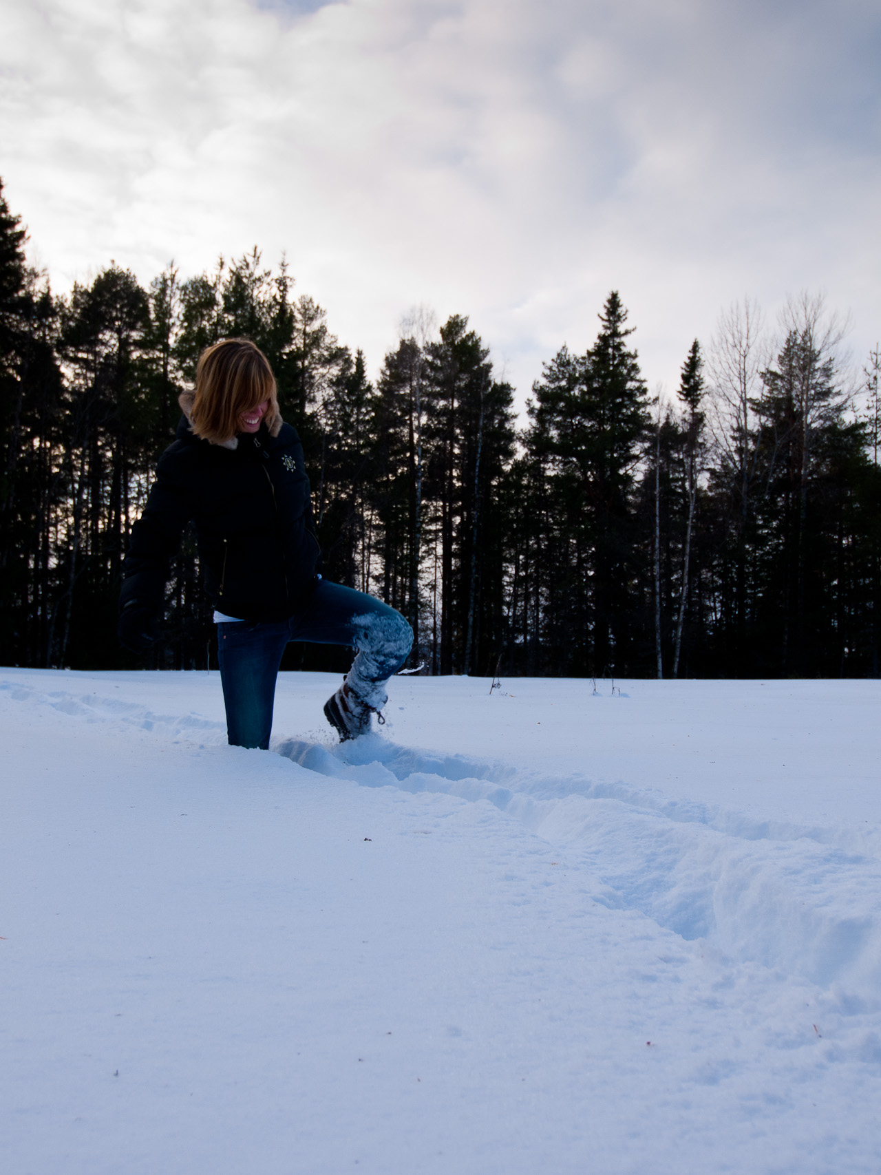
Bregje in Deep Snow
Deep Snow
Reaching Solid Ground
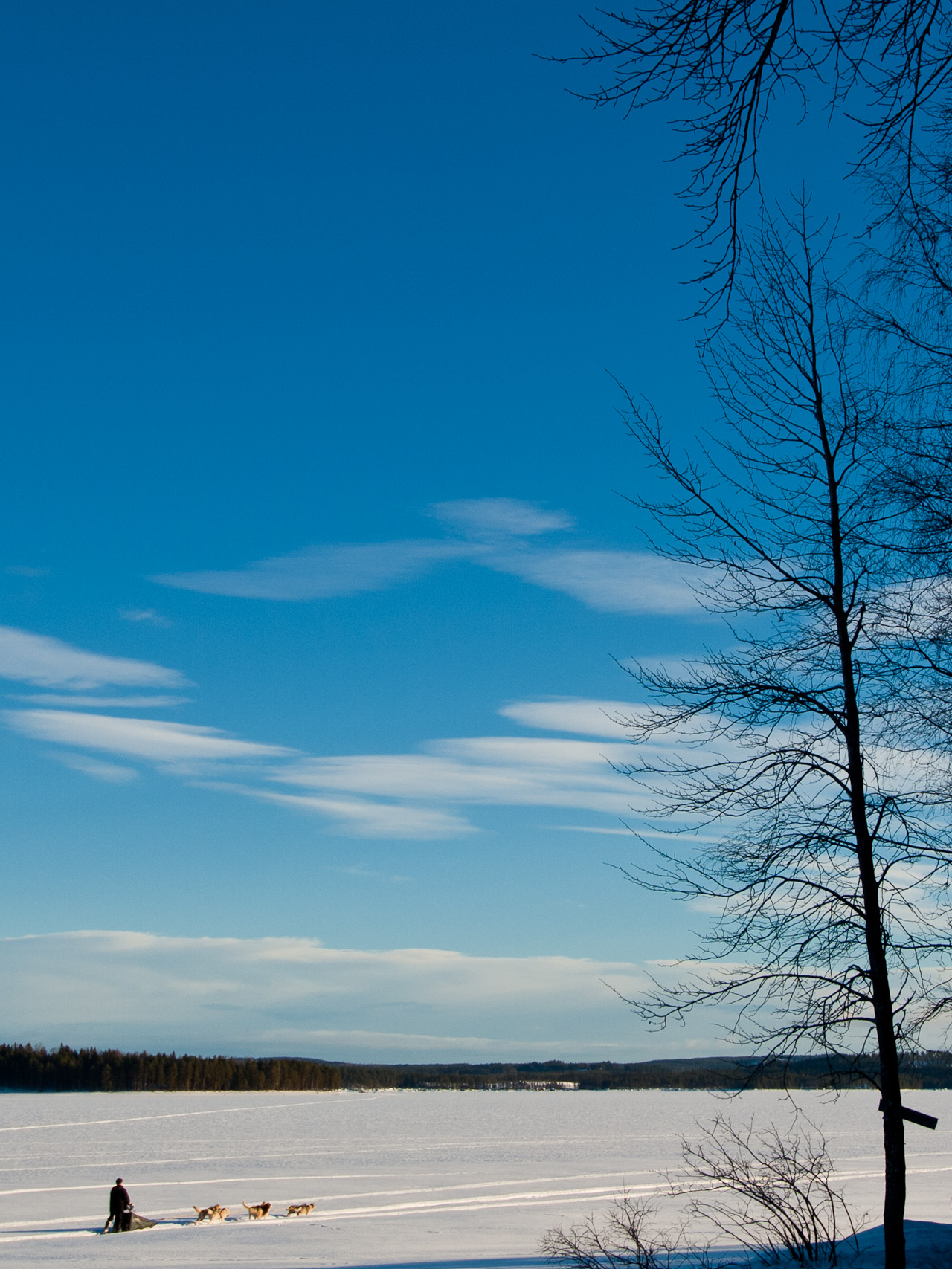
Neighbour on his Sled

Dirk's Huskies Getting Up Close

My Dogs are Ready

Kane is Ready
Topographic Map of Järvsand, 95 Strömsund, Sweden
Find elevation by address:

Places near Järvsand, 95 Strömsund, Sweden:
Järvsand, 95 Strömsund, Sweden
Järvsand
Strömsund
Brattbäcken
Brattbäcken, 80 Hoting, Sweden
SPORRSJÖNÄS, 93 Strömsund, Sweden
Mörtkullnäset, 80 Hoting, Sweden
Mörtkullnäset
Strömsund
Byvägen 14, 35 Strömsund, Sweden
Tullingsås
Tullingsås, 92 Strömsund, Sweden
RÖRSTRÖM, 80 Hoting, Sweden
Vallåsen
Dorotea Nv
Strömsund Ö
Dorotea
Skyttmon
Skyttmon, 76 Stugun, Sweden
Dorotea S
Recent Searches:
- Elevation of Corso Fratelli Cairoli, 35, Macerata MC, Italy
- Elevation of Tallevast Rd, Sarasota, FL, USA
- Elevation of 4th St E, Sonoma, CA, USA
- Elevation of Black Hollow Rd, Pennsdale, PA, USA
- Elevation of Oakland Ave, Williamsport, PA, USA
- Elevation of Pedrógão Grande, Portugal
- Elevation of Klee Dr, Martinsburg, WV, USA
- Elevation of Via Roma, Pieranica CR, Italy
- Elevation of Tavkvetili Mountain, Georgia
- Elevation of Hartfords Bluff Cir, Mt Pleasant, SC, USA