Elevation of Mărișel, Romania
Location: Romania > Cluj County >
Longitude: 23.1098752
Latitude: 46.6676666
Elevation: 1217m / 3993feet
Barometric Pressure: 88KPa
Elevation Map:
Satellite Map:
Related Photos:

Spectacular sunset in the countryside

View towards Vladeasa Mt.

The view through the gate

Parallel hills

Rural cemetery

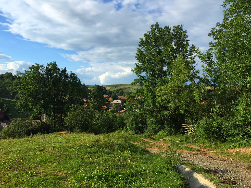
The view over the village

Cemetery with a view

The view from the Church Hill

The view from the Church Hill

The village

Romanian countryside

Evening sun

Romanian countryside

Winter time

Romanian countryside

Summer in the countryside

Romanian countryside
Rural Romania
On the blue 'pond'

The hay is drying

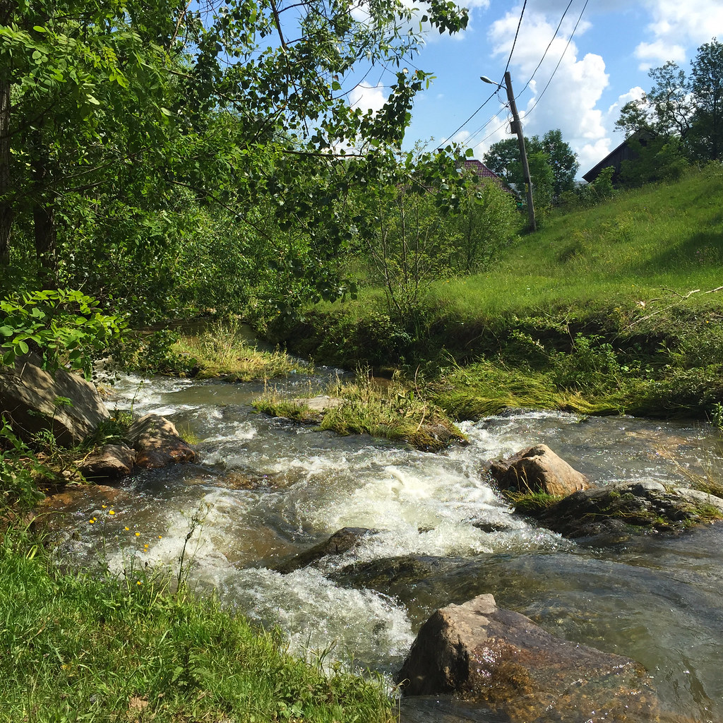
Romanian countryside

In the countryside

Romanian village

Hidden in the valley

Checking the crop

Romanian countryside

Transylvania 3
Romanian countryside

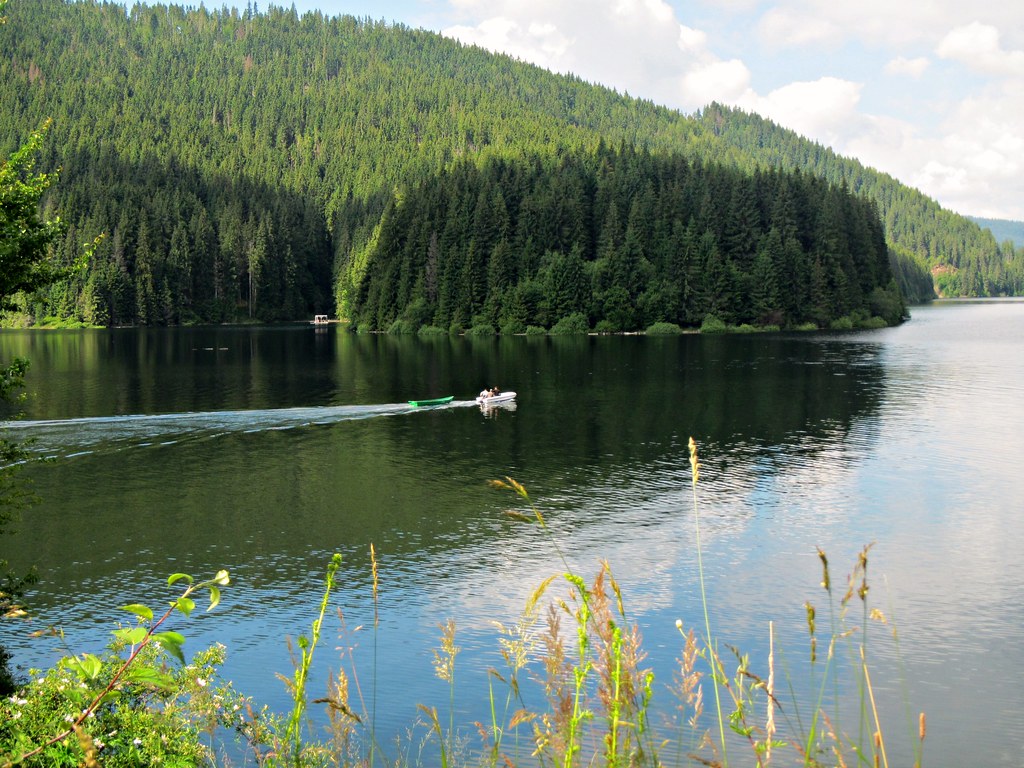
Beliş, Cluj, Romania

Belis Lake Romania

Beliş, Cluj, Romania
Topographic Map of Mărișel, Romania
Find elevation by address:

Places near Mărișel, Romania:
Cabana Moților
Rasca
Huedin
Usamv
Strada C. A. Rosetti
Calea Moților 20
Old Town
Pnl Cluj Napoca
Strada Eftimie Murgu 22
Brd Tower Cluj-napoca
Strada Ciocârliei
Aleea Bârsei
Mărăști
Piața Mărăști
Cluj County
Strada Fabricii
Cluj - Napoca
Cluj-napoca
Sălaj
Strada Elicei
Recent Searches:
- Elevation of Corso Fratelli Cairoli, 35, Macerata MC, Italy
- Elevation of Tallevast Rd, Sarasota, FL, USA
- Elevation of 4th St E, Sonoma, CA, USA
- Elevation of Black Hollow Rd, Pennsdale, PA, USA
- Elevation of Oakland Ave, Williamsport, PA, USA
- Elevation of Pedrógão Grande, Portugal
- Elevation of Klee Dr, Martinsburg, WV, USA
- Elevation of Via Roma, Pieranica CR, Italy
- Elevation of Tavkvetili Mountain, Georgia
- Elevation of Hartfords Bluff Cir, Mt Pleasant, SC, USA