Elevation of Mönchmeierhof 27, Mönchmeierhof, Austria
Location: Austria >
Longitude: 16.3090267
Latitude: 47.3207744
Elevation: 389m / 1276feet
Barometric Pressure: 97KPa
Elevation Map:
Satellite Map:
Related Photos:
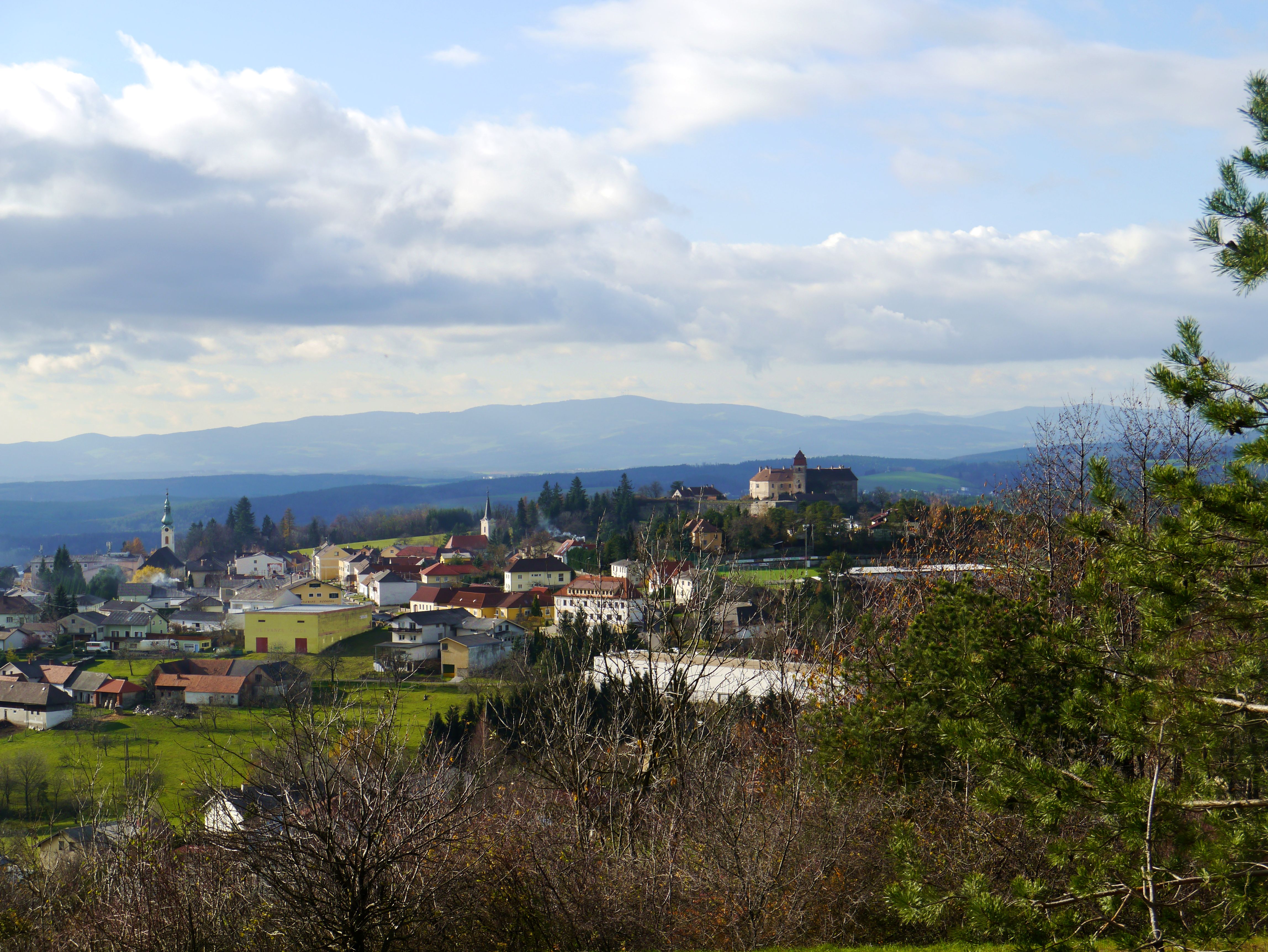
Blick auf Bernstein / View to Bernstein
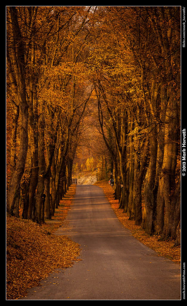
Under the Trees
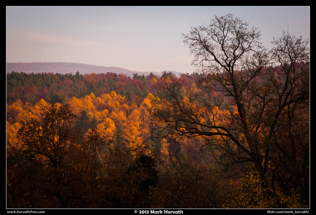
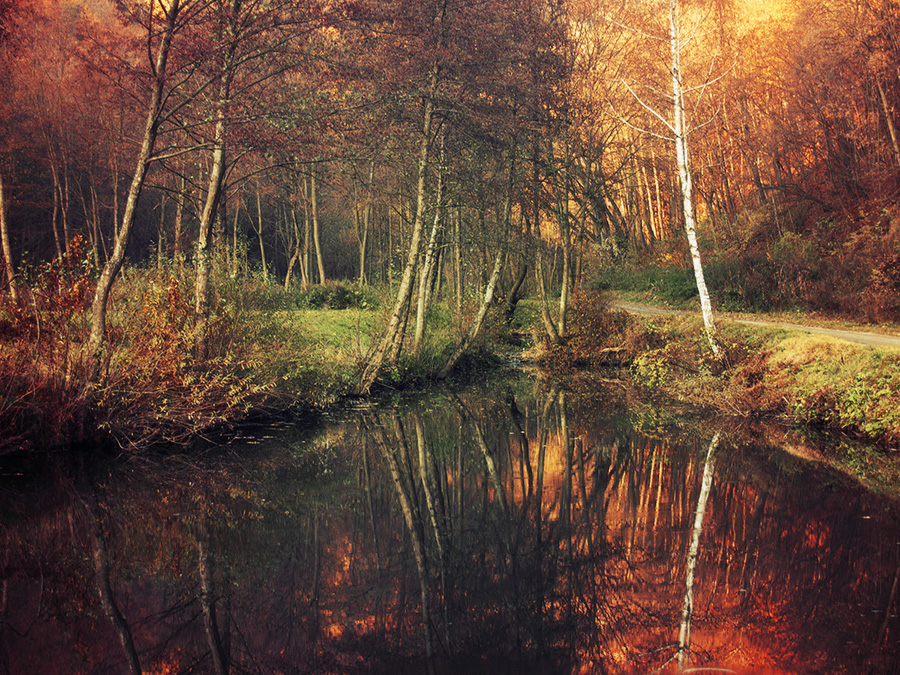
Colors of the Forest
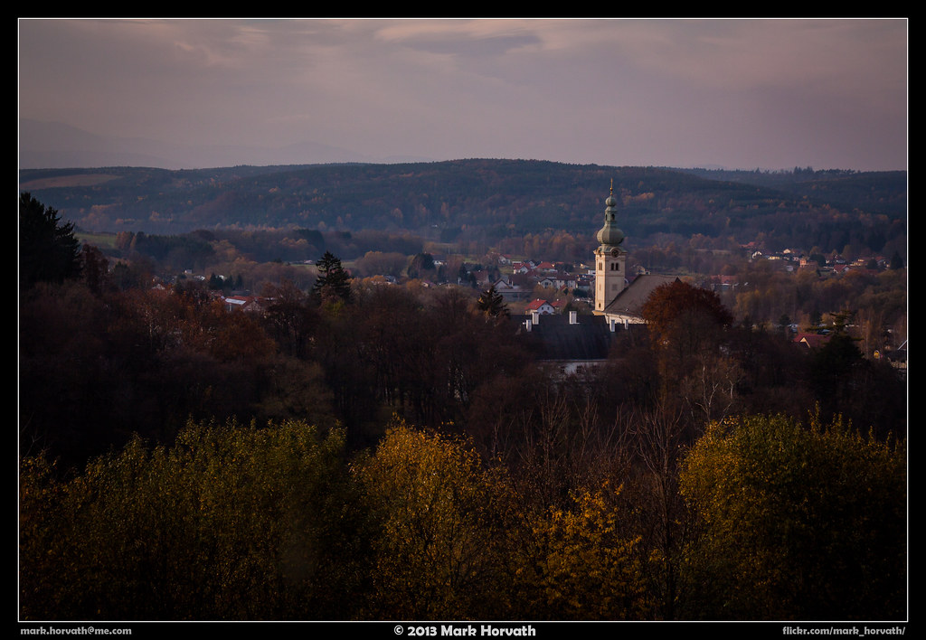
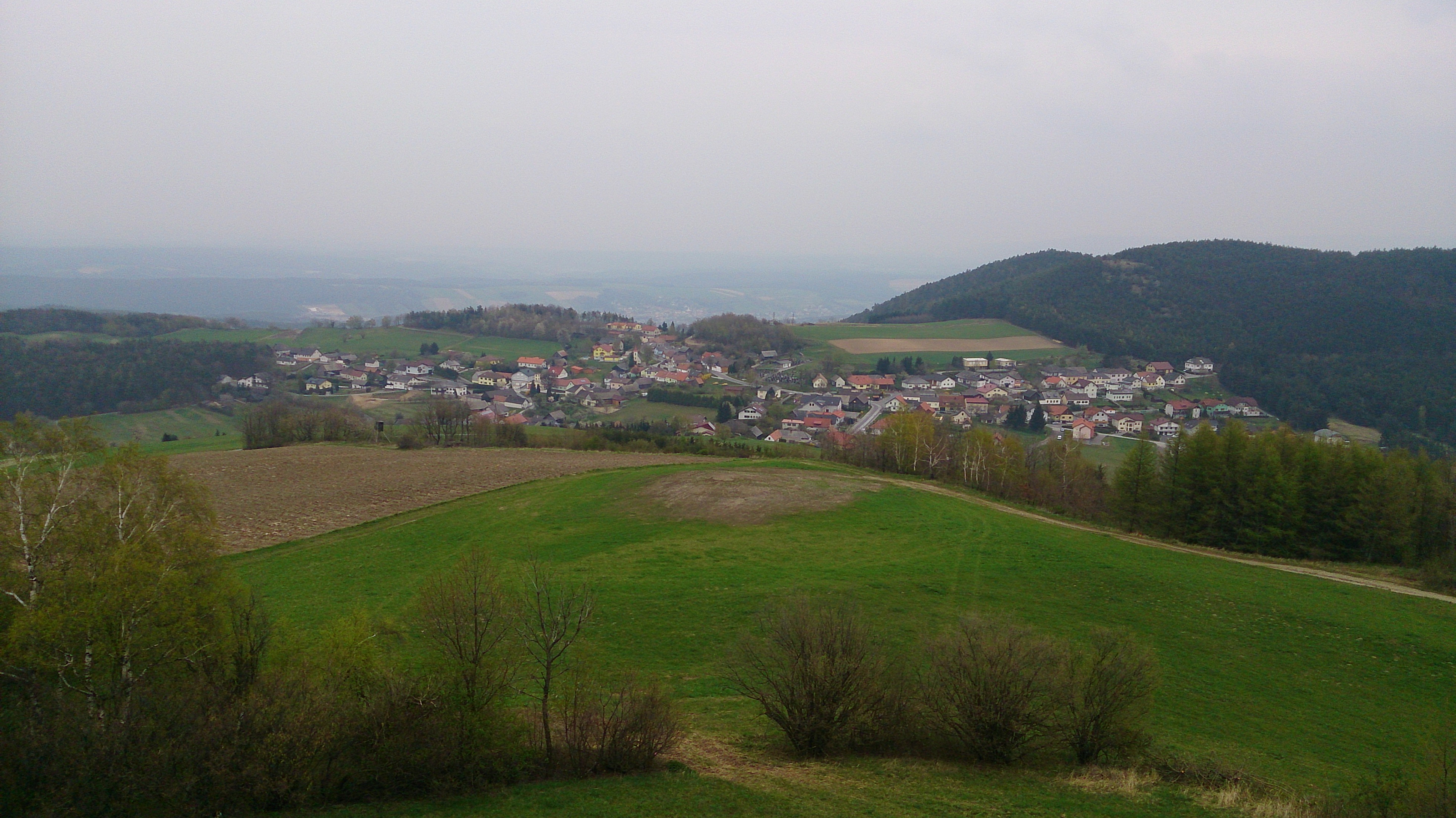
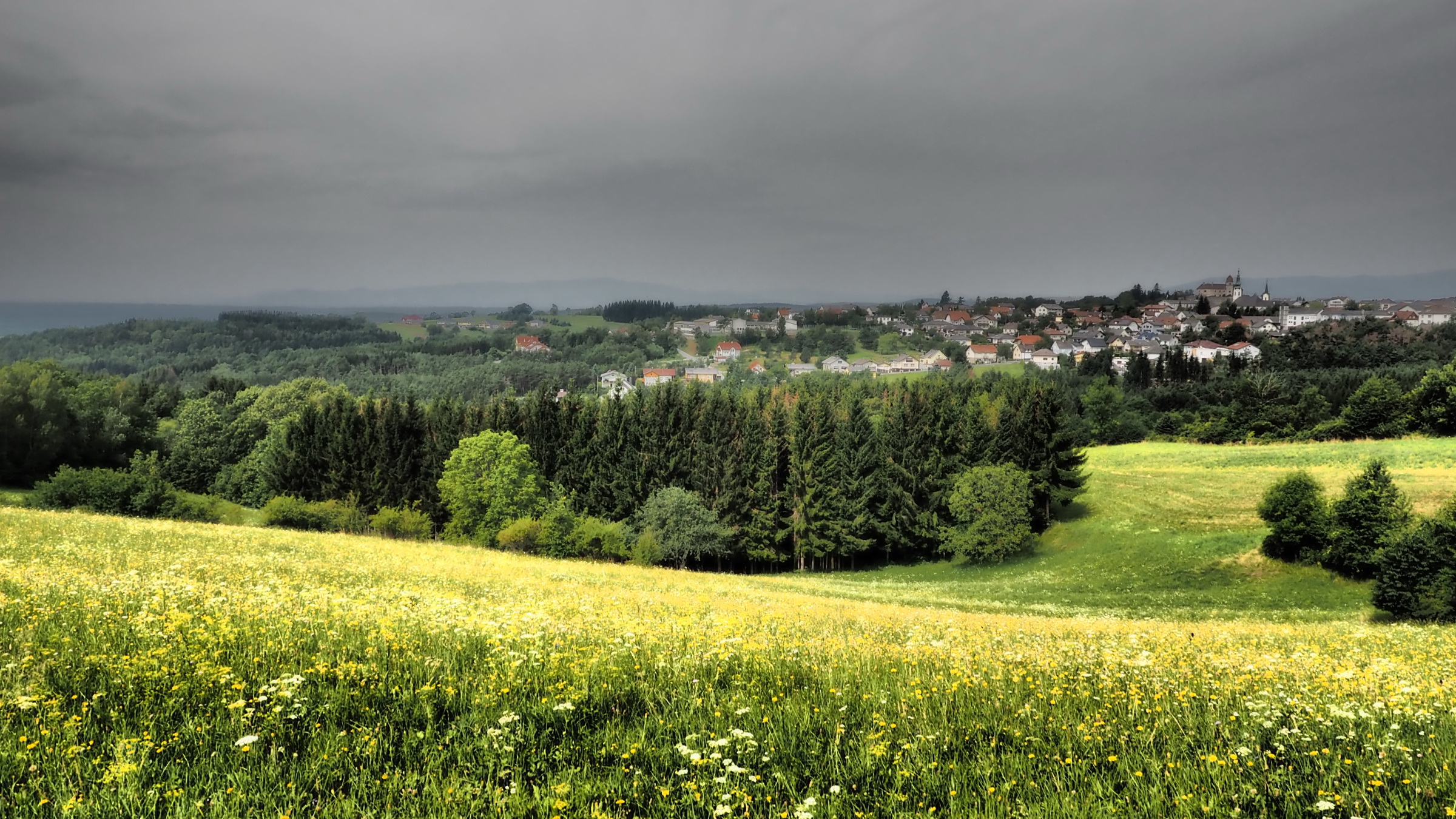
View of the Town
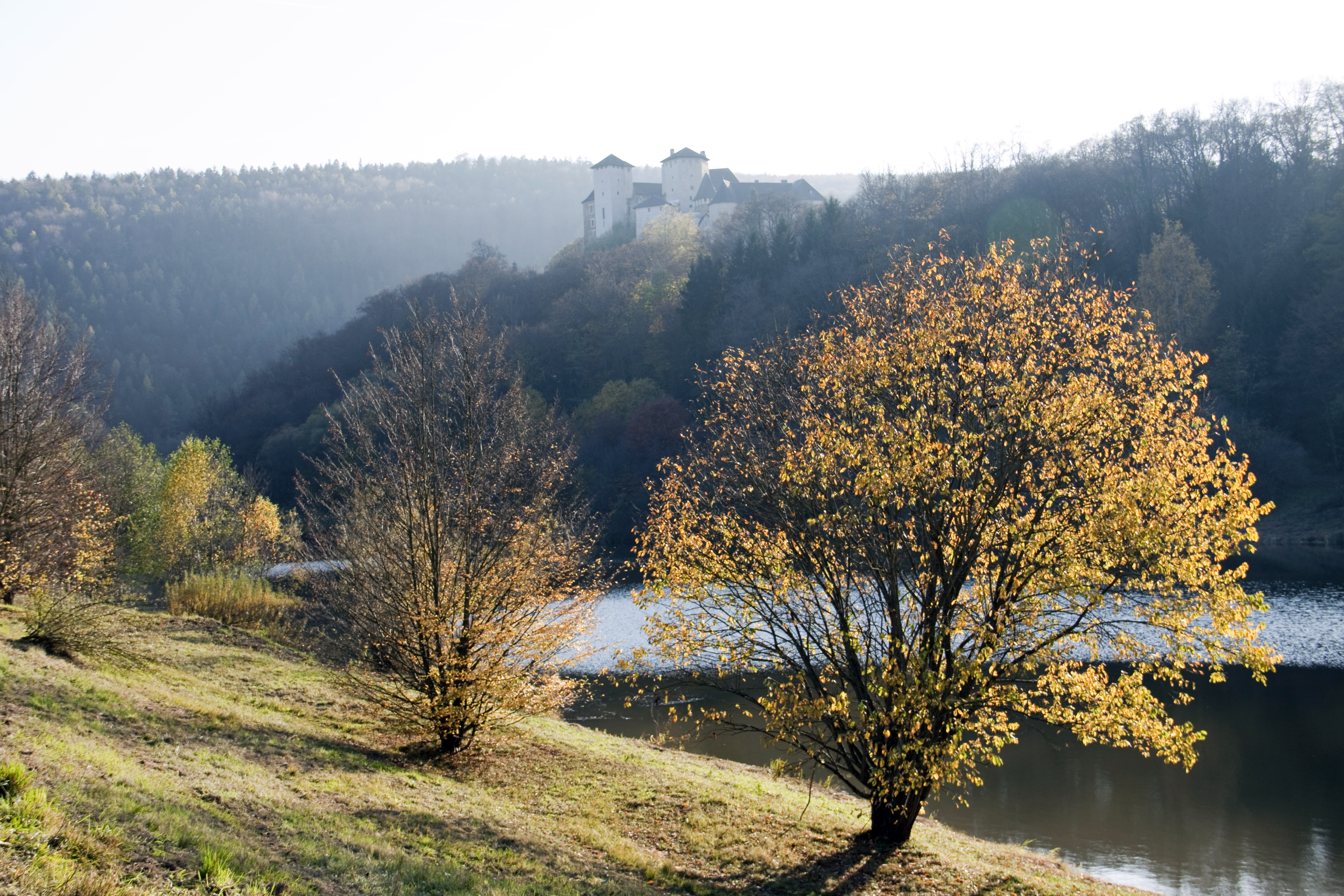
View of castle Léka / Lockenhaus
140405 nice view 02
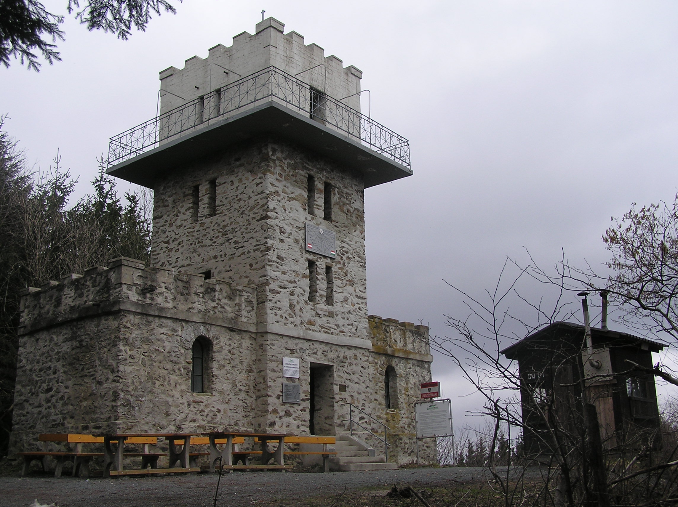
Aussichtswarte Geschriebenstein
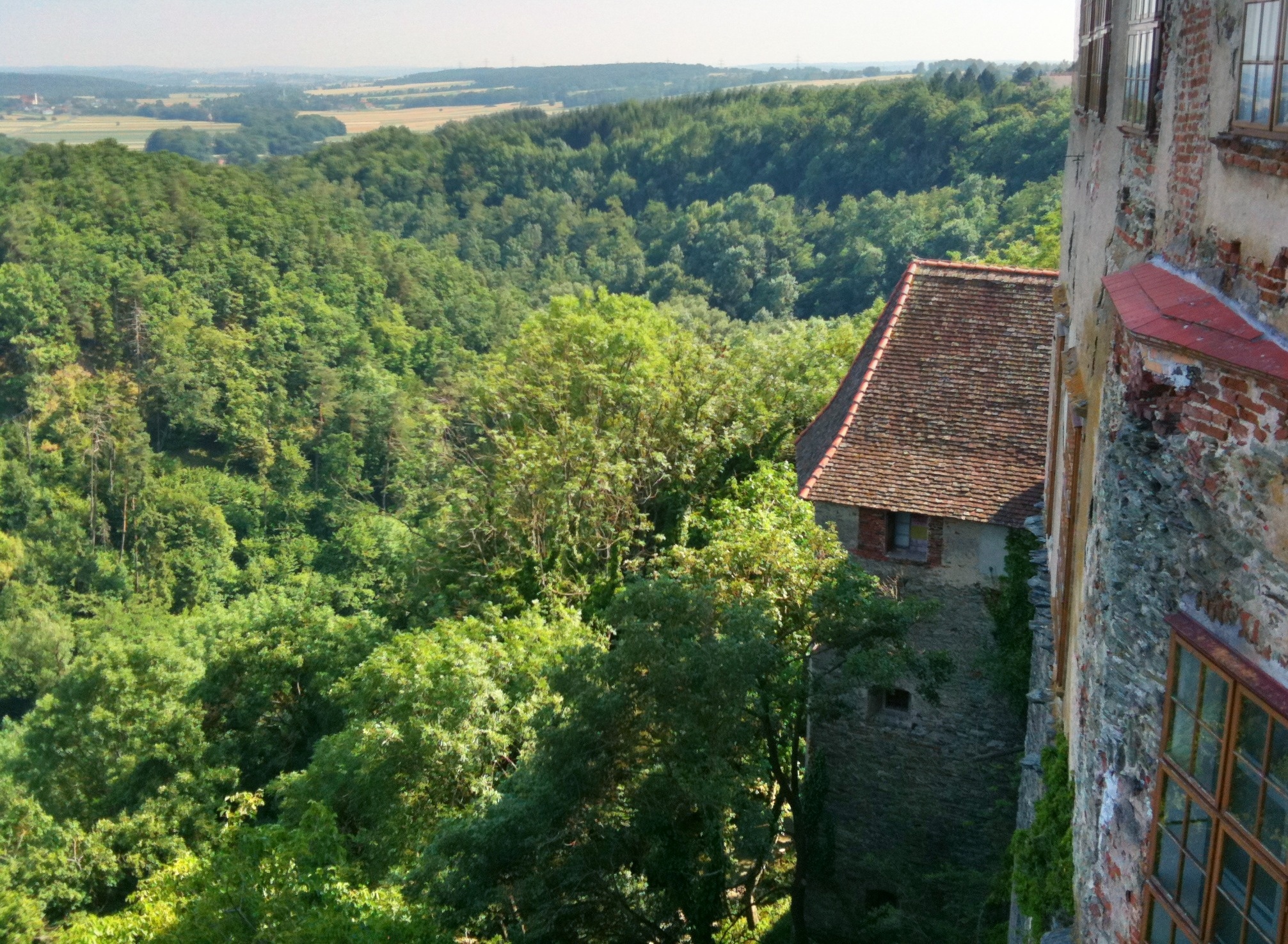
View from Burg Schlaining
panoramic view from Írottkő
View from Bernstein to the south west
Landscape near Velem, Hungary

140405 nice view 01
View from Burg Schlaining
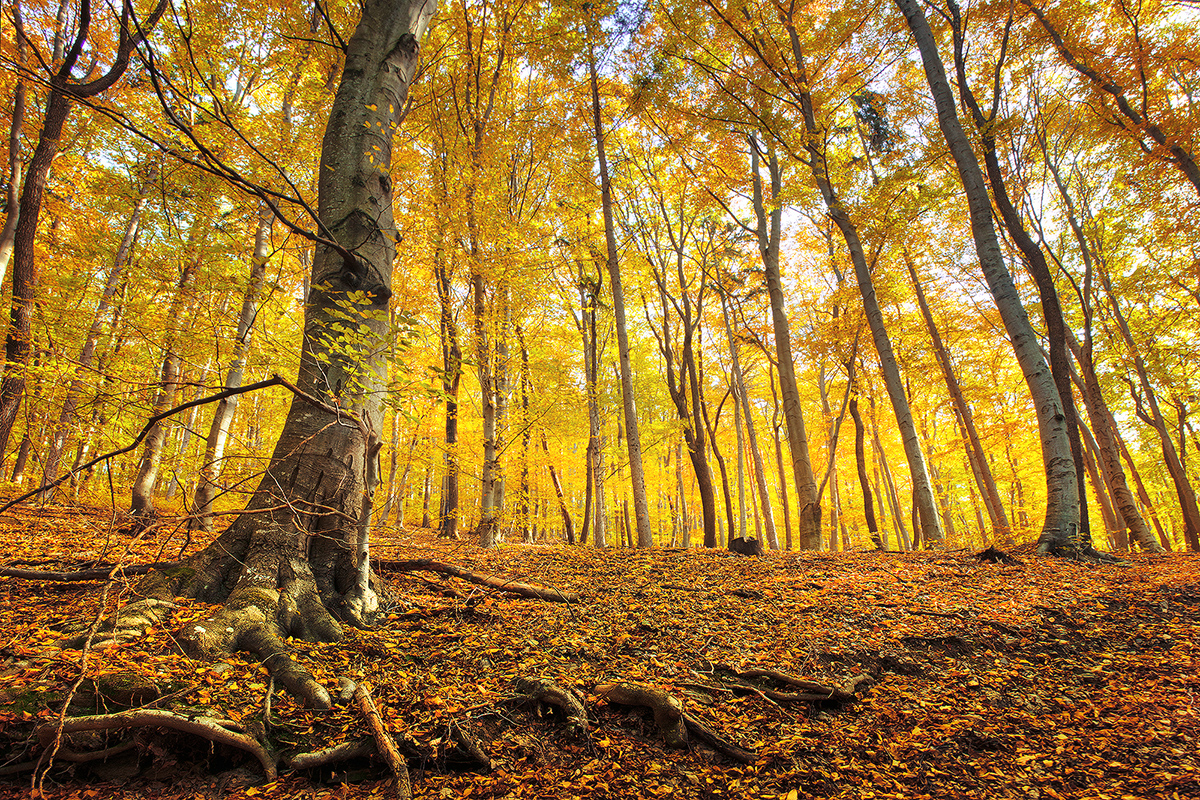
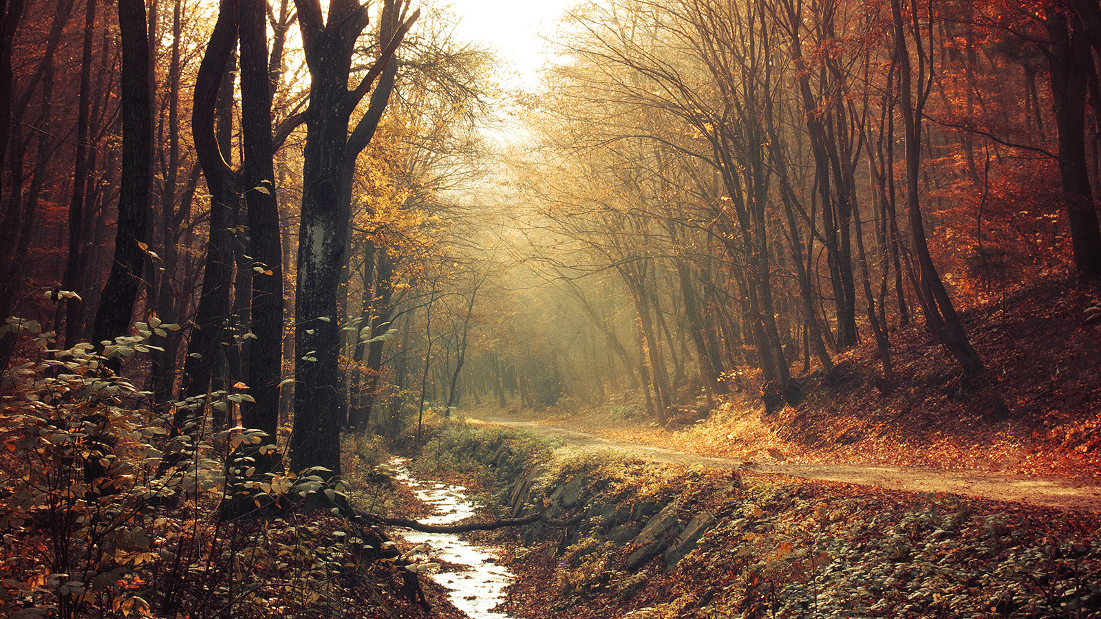
Golden Forest pt.03
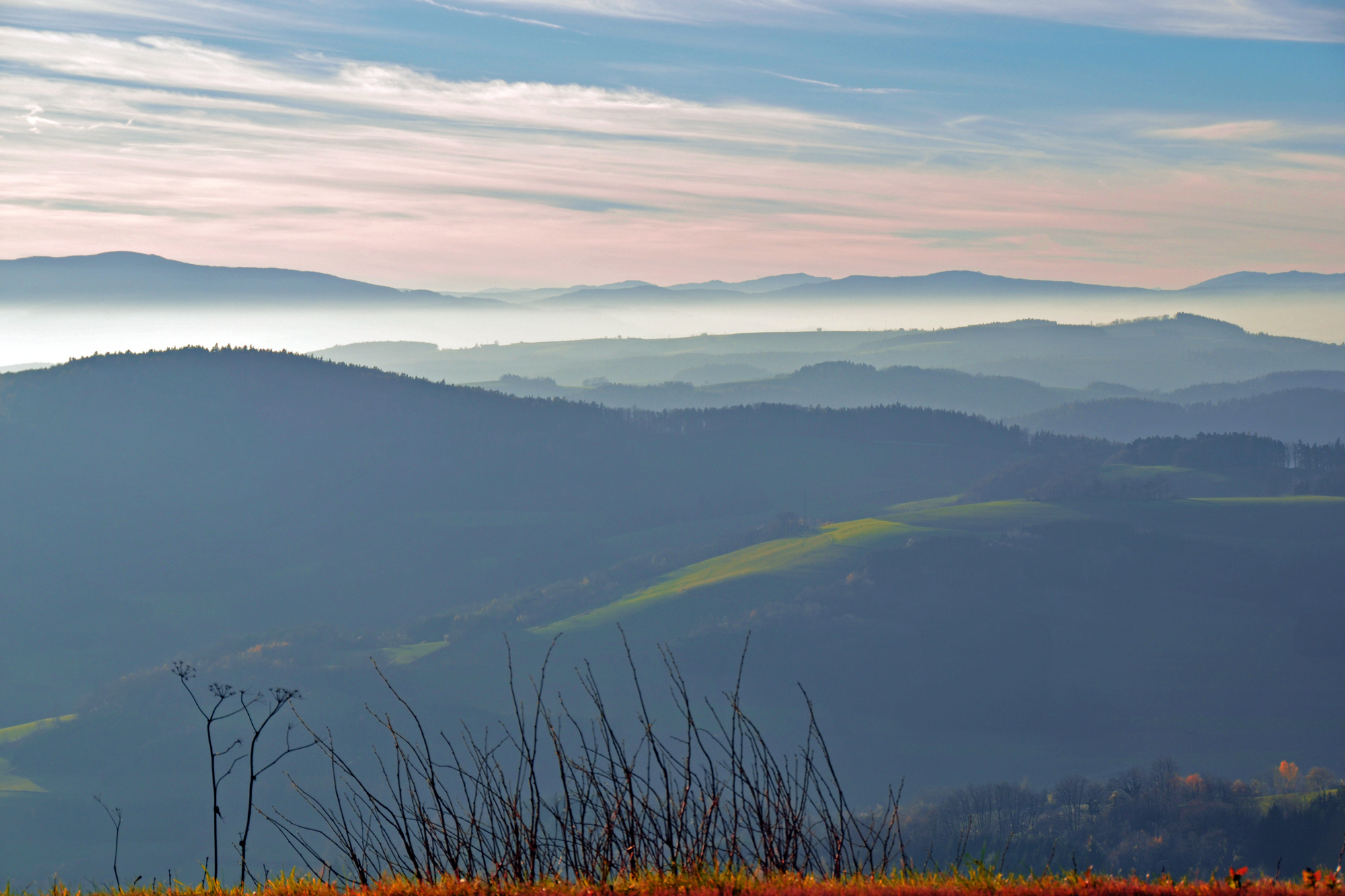
Mist over scenery
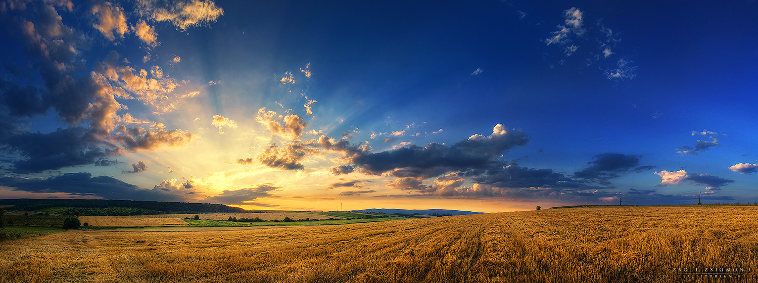
Hungarian skies pt.CXXXII.

Phot.Austria.Burgenland.Museum.01.061621.8770.jpg
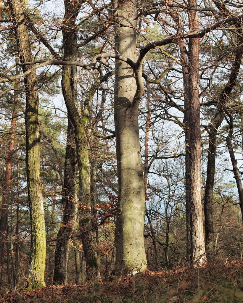
Mixed forest (47°11' N 16°24' E)

The Arcane Woods of Kendig
Red Forest pt.II.

Hungarian skies pt.CXXI.
Red Forest pt.I.

035 - Autumn Forest / Őszi erdő
Landscape 30/52
Landscape 31/52

Bundesgymnasium Oberschützen
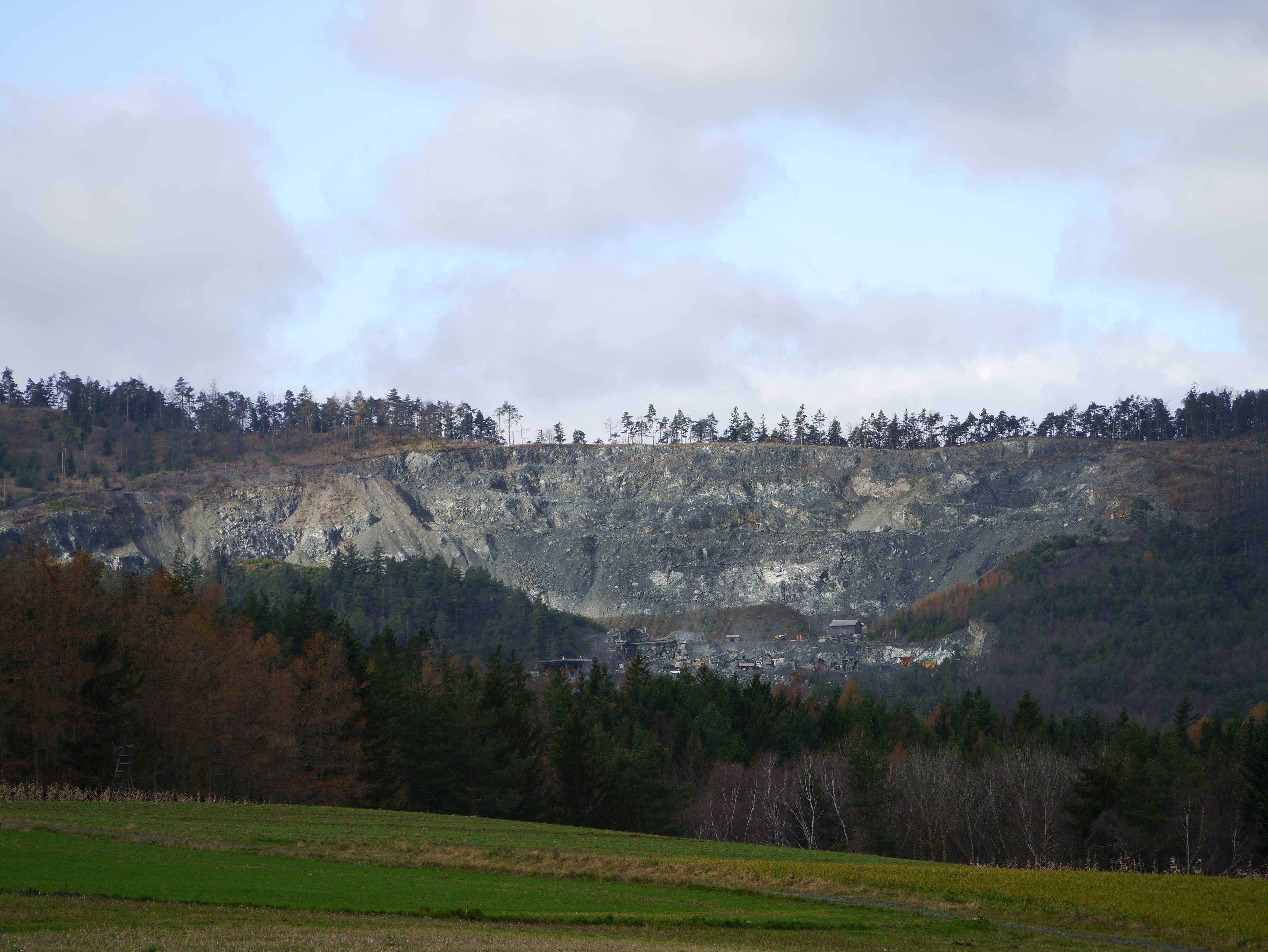
Bernstein, Serpentin Tagbau / Serpentine open mining
Topographic Map of Mönchmeierhof 27, Mönchmeierhof, Austria
Find elevation by address:

Places near Mönchmeierhof 27, Mönchmeierhof, Austria:
Allersdorf Im Burgenland
Allersdorf 13, Allersdorf im Burgenland, Austria
Neumarkt Im Tauchental
Neumarkt im Tauchental, Neumarkt im Tauchental, Austria
Grosspetersdorf
Quergasse 14, Großpetersdorf, Austria
Hochleitenstraße 1, Bernstein, Austria
Bernstein Im Burgenland
Oberwart District
Schulgasse 11, Mischendorf, Austria
Mischendorf
Schandorf 31, Schandorf, Austria
Schandorf
Gemeinde Schandorf
Burgenland
Maierhöfen 15, Maierhöfen, Austria
Gotzendorf 14, Götzendorf, Austria
Aigen 52, Aigen, Austria
Prägart 11, Krumbach, Austria
Aigen
Recent Searches:
- Elevation of Corso Fratelli Cairoli, 35, Macerata MC, Italy
- Elevation of Tallevast Rd, Sarasota, FL, USA
- Elevation of 4th St E, Sonoma, CA, USA
- Elevation of Black Hollow Rd, Pennsdale, PA, USA
- Elevation of Oakland Ave, Williamsport, PA, USA
- Elevation of Pedrógão Grande, Portugal
- Elevation of Klee Dr, Martinsburg, WV, USA
- Elevation of Via Roma, Pieranica CR, Italy
- Elevation of Tavkvetili Mountain, Georgia
- Elevation of Hartfords Bluff Cir, Mt Pleasant, SC, USA