Elevation of Grosspetersdorf, Austria
Location: Austria > Burgenland > Oberwart District >
Longitude: 16.3179334
Latitude: 47.2388886
Elevation: 311m / 1020feet
Barometric Pressure: 98KPa
Elevation Map:
Satellite Map:
Related Photos:
Aussichtswarte Geschriebenstein
View from Burg Schlaining
panoramic view from Írottkő
View from Burg Schlaining

Hungarian skies pt.CXXXII.
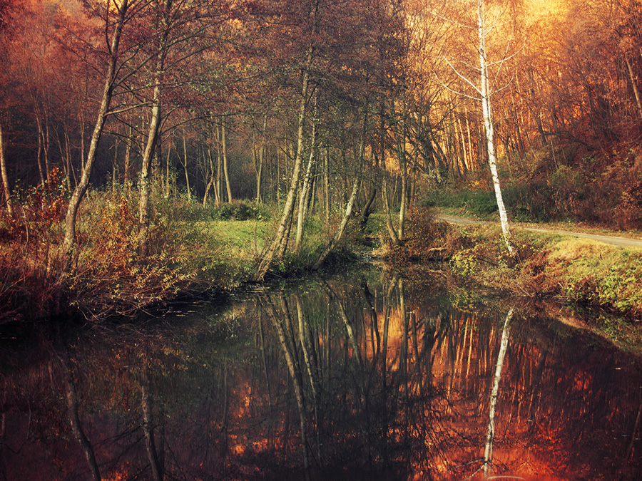
Red Forest pt.II.

Hungarian skies pt.CXXI.

Red Forest pt.I.

this sunrise Is on track...
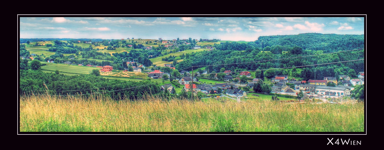
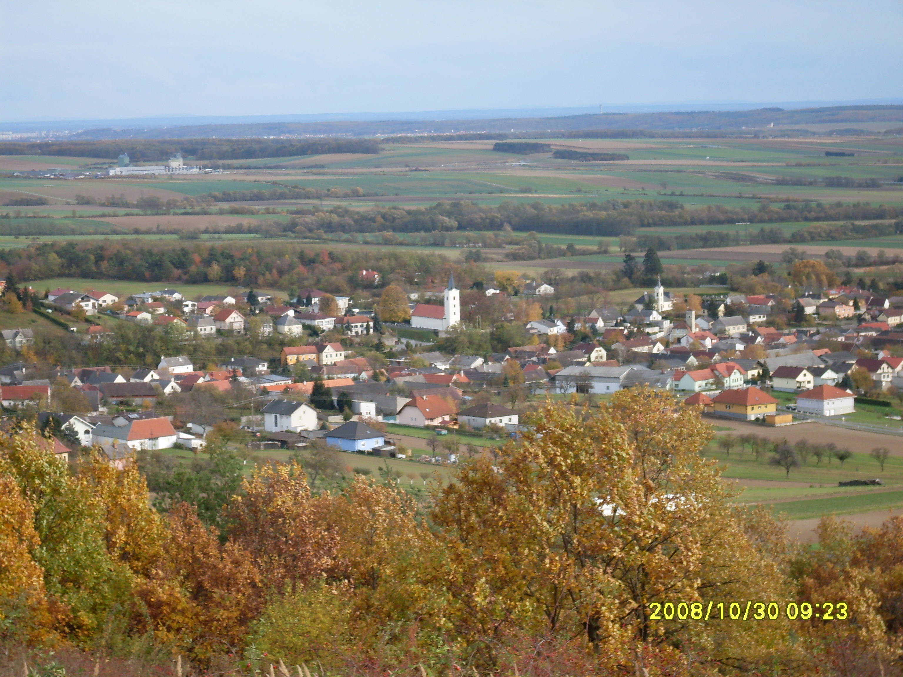
Olbendorf Panorama
246140900416717227_1286054320160121-32191-97xr1u
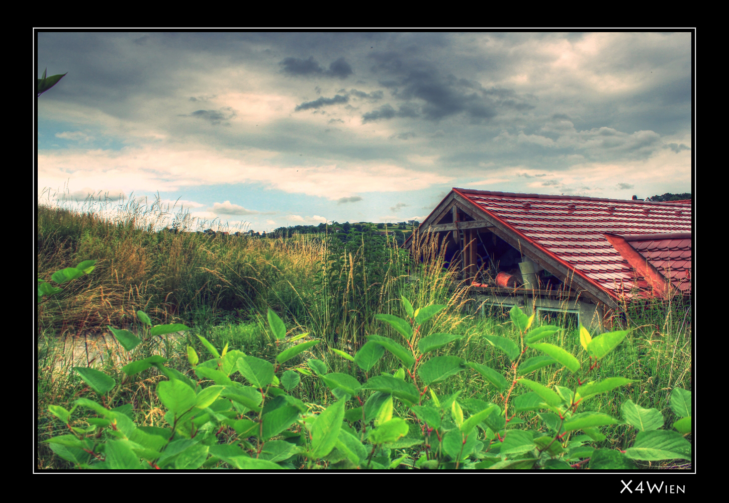
Zugewachsener Garten

Bundesgymnasium Oberschützen

mono sunrise

Phot.Austria.Burgenland.Museum.01.061621.8770.jpg
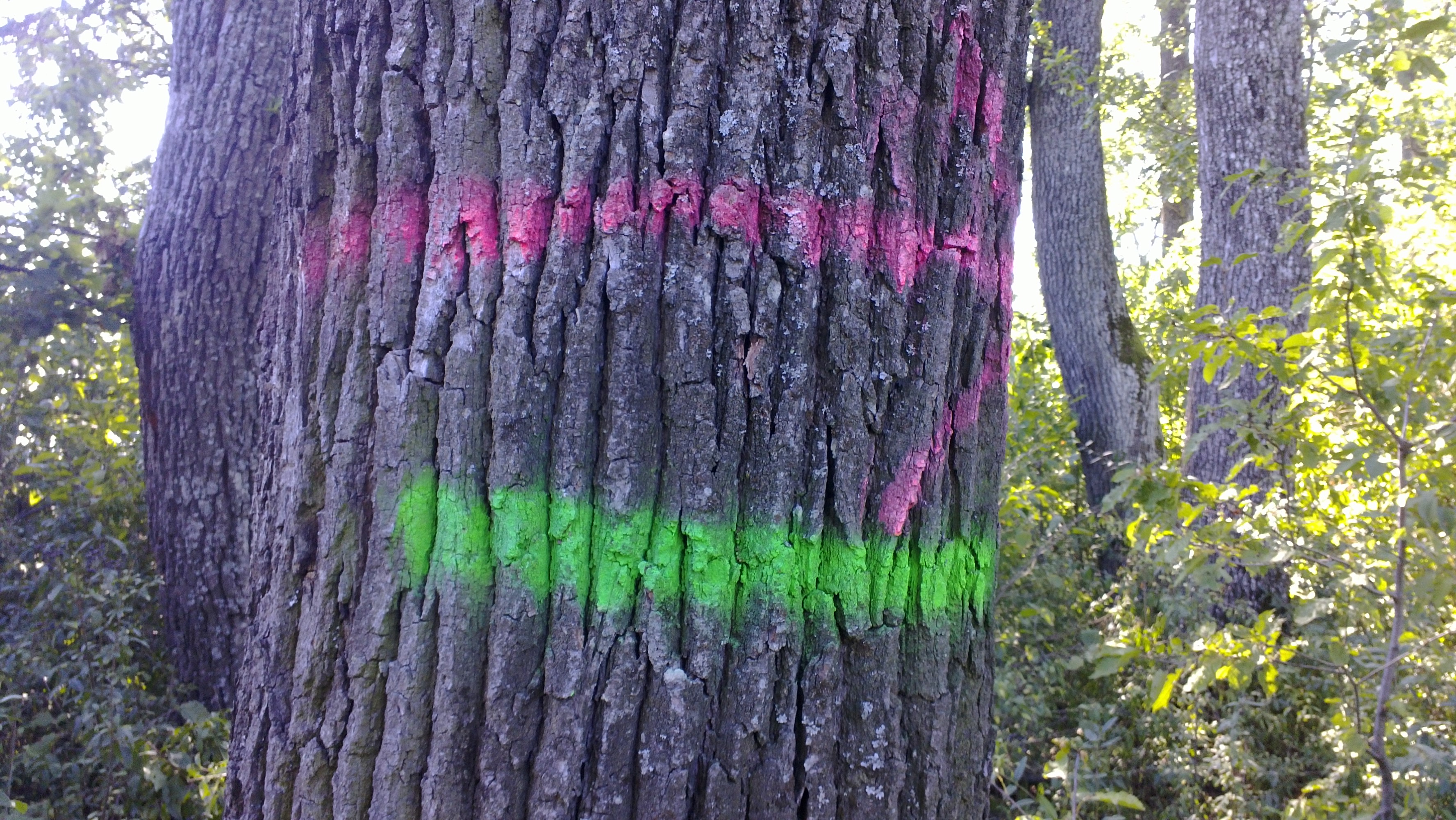
rot-grün

Letzte Einstellung.
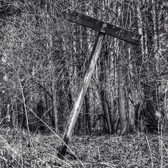
the journey is the reward - path to nowhere
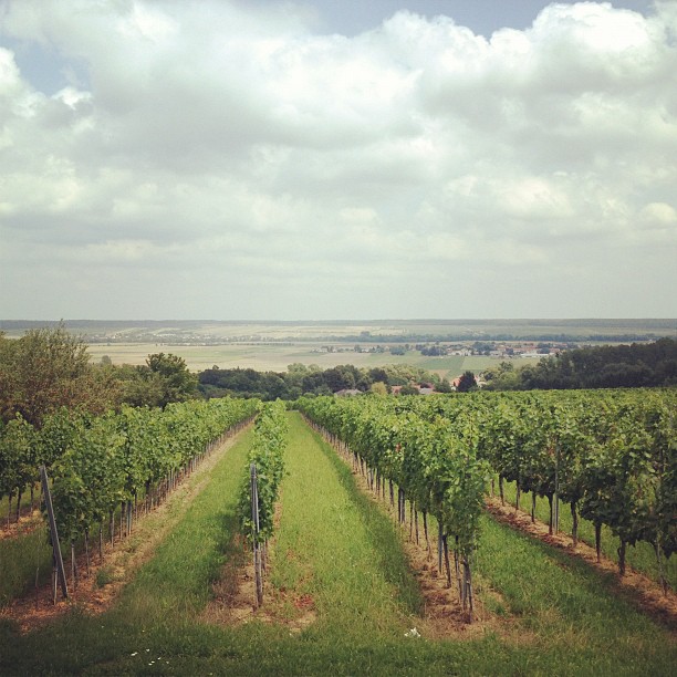
Weinberg Neuhodis von Karl Barthl

Therme Hotel

Am Feldweg
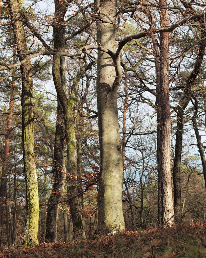
Mixed forest (47°11' N 16°24' E)

golfen bad tatzmannsdorf
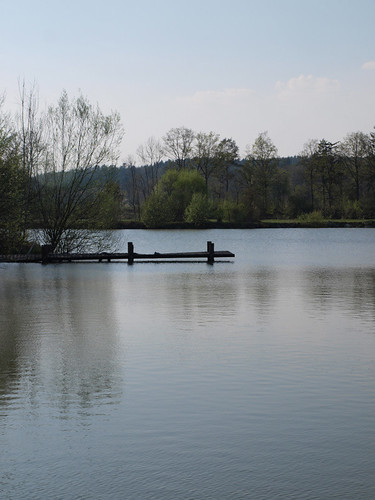
Fischteich Rotenturm/Oberdorf
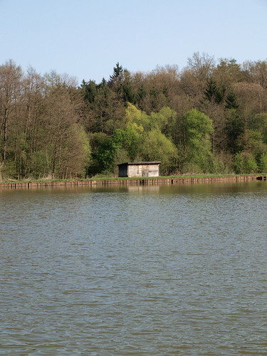
Fischteich Rotenturm/Oberdorf
Topographic Map of Grosspetersdorf, Austria
Find elevation by address:

Places in Grosspetersdorf, Austria:
Places near Grosspetersdorf, Austria:
Quergasse 14, Großpetersdorf, Austria
Neumarkt im Tauchental, Neumarkt im Tauchental, Austria
Mischendorf
Schulgasse 11, Mischendorf, Austria
Neumarkt Im Tauchental
Allersdorf 13, Allersdorf im Burgenland, Austria
Allersdorf Im Burgenland
Mönchmeierhof 27, Mönchmeierhof, Austria
Burgenland
Schandorf 31, Schandorf, Austria
Schandorf
Gemeinde Schandorf
Punitz 53, Punitz, Austria
Oberwart District
Hochleitenstraße 1, Bernstein, Austria
Bernstein Im Burgenland
Güssing District
Güssing
Eberau
Hauptpl. 21, Eberau, Austria
Recent Searches:
- Elevation of Corso Fratelli Cairoli, 35, Macerata MC, Italy
- Elevation of Tallevast Rd, Sarasota, FL, USA
- Elevation of 4th St E, Sonoma, CA, USA
- Elevation of Black Hollow Rd, Pennsdale, PA, USA
- Elevation of Oakland Ave, Williamsport, PA, USA
- Elevation of Pedrógão Grande, Portugal
- Elevation of Klee Dr, Martinsburg, WV, USA
- Elevation of Via Roma, Pieranica CR, Italy
- Elevation of Tavkvetili Mountain, Georgia
- Elevation of Hartfords Bluff Cir, Mt Pleasant, SC, USA