Elevation of Lowland, NC, USA
Location: United States > North Carolina > Pamlico County > >
Longitude: -76.564371
Latitude: 35.2990556
Elevation: 1m / 3feet
Barometric Pressure: 101KPa
Elevation Map:
Satellite Map:
Related Photos:
View from the river

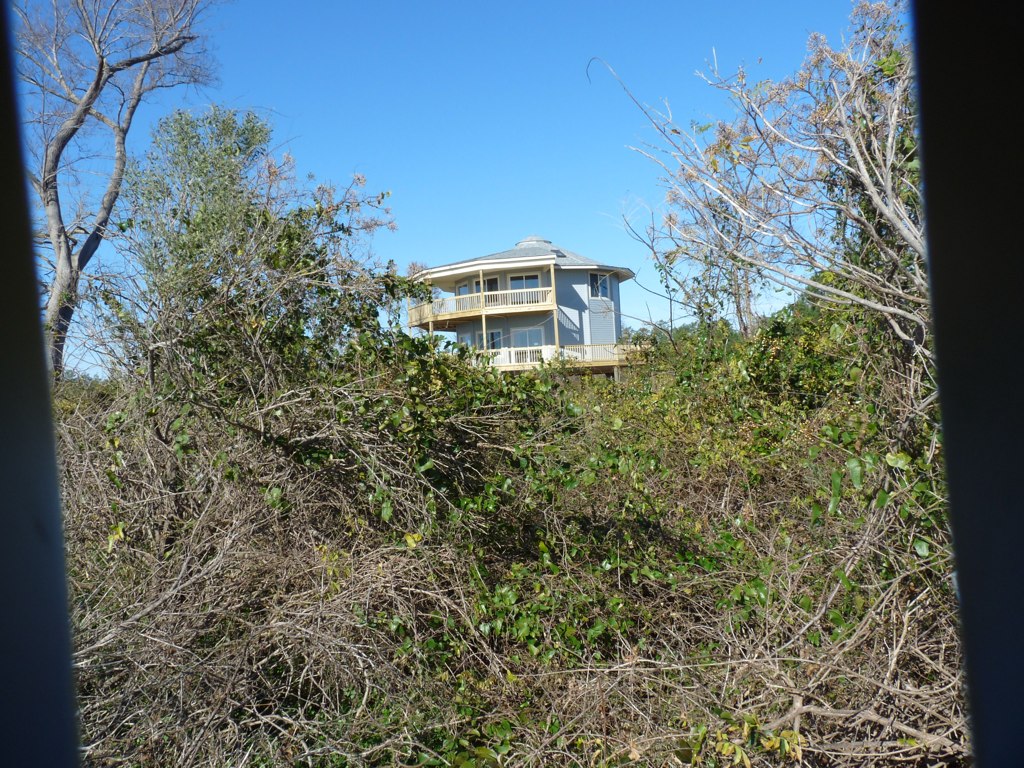
IMAG0053 (Medium)

Rise and shine, happy campers.
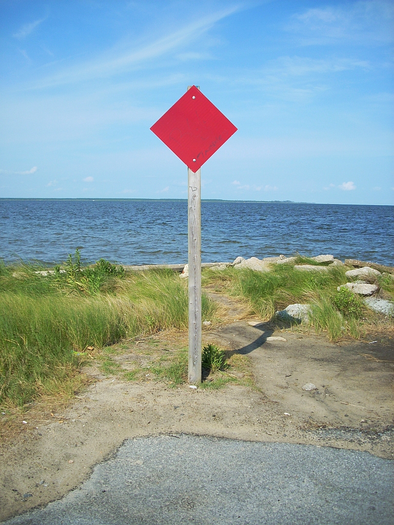
dead end
Topographic Map of Lowland, NC, USA
Find elevation by address:

Places near Lowland, NC, USA:
4568 Lowland Rd
51 Watson Rd
Middle Prong Rd, Hobucken, NC, USA
Lowland Road
15347 Nc-304 #33
15347 Nc-304 #33
Hobucken
4, NC, USA
103 Carrie Creek Dr
275 Breeze Way
Pamlico Riverside Drive
Strawhorn Creek Road
165 Lewis Rd
165 State Rd 1964
10450 Nc-304
219 Tate Landing Rd
889 Upper Neck Rd
Mesic
Old Pamlico Beach Road West
8275 Nc-304
Recent Searches:
- Elevation of Corso Fratelli Cairoli, 35, Macerata MC, Italy
- Elevation of Tallevast Rd, Sarasota, FL, USA
- Elevation of 4th St E, Sonoma, CA, USA
- Elevation of Black Hollow Rd, Pennsdale, PA, USA
- Elevation of Oakland Ave, Williamsport, PA, USA
- Elevation of Pedrógão Grande, Portugal
- Elevation of Klee Dr, Martinsburg, WV, USA
- Elevation of Via Roma, Pieranica CR, Italy
- Elevation of Tavkvetili Mountain, Georgia
- Elevation of Hartfords Bluff Cir, Mt Pleasant, SC, USA