Elevation of Lowes Gap Rd, Pikeville, TN, USA
Location: United States > Tennessee > Bledsoe County > Pikeville >
Longitude: -85.034936
Latitude: 35.7381922
Elevation: 295m / 968feet
Barometric Pressure: 98KPa
Elevation Map:
Satellite Map:
Related Photos:

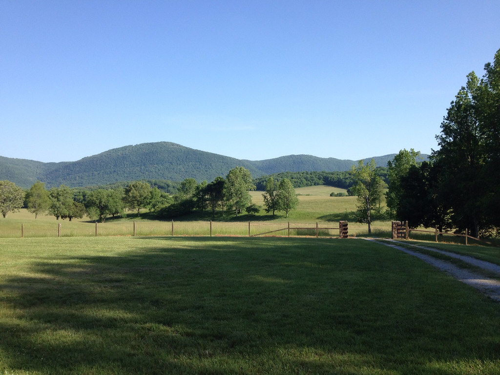
Balcony View

Piney River, Piney River Management Area, Cumberland Trail State Scenic Trail, Rhea County, Tennessee 1
Stinging Fork Falls, Stinging Fork, Stinging Fork Falls State Natural Area, Walden Ridge, Rhea County, Tennessee 1

Sequatchie valley

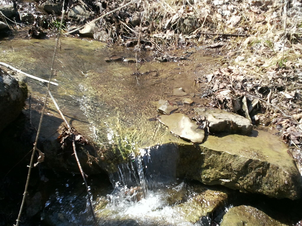
Sequatchie Creek

Comb Graves
Stinging Fork Falls

Peace of the Forest
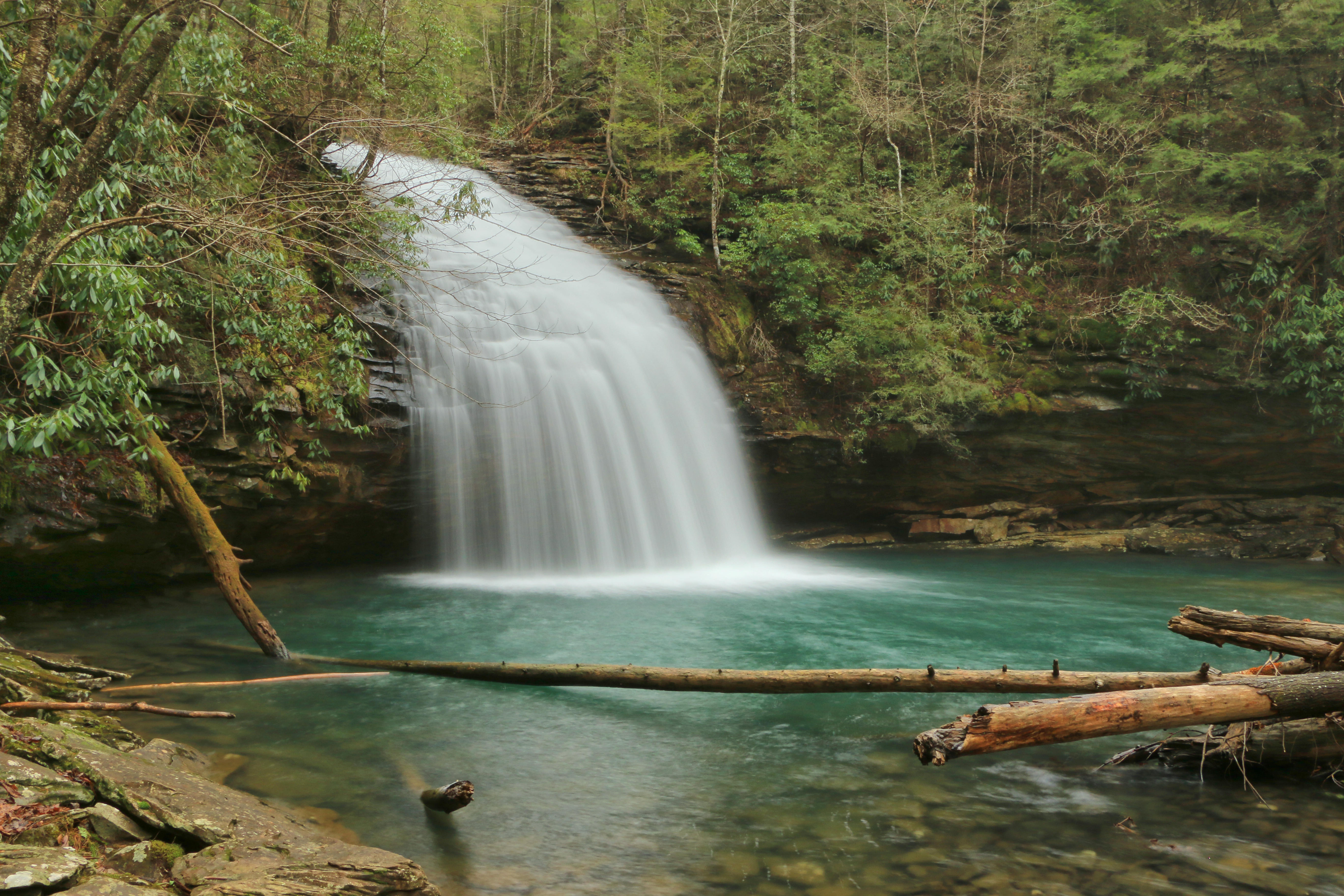
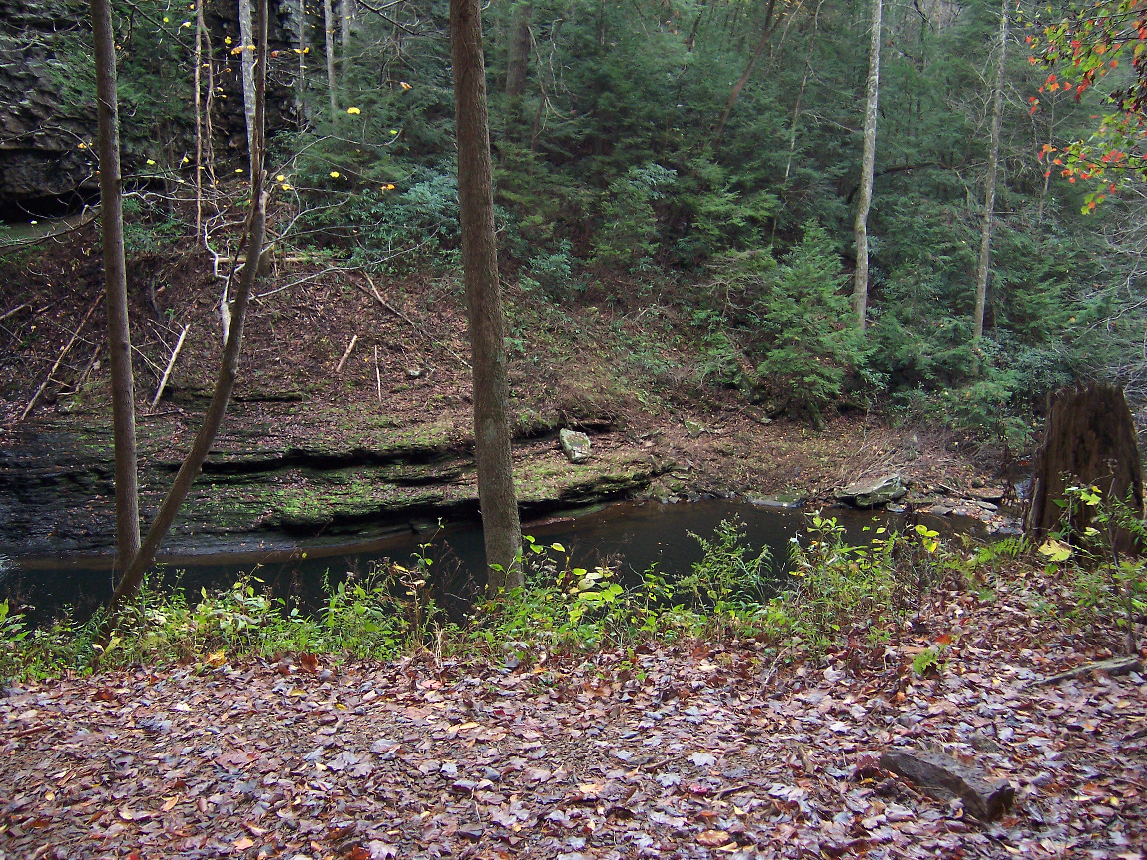
Piney Creek 13

Beyond the Blue

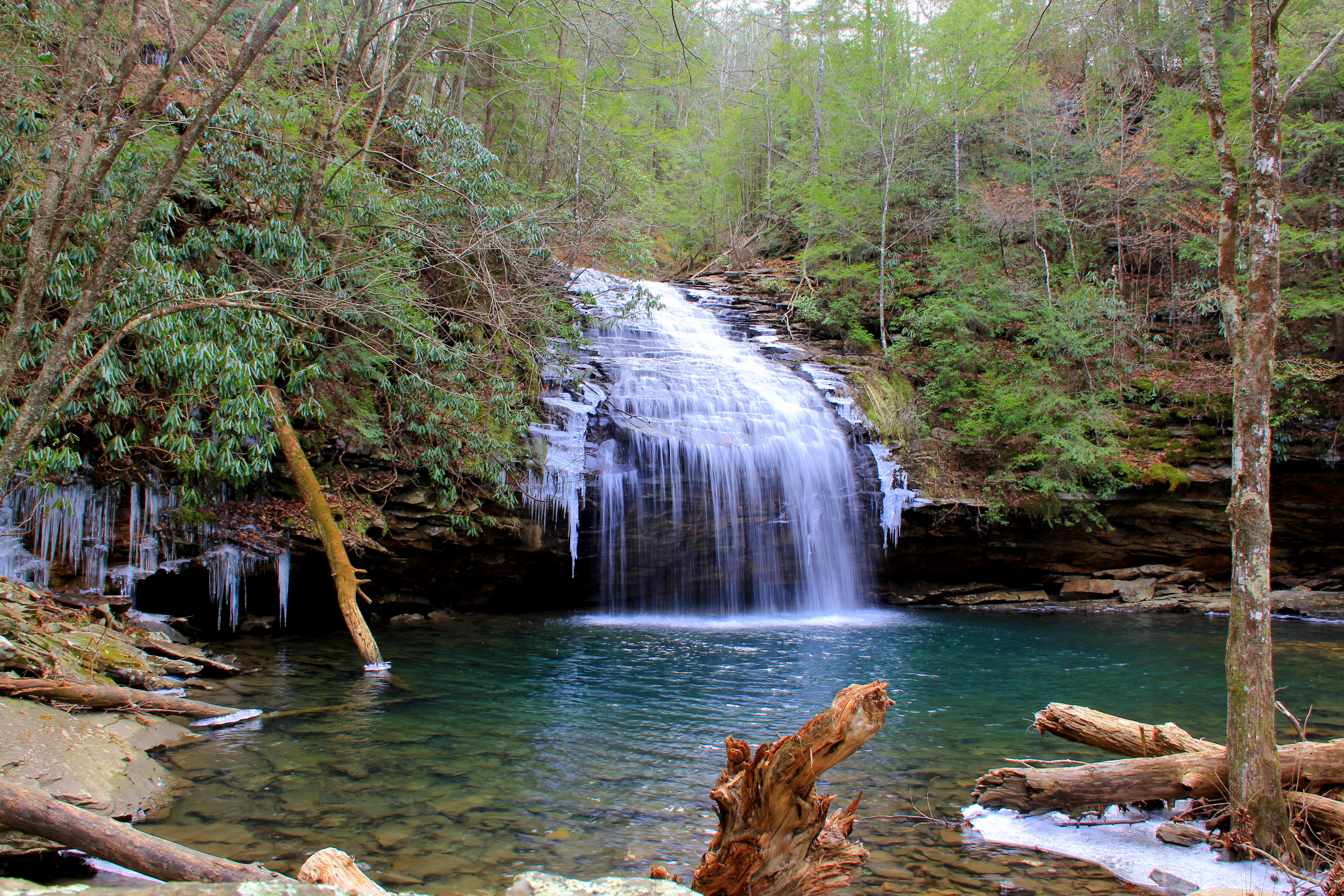
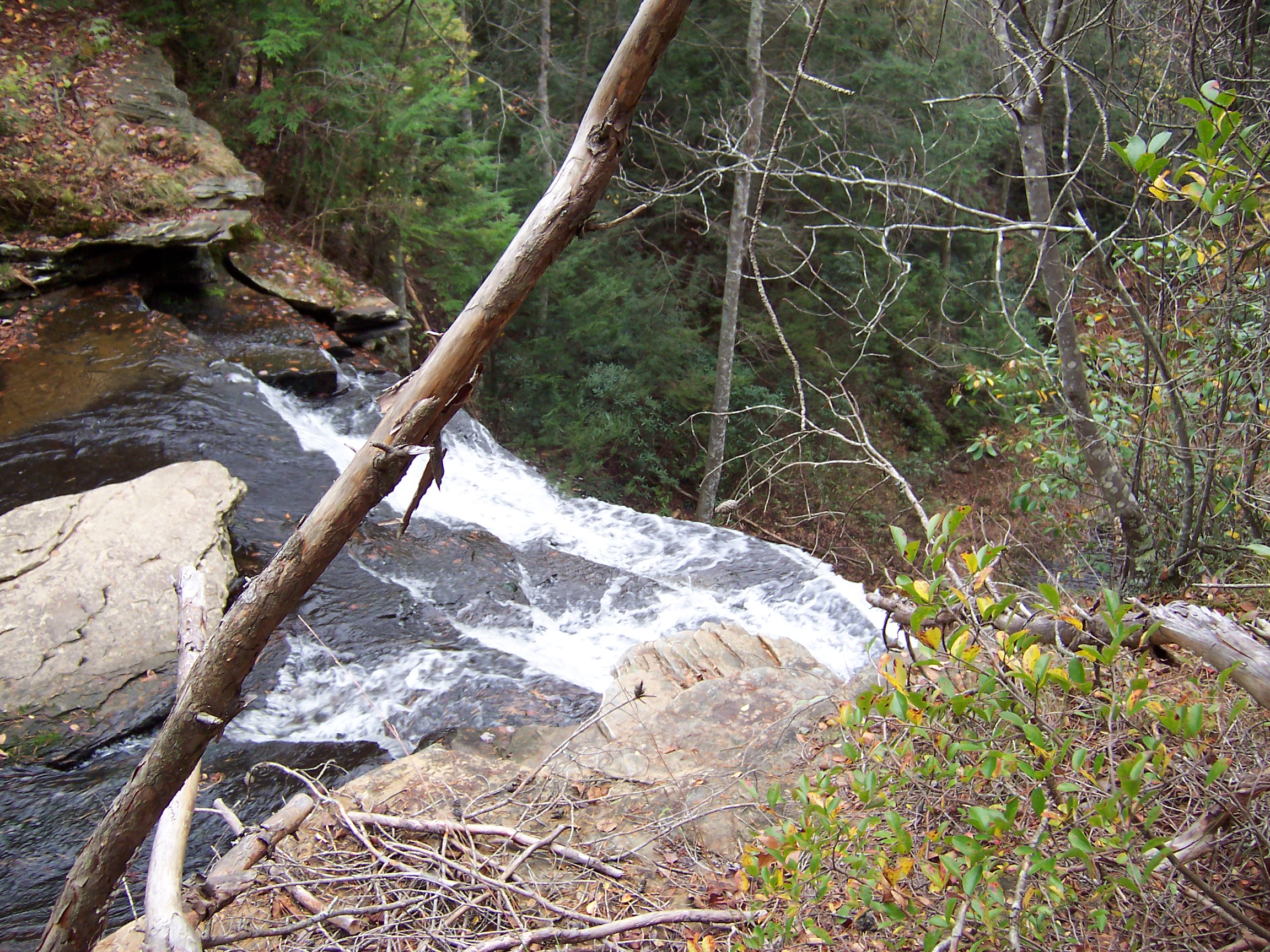
Piney Creek 19

Sunset: Take Two

Sunset on the Lake
Piney Creek 17
Down on the Farm
2011-03-12 13.23.45
Piney Creek 9

Photo by Jenna
Piney Creek 5
Piney Creek 29
Piney Creek 31
Topographic Map of Lowes Gap Rd, Pikeville, TN, USA
Find elevation by address:

Places near Lowes Gap Rd, Pikeville, TN, USA:
13807 Upper East Valley Rd
Melvine
49 Big Ridge Dr
Big Ridge Road
Shady Oaks Drive
68 Dorr Rd
630 Browns Gap Rd
690 Chestnut Ridge Rd
88 Kelsie Ln
Maple Street
299 S Summerhaven Dr
133 Basses Creek Ln
Dunbar Road
2822 Shut In Gap Rd
697 Highland Rd
WATTS BAR DAM, TN, USA
631 Wayne Smith Rd
7247 Wassom Memorial Hwy
10961 Tn-68
Alloway
Recent Searches:
- Elevation of Corso Fratelli Cairoli, 35, Macerata MC, Italy
- Elevation of Tallevast Rd, Sarasota, FL, USA
- Elevation of 4th St E, Sonoma, CA, USA
- Elevation of Black Hollow Rd, Pennsdale, PA, USA
- Elevation of Oakland Ave, Williamsport, PA, USA
- Elevation of Pedrógão Grande, Portugal
- Elevation of Klee Dr, Martinsburg, WV, USA
- Elevation of Via Roma, Pieranica CR, Italy
- Elevation of Tavkvetili Mountain, Georgia
- Elevation of Hartfords Bluff Cir, Mt Pleasant, SC, USA