Elevation of Lower Yorktown Dr, Locust Grove, AR, USA
Location: United States > Arkansas > Stone County > Marcella Township >
Longitude: -91.839419
Latitude: 35.7499448
Elevation: 79m / 259feet
Barometric Pressure: 100KPa
Elevation Map:
Satellite Map:
Related Photos:
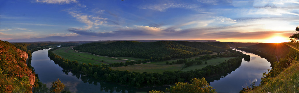
A Bend in the River a view from Painters Bluff in Arkansas (Press "L")
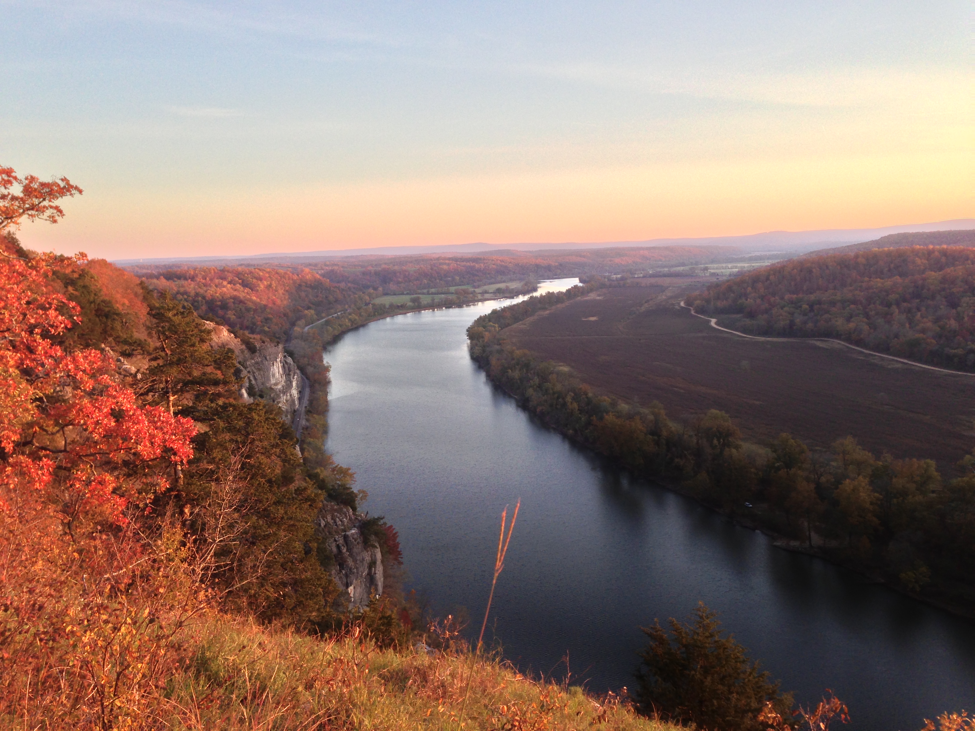
2012-11-04 024
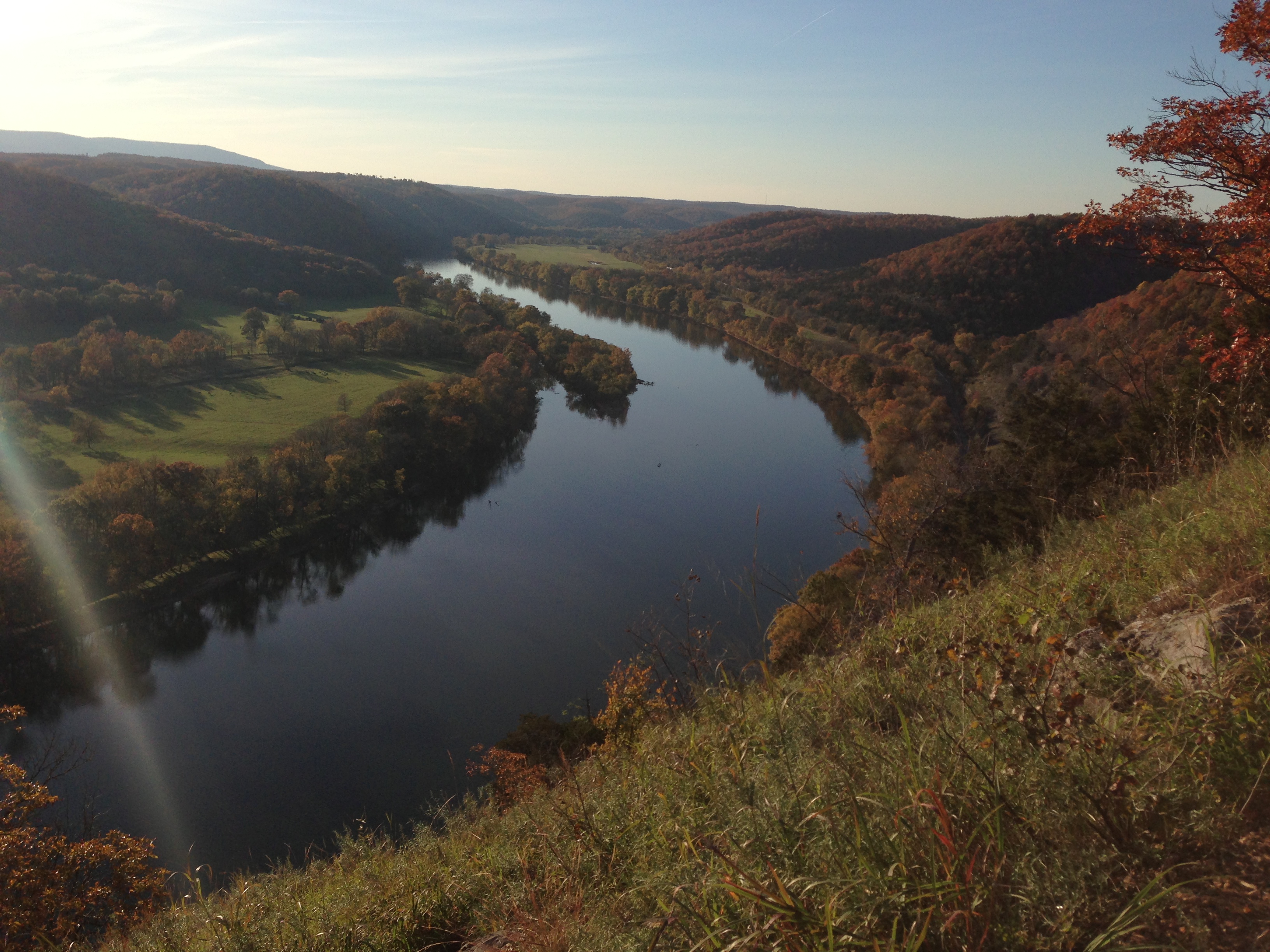
2012-11-04 008

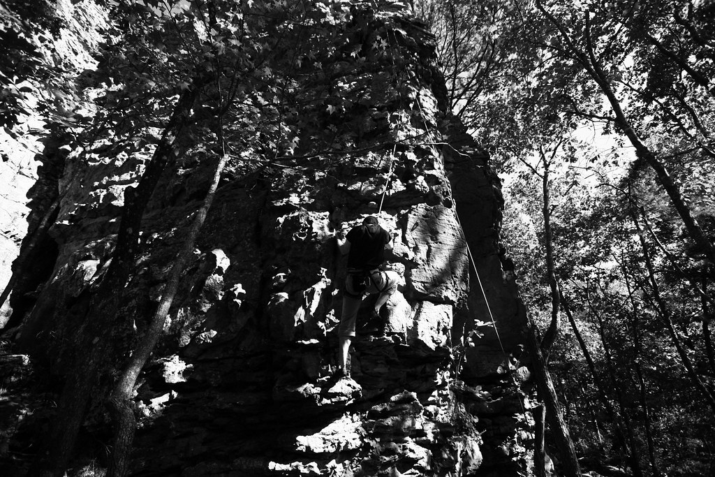
2012-11-04 006
IMG_0185.JPG
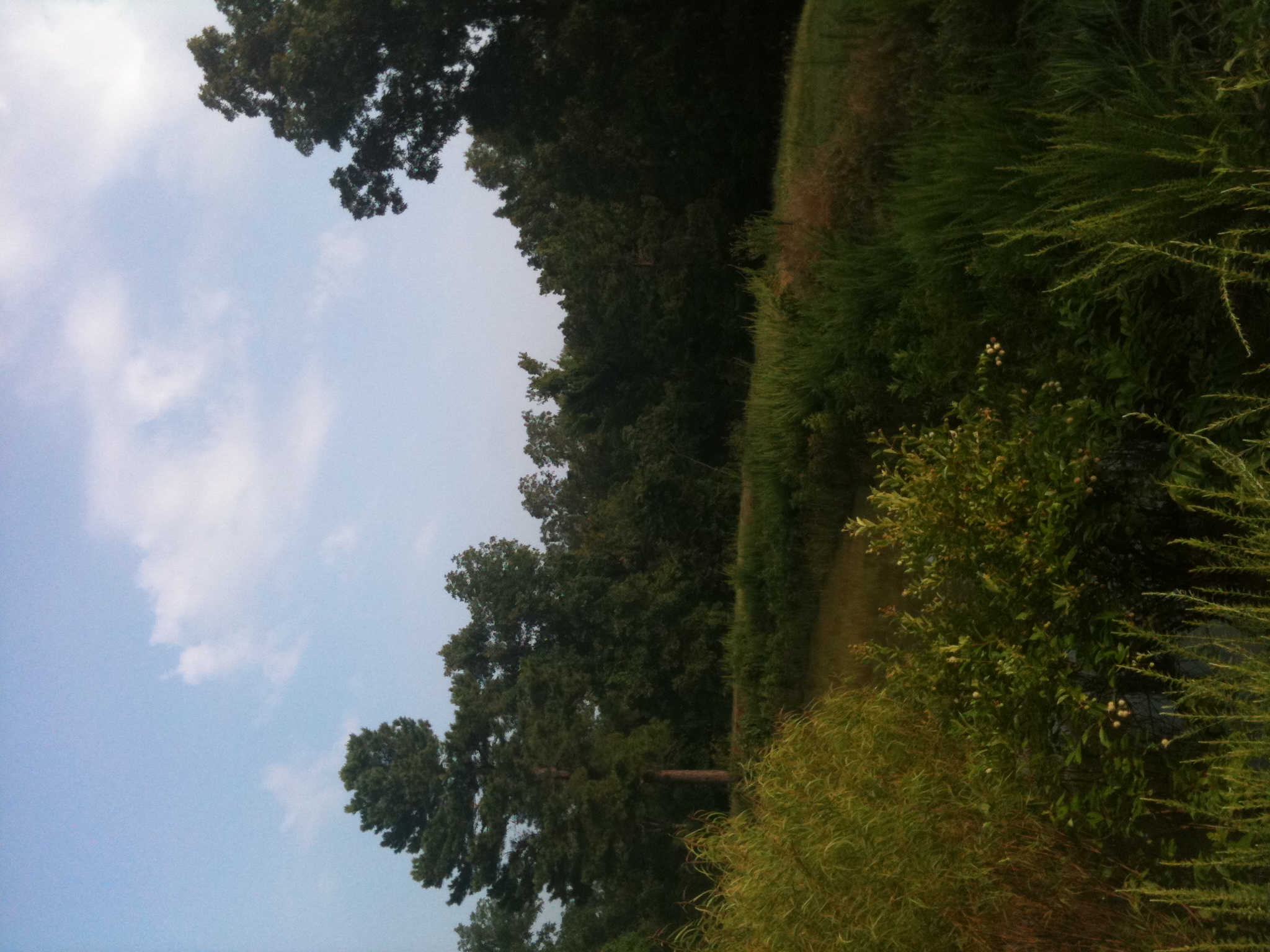
Country Paradise
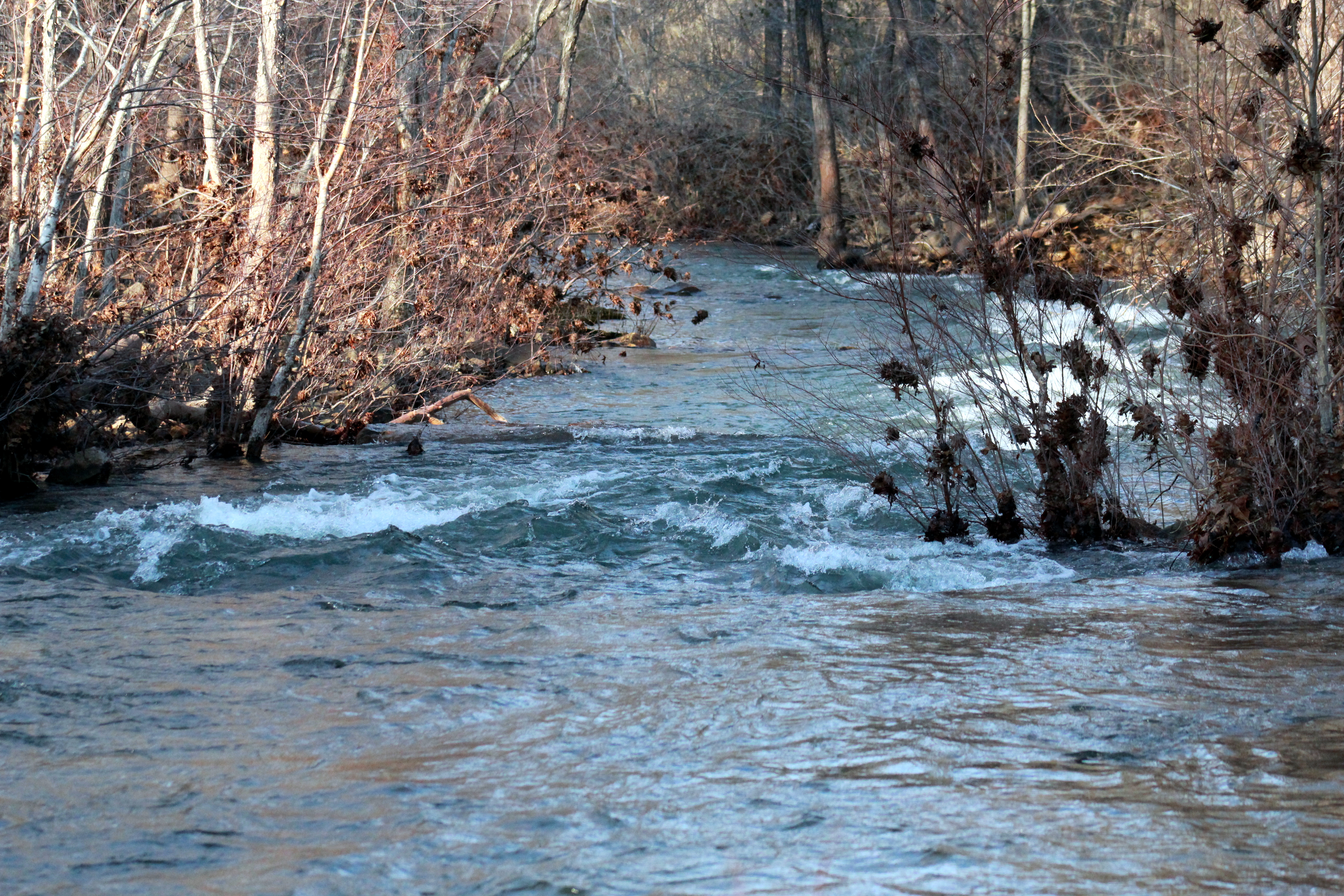
Marcella Creek 2

In-flight beauty !
Topographic Map of Lower Yorktown Dr, Locust Grove, AR, USA
Find elevation by address:

Places near Lower Yorktown Dr, Locust Grove, AR, USA:
Marcella Township
Marcella
AR-14, Pleasant Grove, AR, USA
Pleasant Grove
Kahoka Road
Tuttle Ridge Rd, Mountain View, AR, USA
Red Stripe Township
436 Ben Cartwright Ln
183 Petters Rd
Arbana Township
Dog Young Road
2327 Cove Rd
Bryan Township
2046 Misenheimer Rd
542 Jimmy Mitchell Rd
618 Ar-5
103 Jennifer Ln
660 Prince Loop
Prim Rd, Prim, AR, USA
Prim
Recent Searches:
- Elevation of Corso Fratelli Cairoli, 35, Macerata MC, Italy
- Elevation of Tallevast Rd, Sarasota, FL, USA
- Elevation of 4th St E, Sonoma, CA, USA
- Elevation of Black Hollow Rd, Pennsdale, PA, USA
- Elevation of Oakland Ave, Williamsport, PA, USA
- Elevation of Pedrógão Grande, Portugal
- Elevation of Klee Dr, Martinsburg, WV, USA
- Elevation of Via Roma, Pieranica CR, Italy
- Elevation of Tavkvetili Mountain, Georgia
- Elevation of Hartfords Bluff Cir, Mt Pleasant, SC, USA