Elevation of Lower Dam, Ajodhya Hills Rd, Barria, West Bengal, India
Location: India > West Bengal > Purulia > Barria >
Longitude: 86.0873652
Latitude: 23.1928744
Elevation: 287m / 942feet
Barometric Pressure: 98KPa
Elevation Map:
Satellite Map:
Related Photos:

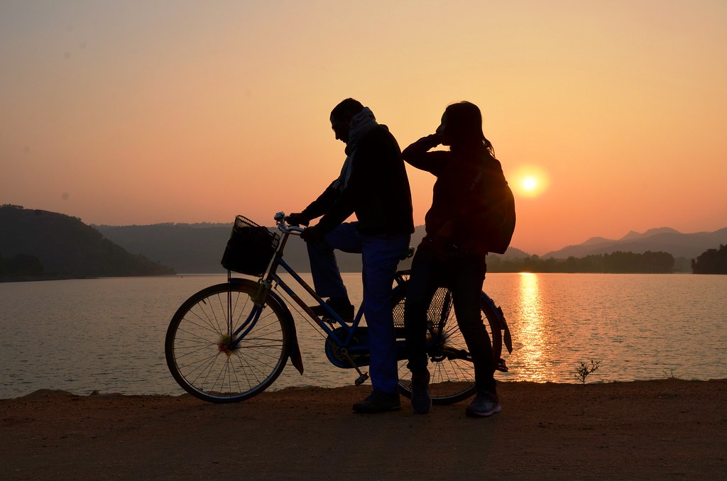
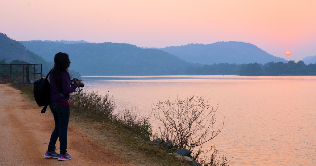
বৃষ্টির সঙ্গে পুরুলিয়ায়
বৃষ্টির সঙ্গে পুরুলিয়ায়
বৃষ্টির সঙ্গে পুরুলিয়ায়
বৃষ্টির সঙ্গে পুরুলিয়ায়
বৃষ্টির সঙ্গে পুরুলিয়ায়
বৃষ্টির সঙ্গে পুরুলিয়ায়
বৃষ্টির সঙ্গে পুরুলিয়ায়
বৃষ্টির সঙ্গে পুরুলিয়ায়
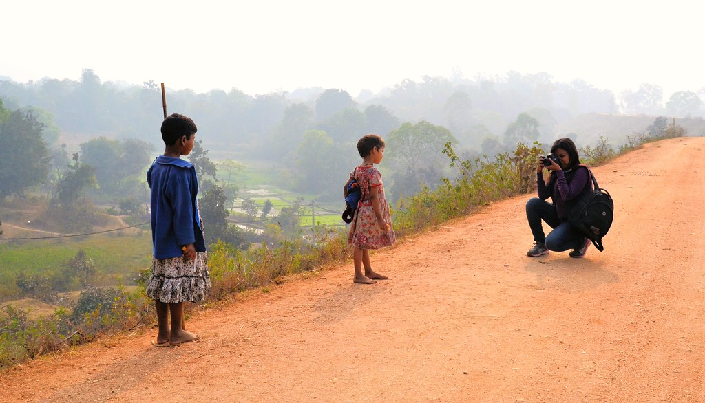
Beyond the road...
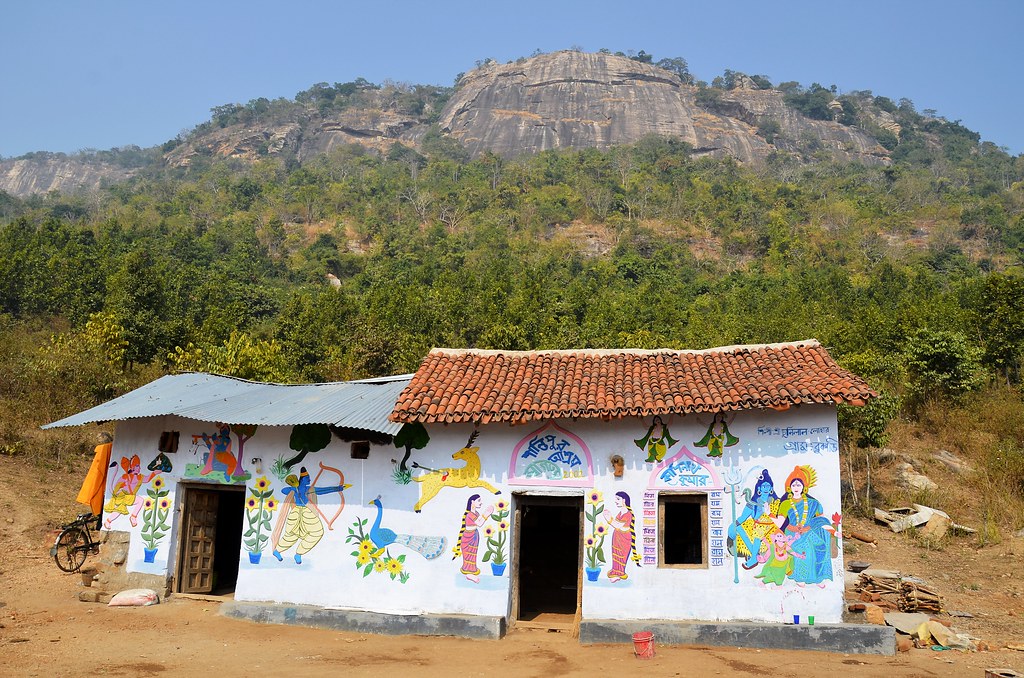
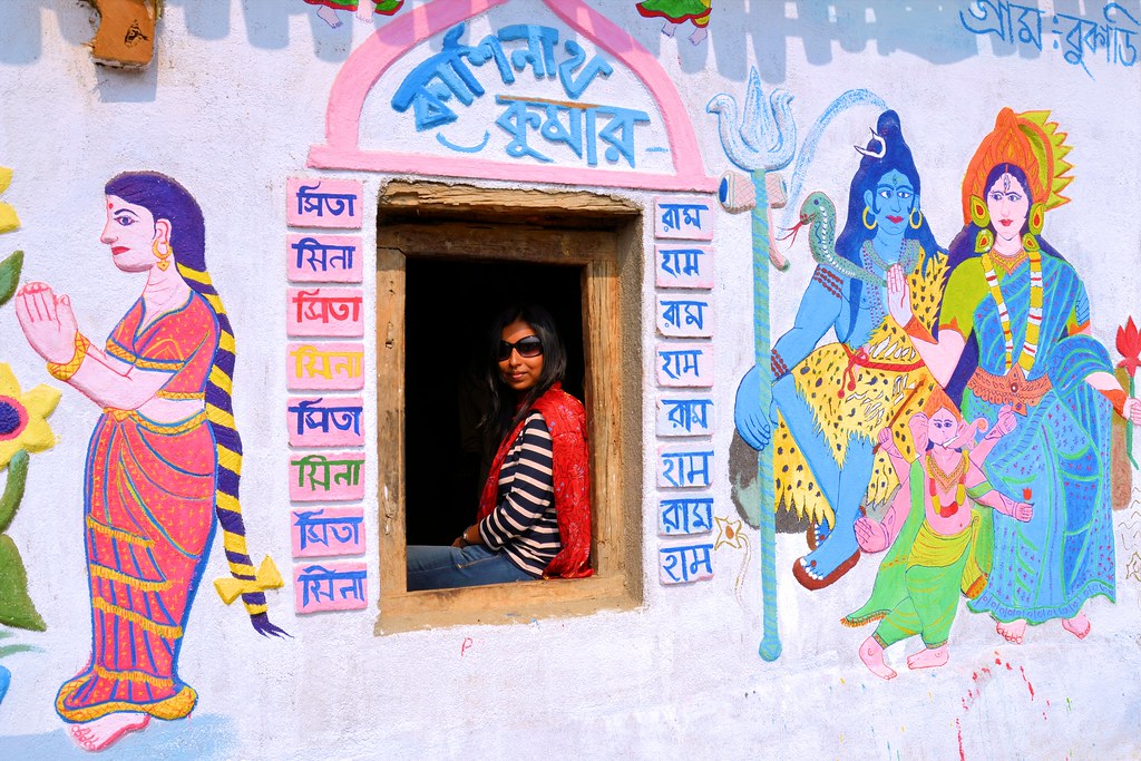
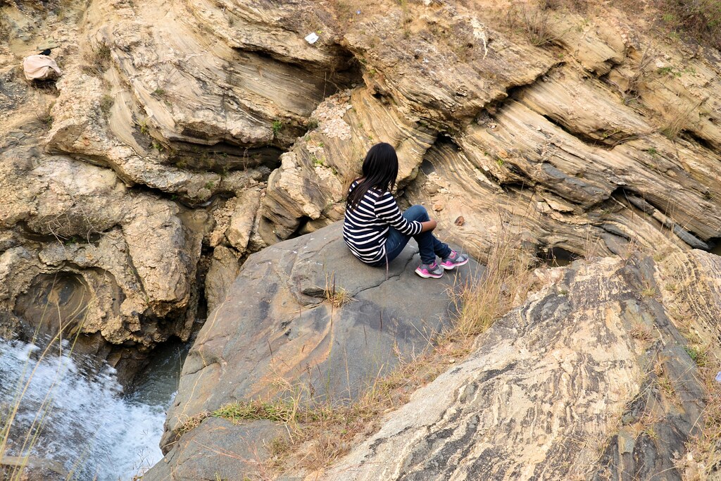
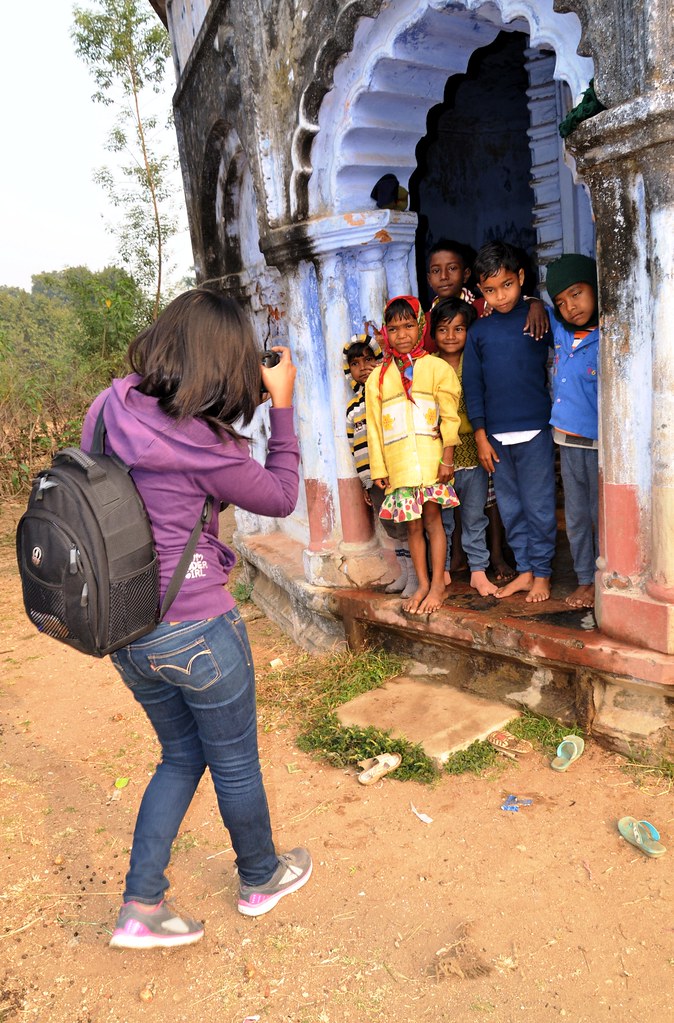
Beauty of Purulia...
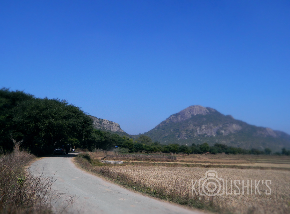
Landscape from Ajodhya Hills
Topographic Map of Lower Dam, Ajodhya Hills Rd, Barria, West Bengal, India
Find elevation by address:

Places near Lower Dam, Ajodhya Hills Rd, Barria, West Bengal, India:
Barria
Ajodhya
Silli
Purulia
Mango
Jamshedpur
Purulia
Birsanagar
Sidhu Kanhu Maidan
Birsanagar Zone No.2
Jabarrah High School
Petarwar Lake
Bokaro Steel City
Peterbar
Bokaro
Dugda
Duarsini Forest
Bokaro
Palamu
Raghunathpur
Recent Searches:
- Elevation of Corso Fratelli Cairoli, 35, Macerata MC, Italy
- Elevation of Tallevast Rd, Sarasota, FL, USA
- Elevation of 4th St E, Sonoma, CA, USA
- Elevation of Black Hollow Rd, Pennsdale, PA, USA
- Elevation of Oakland Ave, Williamsport, PA, USA
- Elevation of Pedrógão Grande, Portugal
- Elevation of Klee Dr, Martinsburg, WV, USA
- Elevation of Via Roma, Pieranica CR, Italy
- Elevation of Tavkvetili Mountain, Georgia
- Elevation of Hartfords Bluff Cir, Mt Pleasant, SC, USA