Elevation map of Bokaro, Jharkhand, India
Location: India > Jharkhand >
Longitude: 85.971322
Latitude: 23.6635265
Elevation: 324m / 1063feet
Barometric Pressure: 97KPa
Elevation Map:
Satellite Map:
Related Photos:

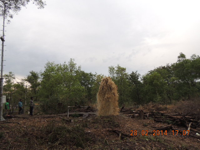
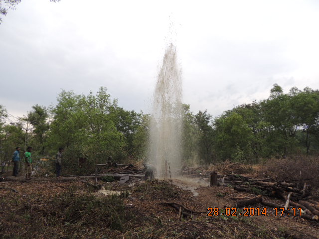
Tenughat Dam
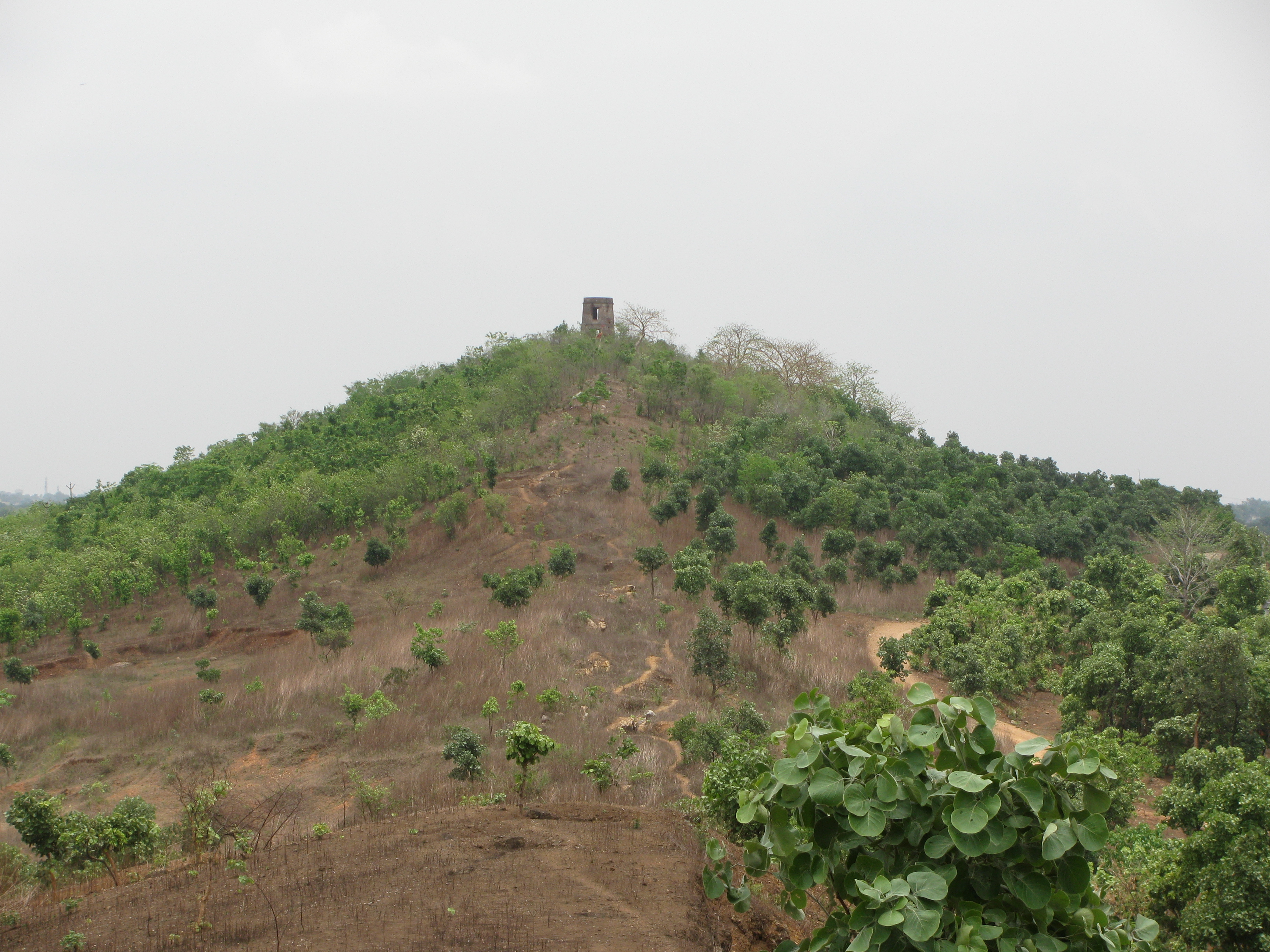
SATANPUR HILL,BOKARO

Tenughat Dam

Tenughat Dam

Tenughat Dam

Tenughat Dam
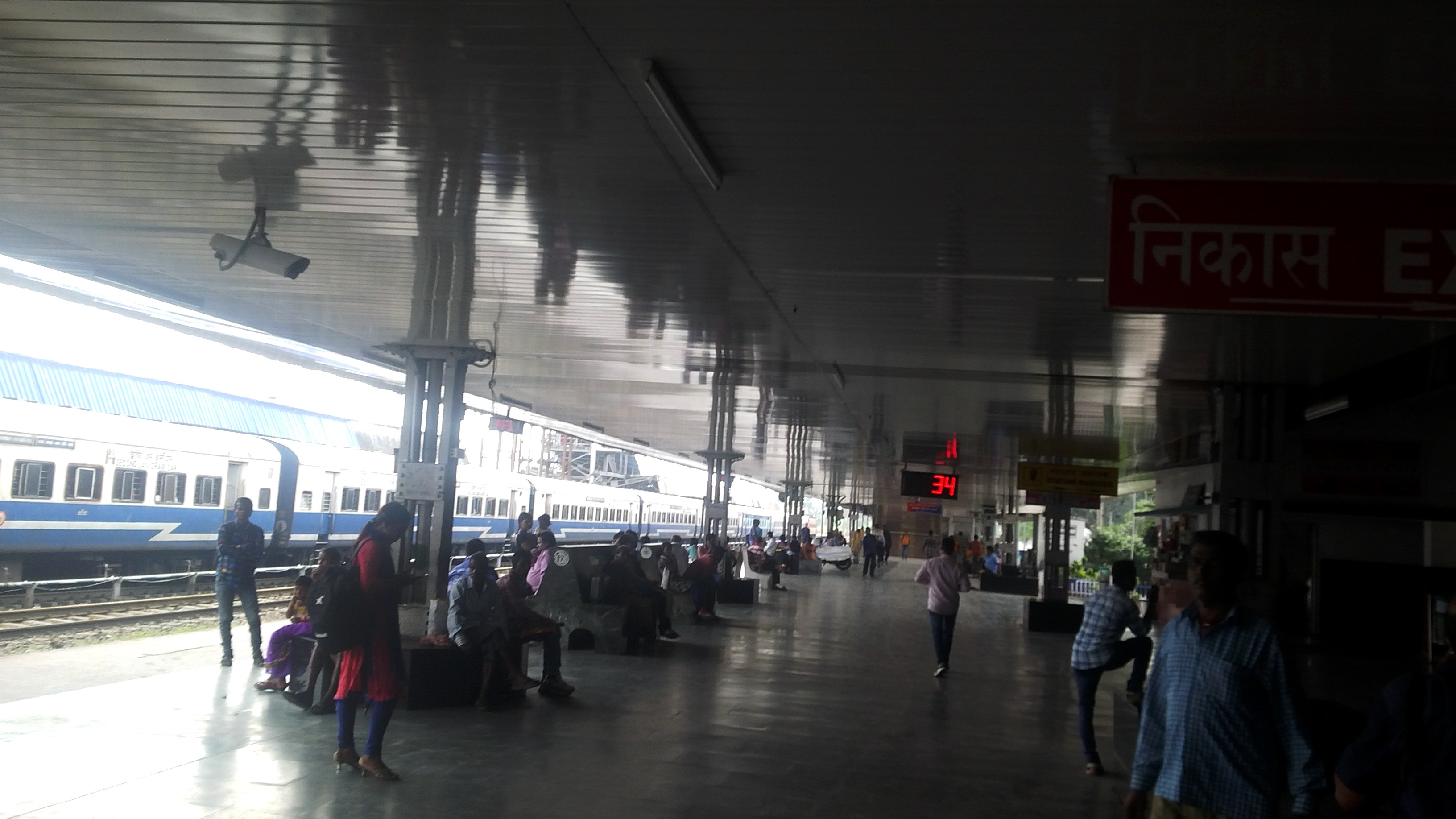
Bokaro Station
Bokaro Station
Bokaro Station

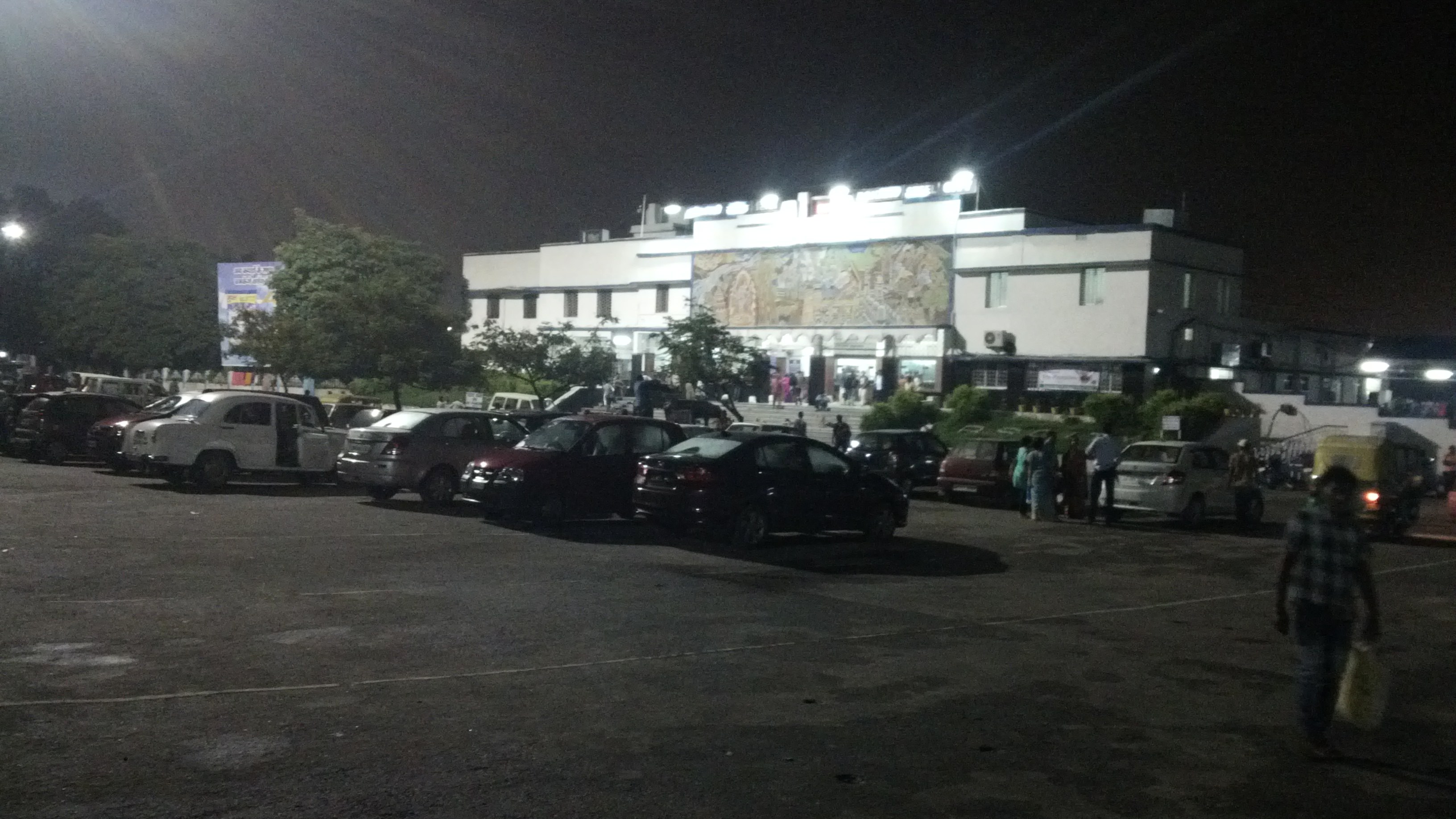
Pict captured on 10th Jan '16. At Bokaro Steel City Jn while traveling to ranchi frm patna
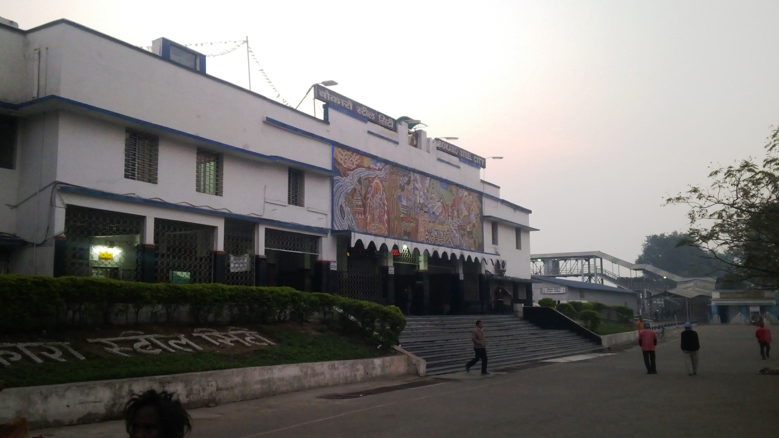
Bokaro Railway Station
Bokaro Station
Bokaro 3
Bokaro 2

Tenughat Dam

Tenughat Dam

Tenughat Dam
Topographic Map of Bokaro, Jharkhand, India
Find elevation by address:

Places in Bokaro, Jharkhand, India:
Places near Bokaro, Jharkhand, India:
Peterbar
Petarwar Lake
Bokaro
Palamu
Bokaro Steel City
Dugda
Silli
Kharni
Jharkhand, India
Ajodhya
Dhanbad
Barria
Lower Dam
Purulia
Dhanbad
Jabarrah High School
Purulia
Raghunathpur
Gar Panchkot
Garh Panchokot Hills
Recent Searches:
- Elevation of Corso Fratelli Cairoli, 35, Macerata MC, Italy
- Elevation of Tallevast Rd, Sarasota, FL, USA
- Elevation of 4th St E, Sonoma, CA, USA
- Elevation of Black Hollow Rd, Pennsdale, PA, USA
- Elevation of Oakland Ave, Williamsport, PA, USA
- Elevation of Pedrógão Grande, Portugal
- Elevation of Klee Dr, Martinsburg, WV, USA
- Elevation of Via Roma, Pieranica CR, Italy
- Elevation of Tavkvetili Mountain, Georgia
- Elevation of Hartfords Bluff Cir, Mt Pleasant, SC, USA