Elevation of Low Point Rd, St. Shott's, NL A0A 3R0, Canada
Location: Canada > Newfoundland And Labrador > Trepassey >
Longitude: -53.363436
Latitude: 46.7617133
Elevation: 18m / 59feet
Barometric Pressure: 101KPa
Elevation Map:
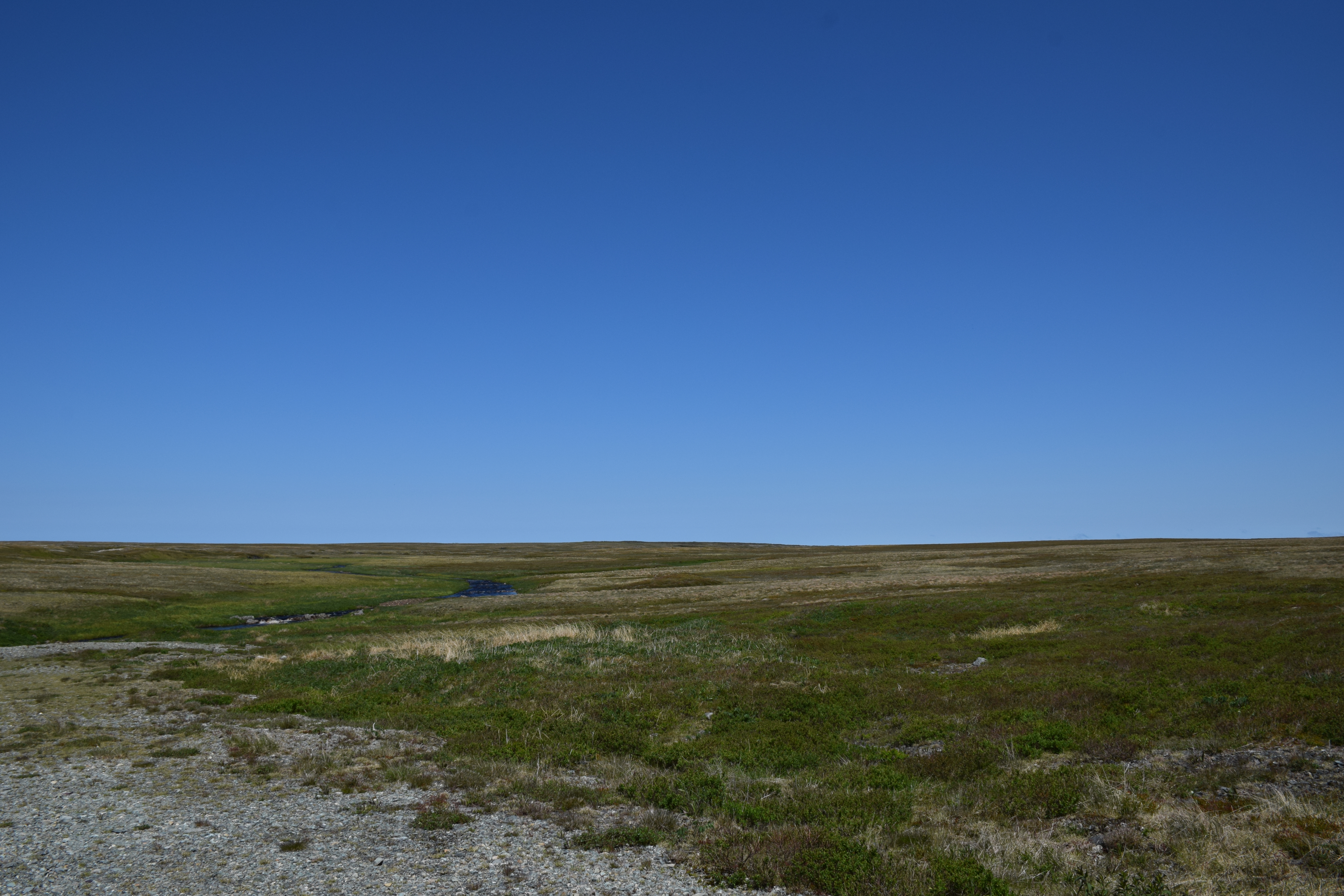
Satellite Map:
Related Photos:
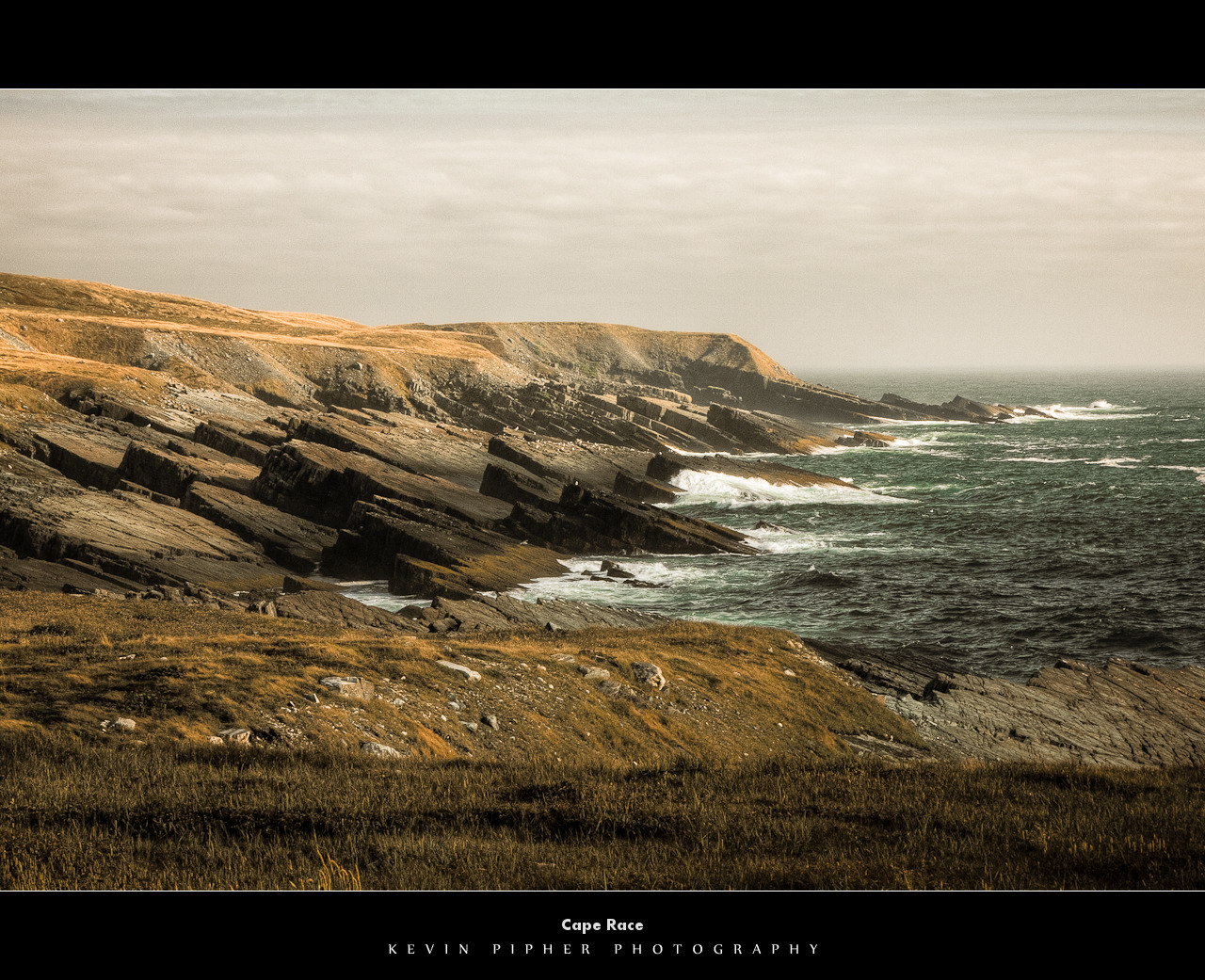
Cape Race
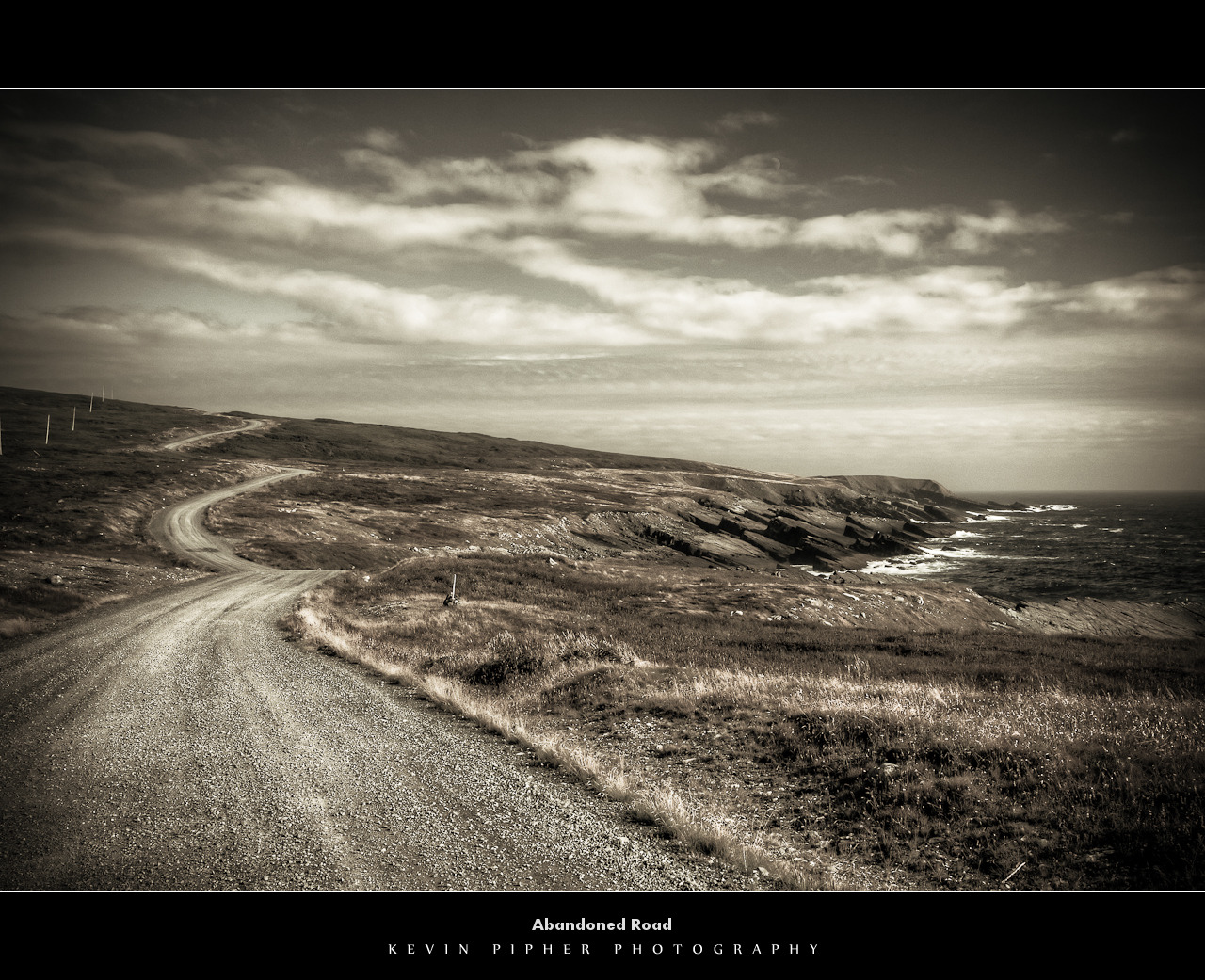
Abandoned Road
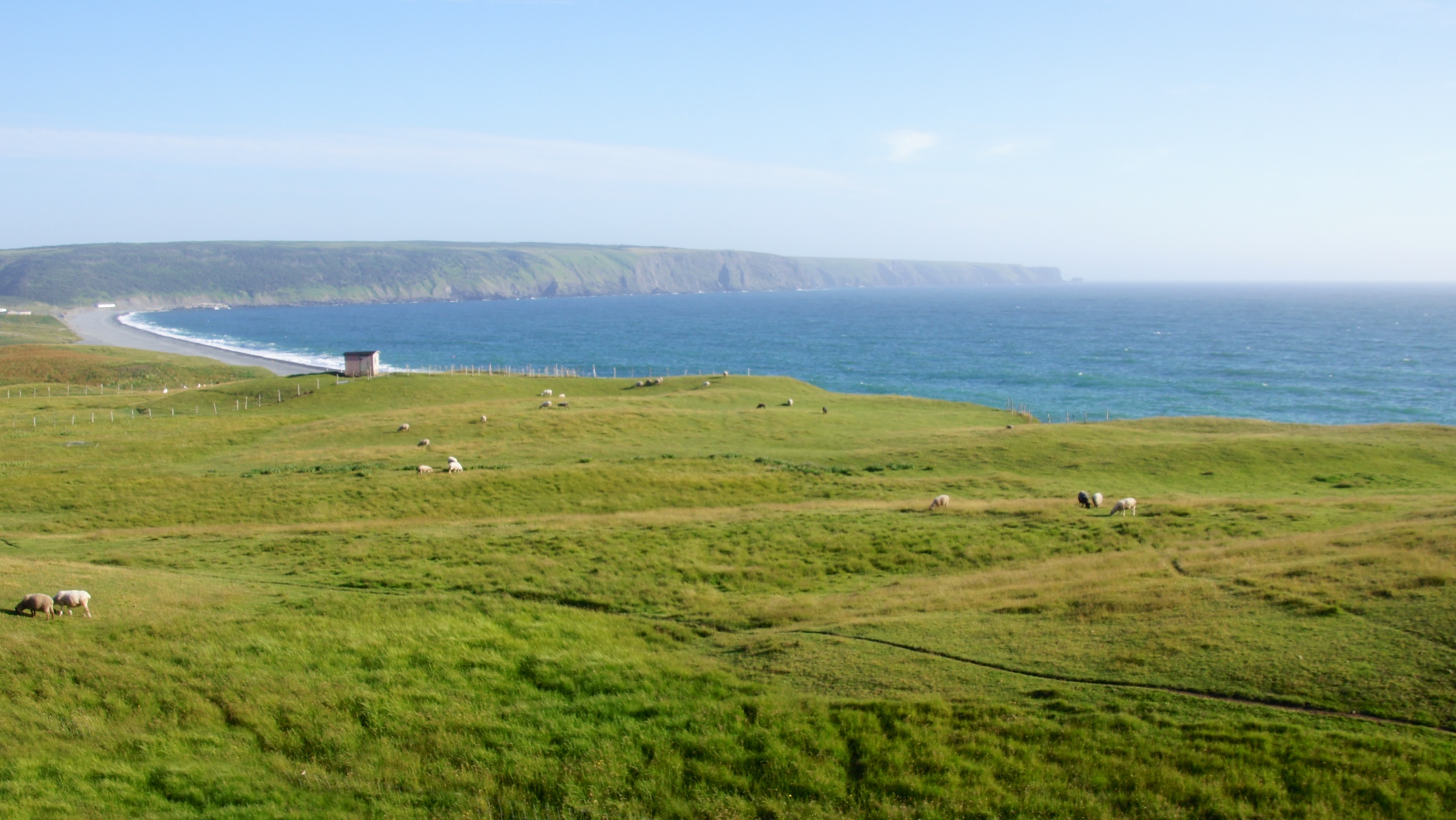
The Irish Loop
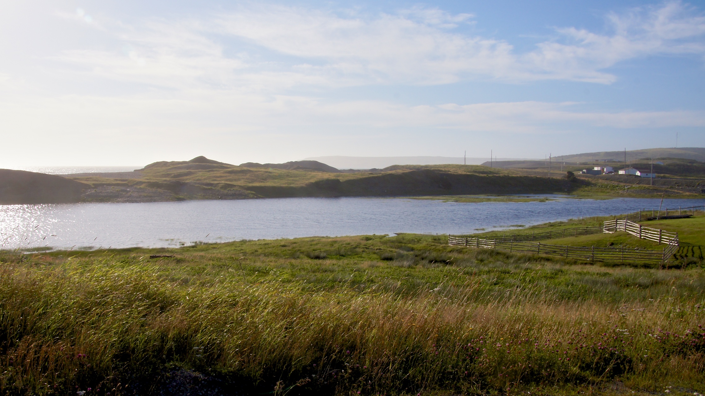
The Irish Loop
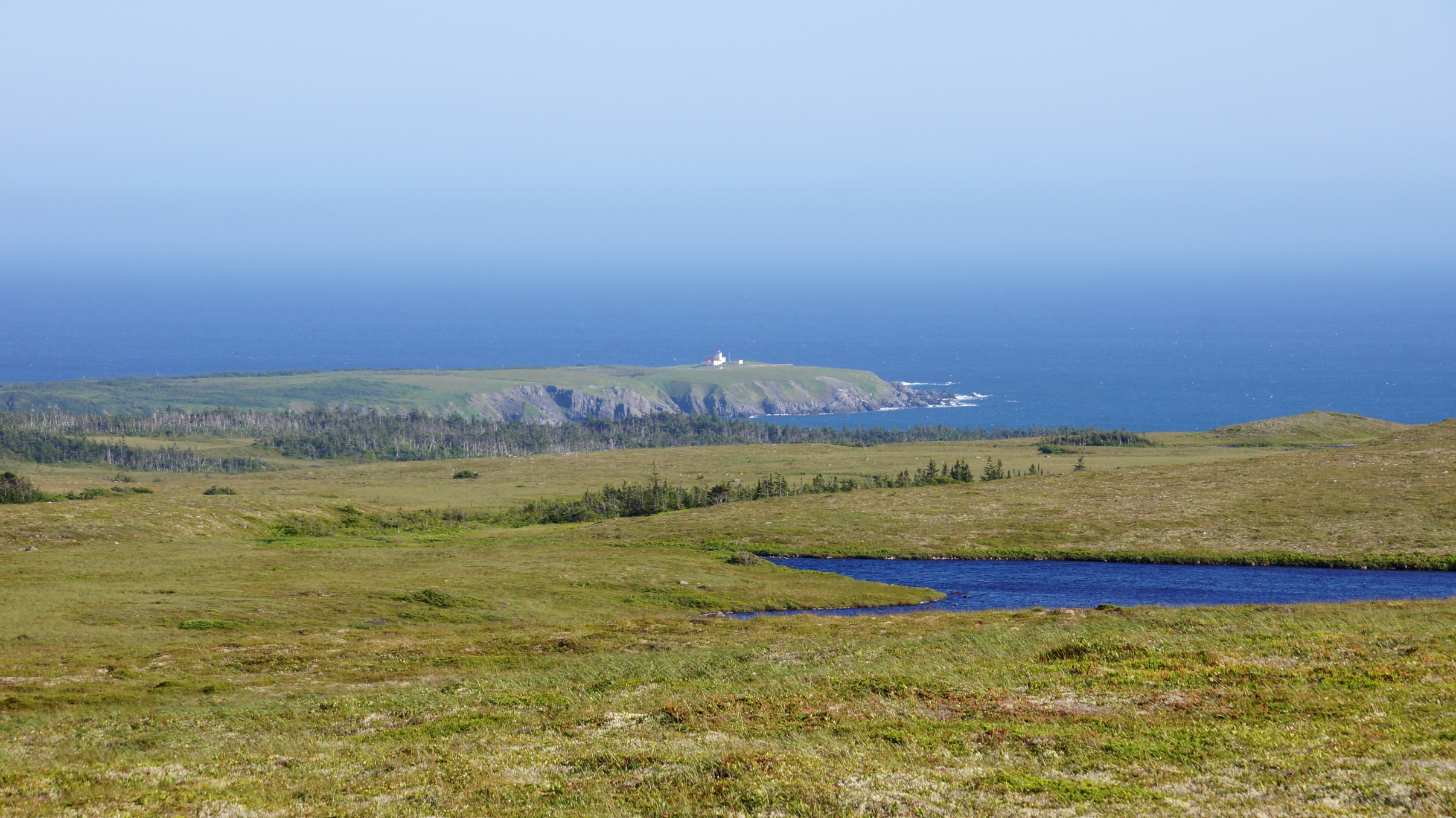
Trepassey Lighthouse from afar
Powles Head Lightstation
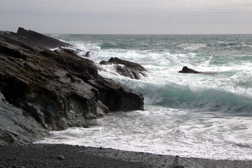
Crashing Wave

Sams River Newfoundland

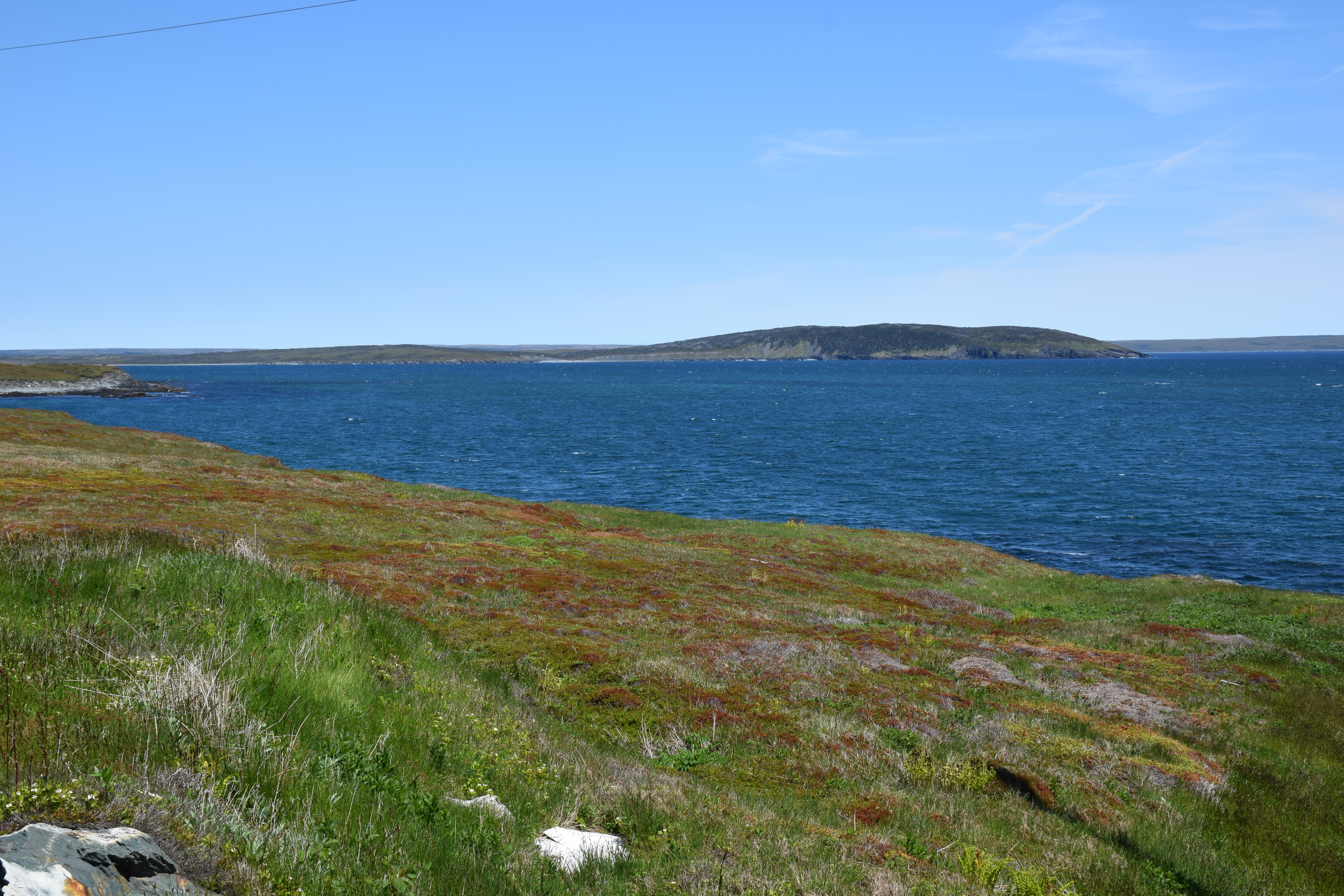
Portugal Cove South
Powles Head Lightstation
Sams River Newfoundland

Portugal Cove South, Newfoundland, Canada.
Topographic Map of Low Point Rd, St. Shott's, NL A0A 3R0, Canada
Find elevation by address:

Places near Low Point Rd, St. Shott's, NL A0A 3R0, Canada:
Trepassey
Division No. 1, Subd. W
Division No. 1, Subd. U
Fermeuse
NL-10, Fermeuse, NL A0A 2G0, Canada
Salmonier Line, Brigus Junction, NL A0B 1G0, Canada
Ferryland
Brigus Junction
Holyrood
Avondale
63 Conception Bay Hwy, Conception Harbour, NL A0A 1Z0, Canada
26 Chapel's Cove Road, Harbour Main-Chapel Cove-Lakeview, NL A0A 1V0, Canada
Conception Harbour
Chapel's Cove Road
Harbour Main-chapel Cove-lakeview
14 Old Rd, Conception Harbour, NL A0A 1Z0, Canada
Division No. 1, Subd. D
Mobile
79 Riverhead Rd
79 Riverhead Rd
Recent Searches:
- Elevation of Corso Fratelli Cairoli, 35, Macerata MC, Italy
- Elevation of Tallevast Rd, Sarasota, FL, USA
- Elevation of 4th St E, Sonoma, CA, USA
- Elevation of Black Hollow Rd, Pennsdale, PA, USA
- Elevation of Oakland Ave, Williamsport, PA, USA
- Elevation of Pedrógão Grande, Portugal
- Elevation of Klee Dr, Martinsburg, WV, USA
- Elevation of Via Roma, Pieranica CR, Italy
- Elevation of Tavkvetili Mountain, Georgia
- Elevation of Hartfords Bluff Cir, Mt Pleasant, SC, USA