Elevation of Loulo, Democratic Republic of the Congo
Location: Democratic Republic Of The Congo > North-kivu >
Longitude: 29.7686614
Latitude: 0.4092552
Elevation: 1296m / 4252feet
Barometric Pressure: 87KPa
Elevation Map:
Satellite Map:
Related Photos:

Upper Big Bog

Alpine Zone (4.000 to 4.500 m)

Margherita Peak

Diego's way

Team Joker getting ready

The giant groundsel
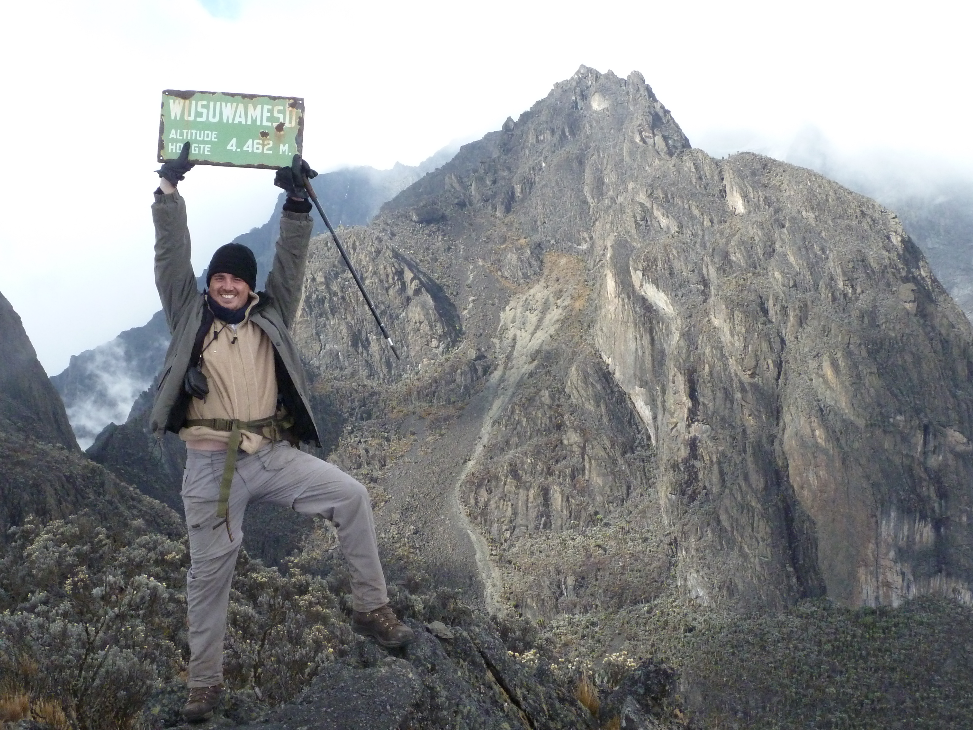
Wusuwameso peak

DSCN1002 Lago Kitandara, 4.023 m., Montañas Rwenzori, Uganda
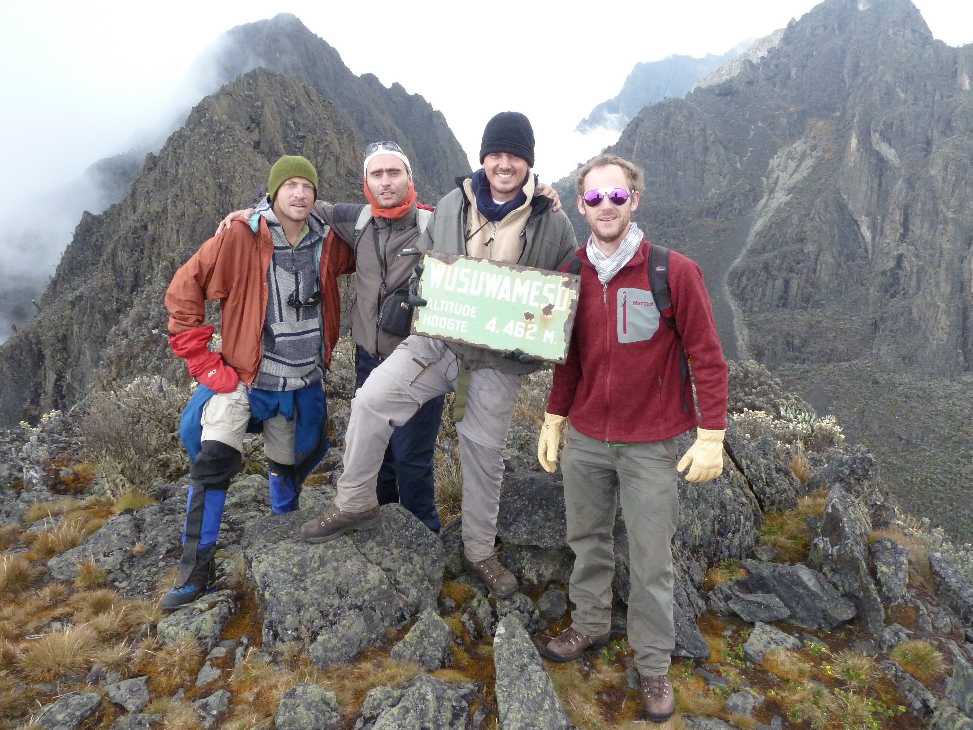
Acclimatization on Wusuwameso

Touching the clouds

Diego in action

Lac gris

Tired but satisfied!!
Topographic Map of Loulo, Democratic Republic of the Congo
Find elevation by address:

Places in Loulo, Democratic Republic of the Congo:
Places near Loulo, Democratic Republic of the Congo:
Murambi
Mutwanga
Mount Stanley
Rwenzori Mountains
Rwenzori Mountains National Park
Kilembe Mines Hospital
Kasese
Queen Elizabeth National Park
Rubona
Kasese
Semuliki National Park
Kabarole
Fort Portal
Bigodi Community Walk - Bicowa
Western Region
Kibale
Kitechura
Recent Searches:
- Elevation of Corso Fratelli Cairoli, 35, Macerata MC, Italy
- Elevation of Tallevast Rd, Sarasota, FL, USA
- Elevation of 4th St E, Sonoma, CA, USA
- Elevation of Black Hollow Rd, Pennsdale, PA, USA
- Elevation of Oakland Ave, Williamsport, PA, USA
- Elevation of Pedrógão Grande, Portugal
- Elevation of Klee Dr, Martinsburg, WV, USA
- Elevation of Via Roma, Pieranica CR, Italy
- Elevation of Tavkvetili Mountain, Georgia
- Elevation of Hartfords Bluff Cir, Mt Pleasant, SC, USA