Elevation of Kilembe Mines Hospital, Kasese, Uganda
Location: Uganda > Western Region > Kasese >
Longitude: 30.0739869
Latitude: 0.1771134
Elevation: 1002m / 3287feet
Barometric Pressure: 90KPa
Elevation Map:
Satellite Map:
Related Photos:

view from backpacker place in Kilembe

Blick in die Savanne

on my way to the park entrance

IMG_1917 1
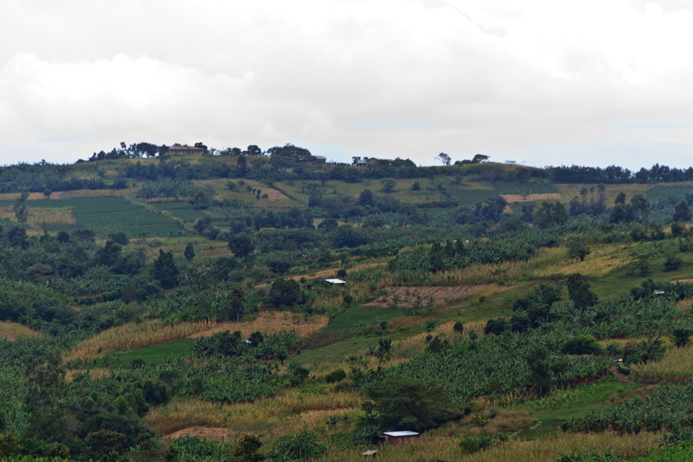
Rural farms

IMG_0749.jpg

IMG_0758.jpg

IMG_0456.jpg

DSC_5776.jpg
Topographic Map of Kilembe Mines Hospital, Kasese, Uganda
Find elevation by address:

Places near Kilembe Mines Hospital, Kasese, Uganda:
Kasese
Queen Elizabeth National Park
Kasese
Rwenzori Mountains National Park
Mount Stanley
Rwenzori Mountains
Mutwanga
Murambi
Loulo
Rubona
Bigodi Community Walk - Bicowa
Kabarole
Western Region
Kibale
Fort Portal
Semuliki National Park
Kitechura
Recent Searches:
- Elevation of Corso Fratelli Cairoli, 35, Macerata MC, Italy
- Elevation of Tallevast Rd, Sarasota, FL, USA
- Elevation of 4th St E, Sonoma, CA, USA
- Elevation of Black Hollow Rd, Pennsdale, PA, USA
- Elevation of Oakland Ave, Williamsport, PA, USA
- Elevation of Pedrógão Grande, Portugal
- Elevation of Klee Dr, Martinsburg, WV, USA
- Elevation of Via Roma, Pieranica CR, Italy
- Elevation of Tavkvetili Mountain, Georgia
- Elevation of Hartfords Bluff Cir, Mt Pleasant, SC, USA