Elevation of Lost River Rd, Cape Fair, MO, USA
Location: United States > Missouri > Stone County > Flat Creek A Township > Cape Fair >
Longitude: -93.491857
Latitude: 36.7209359
Elevation: -10000m / -32808feet
Barometric Pressure: 295KPa
Elevation Map:
Satellite Map:
Related Photos:
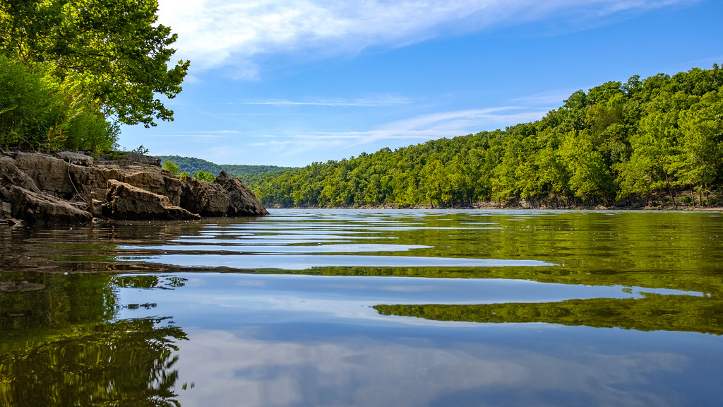
Swimmer's eye view

View From My Hammock

Galena Y Bridge- Side View

Drapes.

sky view-lake view

Talking Rocks Cavern II: First View

Marvel Cave - Cathedral Room

Giant Barn Swing

Piney Creek Wilderness - Campfire

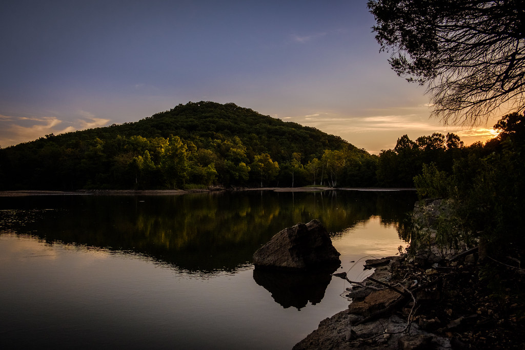
Table Rock Lake, Missouri

Piney Creek Wilderness - Campfire

View from the Tent - Big Bay Campground

Another view to the east

Big Bay Campground, Campsite No. 27 view to the east over Table Rock Lake

Table Rock Lake from Big Bay Campsite

Stone County Courthouse (Galena, Missouri)

Big Bay campground runs all around the ridge to the right.

Big Bay campground runs all around the ridge to the right.

Looking up the hill

Camping at Big Bay Recreation Area area

Path to the lakeside

the point...

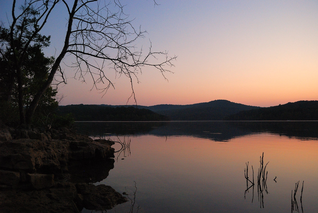
Sunset over Table Rock Lake

Geyser Gulch at Silver Dollar City
Sunset at Piney Creek Wilderness

#sunsets #longexposure #lakelife #partycove #water #clouds #reflection #tablerock #breathtaking
Loved this place. Miss it. #tablerocklake #friends #love

Table Rock dock

IMG_1327.JPG

IMG_1328.JPG
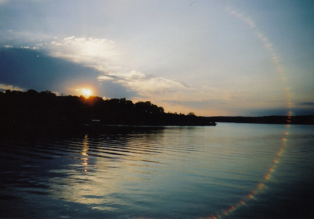
Table Rock Lake
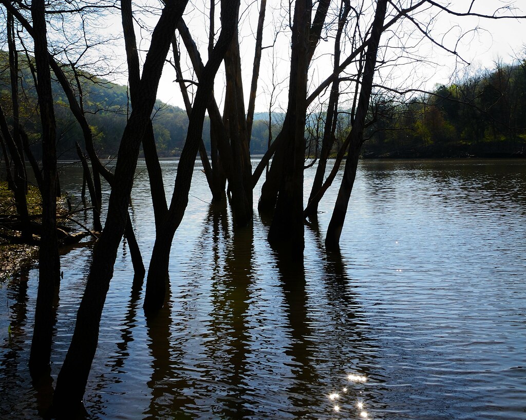
Table Rock Lake at Piney Creek Wilderness
Pre-dawn on Table Rock Lake at the Big Bay Recreation Area

IMG_1338.JPG

Table Rock Lake at Piney Creek Wilderness

Big Bay, Table Rock Lake, Missouri

Water Contraption

IMG_1331.JPG

Marvel Cave - Branson, Missouri
Topographic Map of Lost River Rd, Cape Fair, MO, USA
Find elevation by address:

Places near Lost River Rd, Cape Fair, MO, USA:
8 Fairview Dr
170 Peach Orchard Rd
Cape Fair
MO-76, Cape Fair, MO, USA
State Highway Y
Flat Creek B Township
103 Forever Ct
374 Timberlake Cir
3816 Ance Creek Rd
98 Irish Hills Blvd
98 Irish Hills Blvd
98 Irish Hills Blvd
98 Irish Hills Blvd
98 Irish Hills Blvd
98 Irish Hills Blvd
367 Summer Rd
Irish Hills Boulevard
31 Midview Dr
29 Midview Dr
5 Hilltop Dr
Recent Searches:
- Elevation of Corso Fratelli Cairoli, 35, Macerata MC, Italy
- Elevation of Tallevast Rd, Sarasota, FL, USA
- Elevation of 4th St E, Sonoma, CA, USA
- Elevation of Black Hollow Rd, Pennsdale, PA, USA
- Elevation of Oakland Ave, Williamsport, PA, USA
- Elevation of Pedrógão Grande, Portugal
- Elevation of Klee Dr, Martinsburg, WV, USA
- Elevation of Via Roma, Pieranica CR, Italy
- Elevation of Tavkvetili Mountain, Georgia
- Elevation of Hartfords Bluff Cir, Mt Pleasant, SC, USA