Elevation of Timberlake Cir, Galena, MO, USA
Location: United States > Missouri > Stone County > Ruth A Township > Galena >
Longitude: -93.476366
Latitude: 36.6592136
Elevation: 308m / 1010feet
Barometric Pressure: 98KPa
Elevation Map:
Satellite Map:
Related Photos:
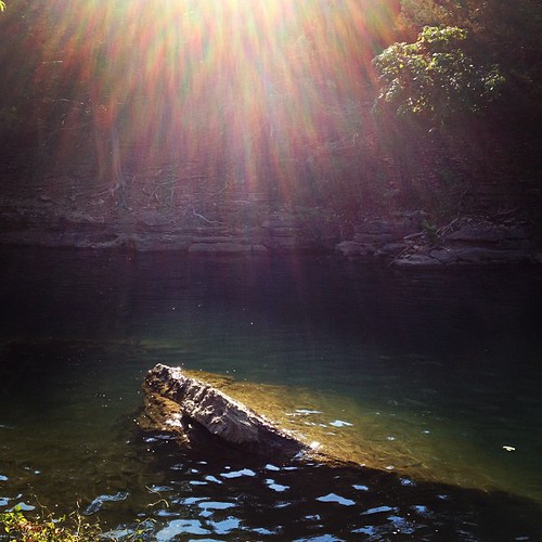
sky view-lake view
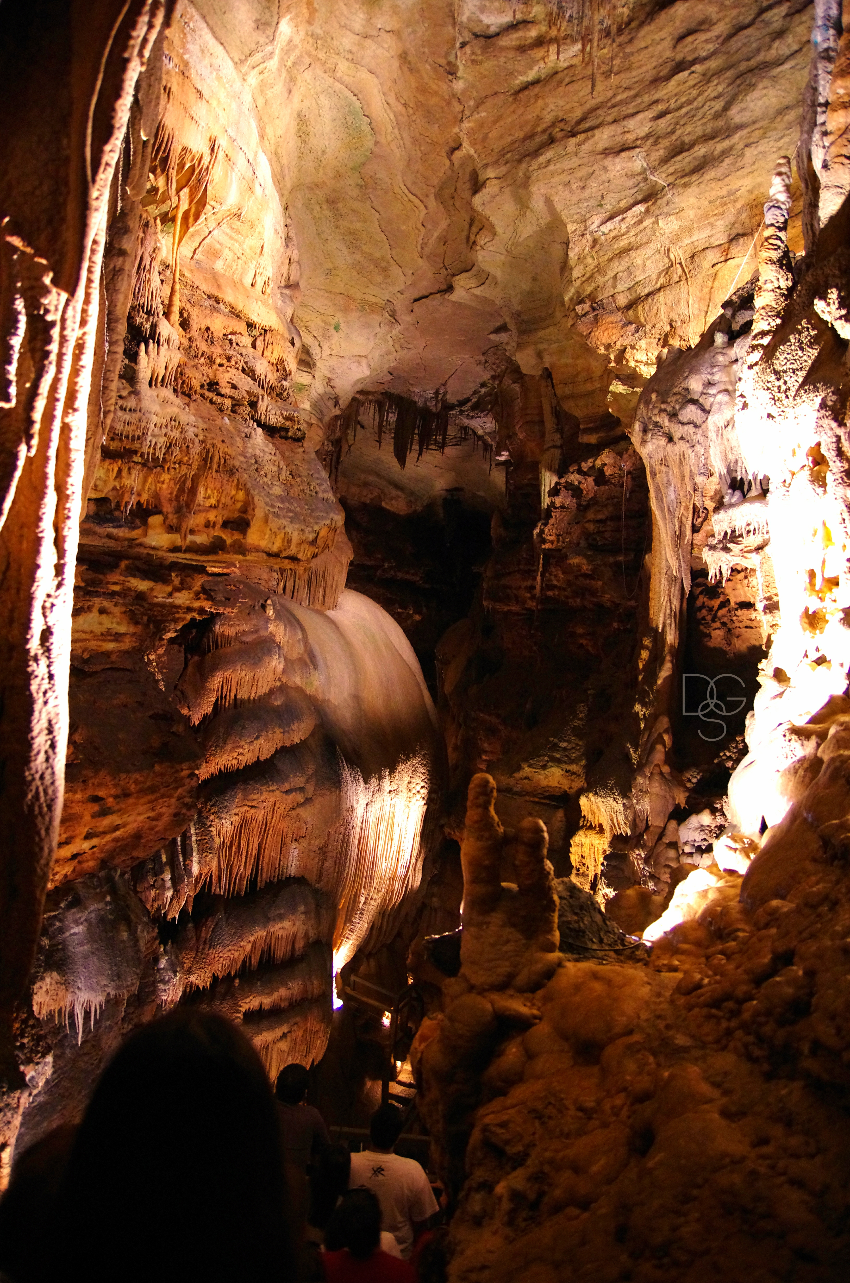
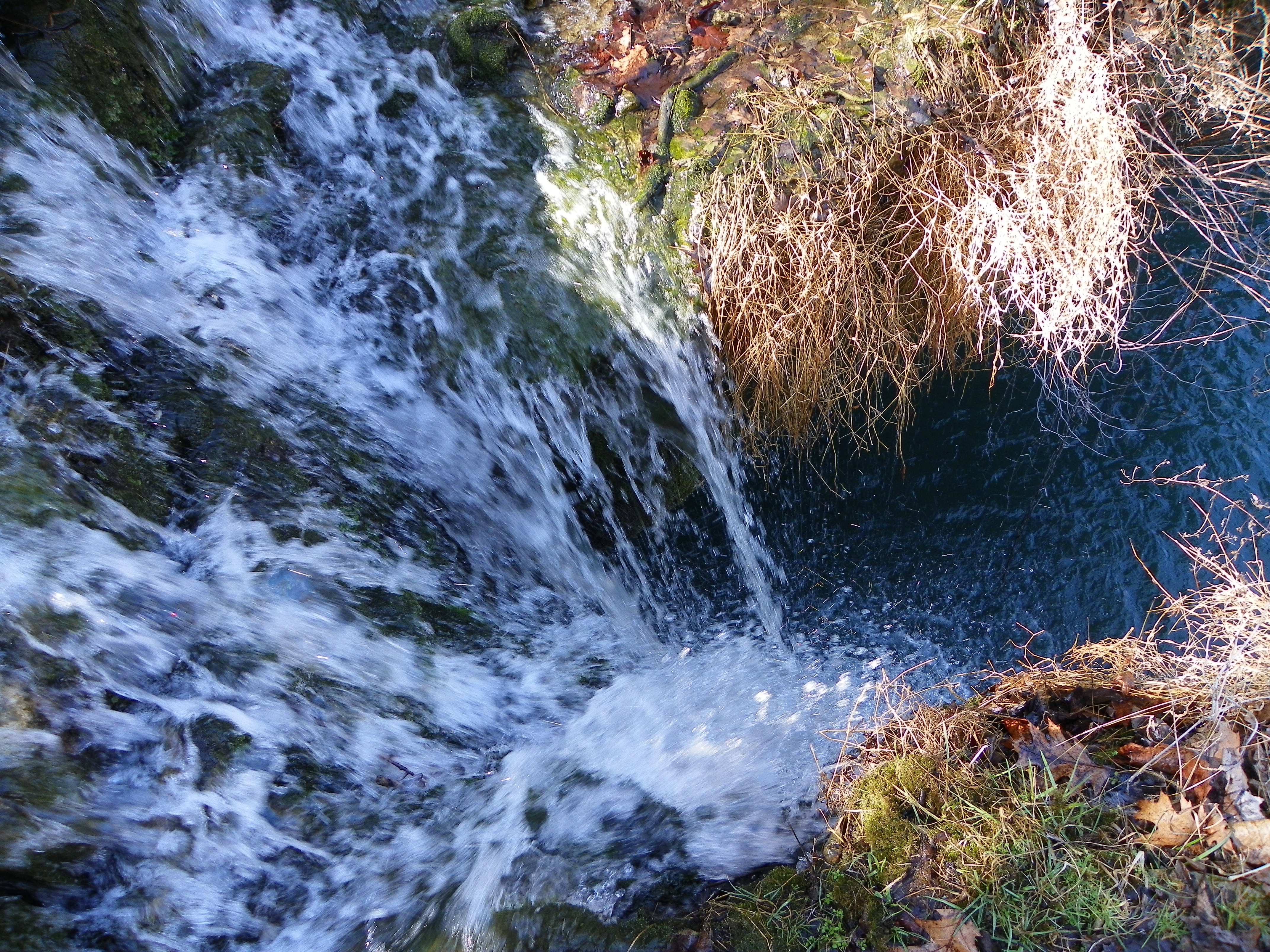
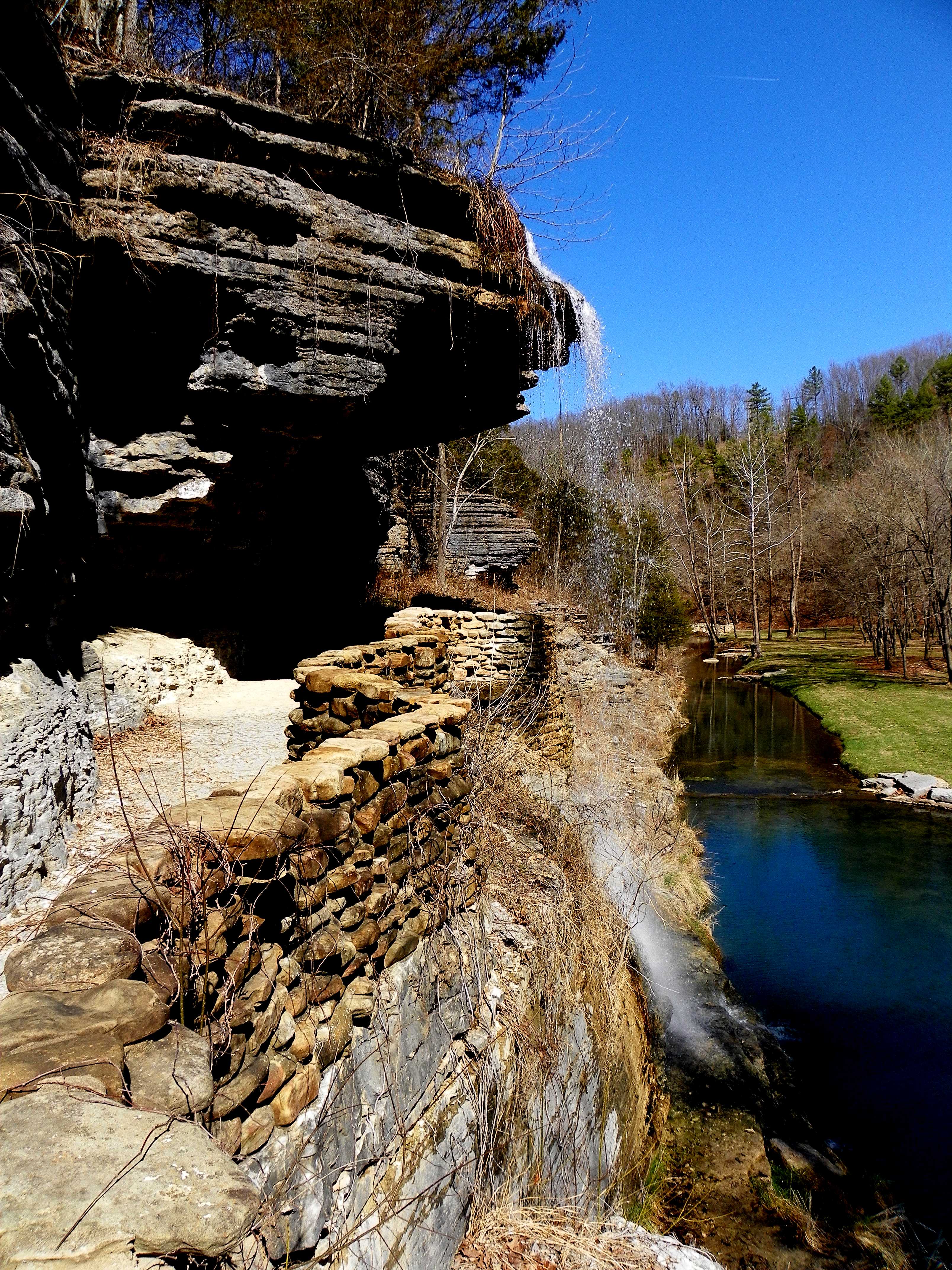
Talking Rocks Cavern II: First View
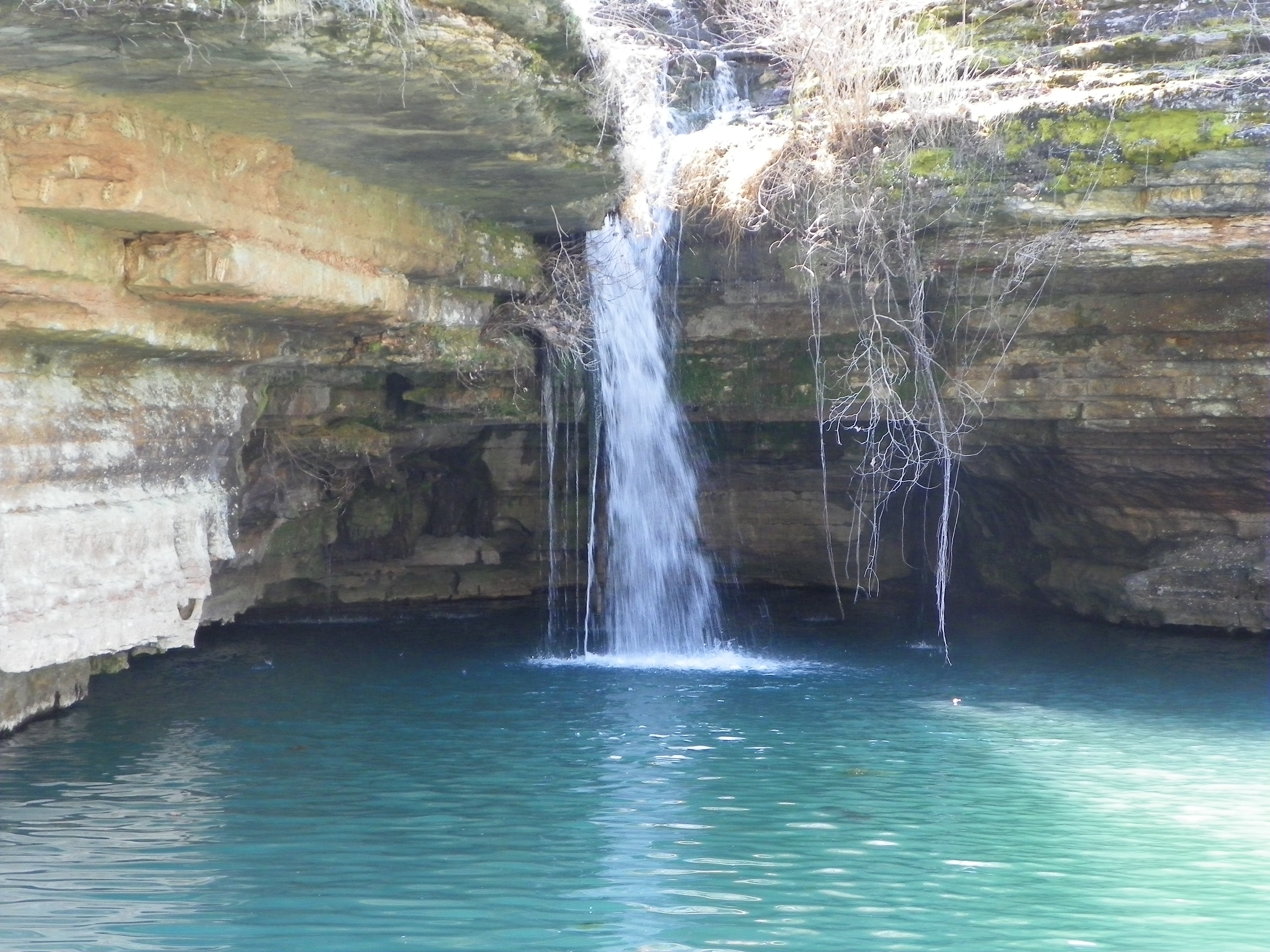
Swimmer's eye view

View From My Hammock
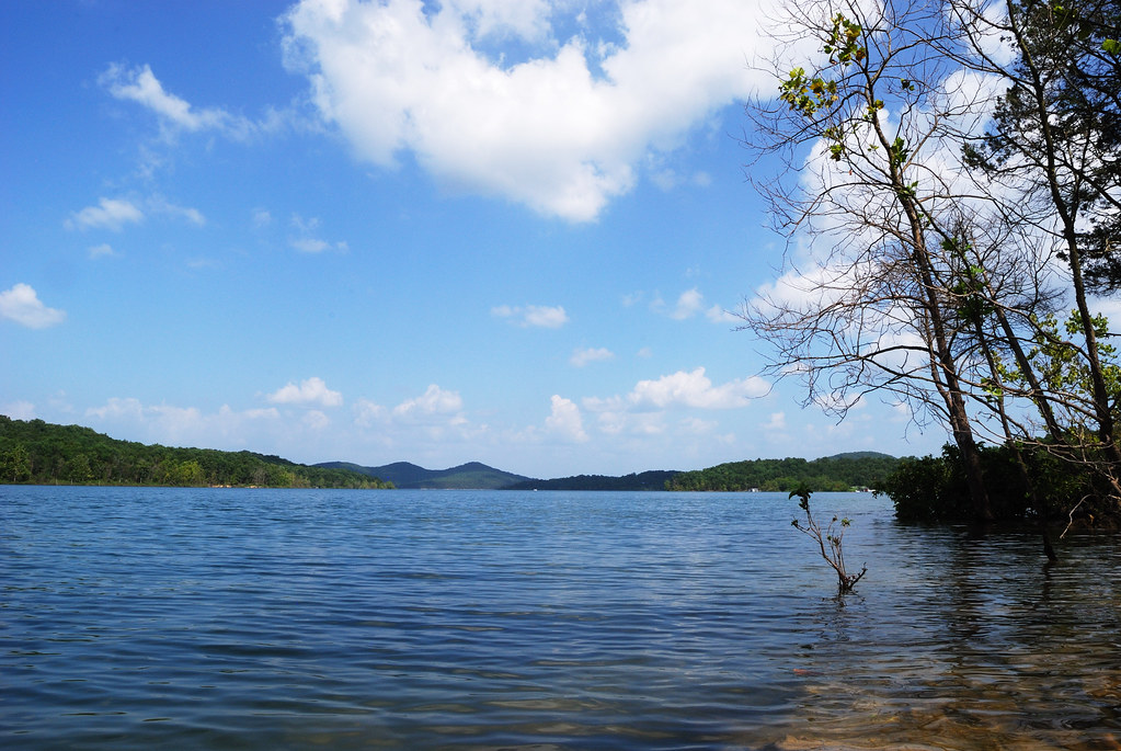
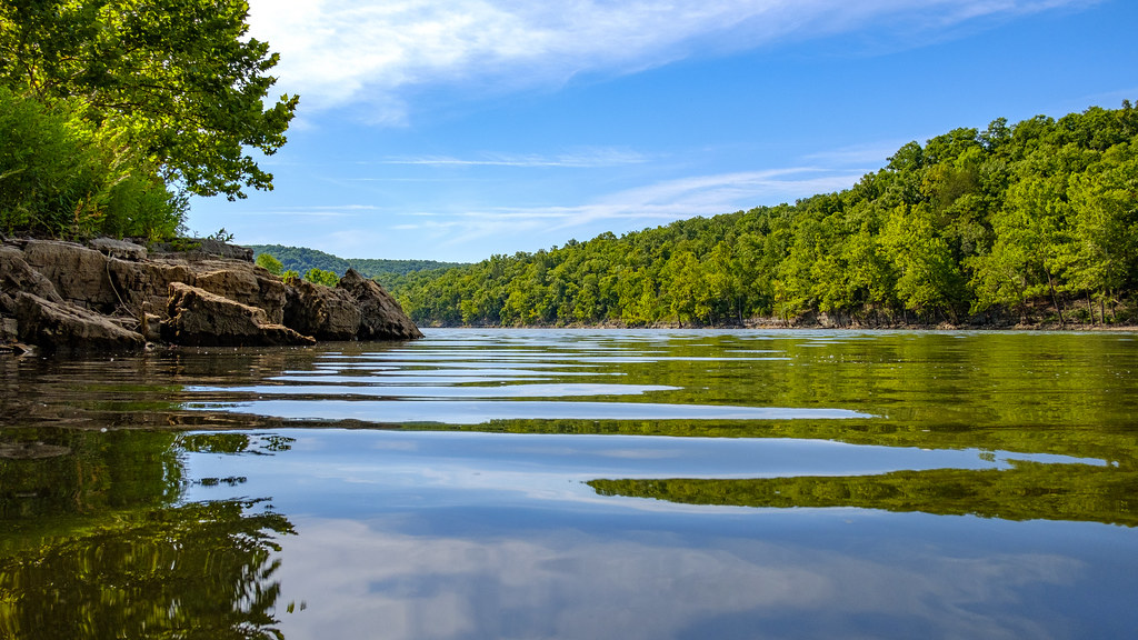
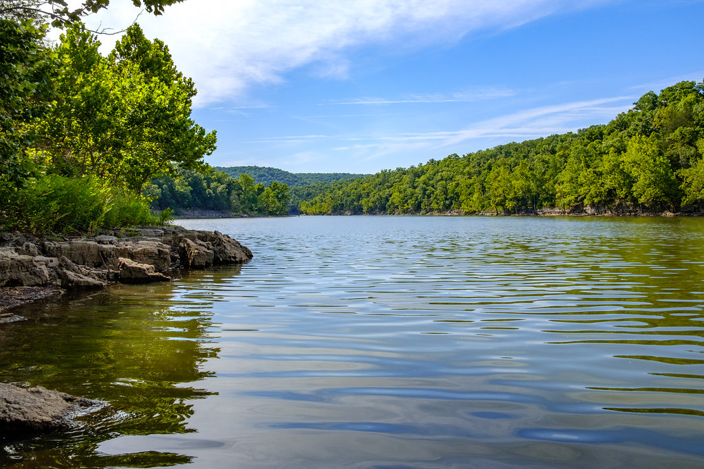
Table Rock Lake, Missouri
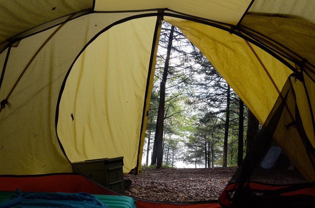
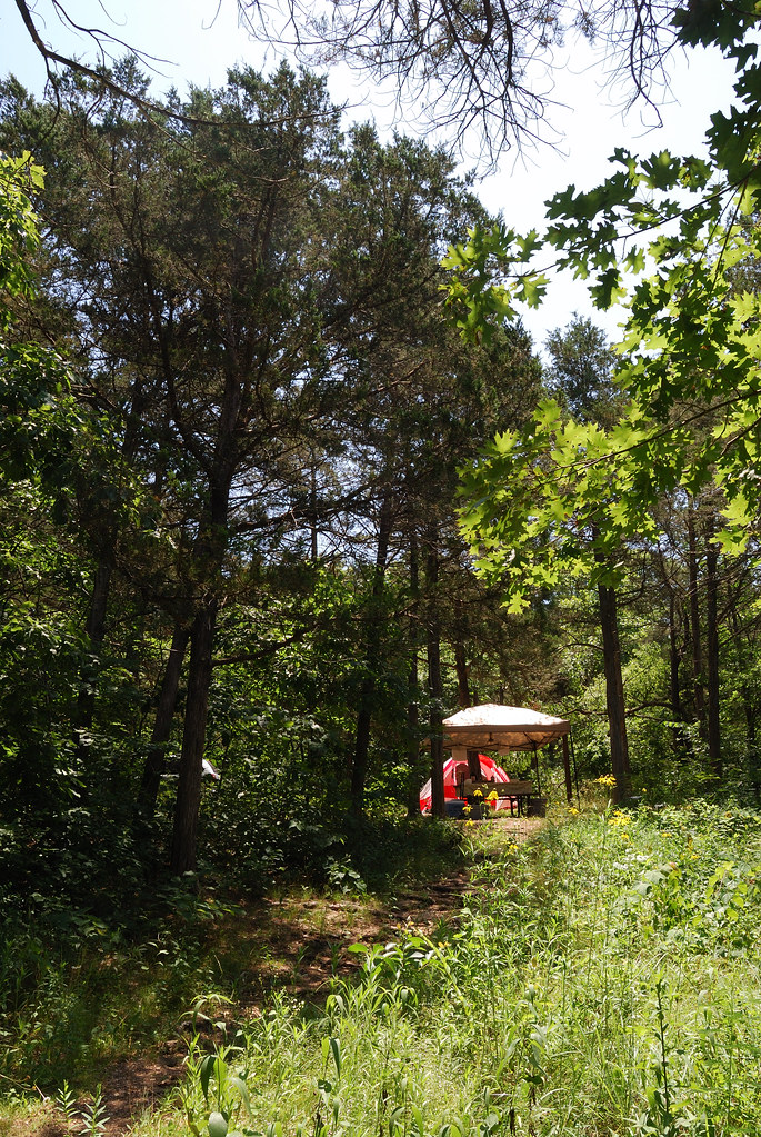
View from the Tent - Big Bay Campground

Moody Day
Another view to the east
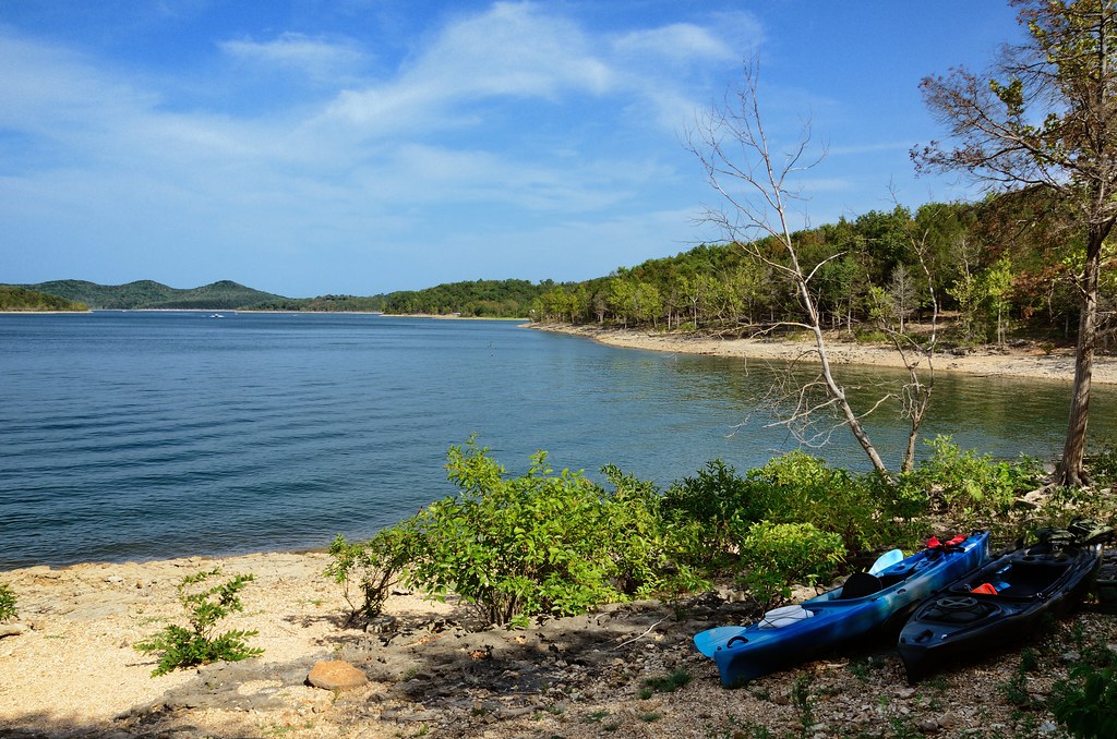
Big Bay Campground, Campsite No. 27 view to the east over Table Rock Lake
Table Rock Lake from Big Bay Campsite
Big Bay campground runs all around the ridge to the right.
Looking up the hill
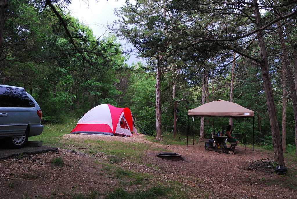
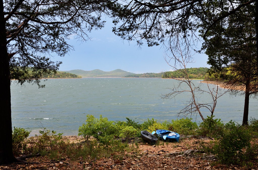
Camping at Big Bay Recreation Area area
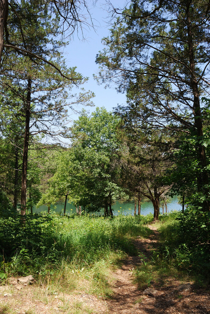
Path to the lakeside
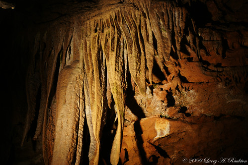
Drapes.
Piney Creek Wilderness - Day Two

Piney Creek Wilderness - Day Two

Piney Creek Wilderness - Day Two
Just Around the Bend
Piney Creek Wilderness - Day One

Covered Bridge in Dogwood Canyon

Table Rock Lake, Branson, Mo.

the point...

Dark Branches Reaching Toward a Starry Night
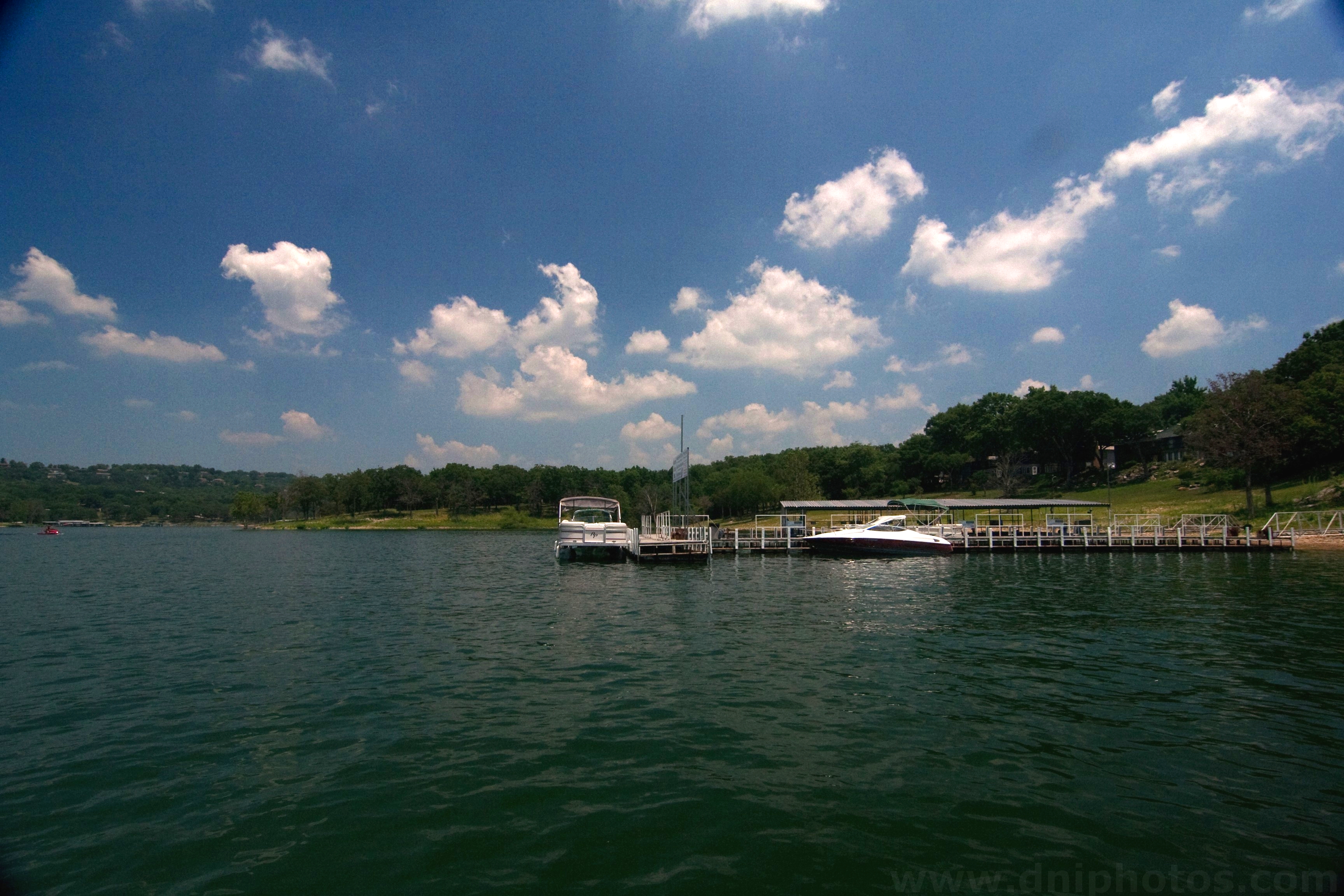
Table Rock dock
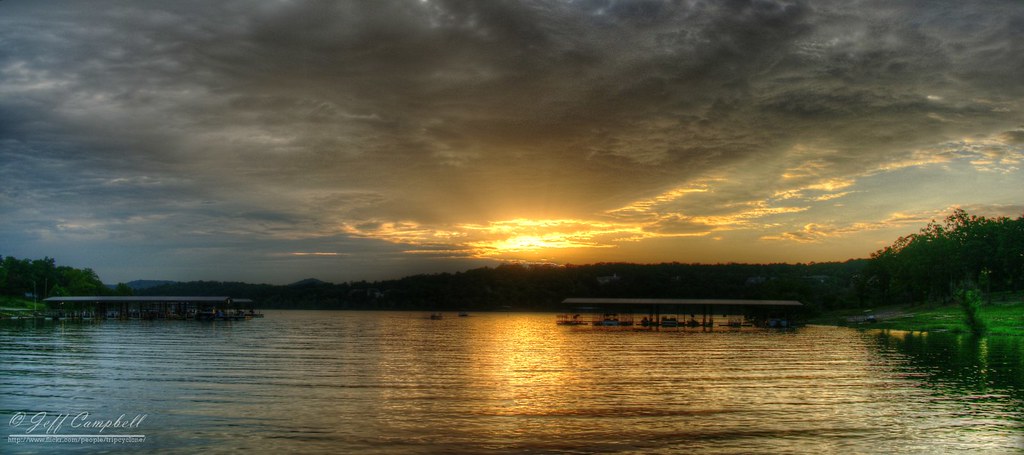
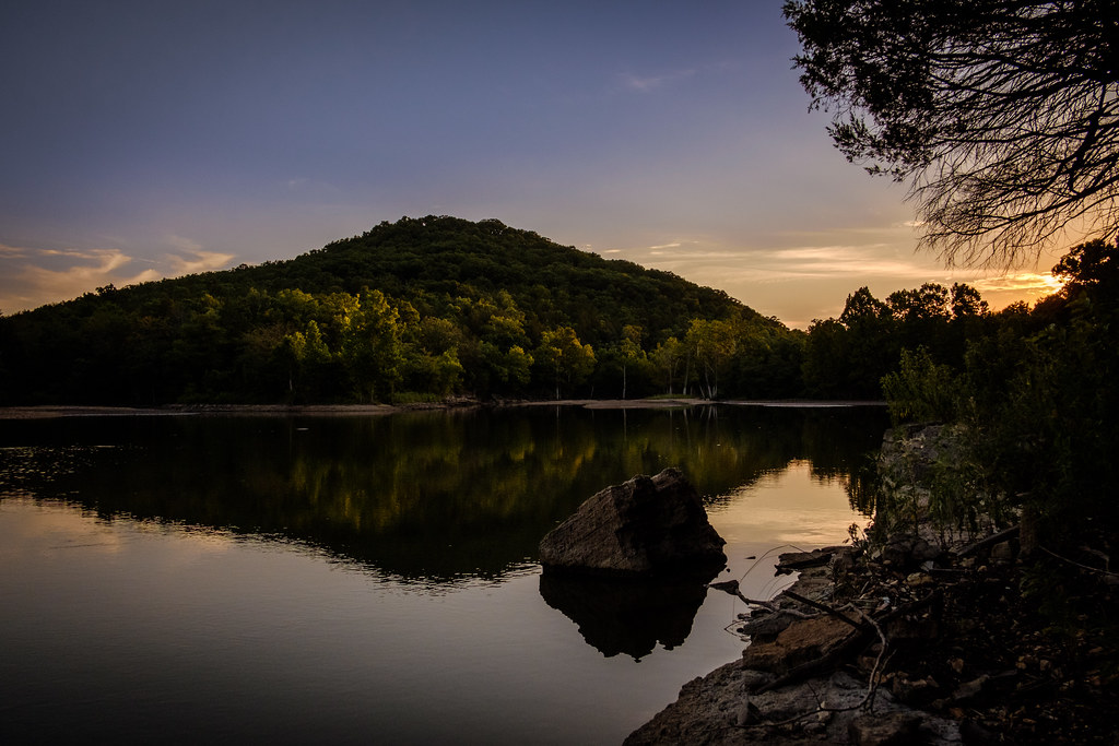
Sunset over Table Rock Lake
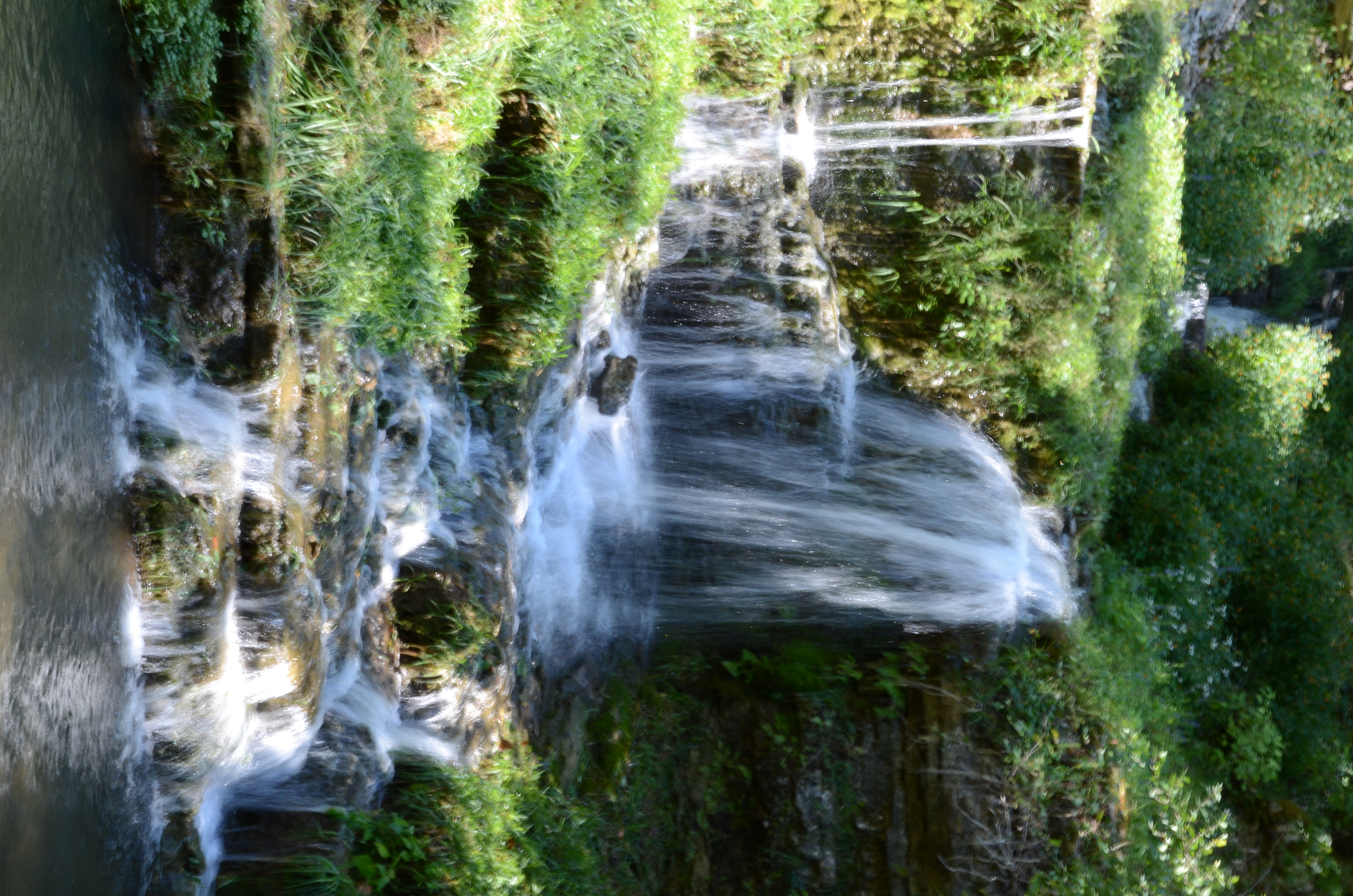
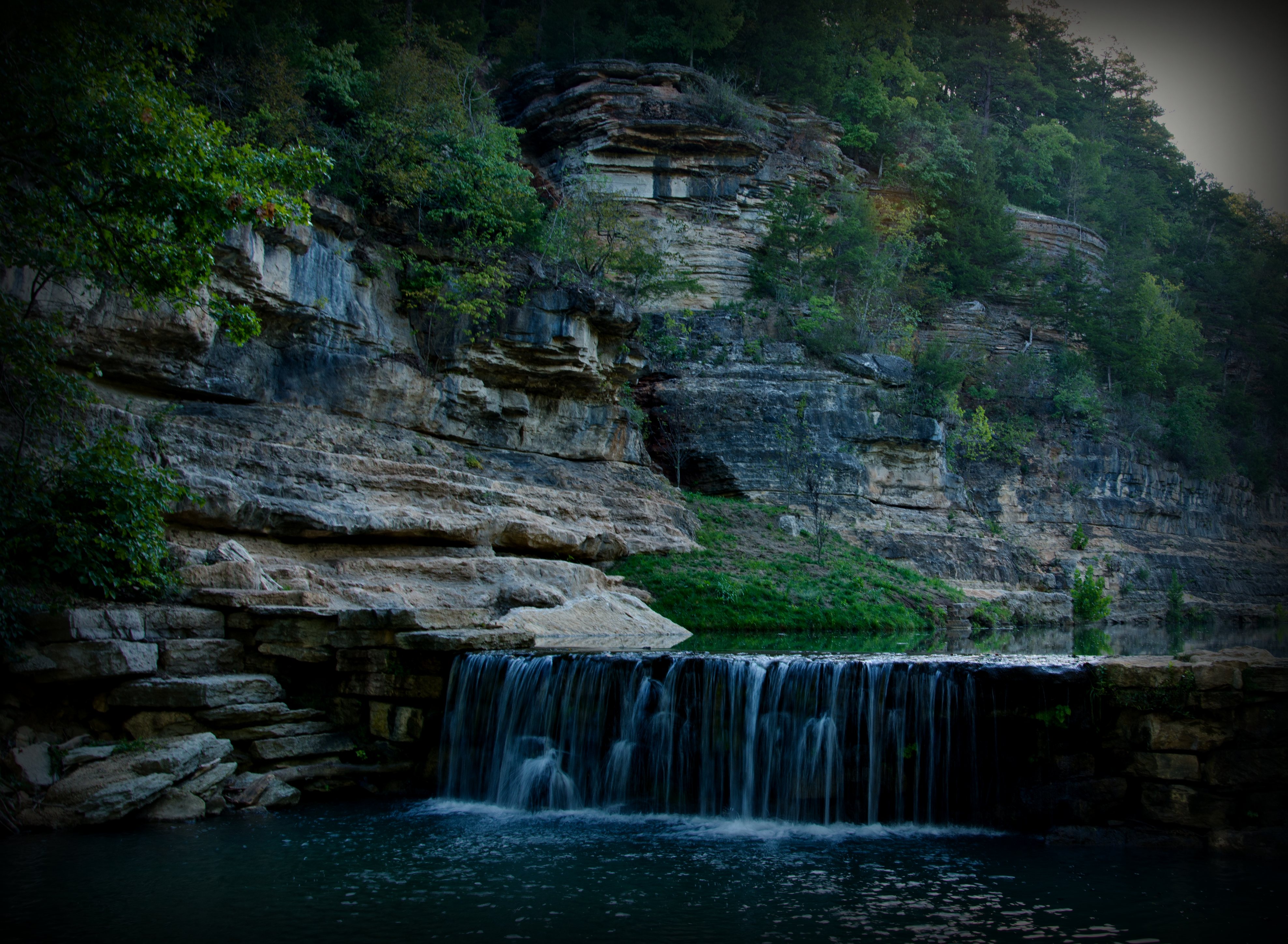
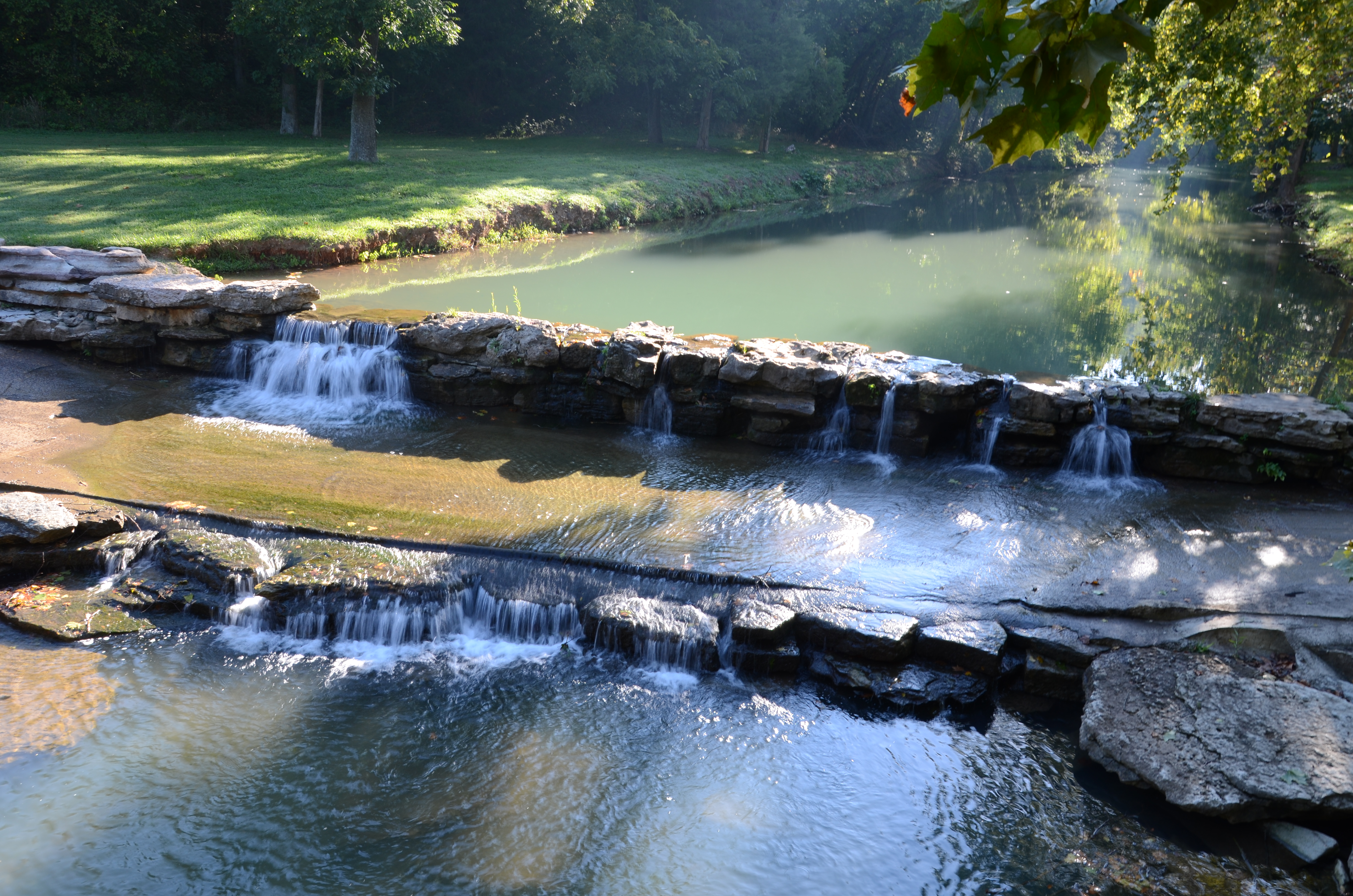
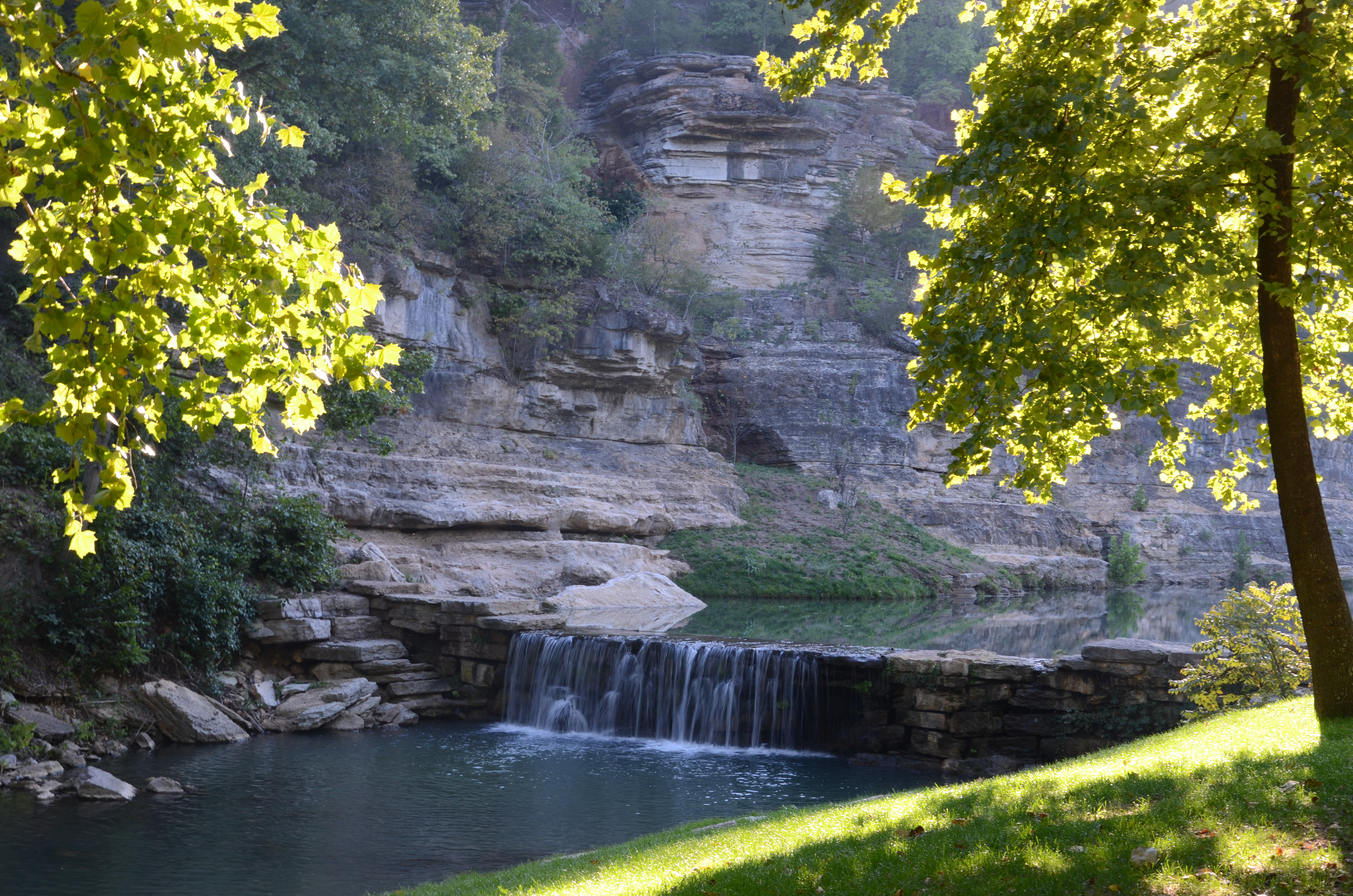
Dogwood Canyon Nature Park - Lampe, Missouri
Dogwood Canyon Nature Park - Lampe, Missouri
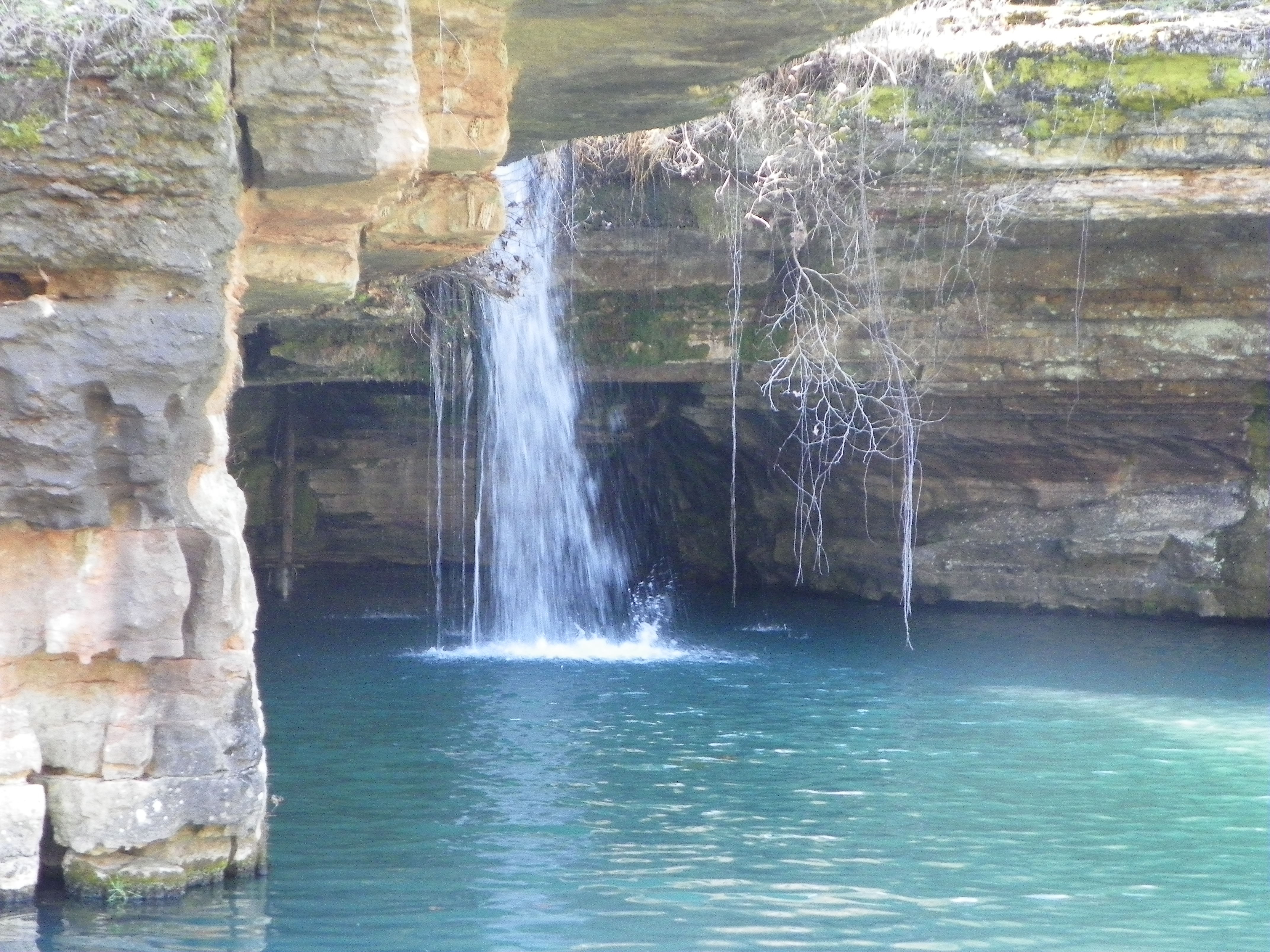
Dogwood Canyon Nature Park - Lampe, Missouri
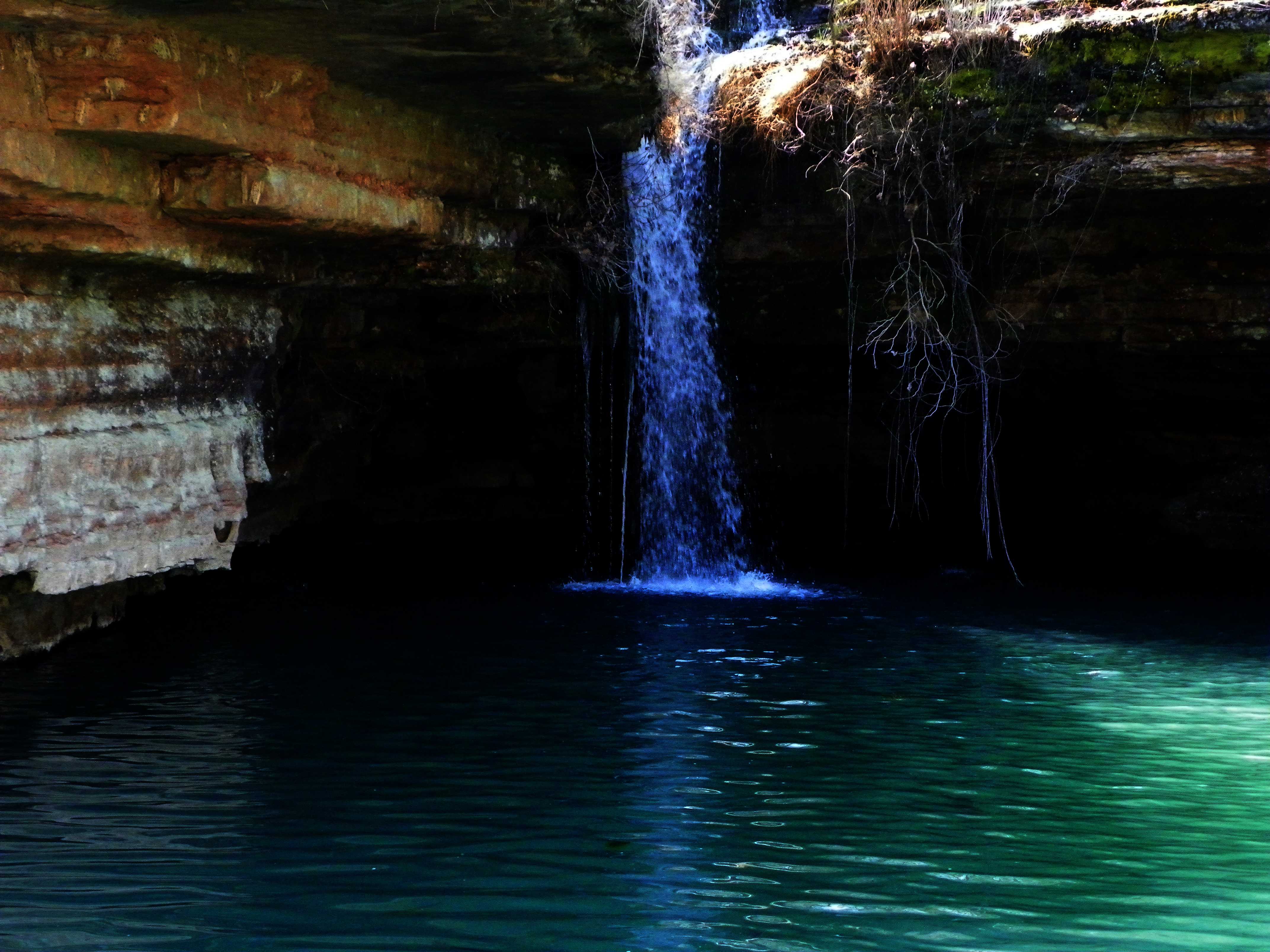
Dogwood Canyon Nature Park - Lampe, Missouri

Sunrise at Lake
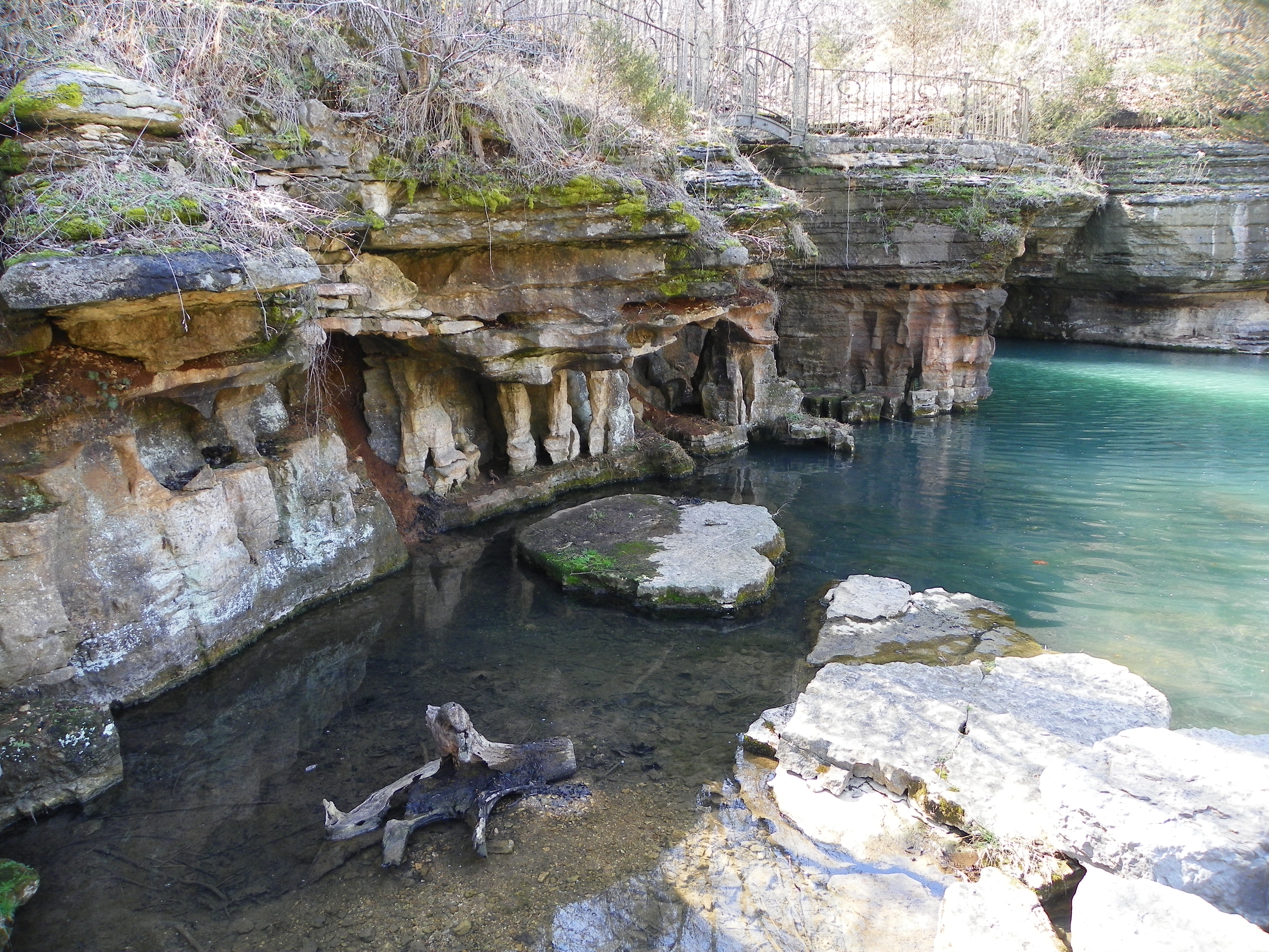
Dogwood Canyon Nature Park - Lampe, Missouri

Dogwood Canyon Nature Park - Lampe, Missouri
Sunset at Piney Creek Wilderness
Loved this place. Miss it. #tablerocklake #friends #love
Dogwood Canyon Nature Park - Lampe, Missouri

Dogwood Canyon Nature Park - Lampe, Missouri
Dogwood Canyon Nature Park - Lampe, Missouri
Dogwood Canyon Nature Park - Lampe, Missouri
Dogwood Canyon Nature Park - Lampe, Missouri
Dogwood Canyon Nature Park - Lampe, Missouri
Dogwood Canyon Nature Park - Lampe, Missouri
Topographic Map of Timberlake Cir, Galena, MO, USA
Find elevation by address:

Places near Timberlake Cir, Galena, MO, USA:
367 Summer Rd
103 Forever Ct
98 Irish Hills Blvd
98 Irish Hills Blvd
98 Irish Hills Blvd
98 Irish Hills Blvd
98 Irish Hills Blvd
98 Irish Hills Blvd
29 Kings Row
Irish Hills Boulevard
State Highway Y
Flat Creek B Township
30 Hickory Dr
31 Midview Dr
29 Midview Dr
179 Deer Park Cir
5 Hilltop Dr
Ruth B Rural Township
347 Lakefront Cir
Ruth B City Township
Recent Searches:
- Elevation of Corso Fratelli Cairoli, 35, Macerata MC, Italy
- Elevation of Tallevast Rd, Sarasota, FL, USA
- Elevation of 4th St E, Sonoma, CA, USA
- Elevation of Black Hollow Rd, Pennsdale, PA, USA
- Elevation of Oakland Ave, Williamsport, PA, USA
- Elevation of Pedrógão Grande, Portugal
- Elevation of Klee Dr, Martinsburg, WV, USA
- Elevation of Via Roma, Pieranica CR, Italy
- Elevation of Tavkvetili Mountain, Georgia
- Elevation of Hartfords Bluff Cir, Mt Pleasant, SC, USA