Elevation of Lost Creek Rd, Ulysses, KY, USA
Location: United States > Kentucky > Lawrence County > Ulysses >
Longitude: -82.686107
Latitude: 37.9070908
Elevation: 193m / 633feet
Barometric Pressure: 99KPa
Elevation Map:
Satellite Map:
Related Photos:

Swainson's Warbler (Limnothlypis swainsonii)

get lazy

_DSC1298.jpg

_DSC1220.jpg

_DSC1223.jpg

Shade Ward Hollow Wetland

Loretta's Birthplace

Path to Jenny Wiley's Grave Site
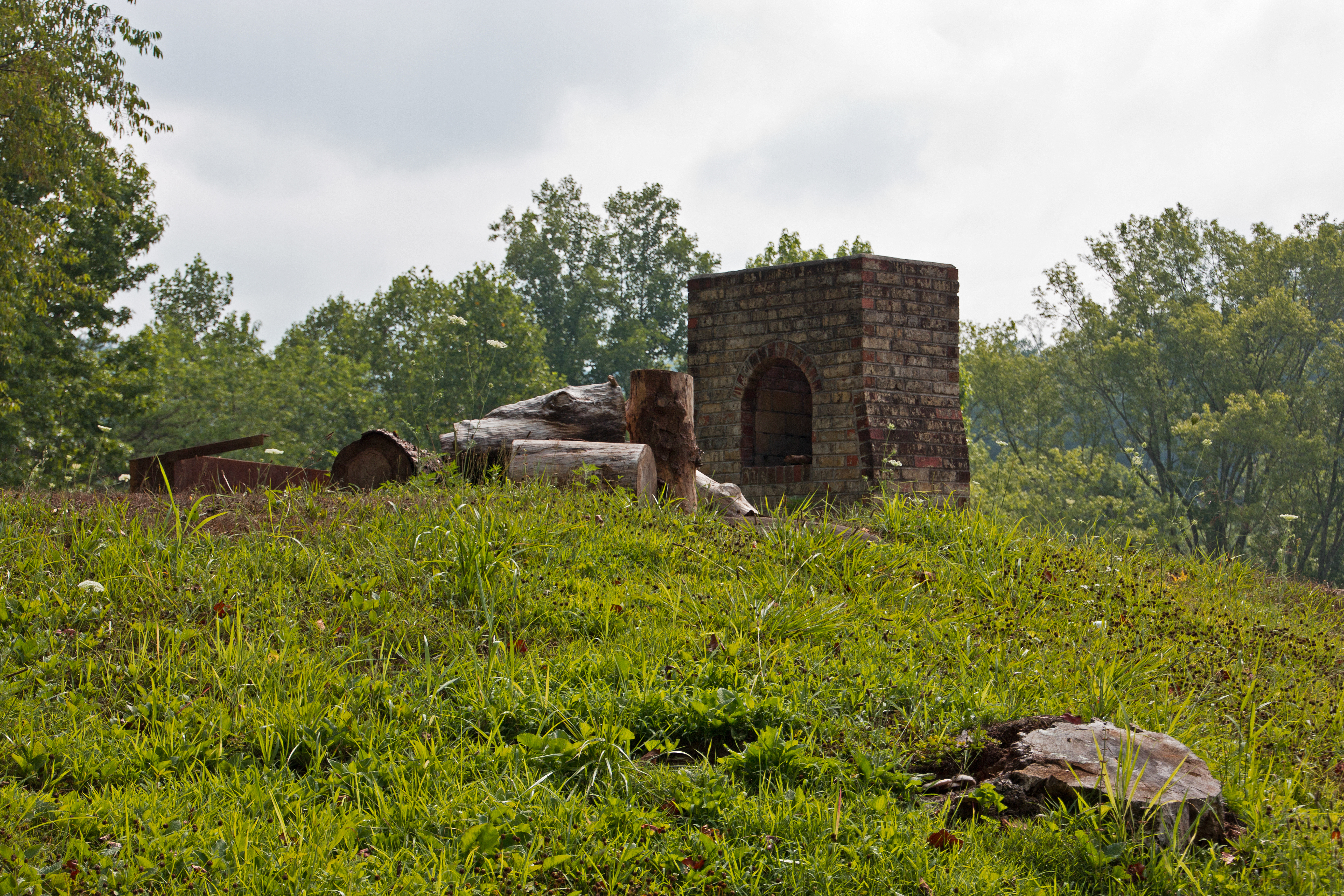
Remnants: Path to Jenny Wiley's Grave Site

T209-30 @ 41.8 Intermediate

Dawkins Under the Stars

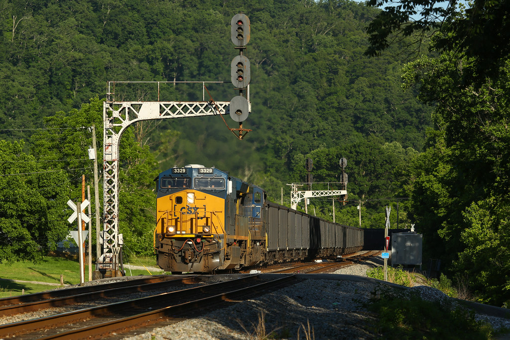
CSX 3405 at Thelma, Kentucky

Night Aspects

CH Cabin

Buffalo Tunnel

CSX T442 @ Dawkins

Lonely Tunnel

Typical Big Sandy Evening

CSX U204 @ CH Cabin

CSX U204 @ Paintsville

CSX C891 @ Dawkins

CSX T508 @ Dawkins

Darkside at Bobs
CSX T444 @ Dawkins

T620-Thelma

CSX Q693-01 at CP RB Cabin

CSX K447 @ Dawkins

CSX T125 coal train at Dawkins

Q693 under the Bobbs signal bridge

Q693-WE Paintsville
Topographic Map of Lost Creek Rd, Ulysses, KY, USA
Find elevation by address:

Places near Lost Creek Rd, Ulysses, KY, USA:
Lost Creek Road
680 Lost Creek Rd
673 Lost Creek Rd
660 Lost Creek Rd
Hatfield Branch Road
Highway 1690
Ulysses
Tutor Key
Tutor Key Rd, Tutor Key, KY, USA
Thelma
80 Riverdale Dr, Thelma, KY, USA
72 Combs Dr, Paintsville, KY, USA
Lyons Ave, Paintsville, KY, USA
KY-, Sitka, KY, USA
Paintsville
KY-, Sitka, KY, USA
Sitka
Staffordsville
103 E Dorton Blvd
Flatgap
Recent Searches:
- Elevation of Corso Fratelli Cairoli, 35, Macerata MC, Italy
- Elevation of Tallevast Rd, Sarasota, FL, USA
- Elevation of 4th St E, Sonoma, CA, USA
- Elevation of Black Hollow Rd, Pennsdale, PA, USA
- Elevation of Oakland Ave, Williamsport, PA, USA
- Elevation of Pedrógão Grande, Portugal
- Elevation of Klee Dr, Martinsburg, WV, USA
- Elevation of Via Roma, Pieranica CR, Italy
- Elevation of Tavkvetili Mountain, Georgia
- Elevation of Hartfords Bluff Cir, Mt Pleasant, SC, USA