Elevation of Lawrence County, KY, USA
Location: United States > Kentucky >
Longitude: -82.777857
Latitude: 38.052675
Elevation: 207m / 679feet
Barometric Pressure: 99KPa
Elevation Map:
Satellite Map:
Related Photos:
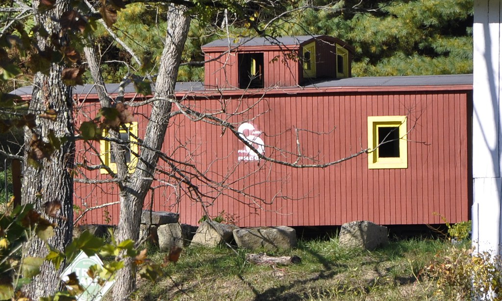
537-954-21
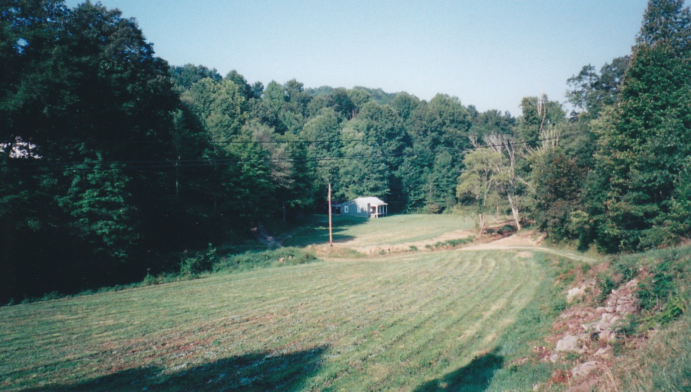
Till the Cows Come Home
IMG_0160.jpg

Eagle Ridge Golf Course, Yatesville Lake State Park, Louisa, KY
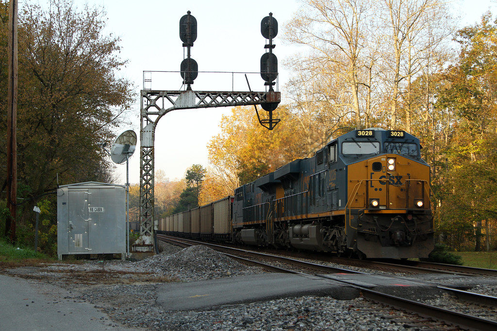
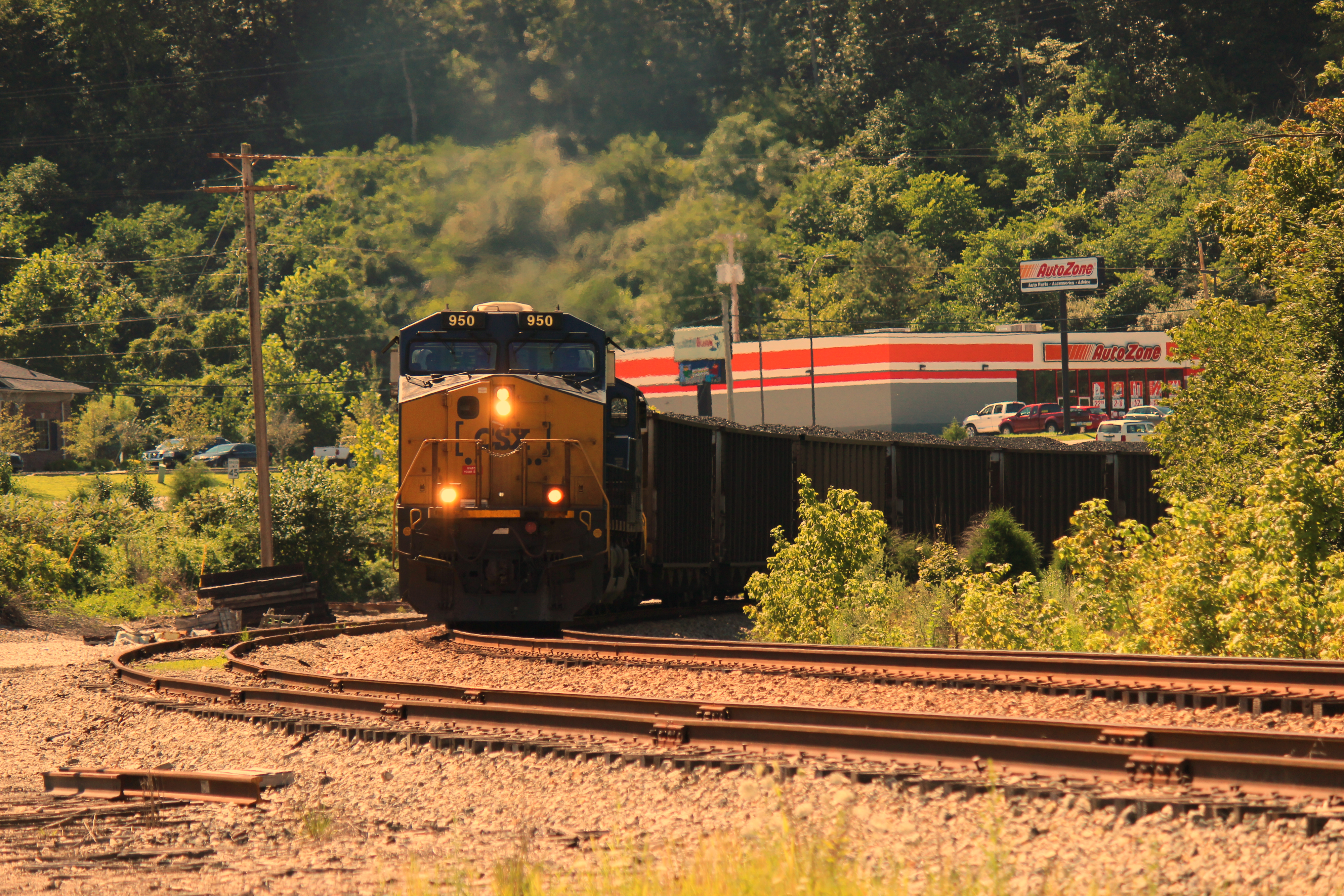
CSX U336 @ RB Cabin
Ulysses, Kentucky (2 pics)
N302-25
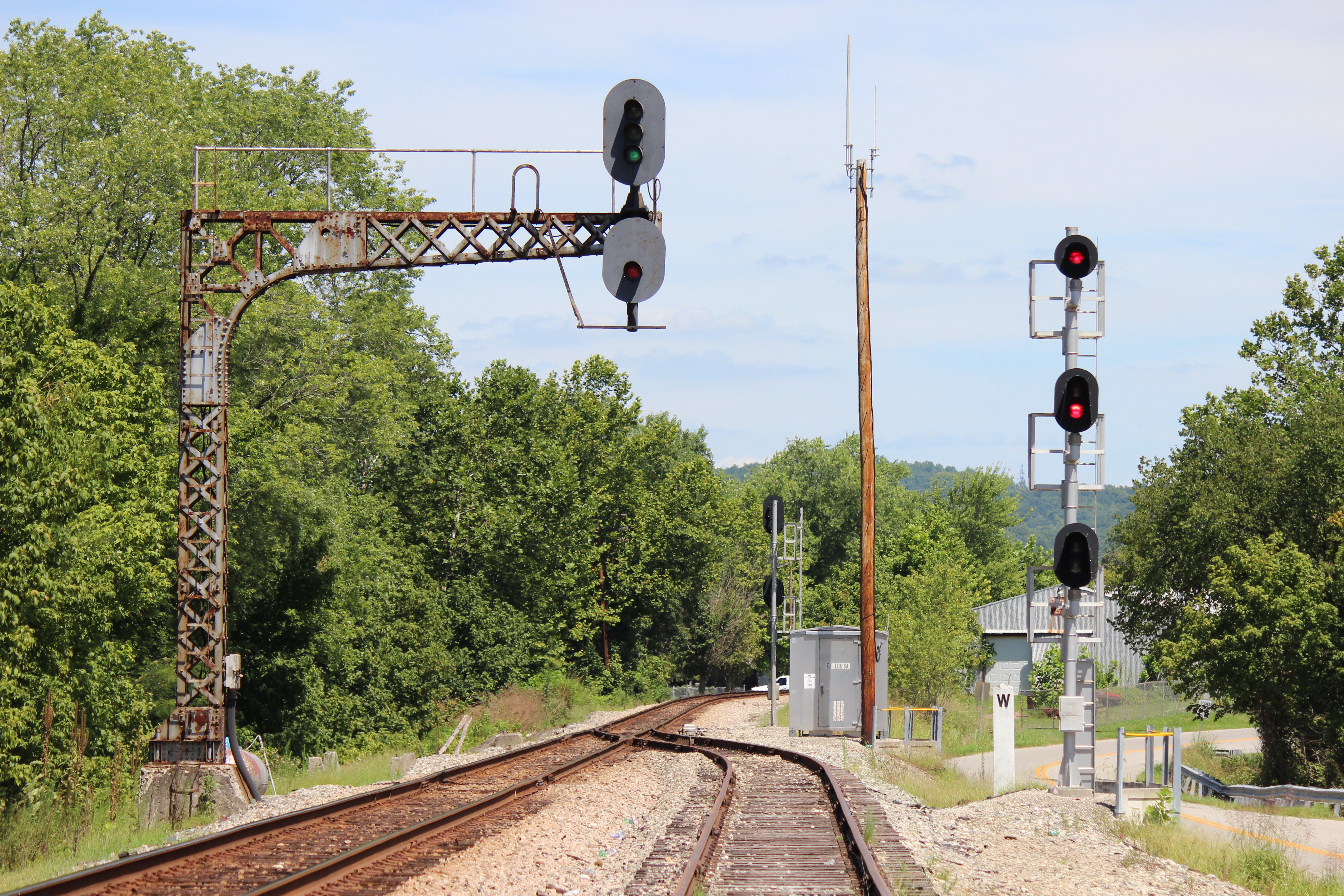
C&O signal at Louisa, KY

still morning on the lake

preparing for take off
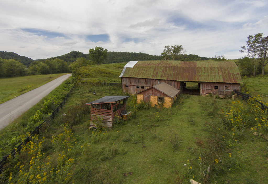
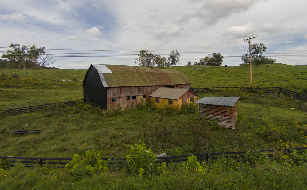
The Old Red Barn on The Hill

Exxon Station, Louisa, Kentucky
Exxon Station, Louisa, Kentucky

My oldest Meggan

My daughters!

my husband

Black-billed Cuckoo
Boarding House

C&O Cantilever Signal Bridge - Louisa KY - 100_1879.JPG

C&O Cantilever Signal Bridge - Louisa KY - 100_1878.JPG

Freedom!
someday, I will be in this photo [2011-365-148]
Topographic Map of Lawrence County, KY, USA
Find elevation by address:

Places in Lawrence County, KY, USA:
Places near Lawrence County, KY, USA:
149 Top Of World Dr
KY-32, Adams, KY, USA
Kentucky 828 & Shady Grove Road
Blaine
Adams
KY-, Blaine, KY, USA
KY-, Webbville, KY, USA
Noris Fork Rd, Louisa, KY, USA
Yatesville Lake Cabin Rental
Noris Fork Road
Hogston Cemetery Road
KY-, Webbville, KY, USA
1004 Tark Hill Rd
KY-, Flatgap, KY, USA
Yatesville Lake State Park
KY-32, Louisa, KY, USA
Busseyville
316 Timberlake Dr
Five Forks Road
Tadpole Rd, Louisa, KY, USA
Recent Searches:
- Elevation of Corso Fratelli Cairoli, 35, Macerata MC, Italy
- Elevation of Tallevast Rd, Sarasota, FL, USA
- Elevation of 4th St E, Sonoma, CA, USA
- Elevation of Black Hollow Rd, Pennsdale, PA, USA
- Elevation of Oakland Ave, Williamsport, PA, USA
- Elevation of Pedrógão Grande, Portugal
- Elevation of Klee Dr, Martinsburg, WV, USA
- Elevation of Via Roma, Pieranica CR, Italy
- Elevation of Tavkvetili Mountain, Georgia
- Elevation of Hartfords Bluff Cir, Mt Pleasant, SC, USA