Elevation of Los Verjeles Rd, Marysville, CA, USA
Location: United States > California > Yuba County > Marysville >
Longitude: -121.36344
Latitude: 39.34256
Elevation: 244m / 801feet
Barometric Pressure: 98KPa
Elevation Map:
Satellite Map:
Related Photos:
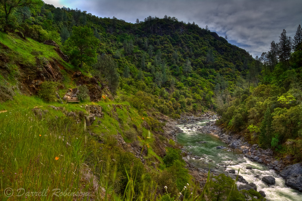
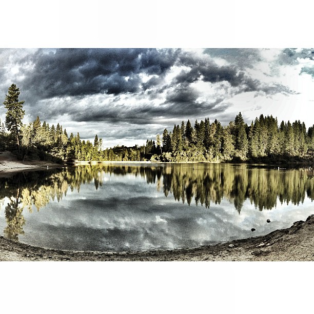
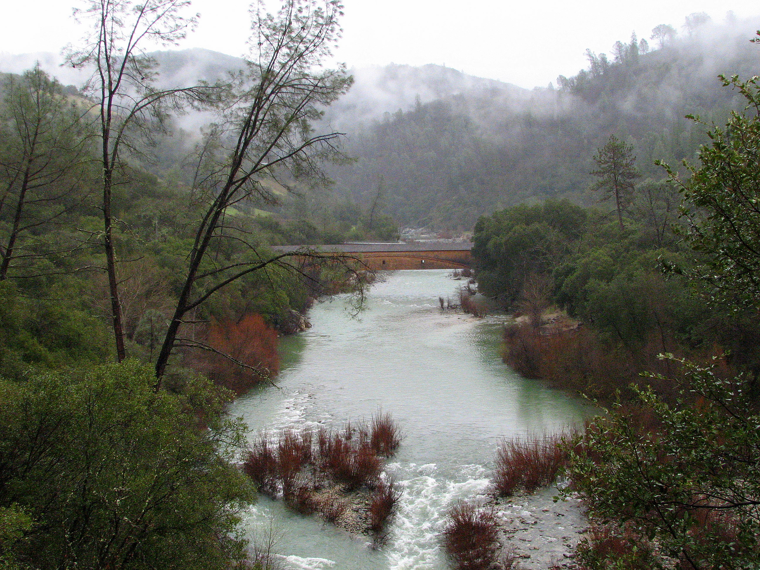
South Yuba River & Buttermilk Bend Trail
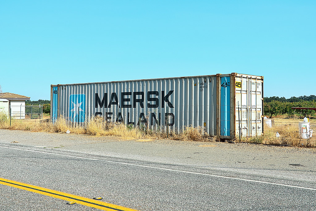
maersk sealand. honcut, ca. 2012.
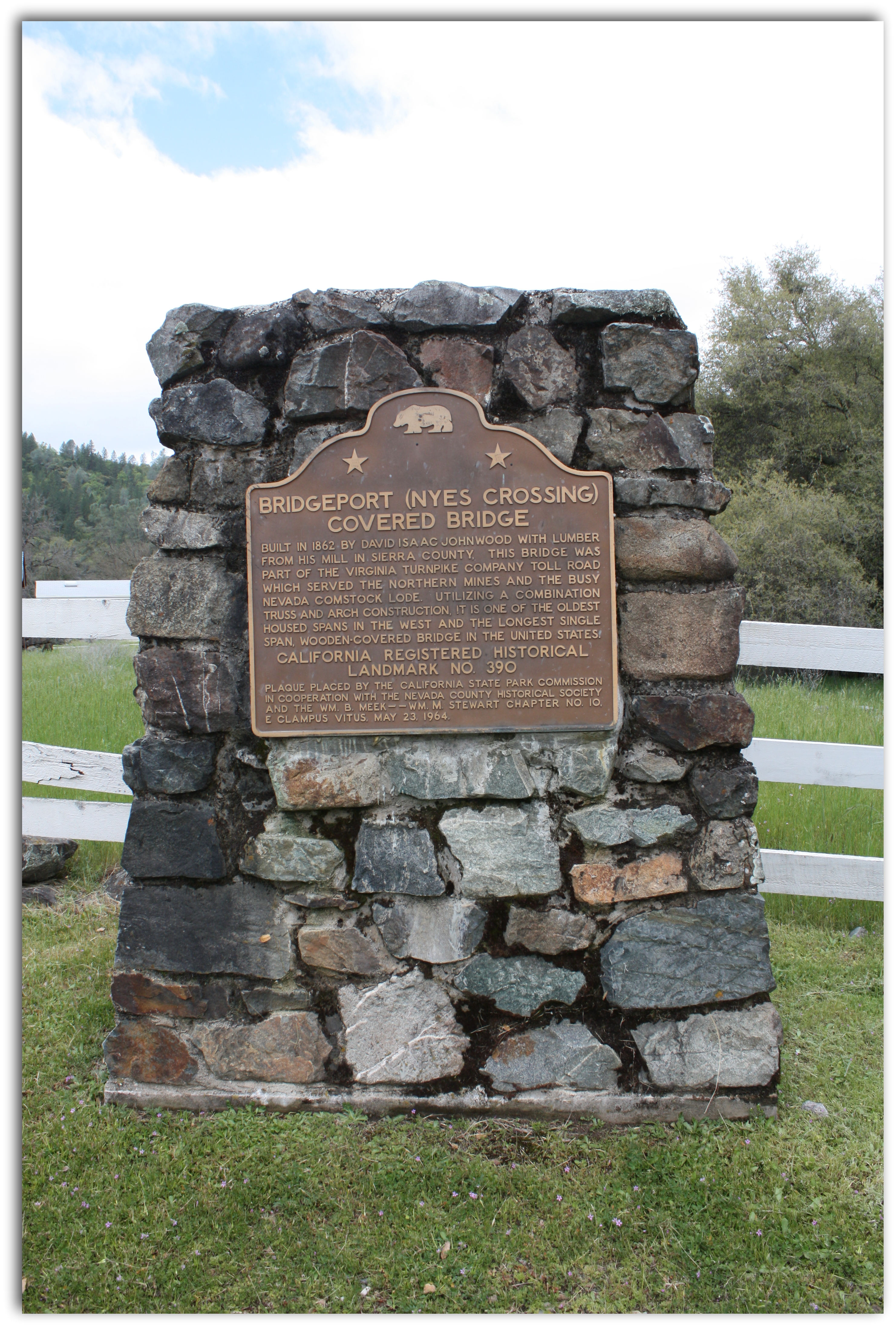
Bridgeport Covered Bridge Historical Marker

Bridgeport Covered Bridge, Infrared
Shadow Play
Chilling with the family and enjoying the view as well as a great weekend.

Covered Bridge
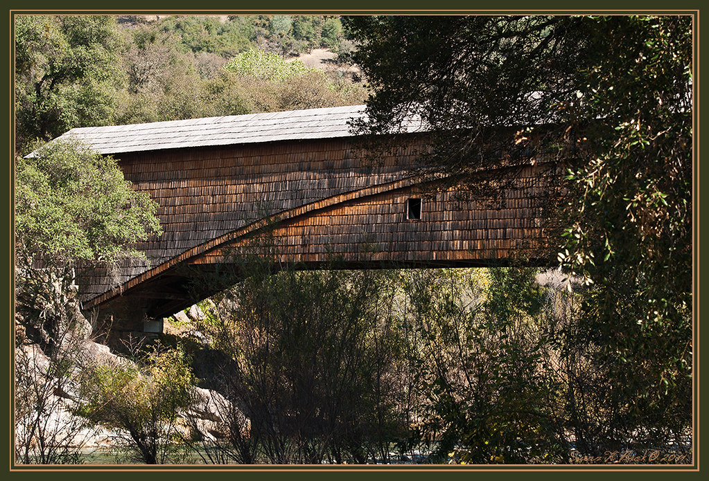
Bridgeport Bridge

Viewing the new through the old

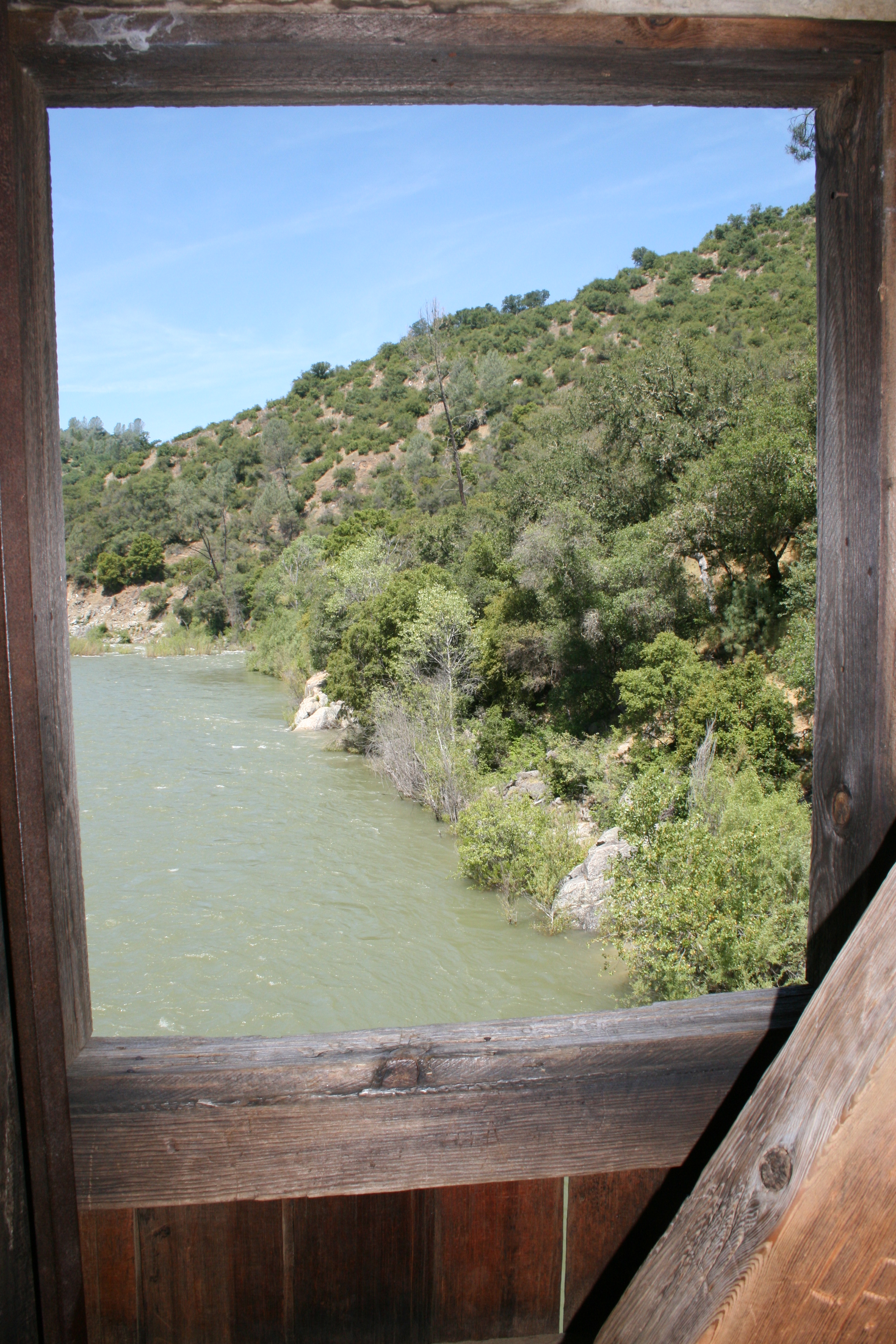
IMG_6376 View from the Bridge window
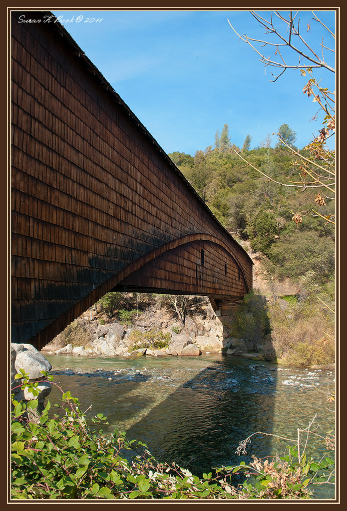
Bridgeport Bridge

IMG_6373 View upriver
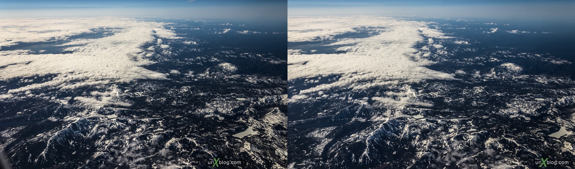
Rocky mountains, USA, CrossView
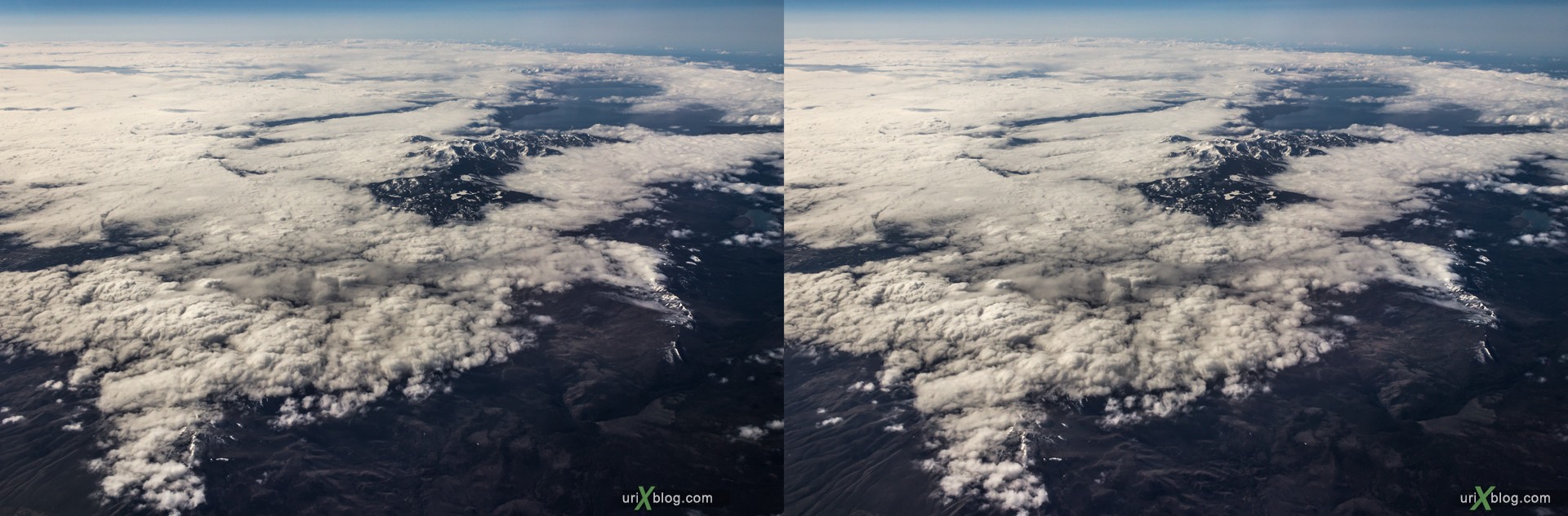
Rocky mountains, USA, CrossView
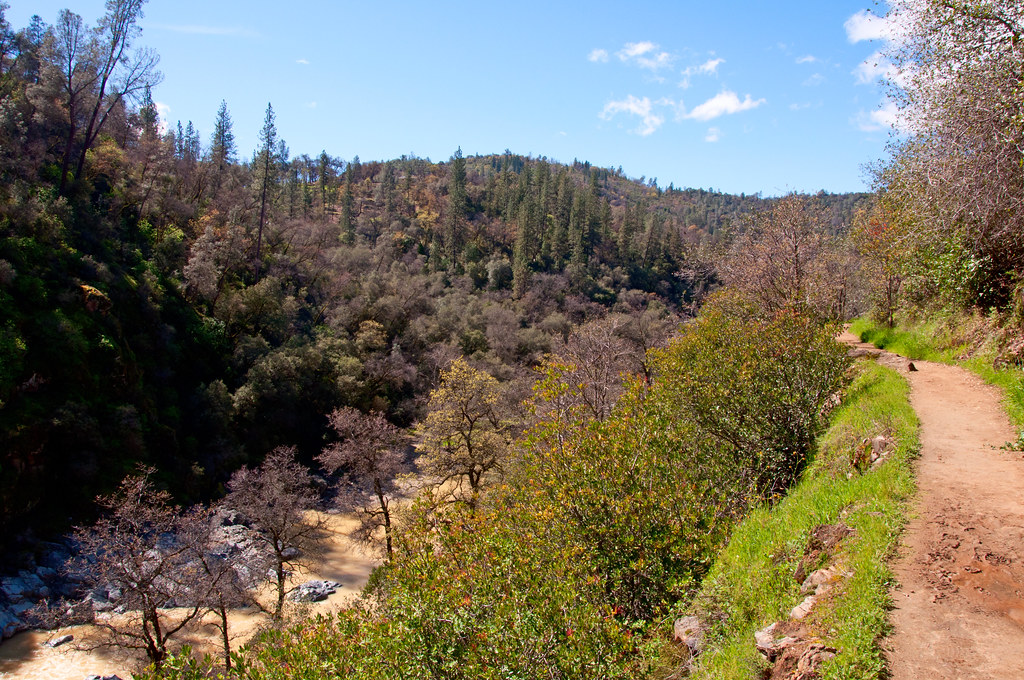
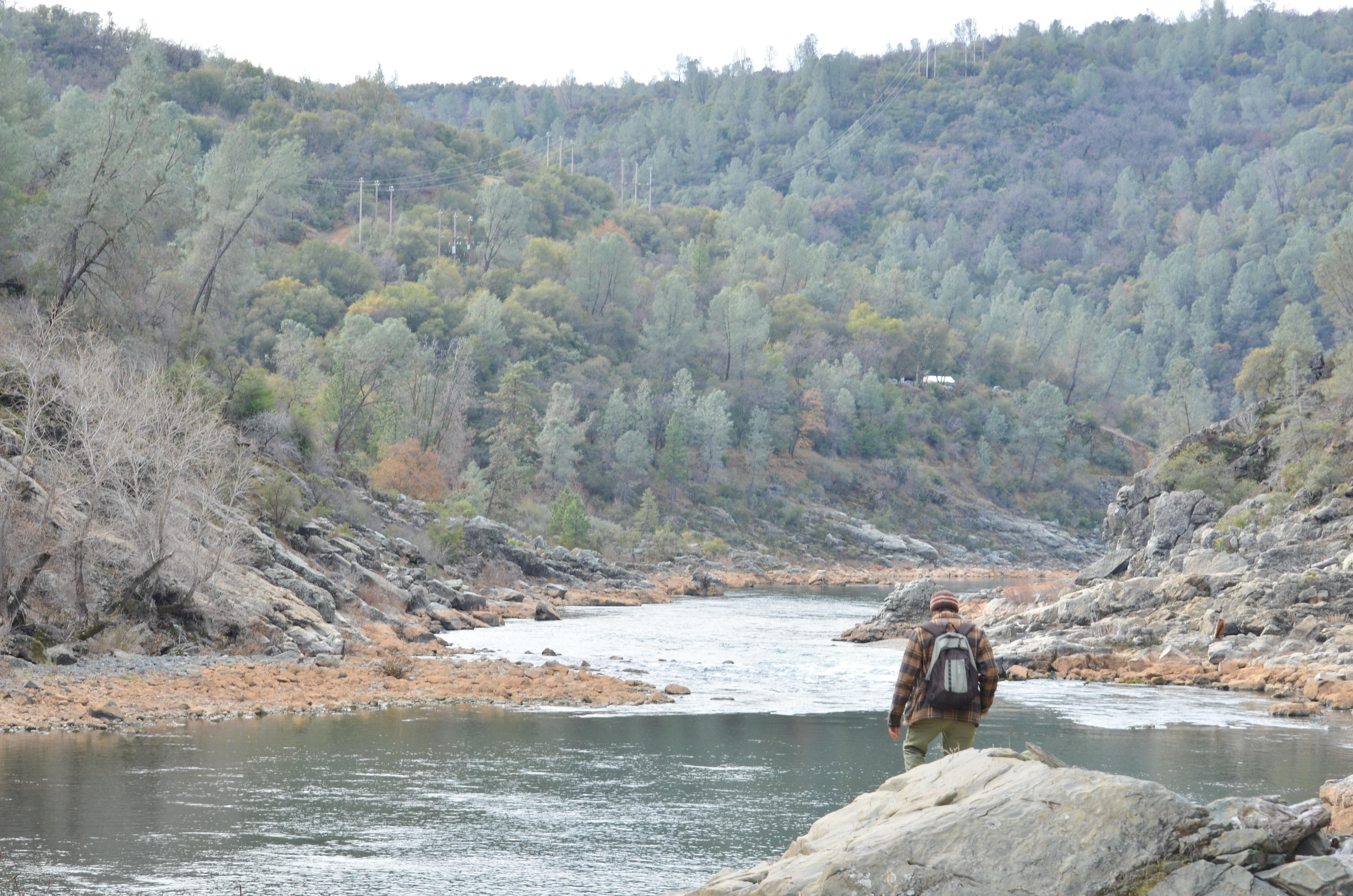
South Yuba River Canyon

Map of South Yuba River State Park
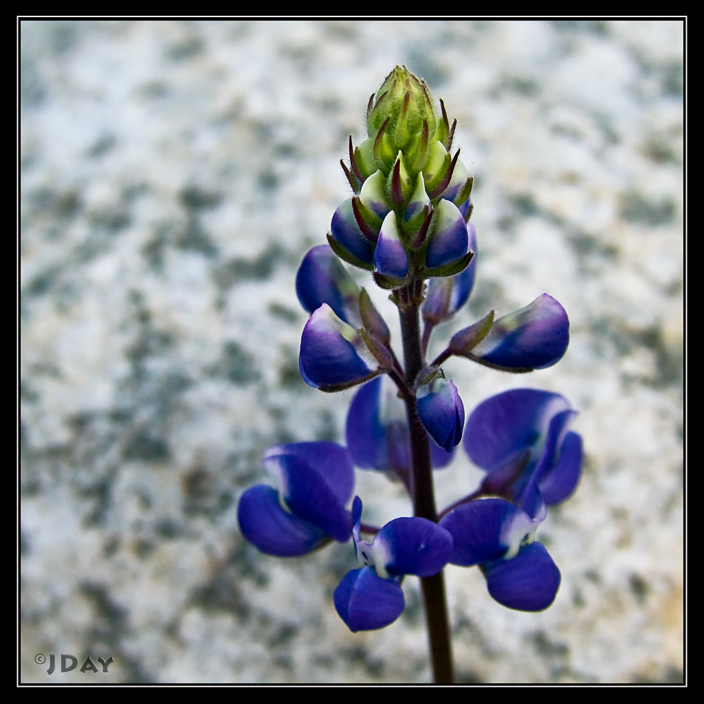
Douglas's Lupine
IMG_0583.JPG
IMG_6374 View downriver

Old Mining Equipment

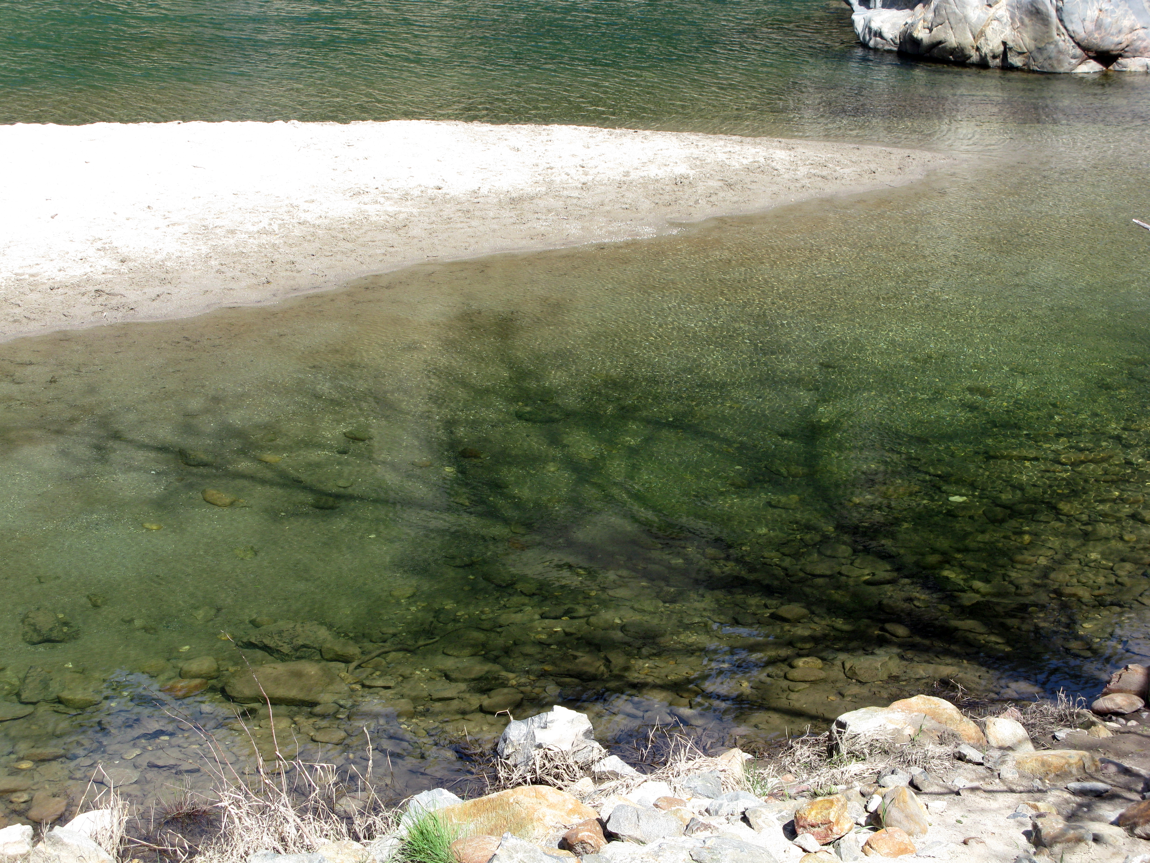
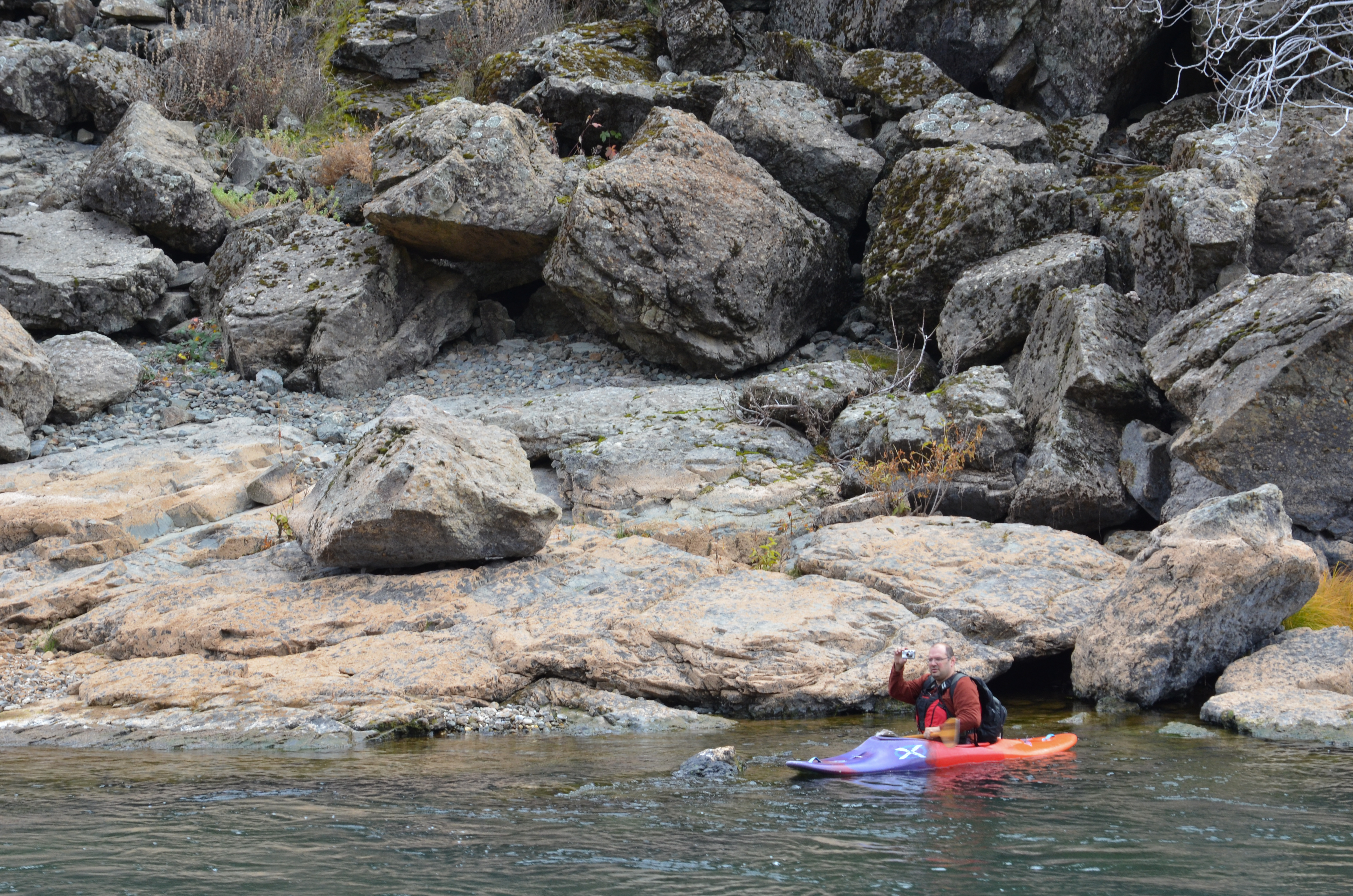
The rocks below

Everywhere You Look
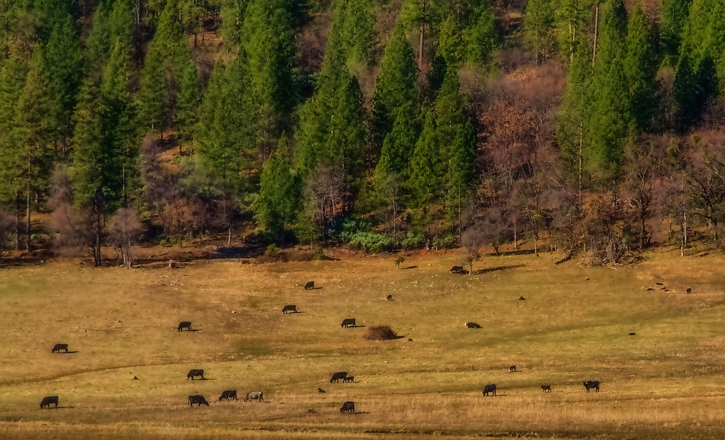
Winter Grazing

The Longest Covered Wooden Bridge

Indian Summer
Tree Shadow
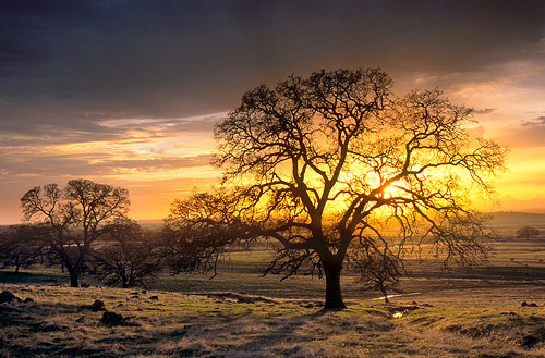
Sunset in the Sacramento Valley Foothills
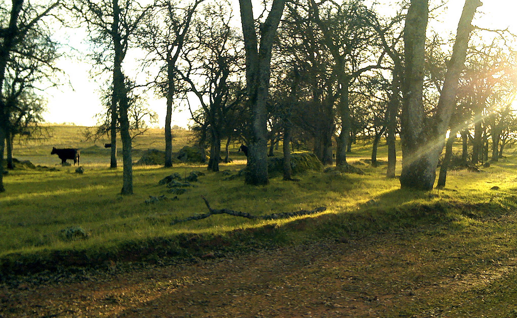
14/365 (Lone Cow)
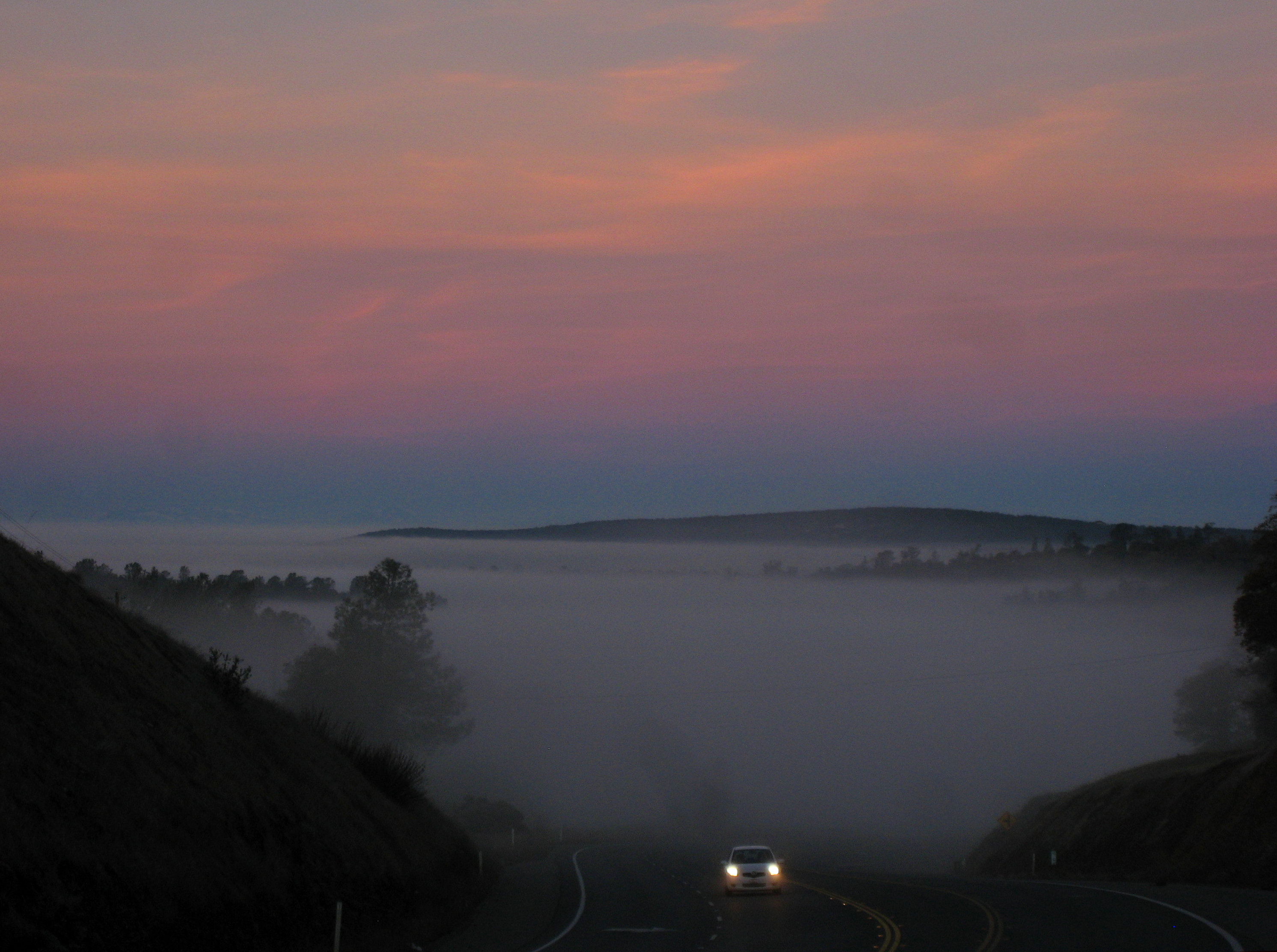
Valley of fog
Building a 3-D model of Yuba River canyon

Yuba in May
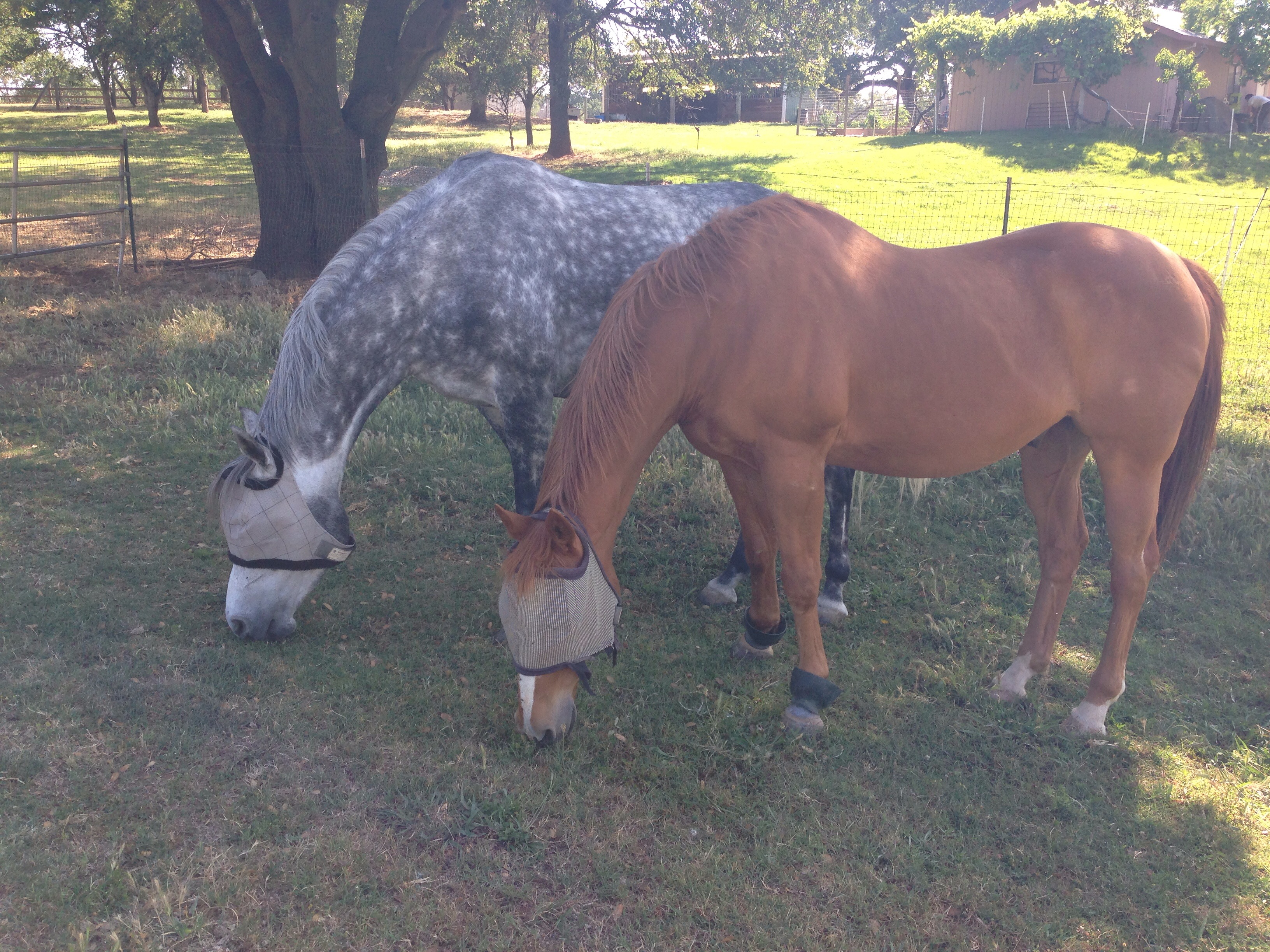
Trapper and Remington grazing
Covered Bridge, Bridgeport, Jan 1 2011
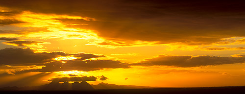
Sunset Over the Sutter Buttes

Daley Ranch
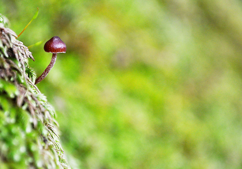
Miniature mushroom
Building a 3-D model of Yuba River canyon
Building a 3-D model of Yuba River canyon

A Time for Giving Thanks
Topographic Map of Los Verjeles Rd, Marysville, CA, USA
Find elevation by address:

Places near Los Verjeles Rd, Marysville, CA, USA:
7145 Cross Star Trail
12345 Trails End Ln
7122 Marysville Rd
12167 Fargo Way
Collins Lake Rd, Browns Valley, CA, USA
7318 Michelle Way
Michelle Way
Therese Trail
6942 Therese Trail
12172 Dolan Harding Rd
6415 Bayberry Ln
7156 White Oak Ln
7202 White Oak Ln
11419 Shadow Ln
7420 White Oak Ln
11178 Township Rd
7384 Redhill Way
Begonia Way
Mountain View Terrace, Browns Valley, CA, USA
11481 Mourning Dove
Recent Searches:
- Elevation of Corso Fratelli Cairoli, 35, Macerata MC, Italy
- Elevation of Tallevast Rd, Sarasota, FL, USA
- Elevation of 4th St E, Sonoma, CA, USA
- Elevation of Black Hollow Rd, Pennsdale, PA, USA
- Elevation of Oakland Ave, Williamsport, PA, USA
- Elevation of Pedrógão Grande, Portugal
- Elevation of Klee Dr, Martinsburg, WV, USA
- Elevation of Via Roma, Pieranica CR, Italy
- Elevation of Tavkvetili Mountain, Georgia
- Elevation of Hartfords Bluff Cir, Mt Pleasant, SC, USA