Elevation of Loreburn, SK S0H, Canada
| Latitude | 51.2300764 |
|---|---|
| Longitude | -106.5985423 |
| Elevation | 616m / 2021feet |
| Barometric Pressure | 941KPa |
Related Photos:

Saskatchewan: Elbow View Trail
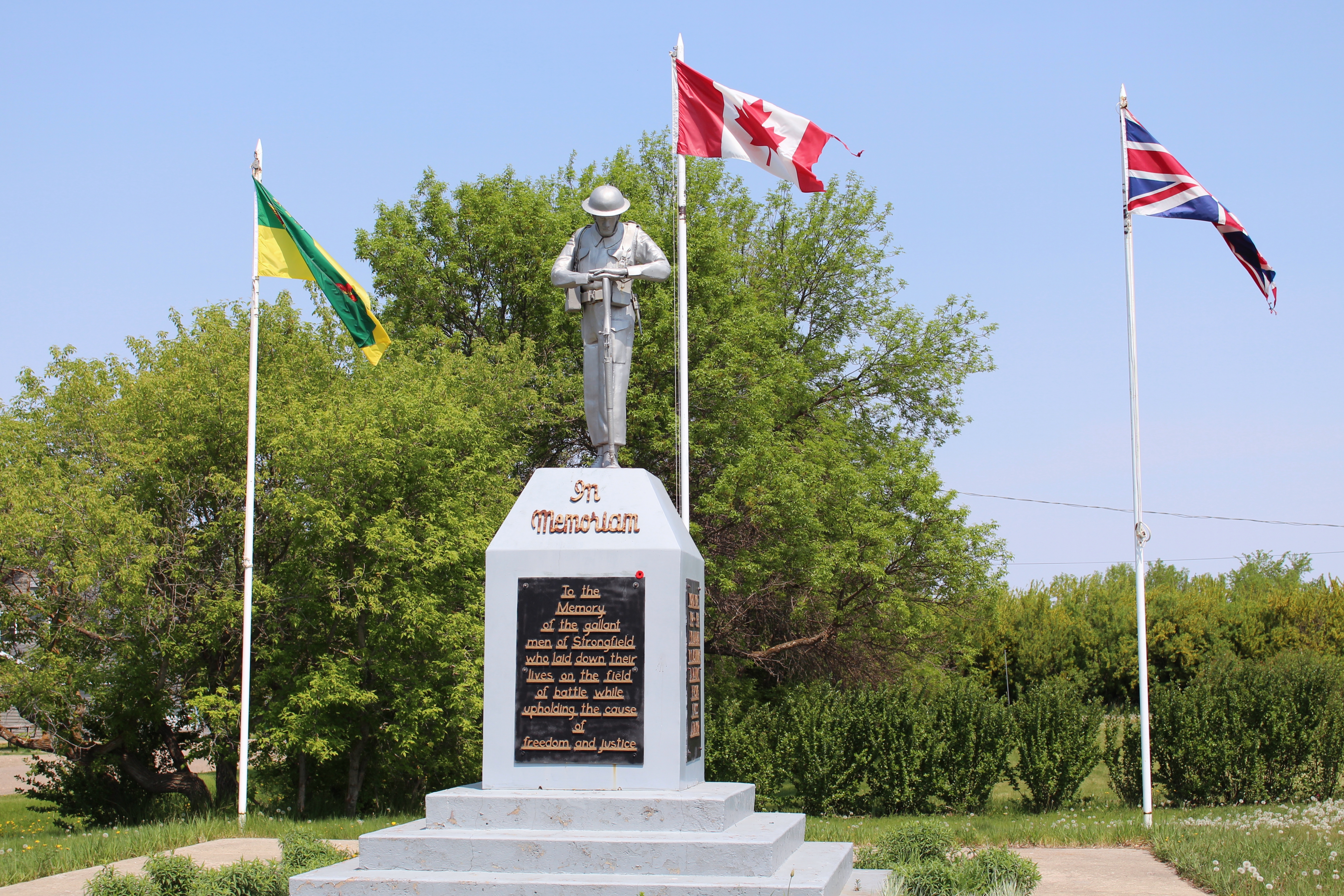
Strongfield Cenotaph (Strongfield, Saskatchewan)
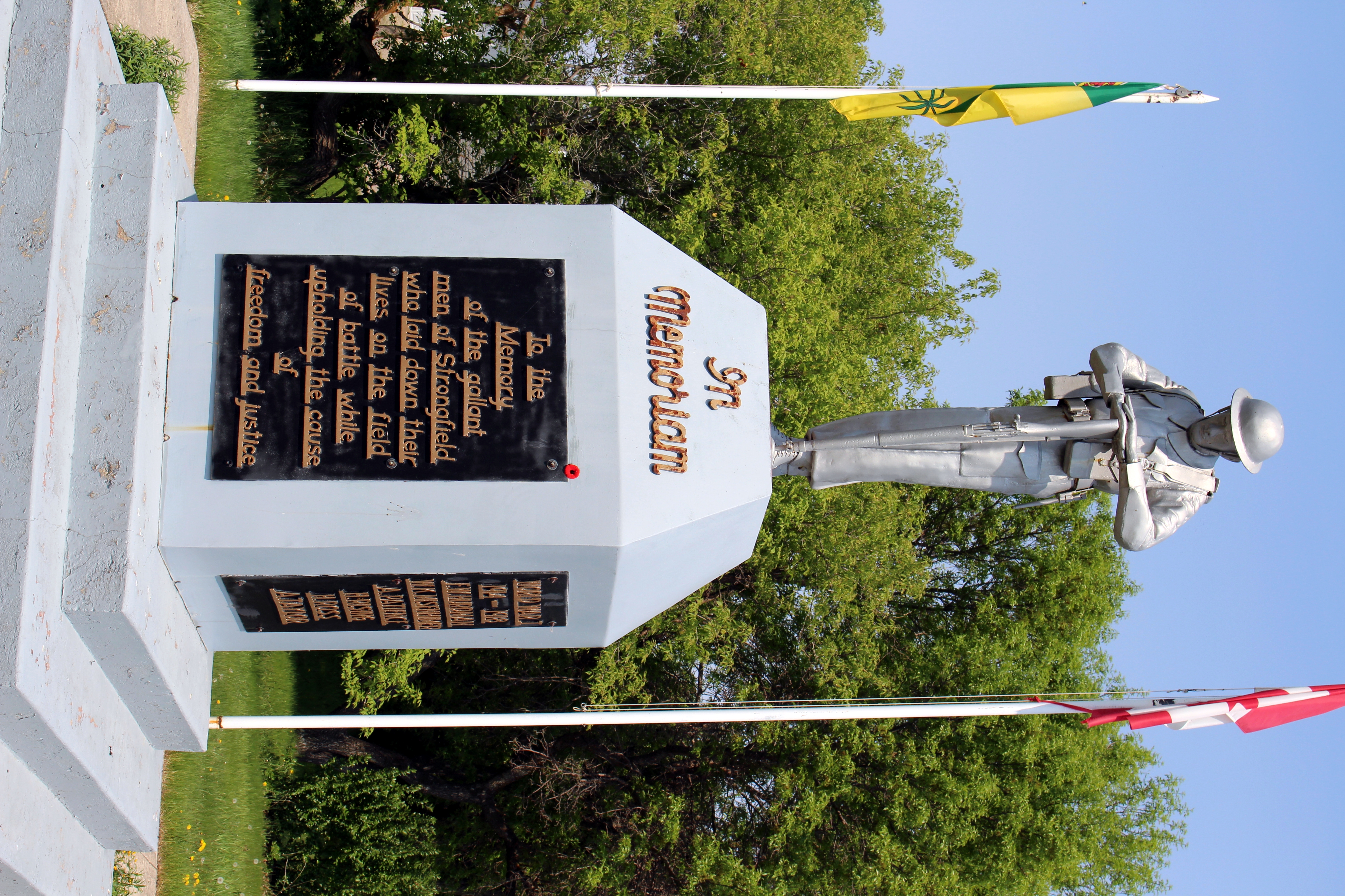
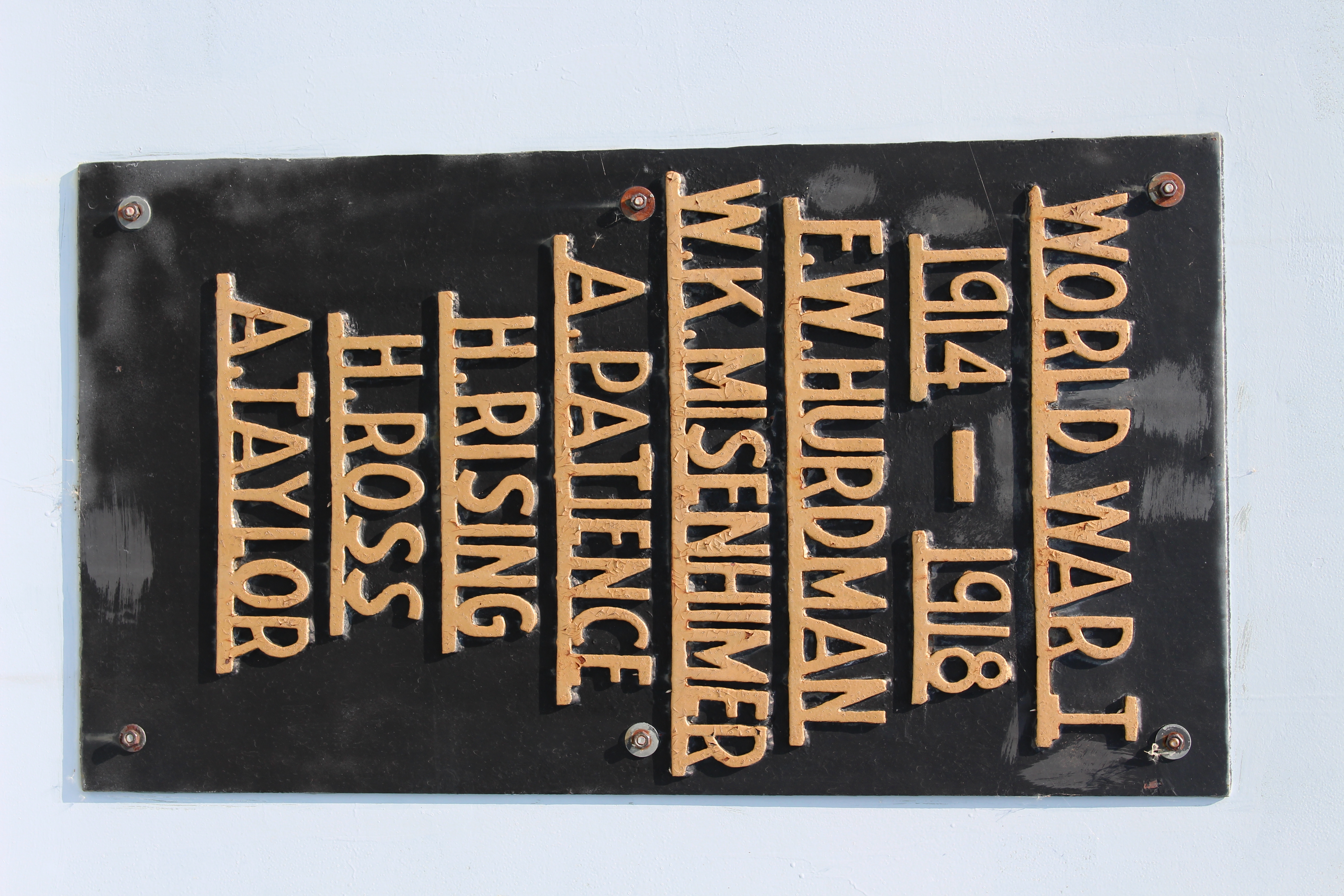
Strongfield Cenotaph (Strongfield, Saskatchewan)
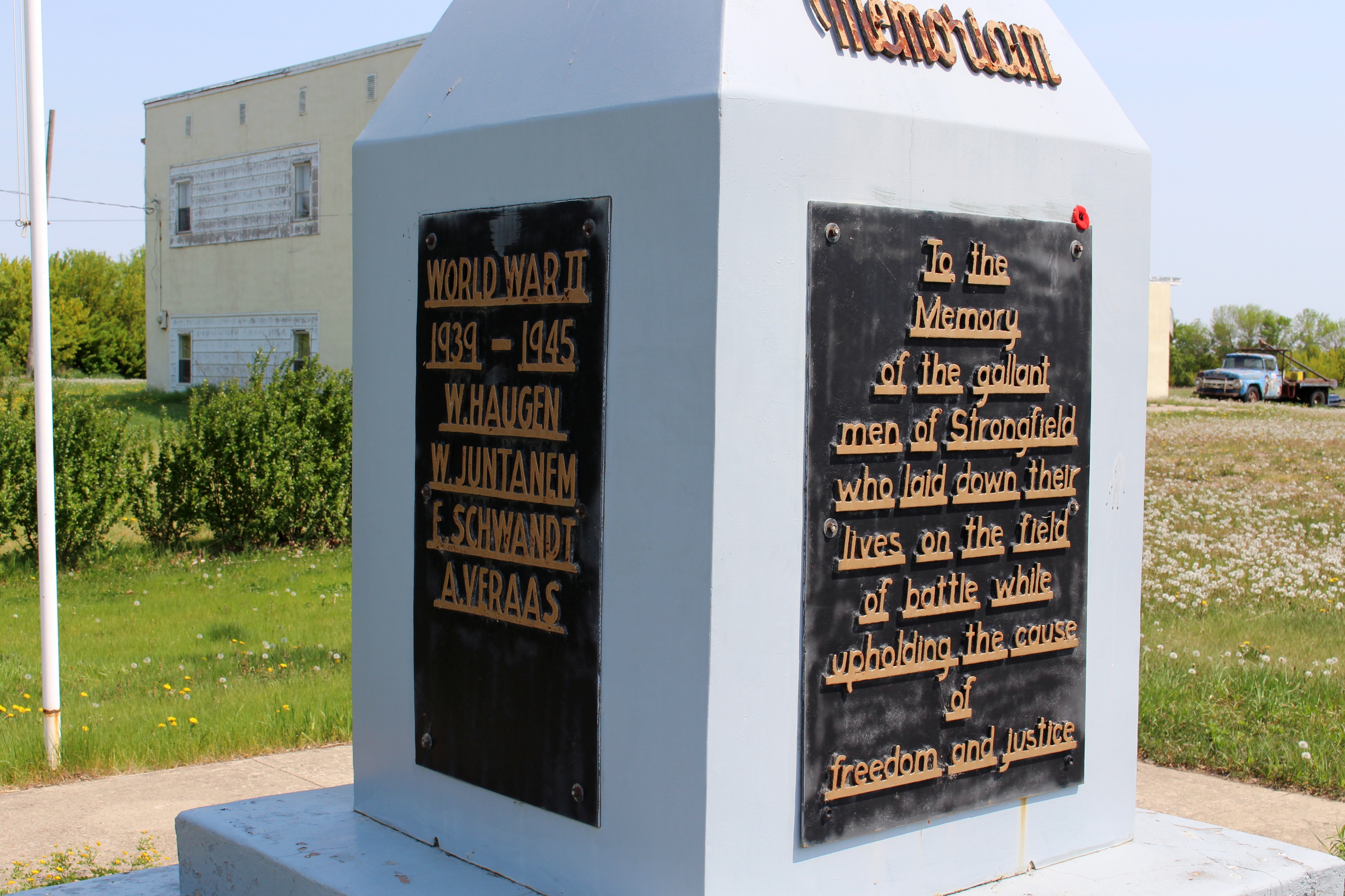
Strongfield Cenotaph (Strongfield, Saskatchewan)
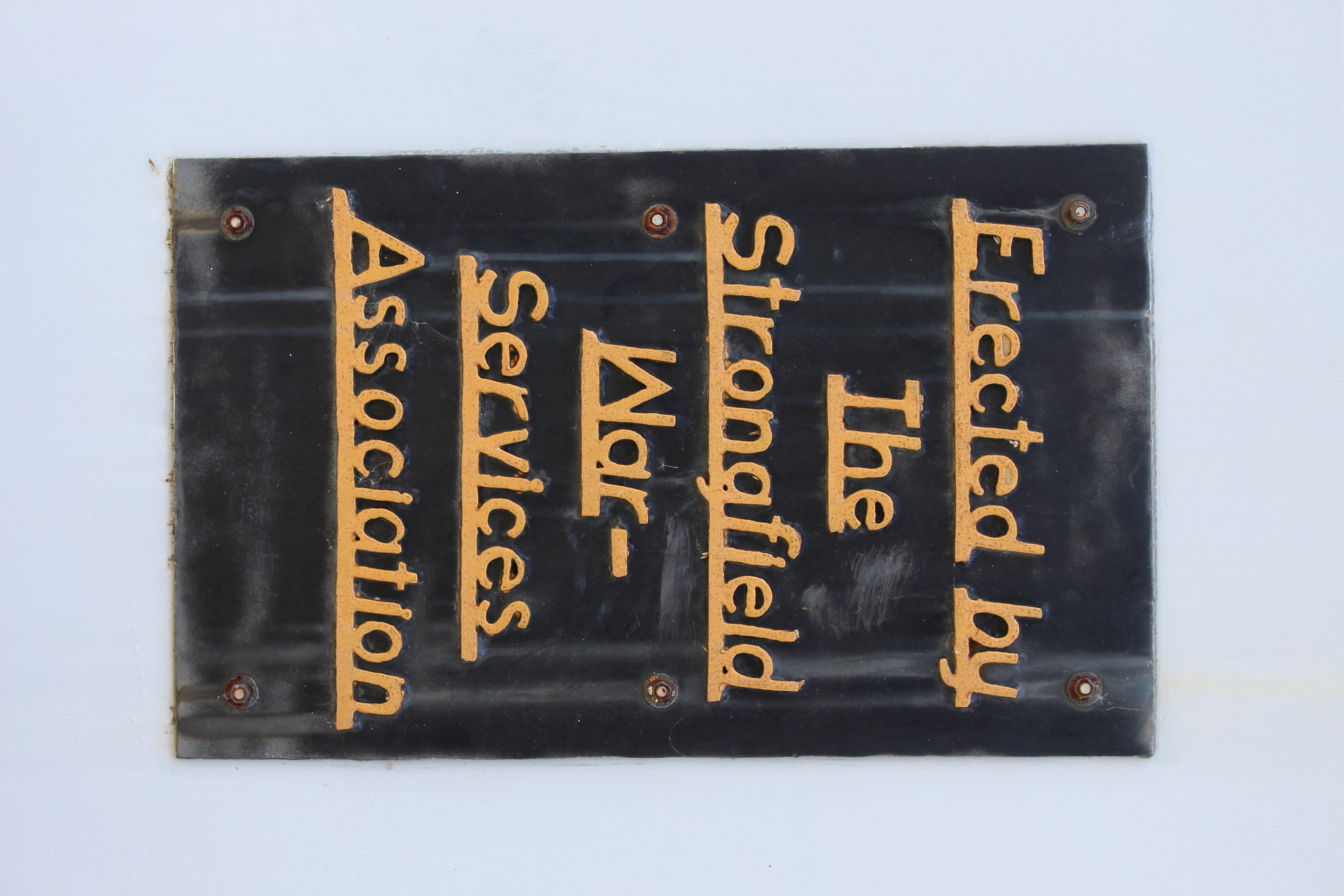
Strongfield Cenotaph (Strongfield, Saskatchewan)
Strongfield Cenotaph (Strongfield, Saskatchewan)
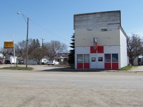
SK10d152 Flatlander & May's, Elbow Saskatchewan 2010
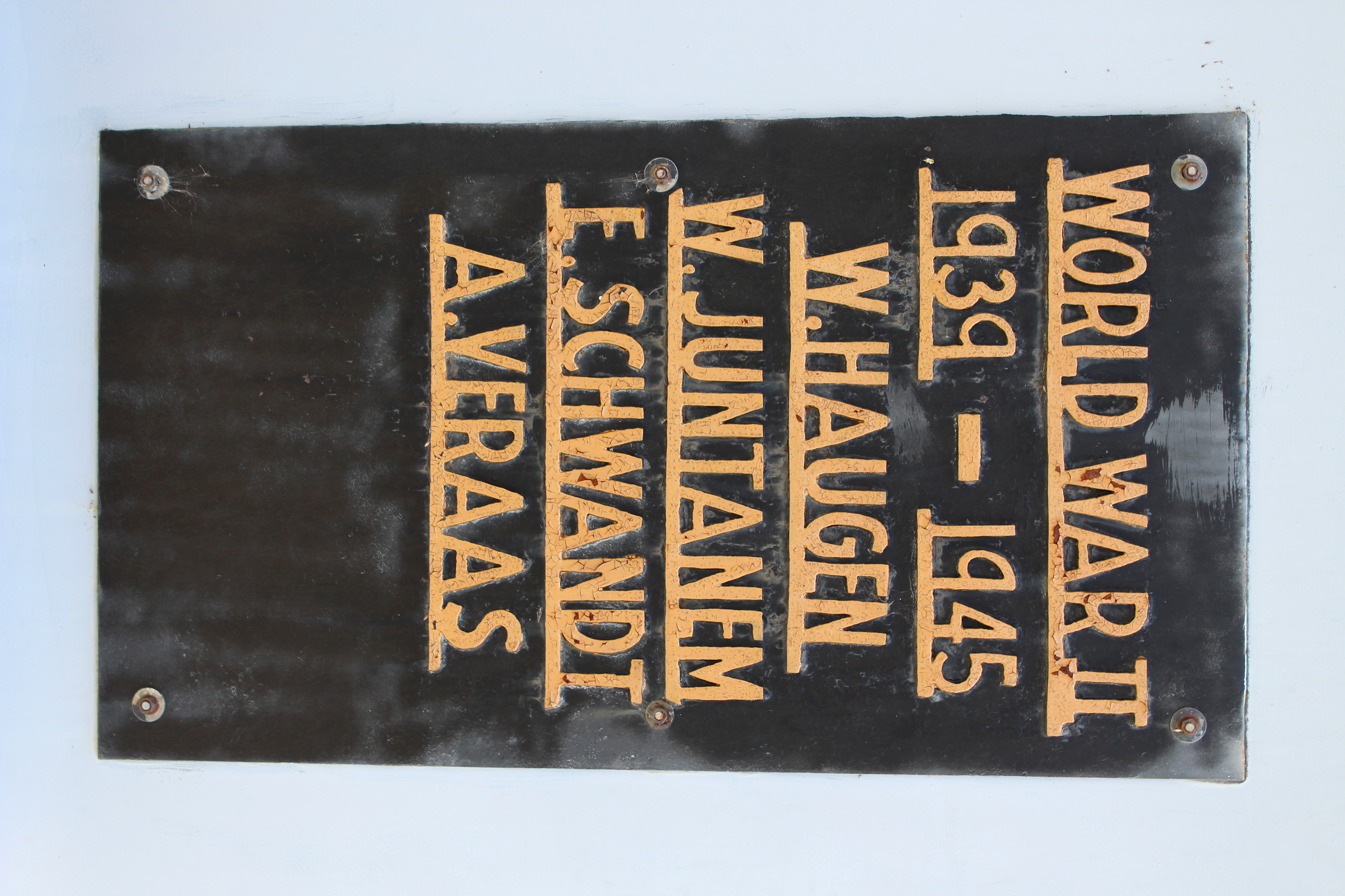
Strongfield Cenotaph (Strongfield, Saskatchewan)
2013-08-04 15.14.37_Snapseed
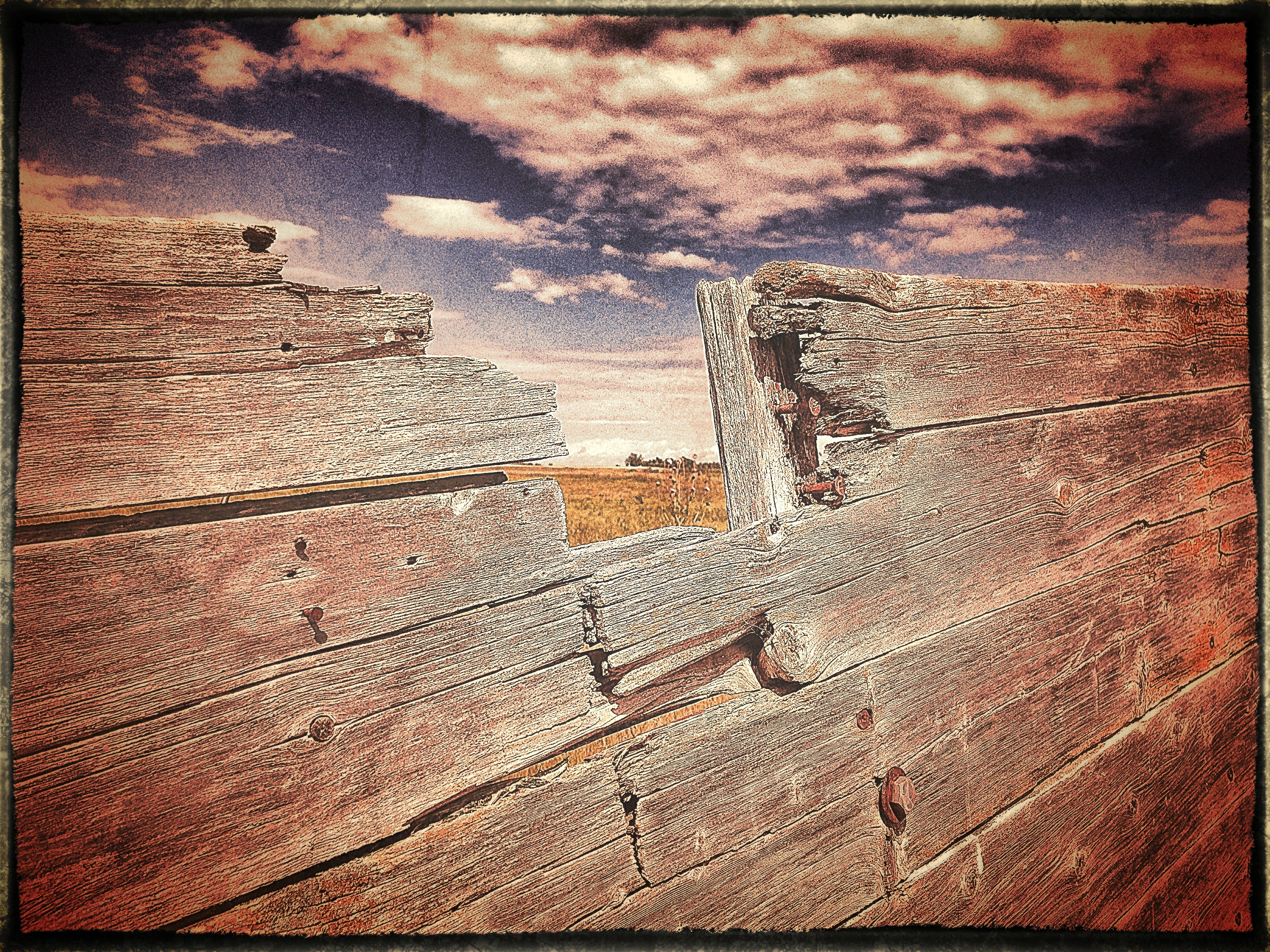
Years of Weather
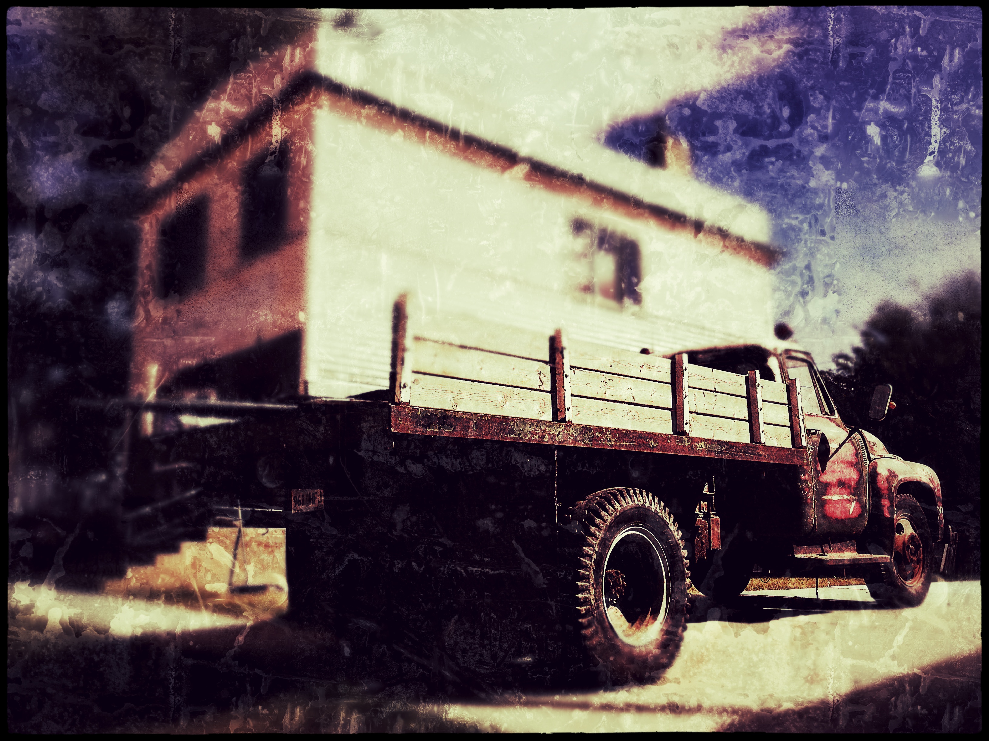
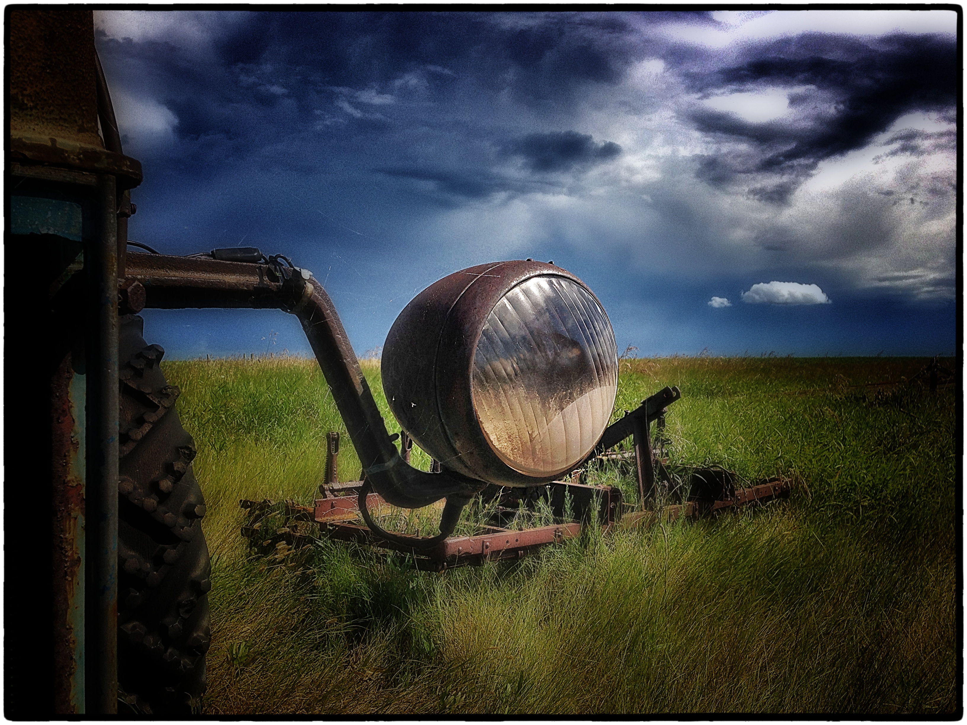
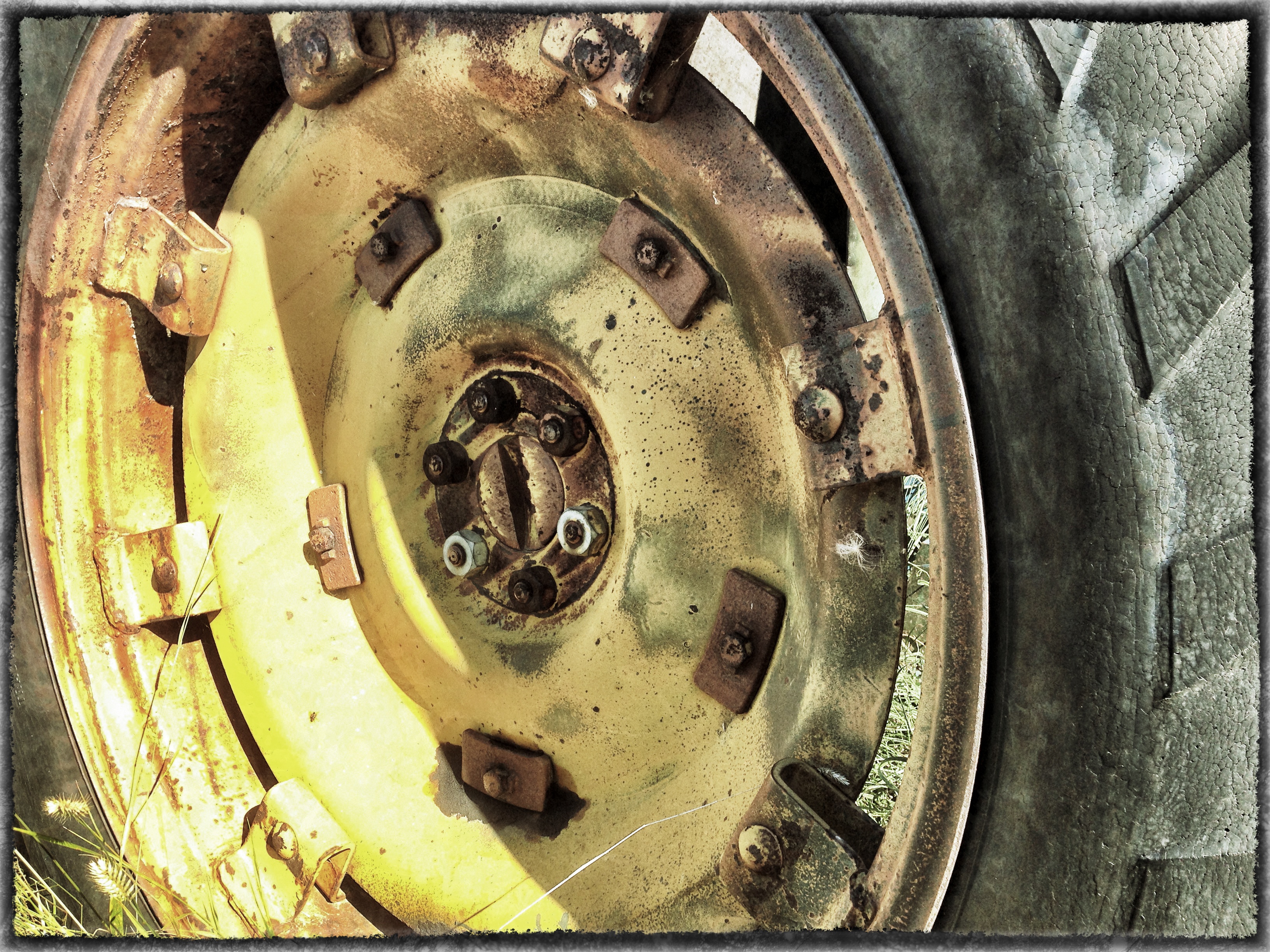
Old Truck...Still Working
Maple Bush No. 224-20111014-00521_Snapseed
Maple Bush No. 224-20111014-00515_Snapseed

Cliff Edge
2013-08-09 09.37.44_Snapseed
2013-08-04 14.54.07_Snapseed
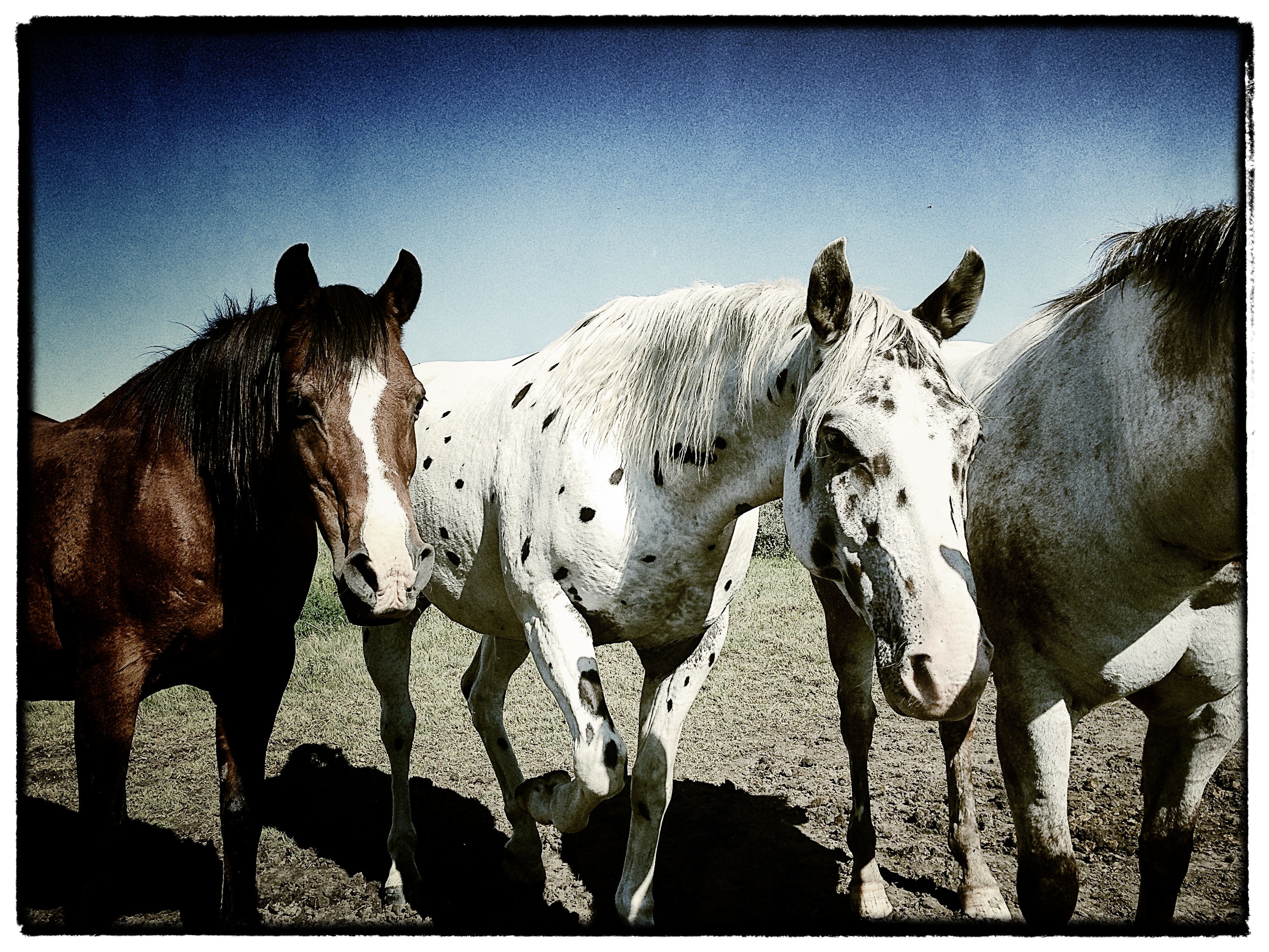
Three Amigos

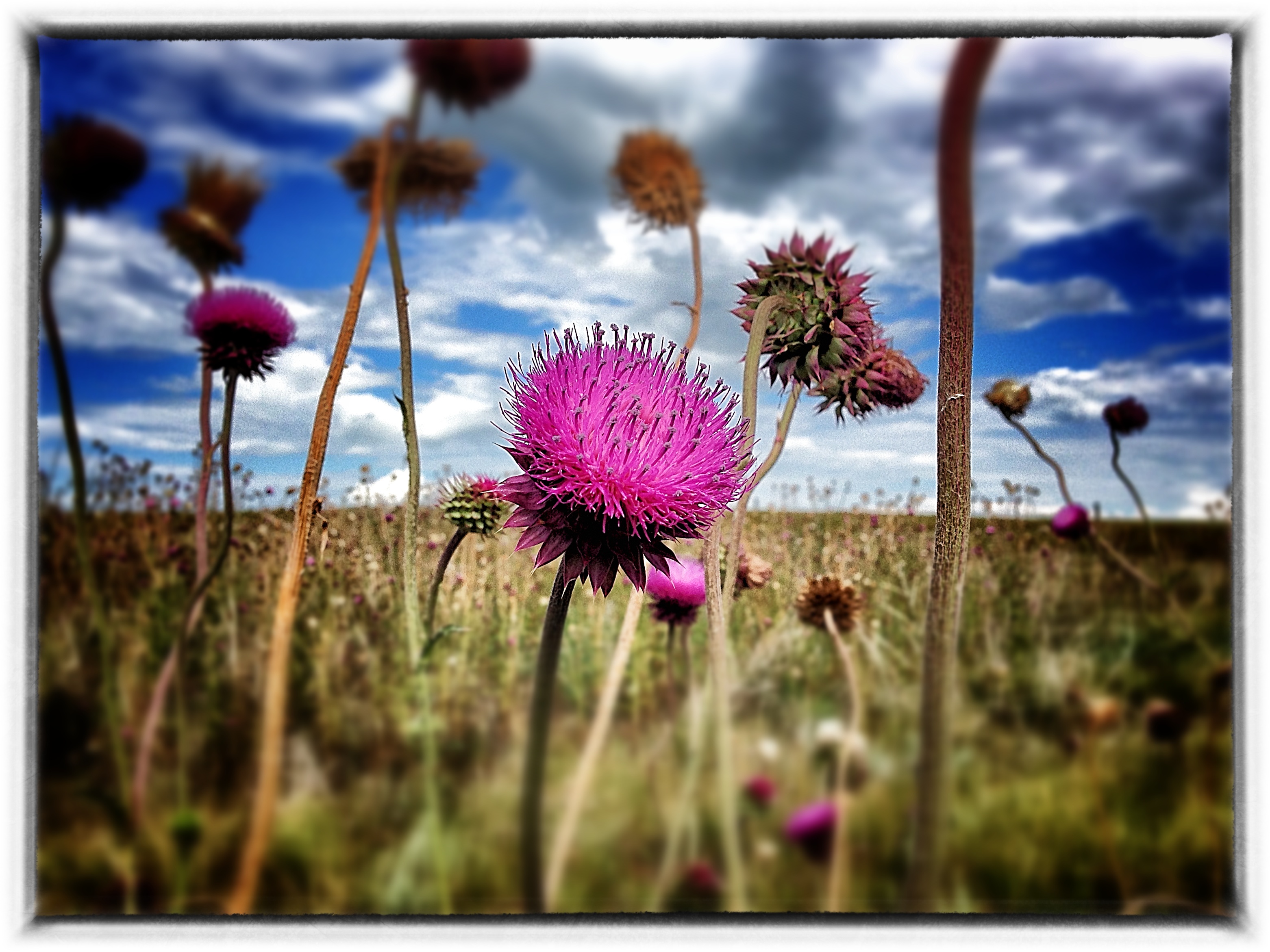
Inclement Skies

Laid to Rest 2

Grilled 2

Dark and Moody
Topographic Map of Loreburn, SK S0H, Canada
Find elevation by address:
Places near Loreburn, SK S0H, Canada:
Loreburn No. 254
Minto St, Elbow, SK S0H 1J0, Canada
Elbow
Glenside Post Office
Glenside
419 Railway Ave
Glenside Cemetery
Kenaston
4th St, Kenaston, SK S0G 2N0, Canada
Lincoln St, Hanley, SK S0G 2E0, Canada
Central Butte
Bladworth
32 6th St, Bladworth, SK S0G 0J0, Canada
Enfield No. 194
Thunder Creek
13 Summerfeldt Dr, Dundurn, SK S0K 1K0, Canada
Thode
S0k 1k0
Eyebrow
Assiniboia St, Eyebrow, SK S0H 1L0, Canada
Recent Searches:
- Elevation map of Central Hungary, Hungary
- Elevation map of Pest, Central Hungary, Hungary
- Elevation of Pilisszentkereszt, Pest, Central Hungary, Hungary
- Elevation of Dharamkot Tahsil, Punjab, India
- Elevation of Bhinder Khurd, Dharamkot Tahsil, Punjab, India
- Elevation of 2881, Chabot Drive, San Bruno, San Mateo County, California, 94066, USA
- Elevation of 10370, West 107th Circle, Westminster, Jefferson County, Colorado, 80021, USA
- Elevation of 611, Roman Road, Old Ford, Bow, London, England, E3 2RW, United Kingdom
- Elevation of 116, Beartown Road, Underhill, Chittenden County, Vermont, 05489, USA
- Elevation of Window Rock, Colfax County, New Mexico, 87714, USA
- Elevation of 4807, Rosecroft Street, Kempsville Gardens, Virginia Beach, Virginia, 23464, USA
- Elevation map of Matawinie, Quebec, Canada
- Elevation of Sainte-Émélie-de-l'Énergie, Matawinie, Quebec, Canada
- Elevation of Rue du Pont, Sainte-Émélie-de-l'Énergie, Matawinie, Quebec, J0K2K0, Canada
- Elevation of 8, Rue de Bécancour, Blainville, Thérèse-De Blainville, Quebec, J7B1N2, Canada
- Elevation of Wilmot Court North, 163, University Avenue West, Northdale, Waterloo, Region of Waterloo, Ontario, N2L6B6, Canada
- Elevation map of Panamá Province, Panama
- Elevation of Balboa, Panamá Province, Panama
- Elevation of San Miguel, Balboa, Panamá Province, Panama
- Elevation of Isla Gibraleón, San Miguel, Balboa, Panamá Province, Panama