Elevation of Longwancun, Jingtai County, Baiyin, Gansu, China
Location: China > Gansu > Baiyin > Jingtai County >
Longitude: 104.32232
Latitude: 36.895356
Elevation: 1356m / 4449feet
Barometric Pressure: 86KPa
Elevation Map:
Satellite Map:
Related Photos:
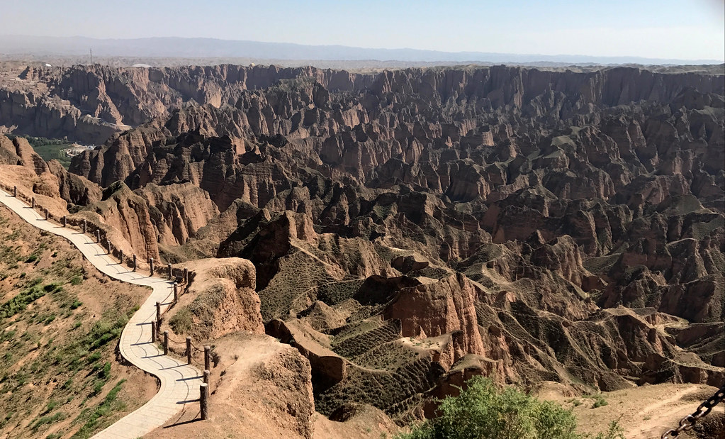
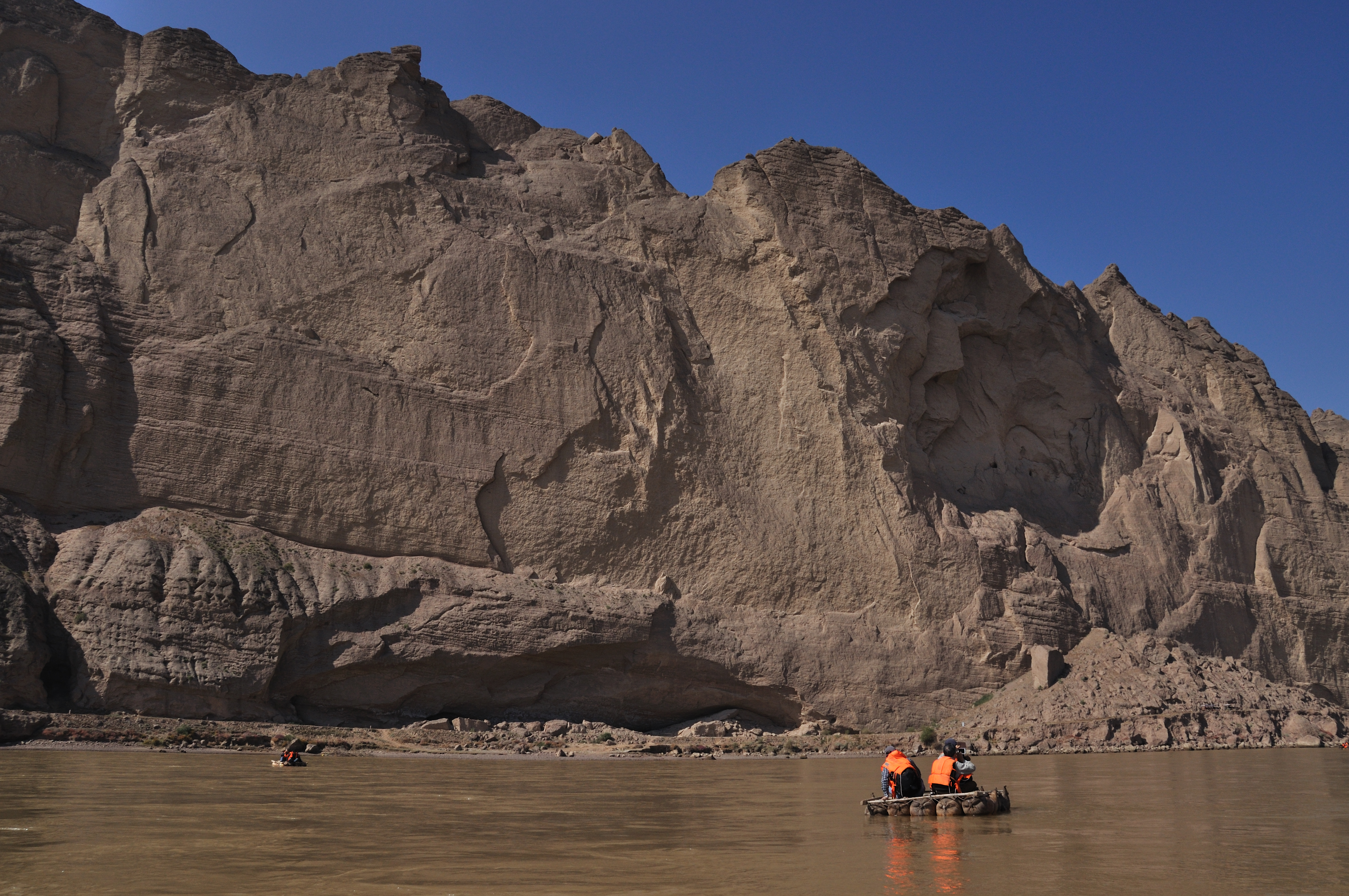
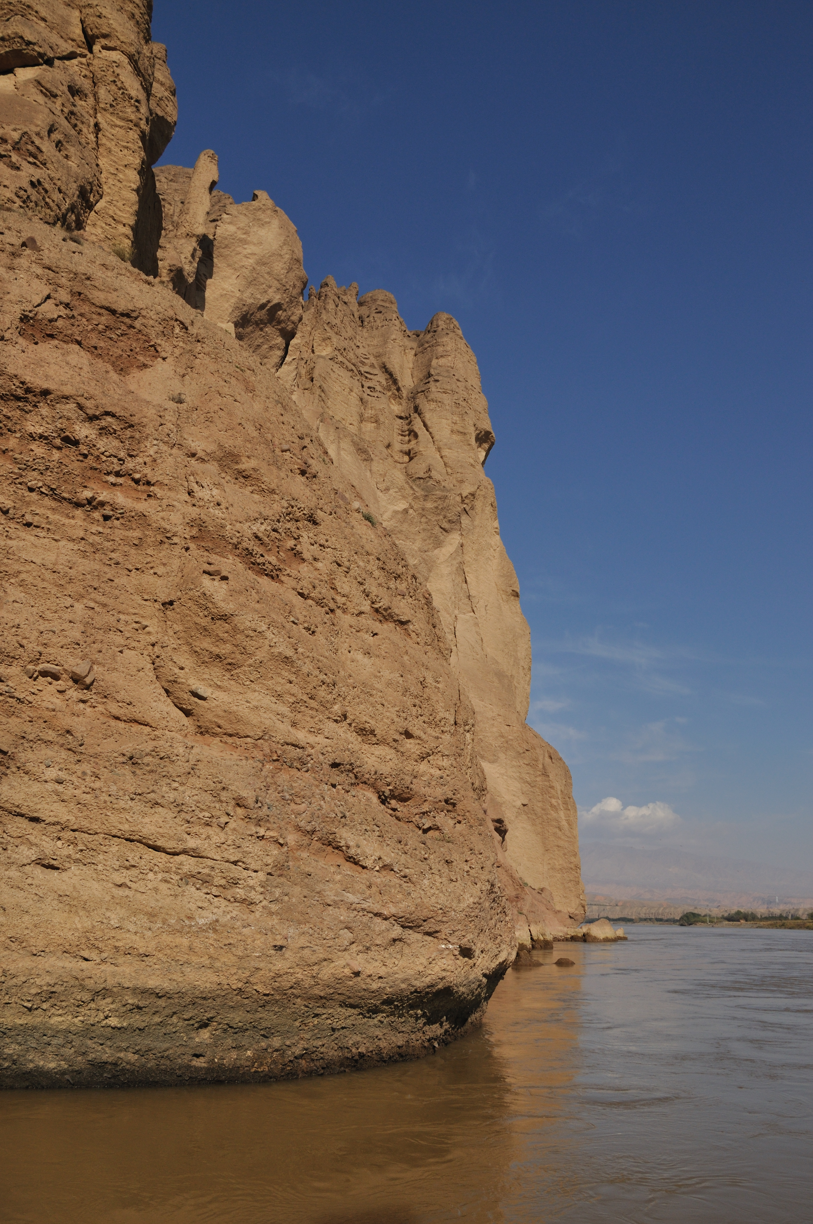
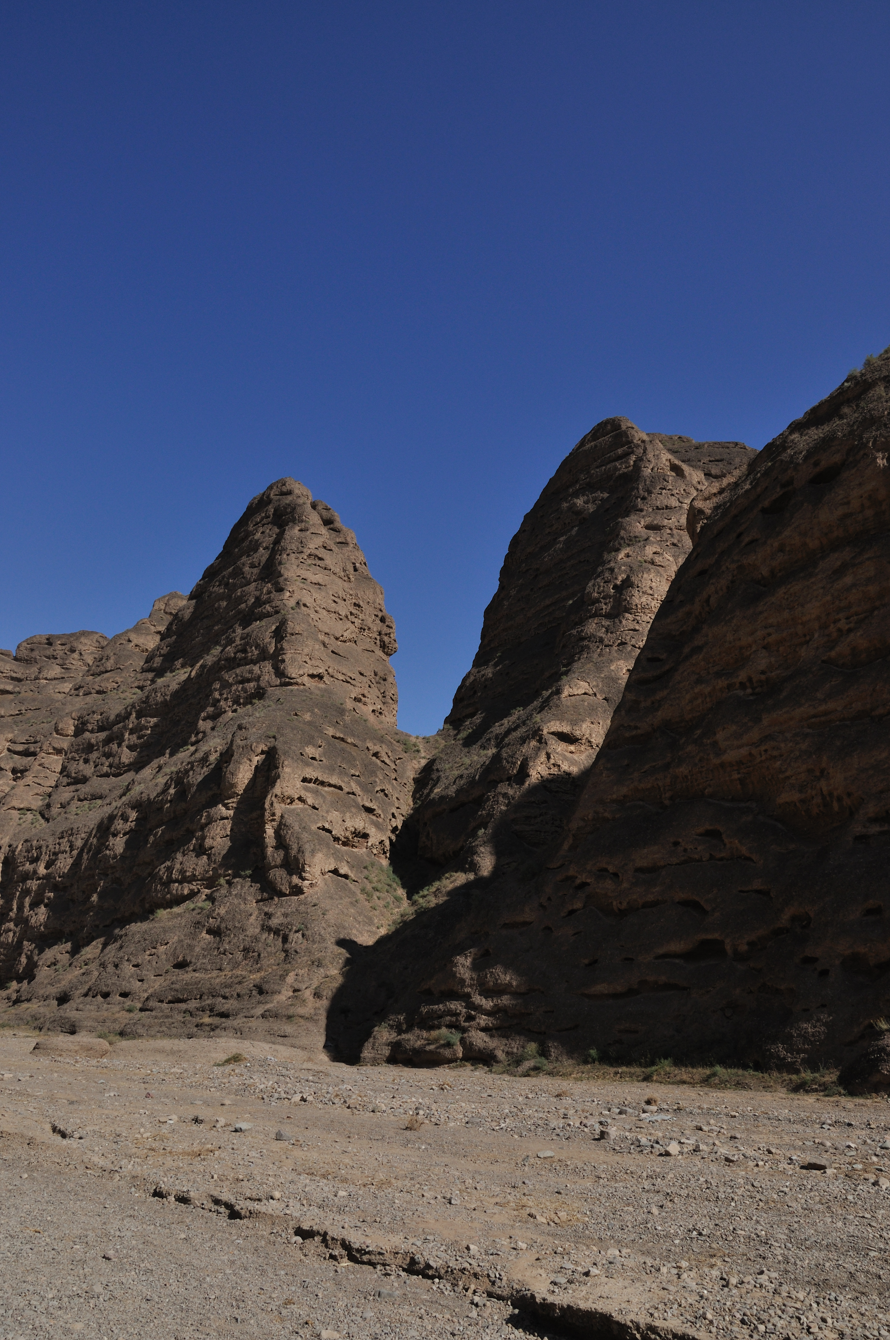
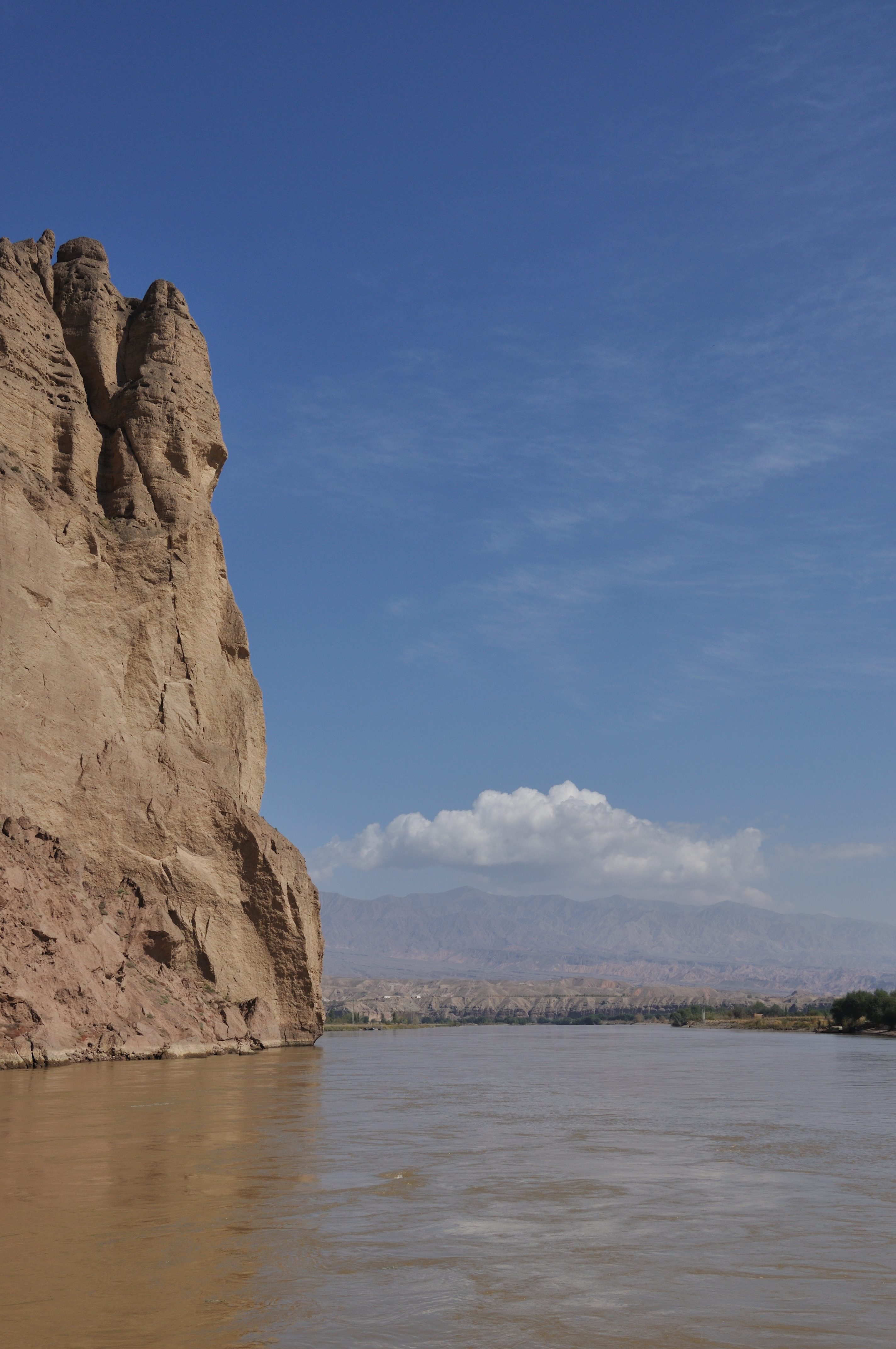
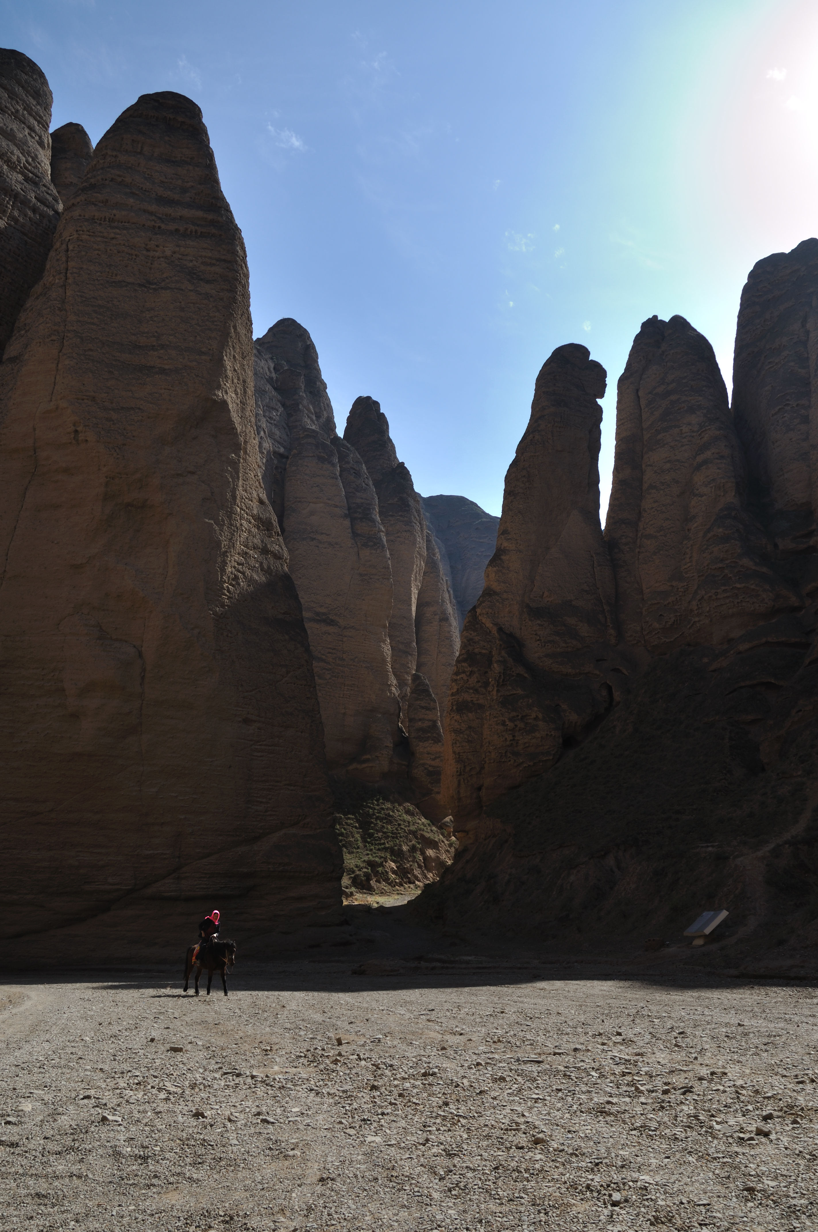
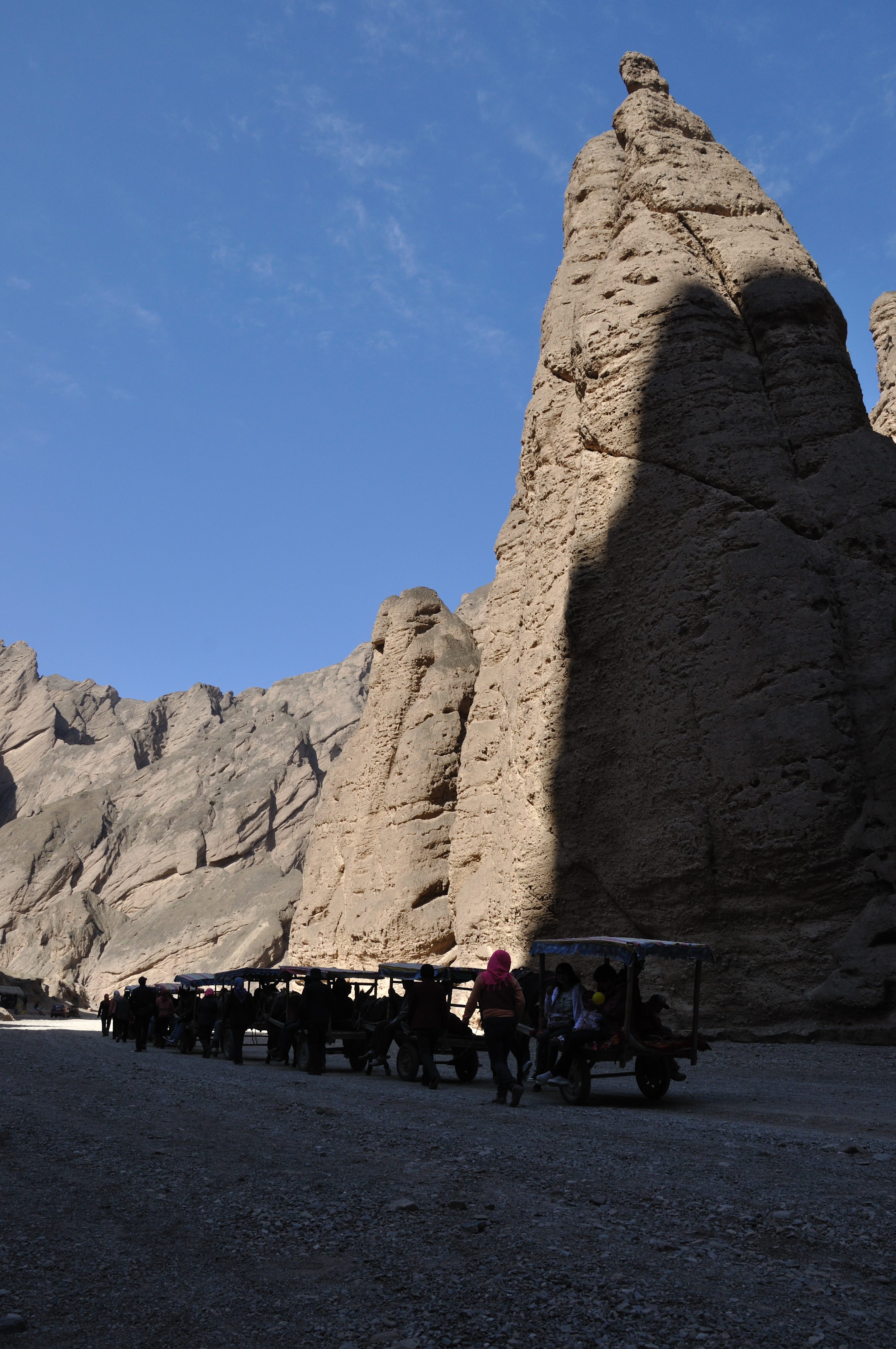
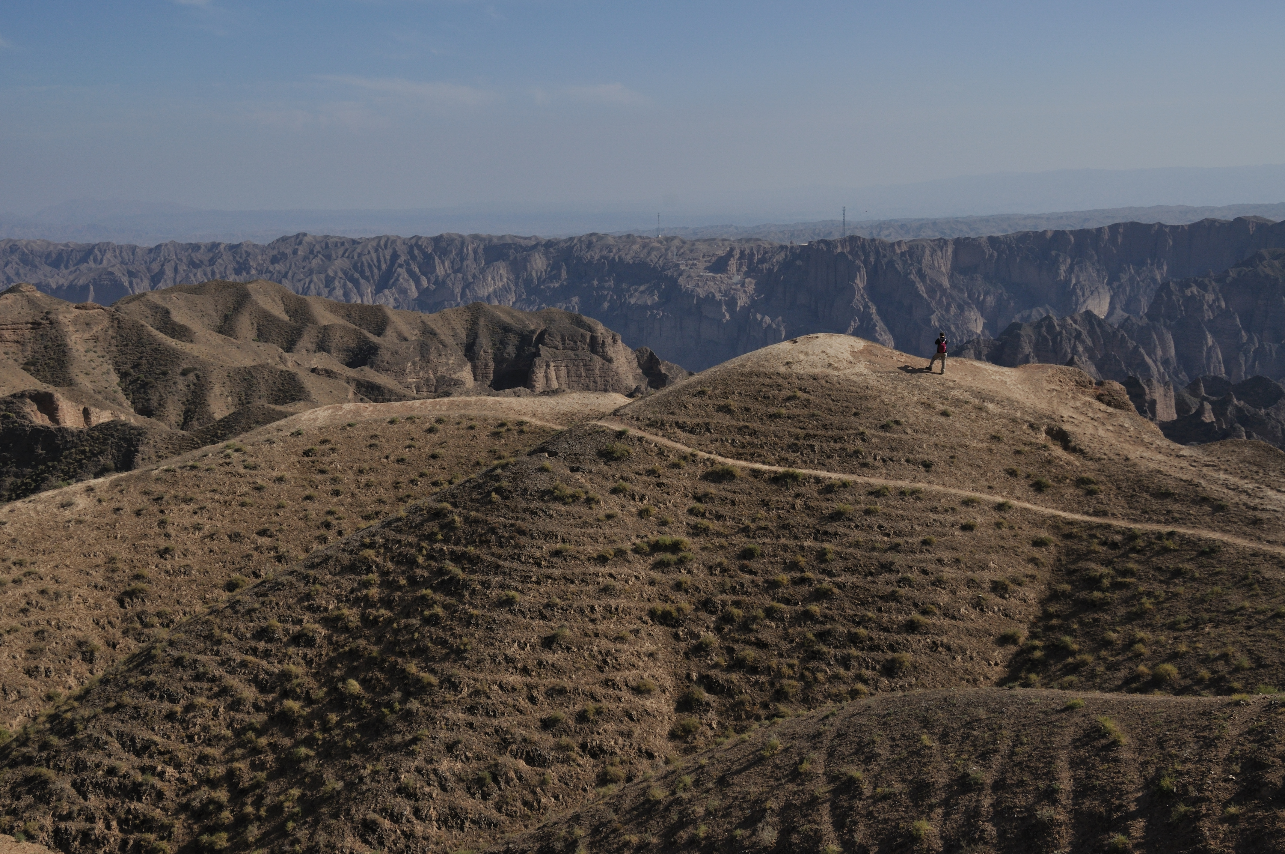
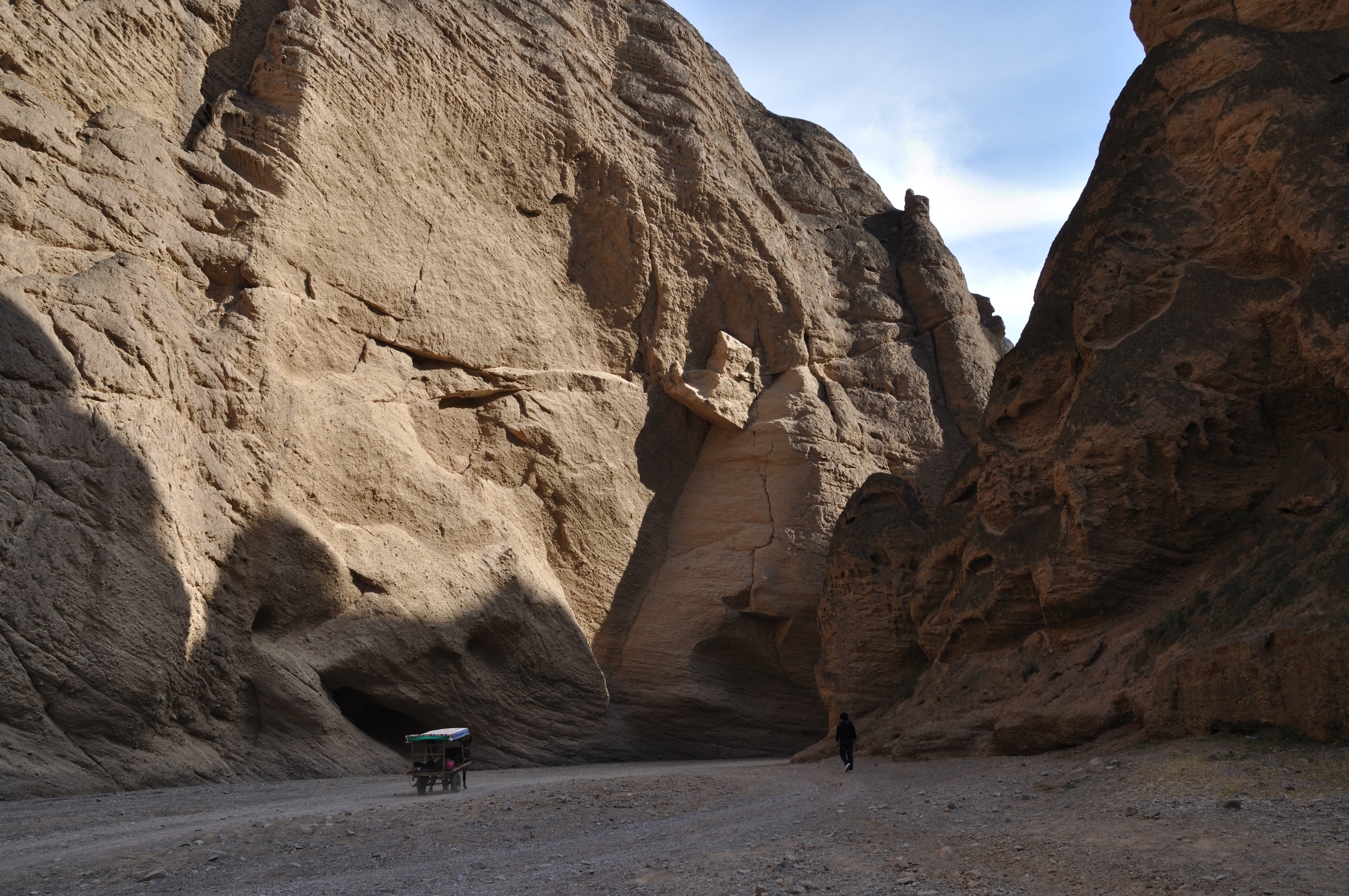
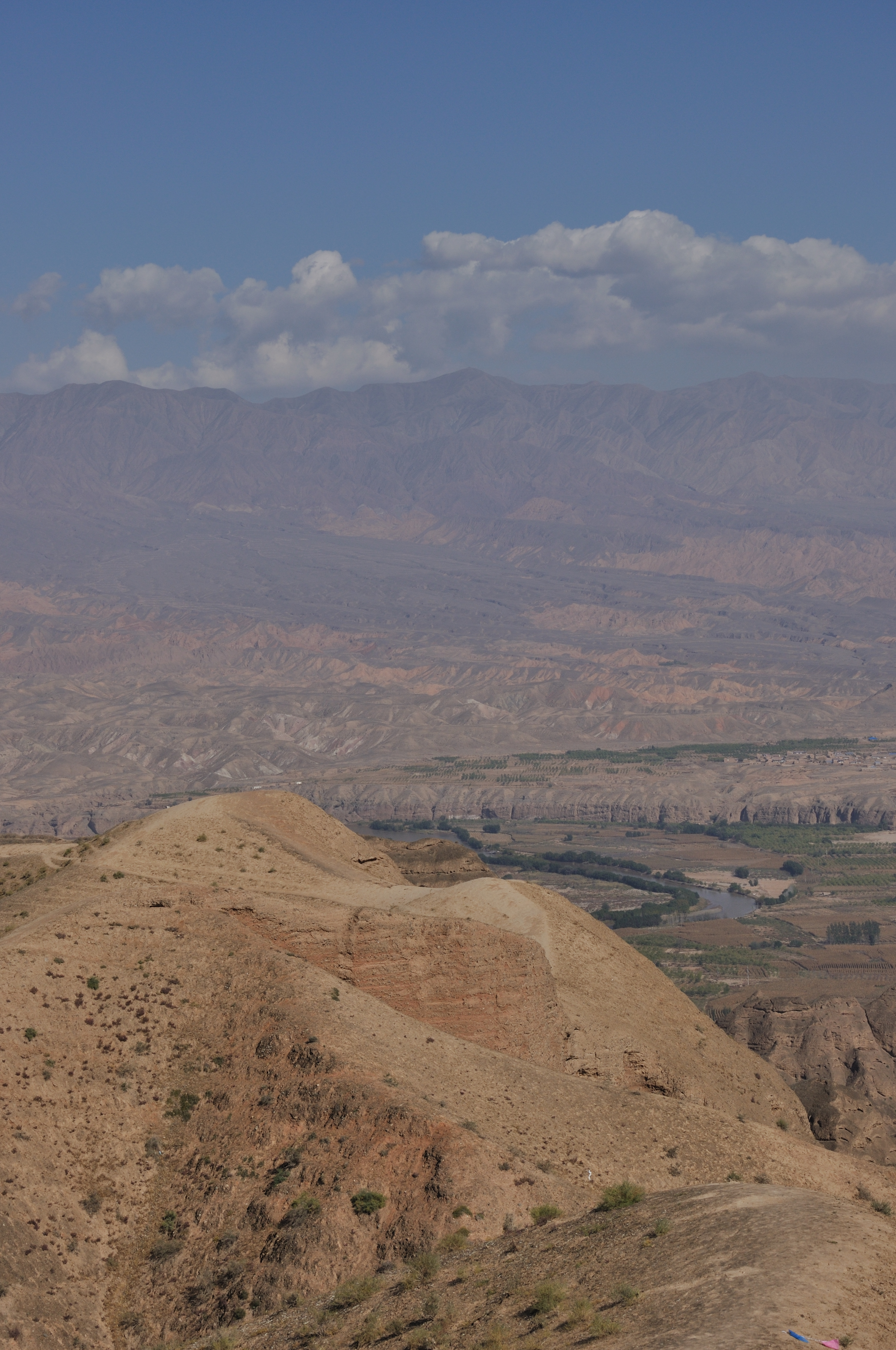
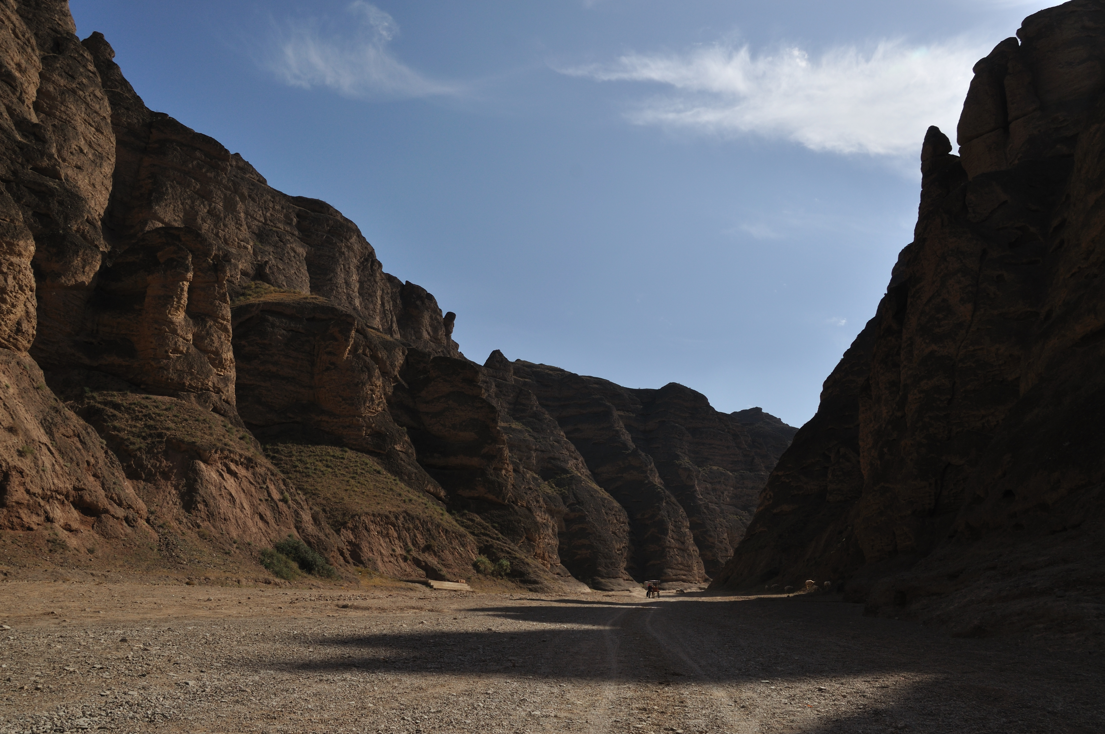
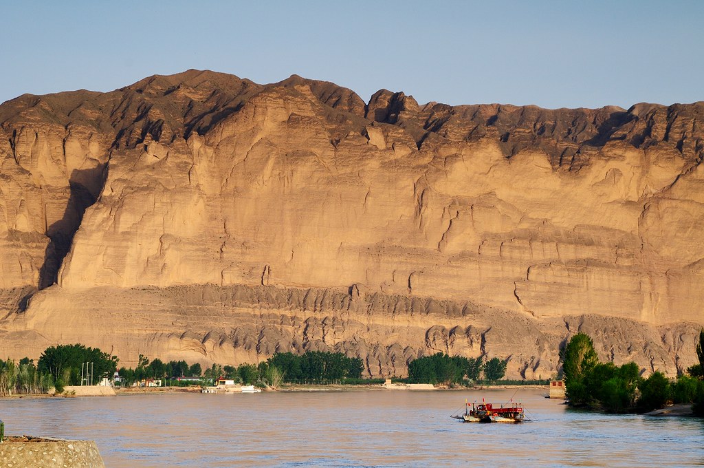
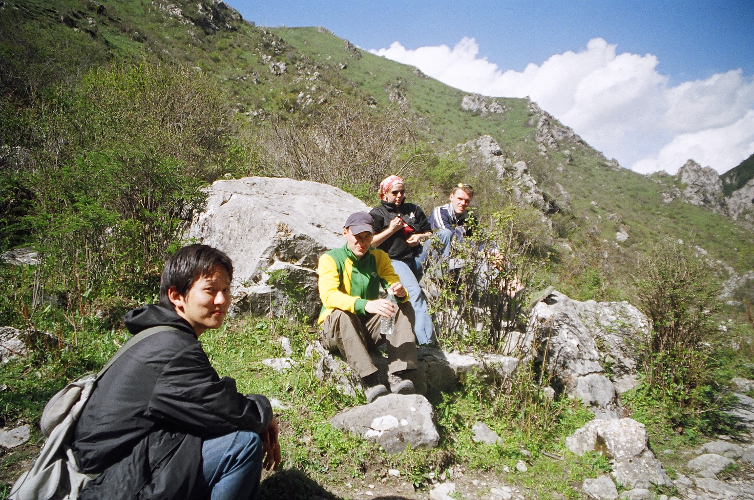
Yellow River Stone Forest (景泰黃河石林) - Jingtai, Gansu, China

山中

Wonderful Hiking Trails!

黄河石林-17
黄河石林-1

黄河石林-9
黄河石林-21
黄河石林-11
黄河石林-3
黄河石林-8
黄河石林-5
黄河石林-15

黄河石林-20

黄河石林-12
黄河石林-19

黄河石林-16
黄河石林-14
黄河石林-10
黄河绝壁
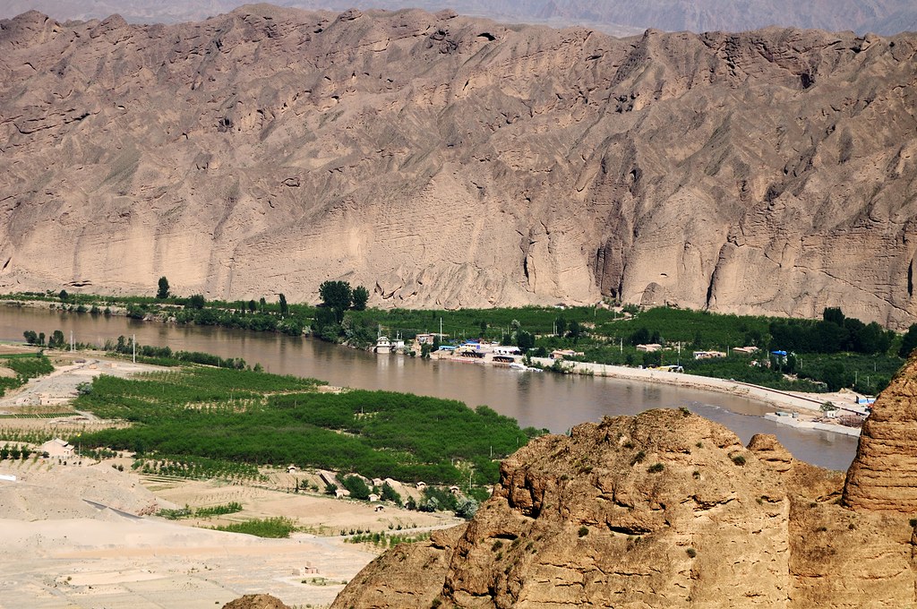
黄河龙湾村
the people you meet...
Topographic Map of Longwancun, Jingtai County, Baiyin, Gansu, China
Find elevation by address:

Places near Longwancun, Jingtai County, Baiyin, Gansu, China:
Recent Searches:
- Elevation of Corso Fratelli Cairoli, 35, Macerata MC, Italy
- Elevation of Tallevast Rd, Sarasota, FL, USA
- Elevation of 4th St E, Sonoma, CA, USA
- Elevation of Black Hollow Rd, Pennsdale, PA, USA
- Elevation of Oakland Ave, Williamsport, PA, USA
- Elevation of Pedrógão Grande, Portugal
- Elevation of Klee Dr, Martinsburg, WV, USA
- Elevation of Via Roma, Pieranica CR, Italy
- Elevation of Tavkvetili Mountain, Georgia
- Elevation of Hartfords Bluff Cir, Mt Pleasant, SC, USA