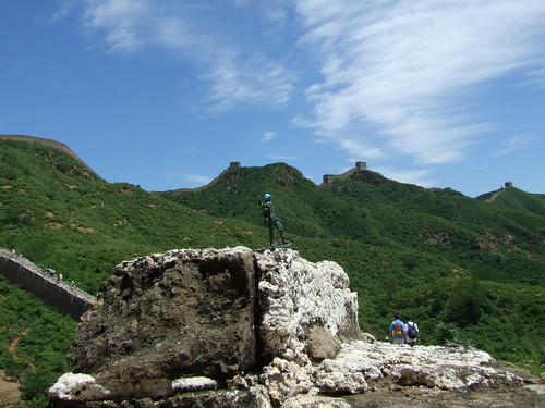
Elevation map of Jingtai County, Baiyin, Gansu, China
Location: China > Gansu > Baiyin >
Longitude: 104.063091
Latitude: 37.183804
Elevation: 1627m / 5338feet
Barometric Pressure: 83KPa
Related Photos:
Topographic Map of Jingtai County, Baiyin, Gansu, China
Find elevation by address:

Places in Jingtai County, Baiyin, Gansu, China:
Places near Jingtai County, Baiyin, Gansu, China:
Recent Searches:
- Elevation of Corso Fratelli Cairoli, 35, Macerata MC, Italy
- Elevation of Tallevast Rd, Sarasota, FL, USA
- Elevation of 4th St E, Sonoma, CA, USA
- Elevation of Black Hollow Rd, Pennsdale, PA, USA
- Elevation of Oakland Ave, Williamsport, PA, USA
- Elevation of Pedrógão Grande, Portugal
- Elevation of Klee Dr, Martinsburg, WV, USA
- Elevation of Via Roma, Pieranica CR, Italy
- Elevation of Tavkvetili Mountain, Georgia
- Elevation of Hartfords Bluff Cir, Mt Pleasant, SC, USA


