Elevation of Longridge Rd, Clayton, DE, USA

Location: United States > Delaware > Kent County > Clayton >

Longitude: -75.733189

Latitude: 39.2900459

Elevation: 21m / 69feet

Barometric Pressure: 101KPa

Elevation Map:

elevation map of Longridge Rd, Clayton, DE, USA

Satellite Map:

Satellite map of Longridge Rd, Clayton, DE, USA

Related Photos:

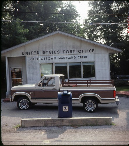
kodachrome v500
Scan with Epson V500 at 6400 PPI using Color Restore
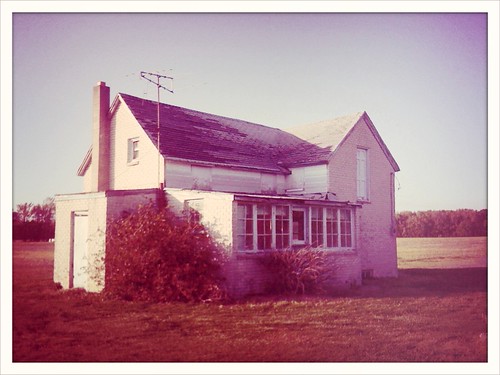
cameraphone old house abandoned vintage farm crossprocess empty delaware iphone iluviphone iphoneography
Once upon a long ago..
cameraphone cg post farm equipment process processed postprocess iphone postprocessing photofx iluviphone iphoneography tiffenphotofx
Passed Past
cameraphone post farm process processed postprocess iphone postprocessing photofx iluviphone iphoneography tiffenphotofx
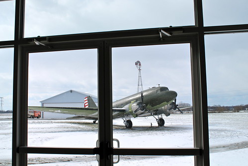
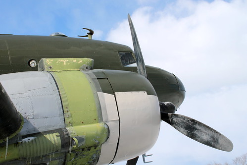
Blades of Antiquity
museum plane airplane airport air maryland easternshore aerodrome massey
Baby It's Cold Outside
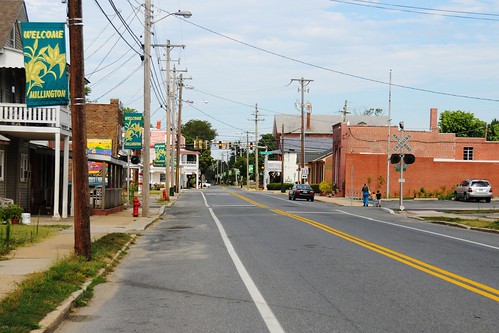
road street city st river town md maryland rd sassafrass millington
Viewing the intersection of Cypress Street and Sassafrass Street
museum plane airplane airport air maryland easternshore aerodrome massey
Astrodome Refit
road city railroad two tree sign river town md maryland rail restauant millington
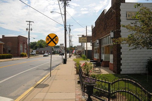
Two Tree Restaurant and view down Cypress Street
lighthouse de smyrna lanchester
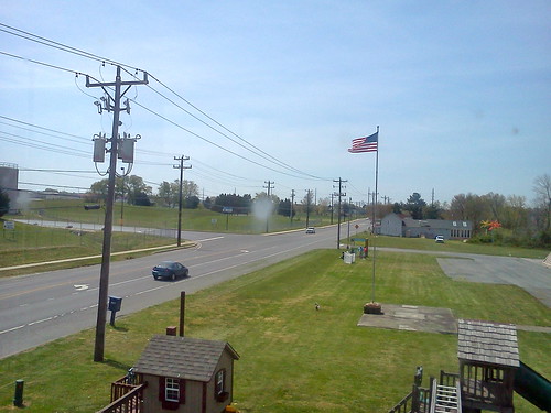
View from Lighthouse
insect bee hoverfly wings details strips gold yellow red green brown black orange texture wingveins veins gossamer sunny summer flowers tropicalmilkweed milkweed cellphone phonephoto iphone iphone5s externallens olloclip macro closeup dof bokeh phoneography iphoneography ipad ipaddarkroom apps snapseed nature naturelovers artofnature earthnature abstractnature galena maryland marylandnature iphonenature patterns 365
Bees Wings - Color
boy baby home de son carter delaware dover greghughes
View through the playhouse
delaware smyrna kentcounty onceuponamattress smyrnahighschool
Once Upon A Mattress at Smyrna High School
Tree line
de middletown pricememorialpark
Charles E. Price Memorial Park
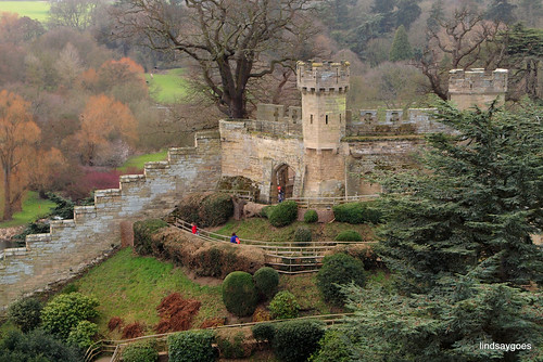
england castle warwick
Warwick Castle
square squareformat hudson iphoneography instagramapp uploaded:by=instagram foursquare:venue=4dff91031495f7021936d400
Love this area.
de middletown pricememorialpark
Charles E. Price Memorial Park
de middletown pricememorialpark
Charles E. Price Memorial Park
rural countryside farm delaware
Clayton, DE
landscape
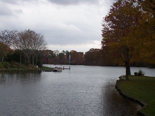
Fall in Smyrna, DE
camera sky grass clouds fence iphone
Sky.
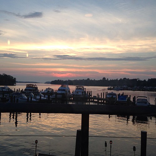
square squareformat iphoneography instagramapp uploaded:by=instagram foursquare:venue=4bef43edc80dc928aec027e3
sunset on the Chesapeake (Maryland pt 2)
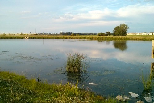
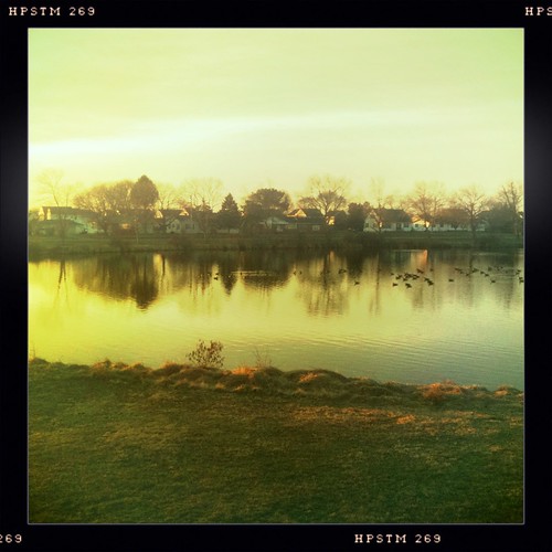
morning houses tree geese pond ripple ducks iphone iphonography hipstamatic
Tranquil Morning
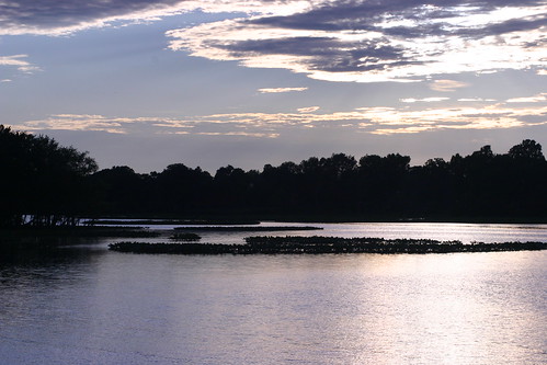
lake water delaware garrison symrna greghughes
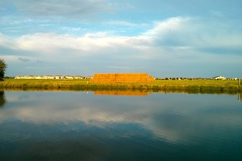
Silver Clouds
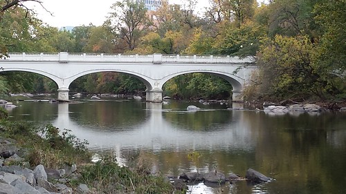
flickrandroidapp:filter=none lookimindelaware
Bridge over peaceful waters
geocaching julia meadow maryland galena
Geocaching in Maryland
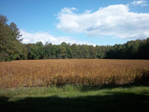
soybean field
morning trees yellow sunrise pond iphone iphonography hipstamatic salvador84lens
Salvador 84 Sunrise!
trees forest path delaware blackbirdstateforest blackbirdforest dpsconverge
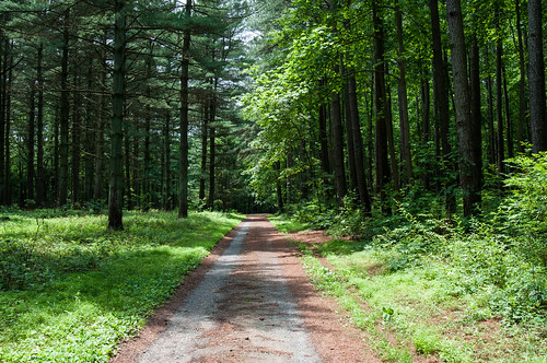
The Start to a Beautiful Walk
unitedstates conservation science environment restoration geography mammals partnership whitetaileddeer odocoileusvirginianus geocity geo:country=unitedstates exif:isospeed=800 camera:make=nikoncorporation camera:model=nikond90 exif:make=nikoncorporation geostate exif:model=nikond90 exif:lens=7003000mmf4556 chesapeakebayprogram exif:focallength=300mm exif:aperture=ƒ56
White-tailed deer in field, Merkle Wildlife Sanctuary
sassafrasriver georgetownmaryland thekittyknighthouse
almost sunset
winter snow ice water de frozen pond delaware greghughes
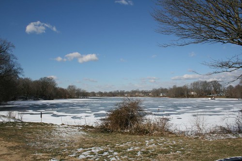
Garrison lake with ice
park blue sky nature de big oak trail observatory telescope delaware symrna greghughes
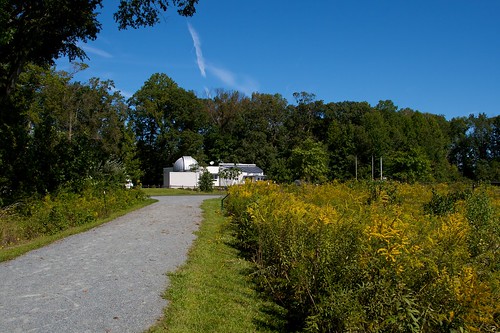
Nature Center / Observatory