Elevation of Longhe, Maharashtra, India
Location: India > Maharashtra > Kolhapur >
Longitude: 74.01973
Latitude: 16.6927327
Elevation: 550m / 1804feet
Barometric Pressure: 95KPa
Elevation Map:
Satellite Map:
Related Photos:

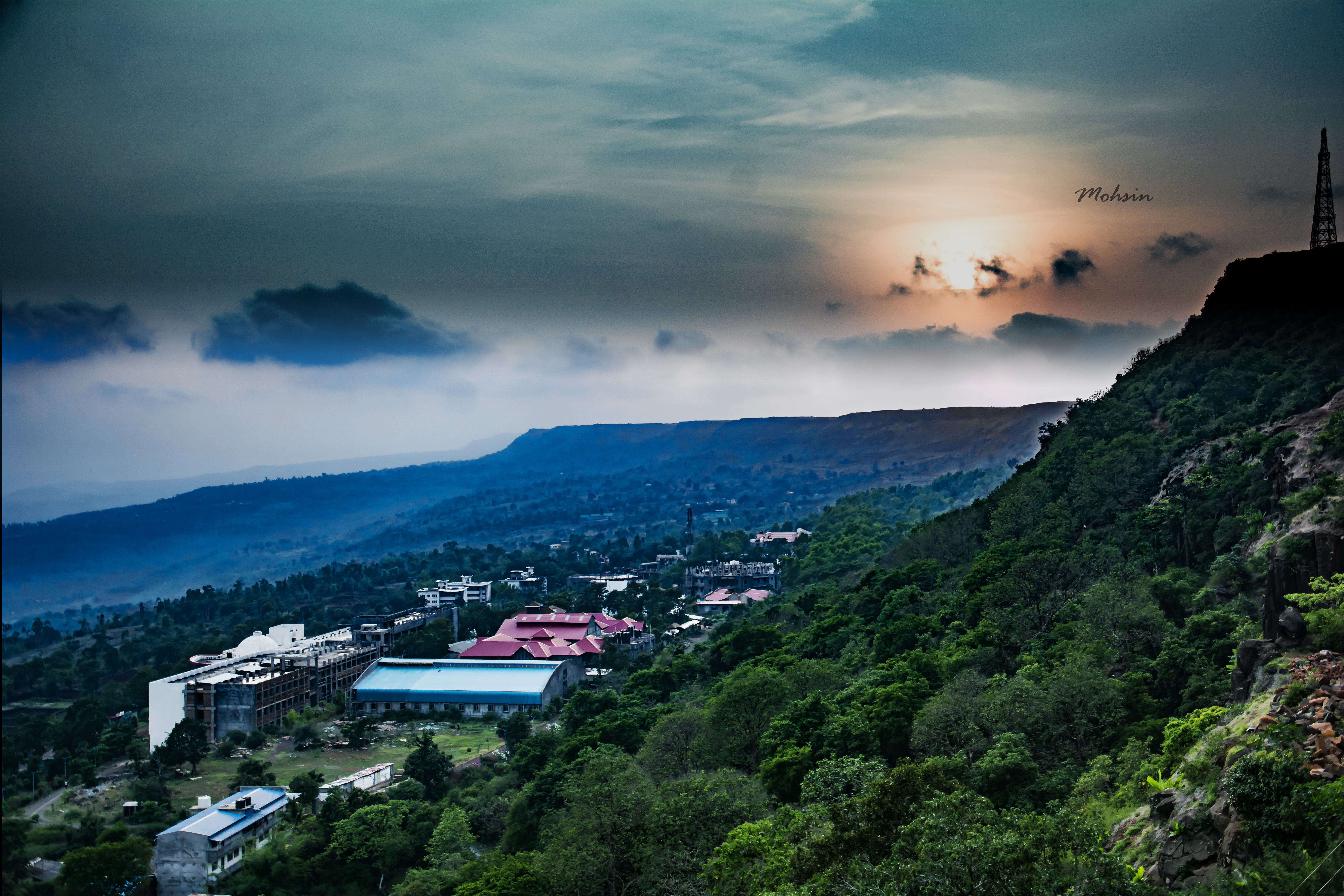
Lush and Green

Jai Shivaji Jai Bhavani #chhatrapati #Shivaji #kolhapur #kolhapurdiaries #travel
Sunset Point
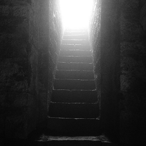
Who knows the real #history?
Topographic Map of Longhe, Maharashtra, India
Find elevation by address:

Places near Longhe, Maharashtra, India:
Mutakeshwar
Kirave
Salwan
Tisangi
Panutre
Sakhari
Nivade
Vidya Mandir Pachakatewadi
Pasarde
Margewadi
Aardewadi
Mandur
Harpavade
Khatangale
Vesarde
Durgulwadi
Sangrul
Bololi
Amashi
Asandoli
Recent Searches:
- Elevation of Corso Fratelli Cairoli, 35, Macerata MC, Italy
- Elevation of Tallevast Rd, Sarasota, FL, USA
- Elevation of 4th St E, Sonoma, CA, USA
- Elevation of Black Hollow Rd, Pennsdale, PA, USA
- Elevation of Oakland Ave, Williamsport, PA, USA
- Elevation of Pedrógão Grande, Portugal
- Elevation of Klee Dr, Martinsburg, WV, USA
- Elevation of Via Roma, Pieranica CR, Italy
- Elevation of Tavkvetili Mountain, Georgia
- Elevation of Hartfords Bluff Cir, Mt Pleasant, SC, USA