Elevation of Long Road, Long Rd, Washington, USA
Location: United States > Washington > Klickitat County >
Longitude: -121.13119
Latitude: 45.8518697
Elevation: 551m / 1808feet
Barometric Pressure: 95KPa
Elevation Map:
Satellite Map:
Related Photos:
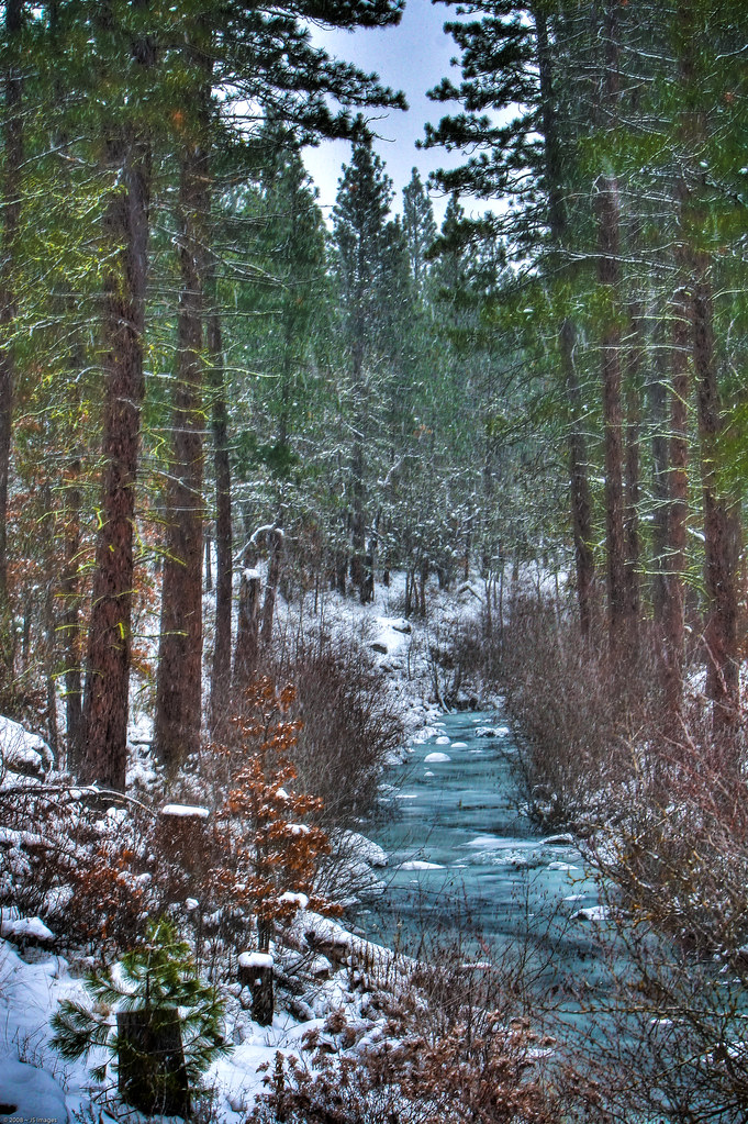
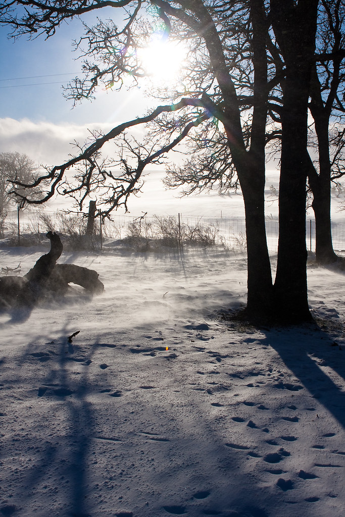
Winter Stream
Left & Right
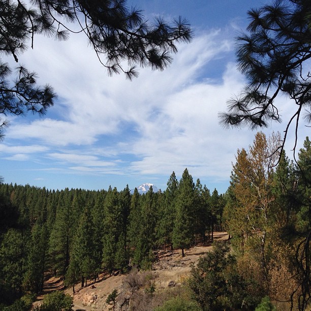
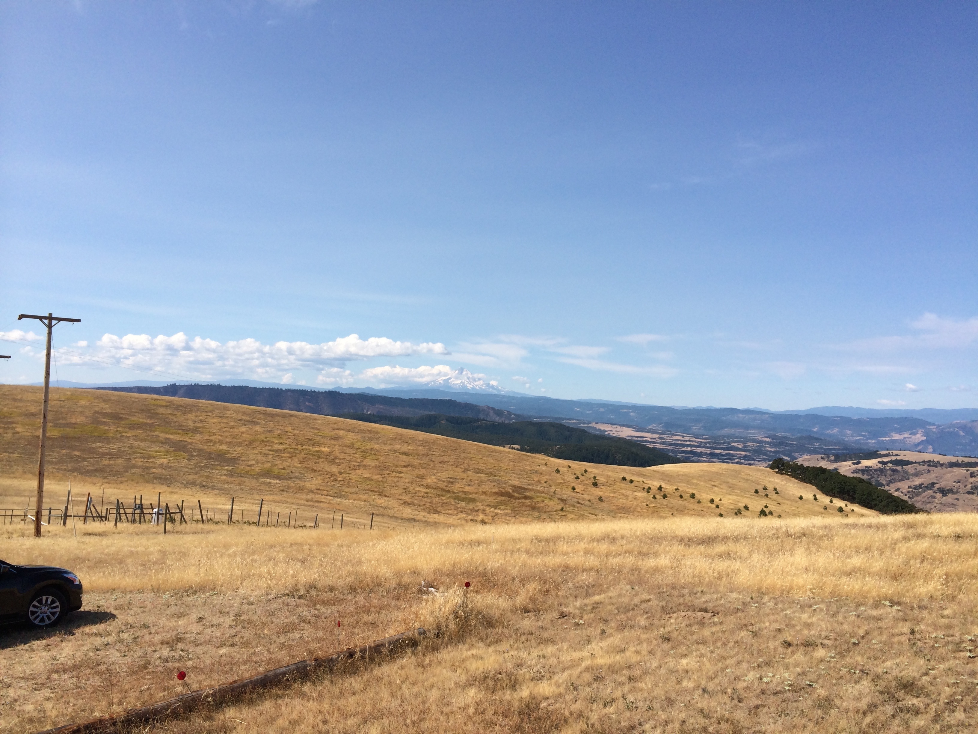
My view today... I love the mountains.
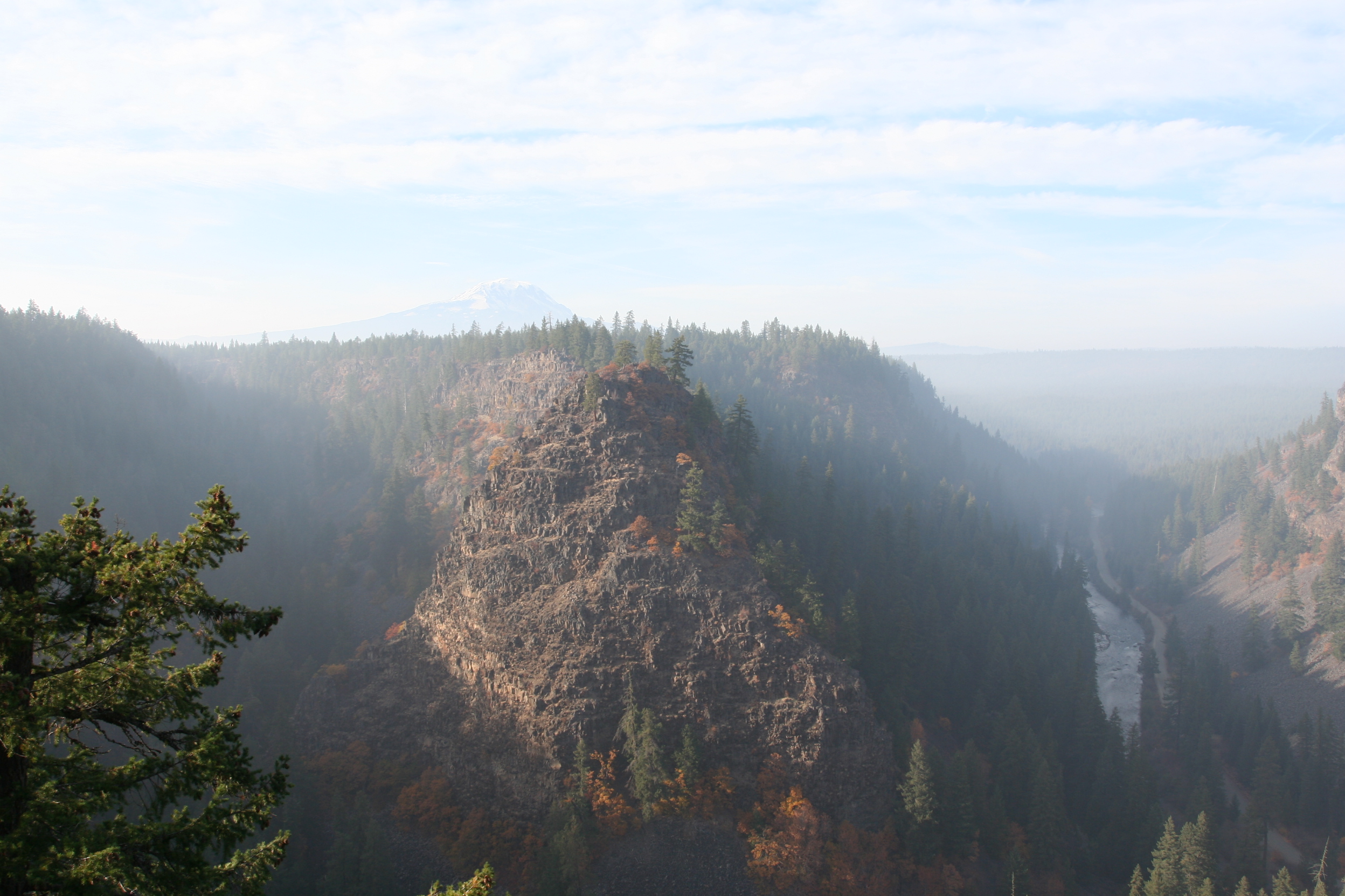
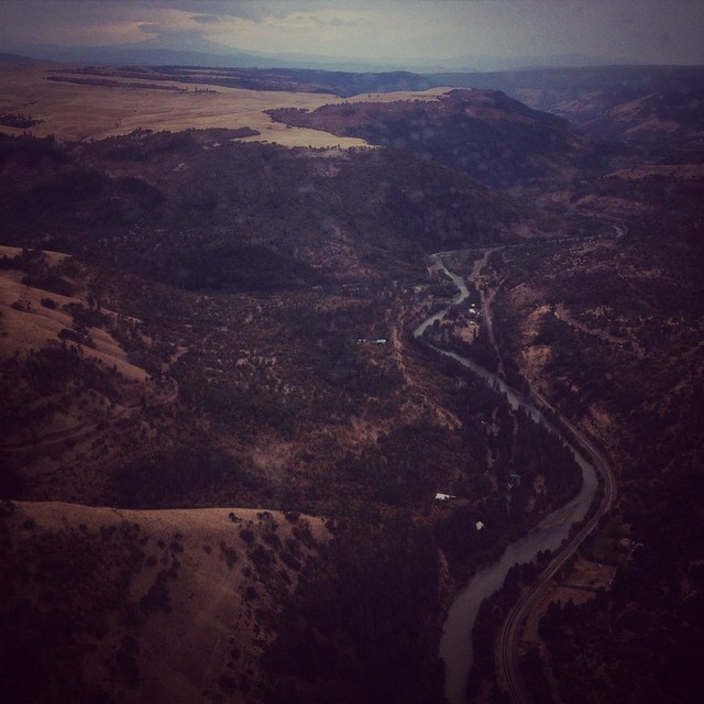
A view of the Klickitat Gorge with Mt. Adams in the background
View of Mt Hood from the house near Lyle, WA
_MG_0092-3
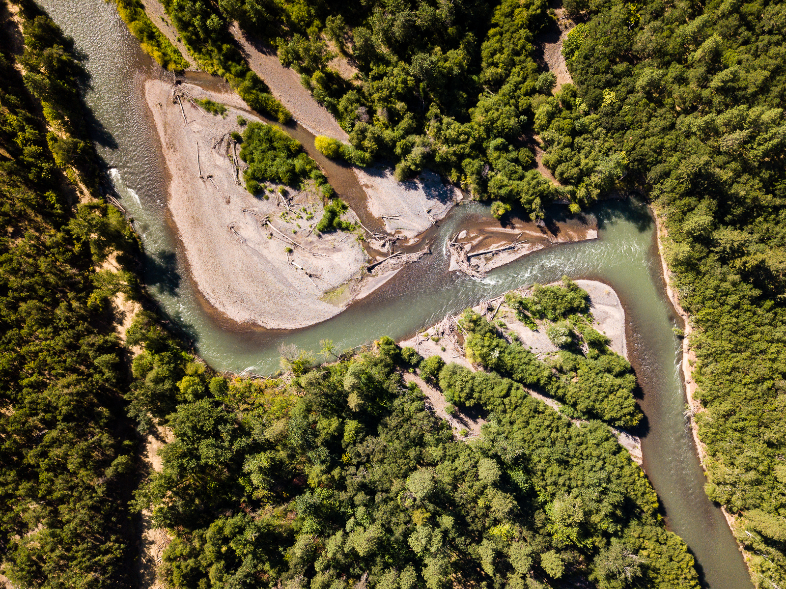
The Klickitat River before it reaches the Columbia adding water pouring into the Pacific. #klickitatriver #pnwfromthesky #klickitatriver

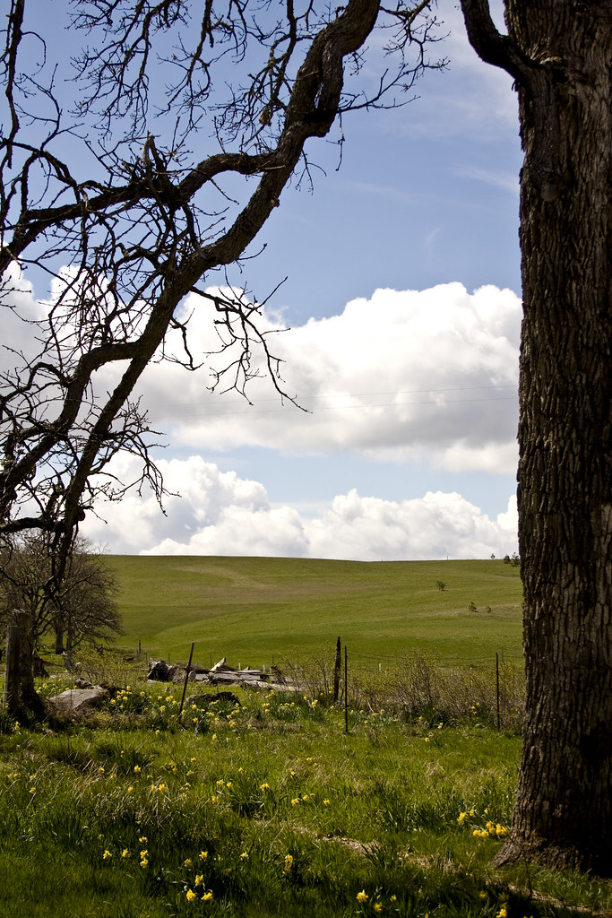
the front yard
Central Southern Washington
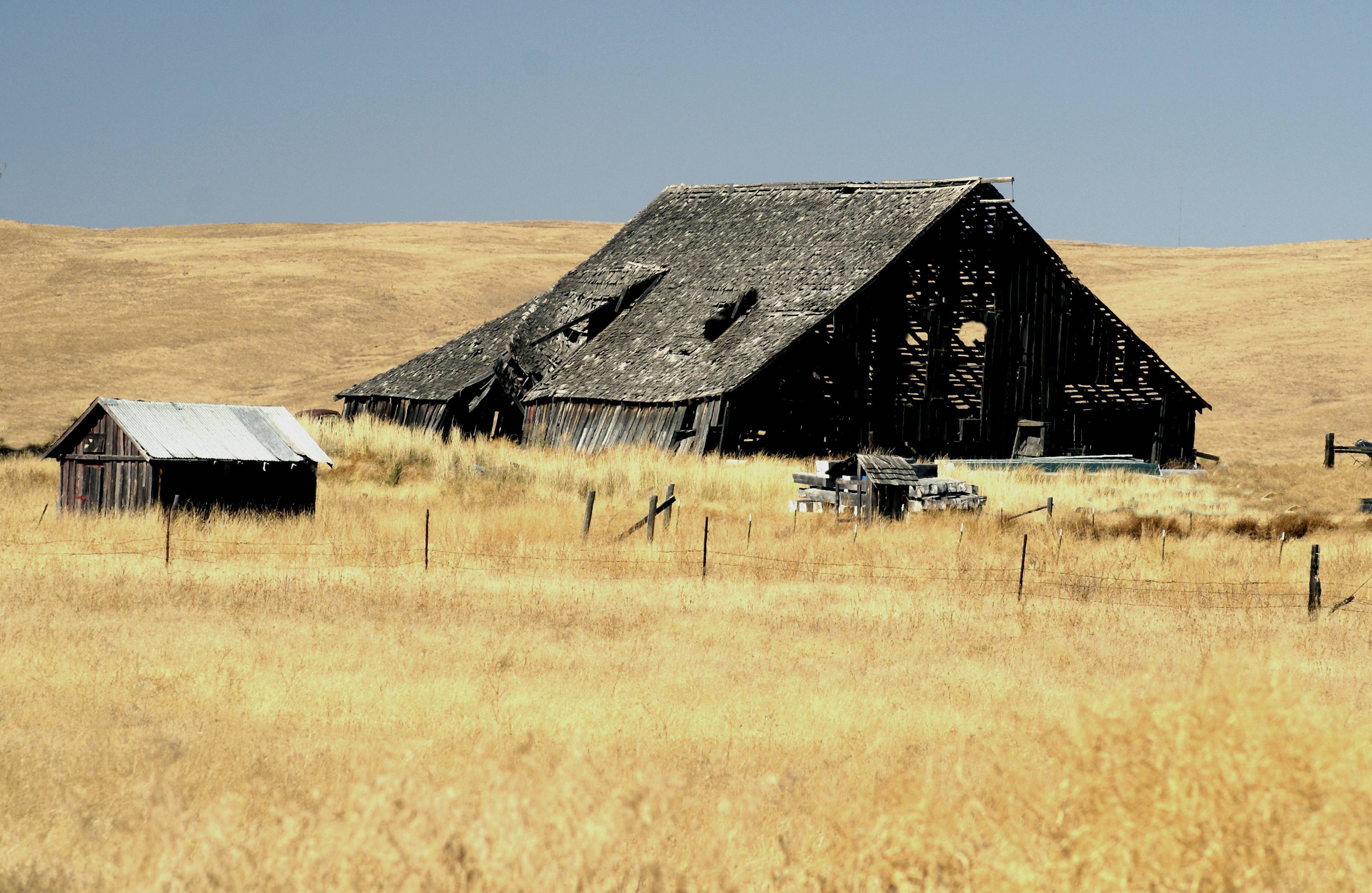
Age Weary Barn

Mt. Adams and Mt. Rainier behind High Prairie
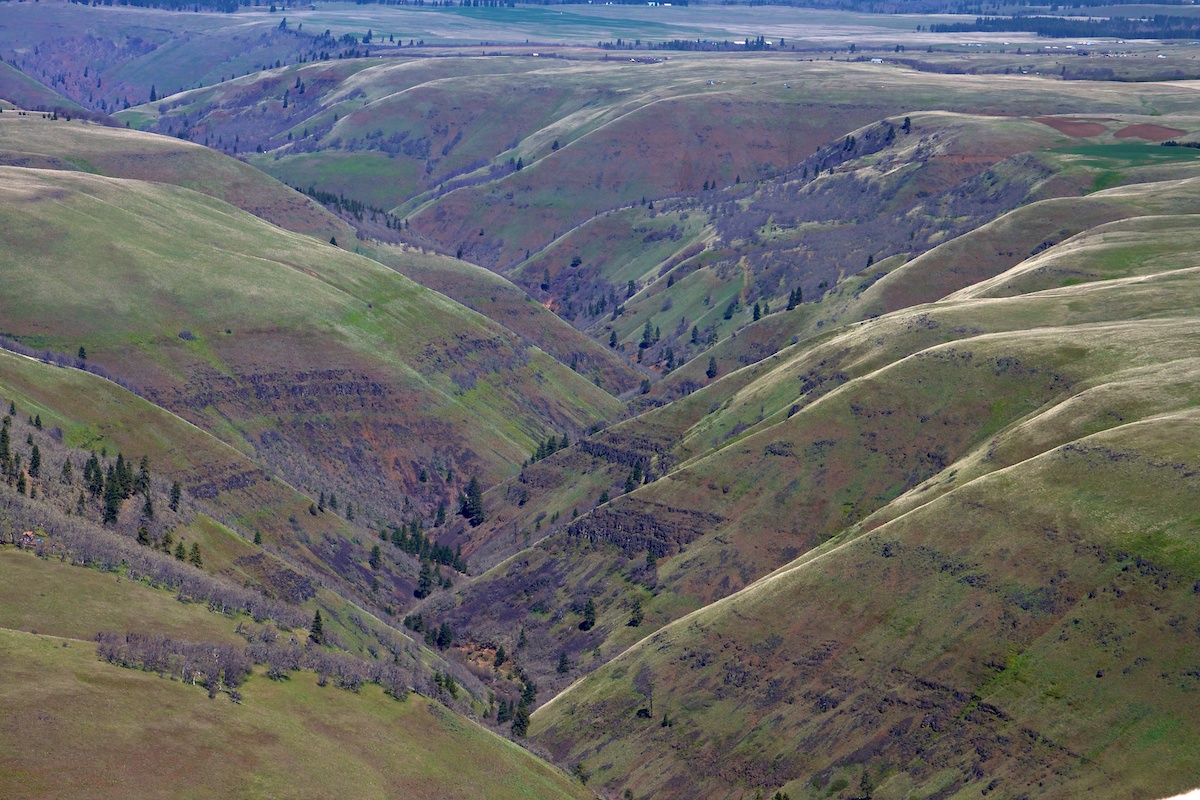
Swale Canyon
Topographic Map of Long Road, Long Rd, Washington, USA
Find elevation by address:

Places near Long Road, Long Rd, Washington, USA:
1402 Wa-142
63 Home Acres Ranch Rd
213 2nd St
Klickitat
Swale Canyon Trailhead
Klickitat Trail
Appleton
1251 Canyon Rd
Klickitat County
44 Meadows Loop
604 Canyon Rd
Lyle
Mosier-The Dalles Hwy, The Dalles, OR, USA
101 5th St
Snowden
Rowena
E Main St, Glenwood, WA, USA
Mayer State Park
Glenwood
4200 Columbia Rd
Recent Searches:
- Elevation of Corso Fratelli Cairoli, 35, Macerata MC, Italy
- Elevation of Tallevast Rd, Sarasota, FL, USA
- Elevation of 4th St E, Sonoma, CA, USA
- Elevation of Black Hollow Rd, Pennsdale, PA, USA
- Elevation of Oakland Ave, Williamsport, PA, USA
- Elevation of Pedrógão Grande, Portugal
- Elevation of Klee Dr, Martinsburg, WV, USA
- Elevation of Via Roma, Pieranica CR, Italy
- Elevation of Tavkvetili Mountain, Georgia
- Elevation of Hartfords Bluff Cir, Mt Pleasant, SC, USA