Elevation of 44 Meadows Loop, Lyle, WA, USA
Location: United States > Washington > Klickitat County > Lyle >
Longitude: -121.28179
Latitude: 45.7648138
Elevation: 539m / 1768feet
Barometric Pressure: 95KPa
Elevation Map:
Satellite Map:
Related Photos:

waitinging for the warmth of Sun
Rowena - After Hours

Afloat at the edge
Scenic View
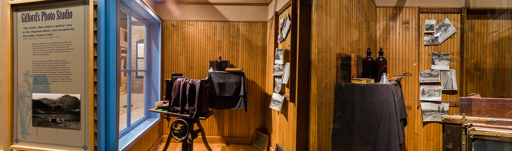
Triptych of Gifford's Photo Studio

Grass Widow, Study #2010-02-07
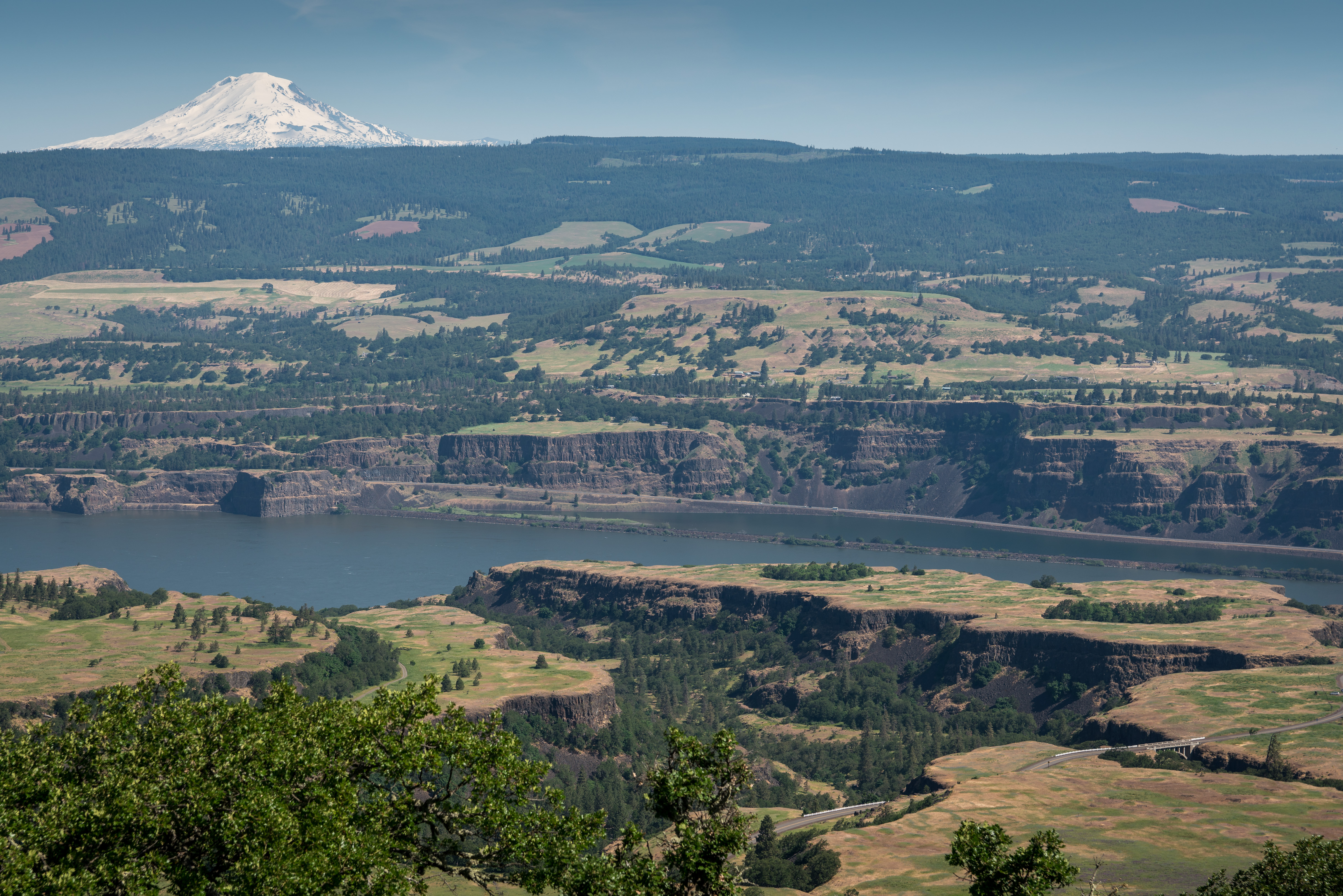
Rowena Plateau

USA // Oregon // U.S. National Scenic Area // Columbia River Gorge

Rowena Dell in October

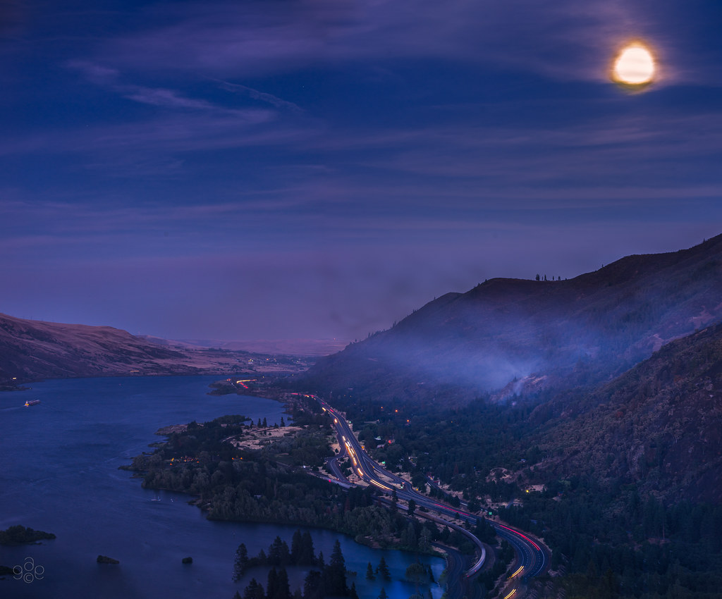
A crescent moon sets over the Columbia
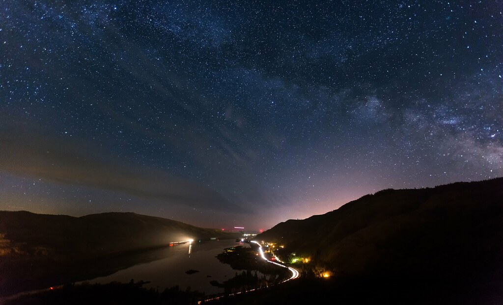
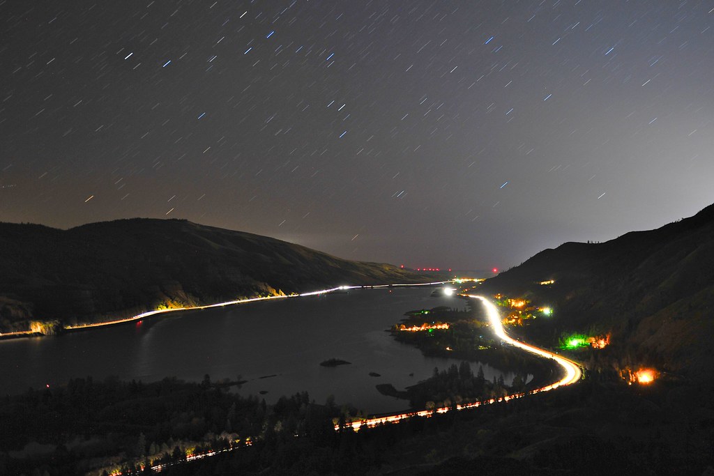
Milky Way over the Columbia River (from Rowena Crest View Point, OR)

Grass Widow Pair
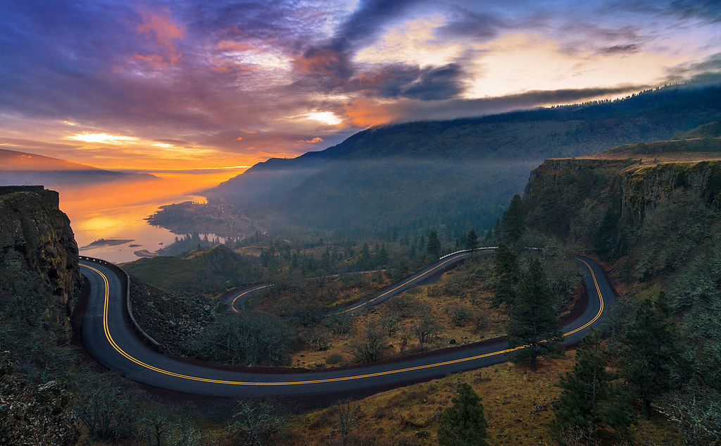
Sunrise at Rowena Crest, Oregon

Autumn beauty in Tom McCall Nature Preserve

Milky Way over Tom McCall Point
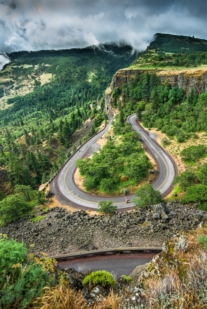
Cranking up the Rowena loops

Moss on fence post
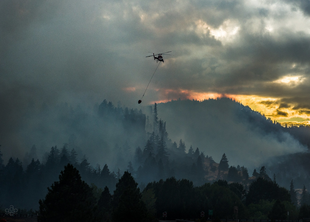
August wildfire, Mosier, Oregon, 2009

A full moon silhouettes the sentry firs against the blue night sky

Spectacular rainbow backdrop for two windsurfers

Sunset, a bird's view?

Columbia River from Coyote Creek Trail

Wildfire! Columbia River Gorge

Halcyon Days

Red sky at moonrise

Zigzags: fence, hills and barn
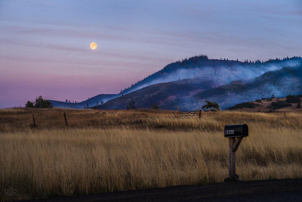
Wildfire frighteningly close to field and home... and a plea for wildlife
Clouds race the last light to hide Mt. Hood
The busy National Scenic Area

Sunrise at Rowena Crest, OR
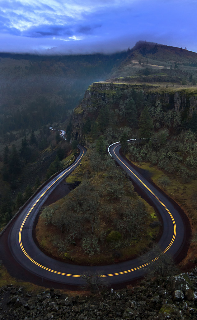
And all the roads we have to walk are winding
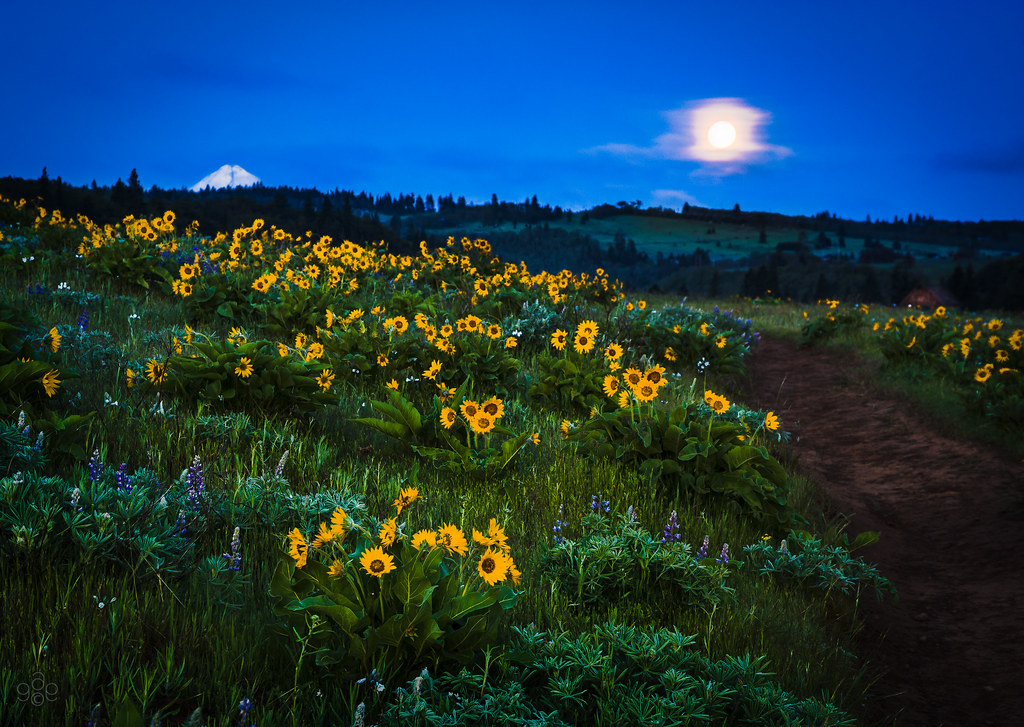
Pre-dawn lights balsamroot, lupine and Mt. Hood's tip under a full moon
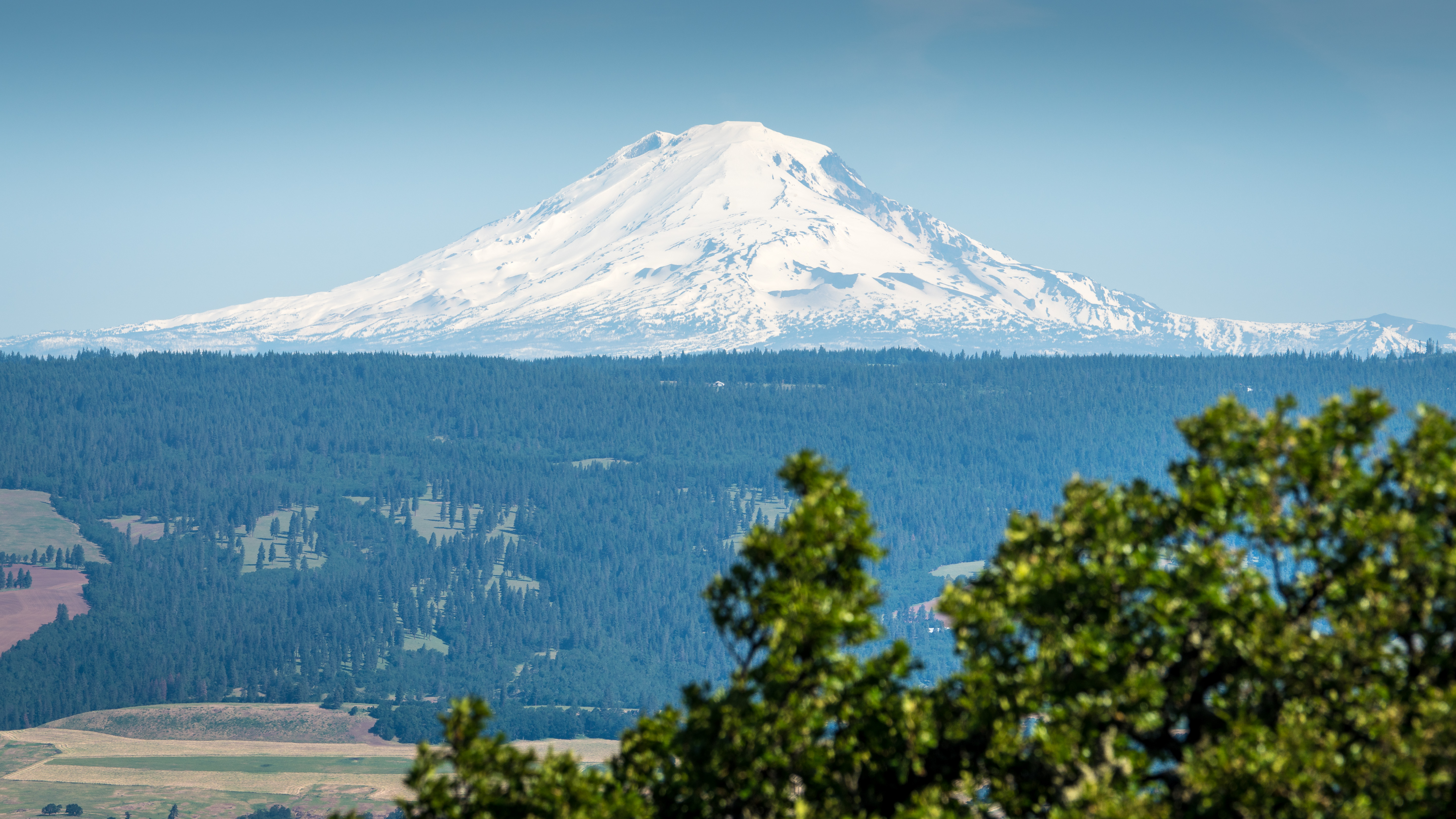
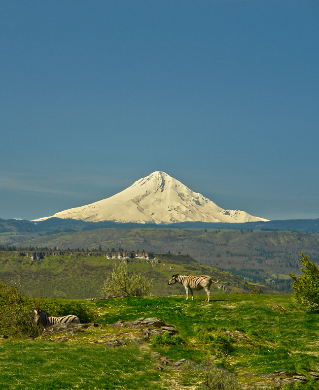
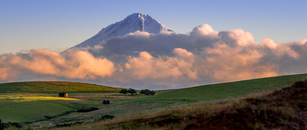
Mt Adams

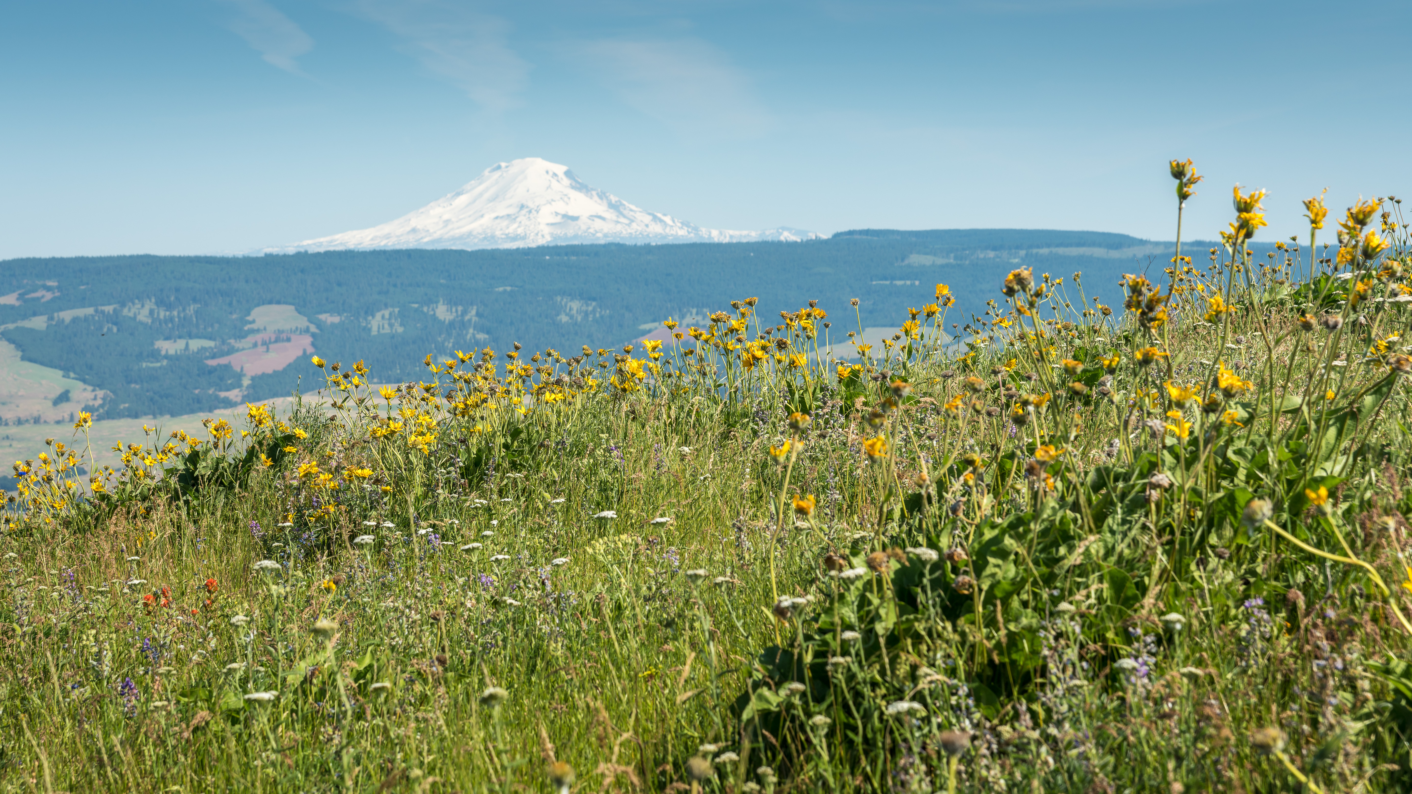
Mt Hood
Mt Adams

Rowena Bloom
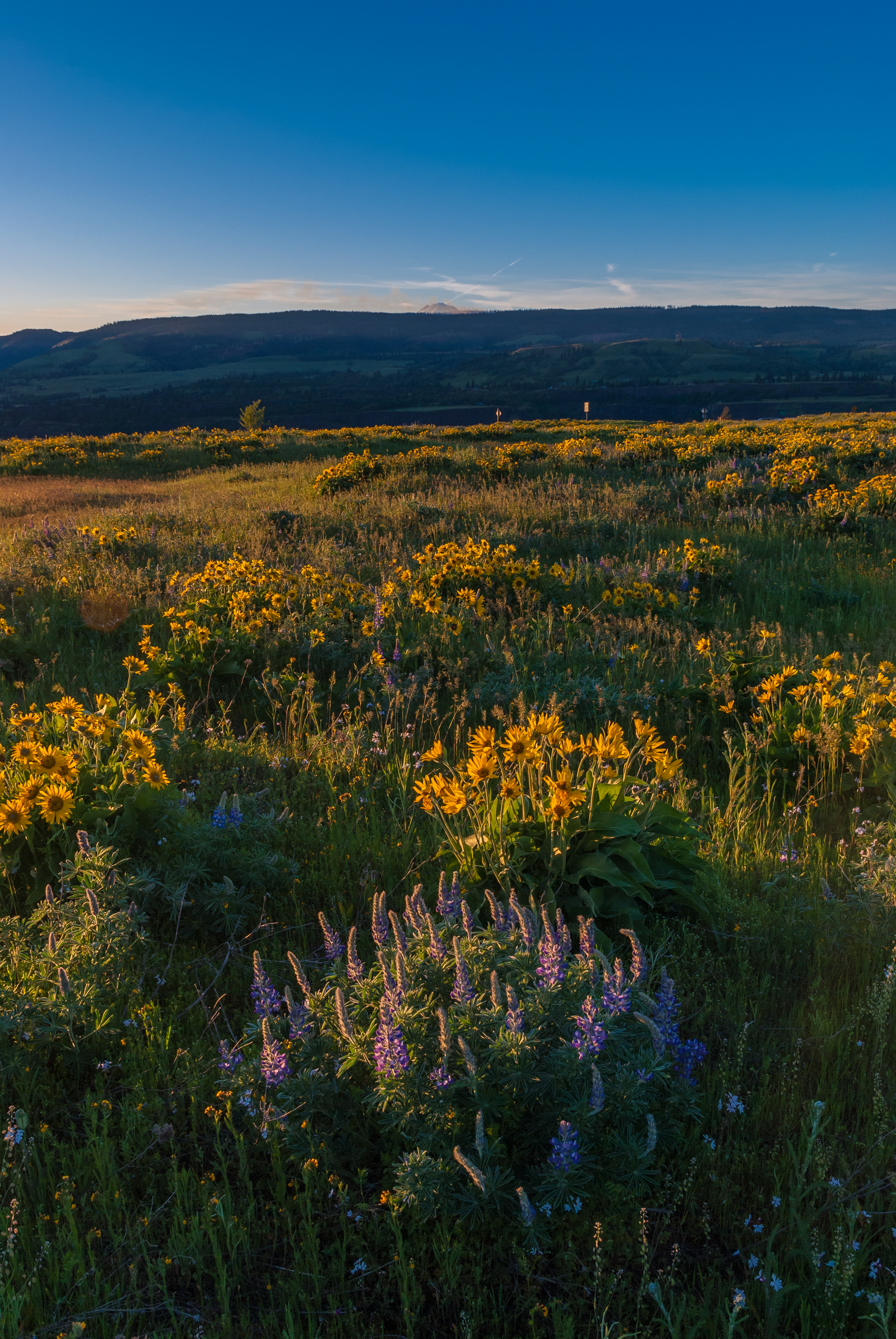
Lupine + Basam Root Golden Hour
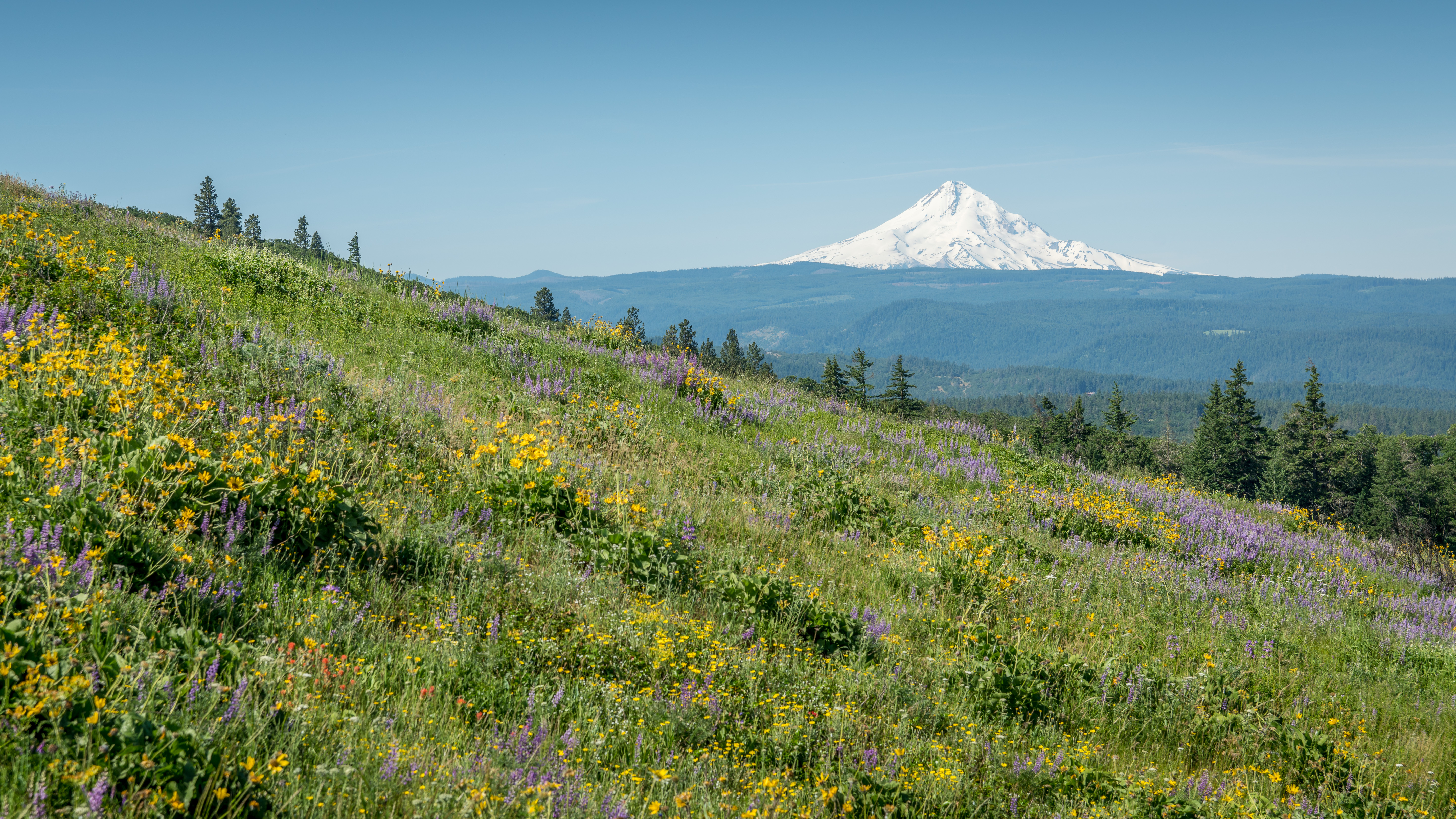
Mt Hood
Topographic Map of 44 Meadows Loop, Lyle, WA, USA
Find elevation by address:

Places near 44 Meadows Loop, Lyle, WA, USA:
604 Canyon Rd
Appleton
Lyle
101 5th St
1251 Canyon Rd
Mayer State Park
Rowena
Snowden
1353 Snowden Rd
393-421 Old Hwy 8
US-30, Mosier, OR, USA
7 Coyote Song Ln
Snowden Road
Snowden Road
502 3rd Ave
23 Mosier Creek Pl
Huskey Road
Mosier-The Dalles Hwy, The Dalles, OR, USA
Klickitat
Northwest Drive
Recent Searches:
- Elevation of Corso Fratelli Cairoli, 35, Macerata MC, Italy
- Elevation of Tallevast Rd, Sarasota, FL, USA
- Elevation of 4th St E, Sonoma, CA, USA
- Elevation of Black Hollow Rd, Pennsdale, PA, USA
- Elevation of Oakland Ave, Williamsport, PA, USA
- Elevation of Pedrógão Grande, Portugal
- Elevation of Klee Dr, Martinsburg, WV, USA
- Elevation of Via Roma, Pieranica CR, Italy
- Elevation of Tavkvetili Mountain, Georgia
- Elevation of Hartfords Bluff Cir, Mt Pleasant, SC, USA