Elevation of Long Pond Rd, Plymouth, MA, USA
Location: United States > Massachusetts > Plymouth County > Plymouth >
Longitude: -70.656021
Latitude: 41.9236778
Elevation: 36m / 118feet
Barometric Pressure: 101KPa
Elevation Map:
Satellite Map:
Related Photos:

_RDX5046.jpg

_M4_1984.jpg

_D2_2718.jpg

Sunrise over Plymouth Bay, MA

_RDX7155.jpg

_D2_9166.jpg

5DSR4427.jpg

[explore] golden hour mayflower

_RDX4860.jpg

A11I9514Crop.jpg

Barbara - second wife of Edward

_RDX6035.jpg

_RDX6067.jpg

_RDX3526.jpg

_RDX5691.jpg

A11I9393.jpg

A11I9290.jpg

_RDX0973.jpg

5DSR4054.jpg

_RDX4743.jpg

_RDX6462.jpg

Bench at Plymouth Light

Plymouth Harbor

Beach Grass
Duxbury Lighthouse
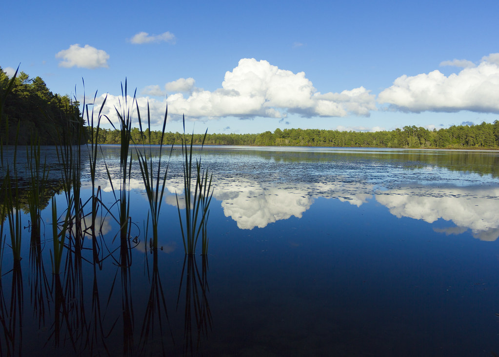
East Head Pond

Makepeace Farms, Wareham

Manomet Point
Beach Road - High Pines

Morning at the Point

Old Burial Hill

manomet beach: august 27, 2012

Morning on the Beach
Along the Rail Trail
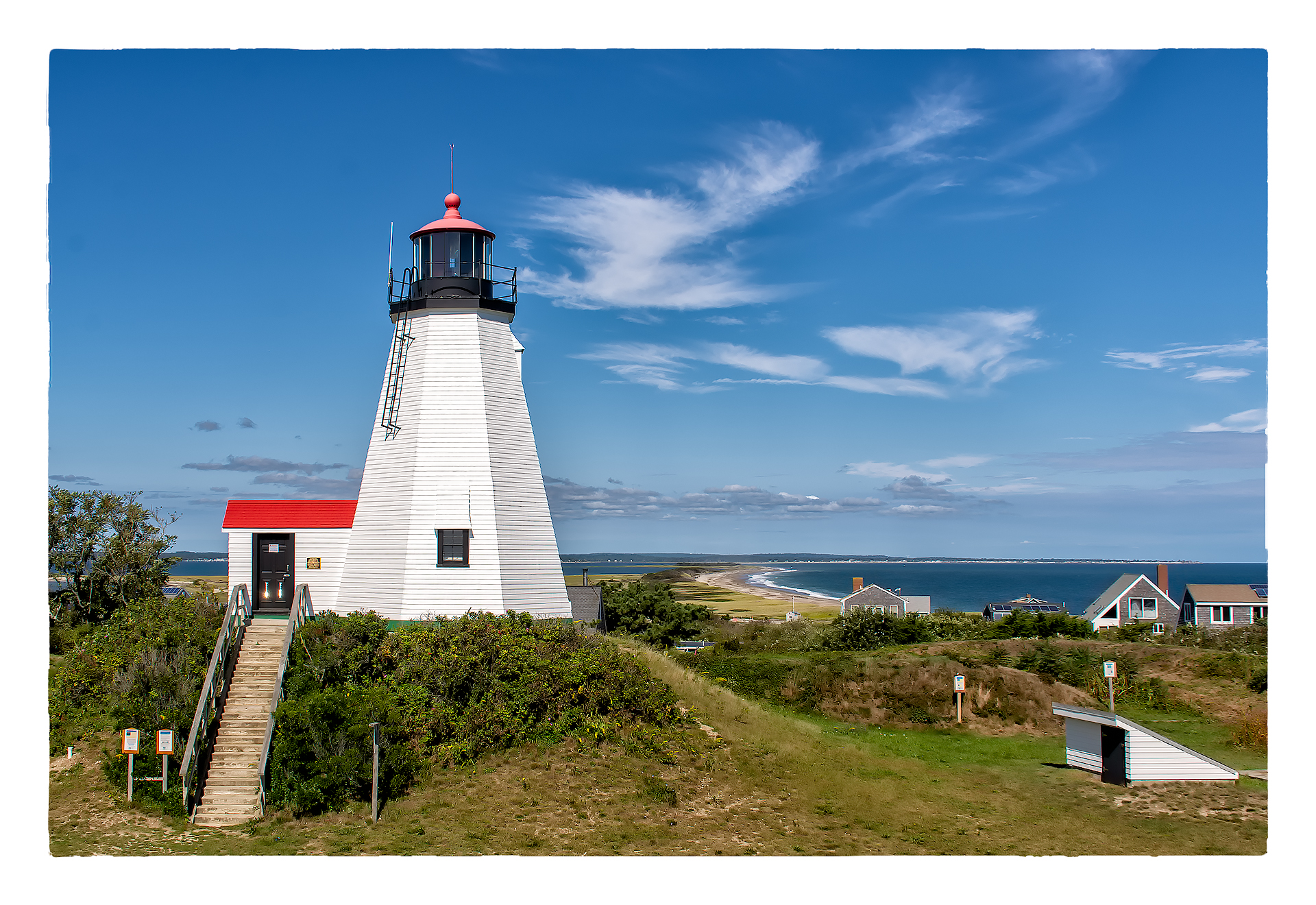
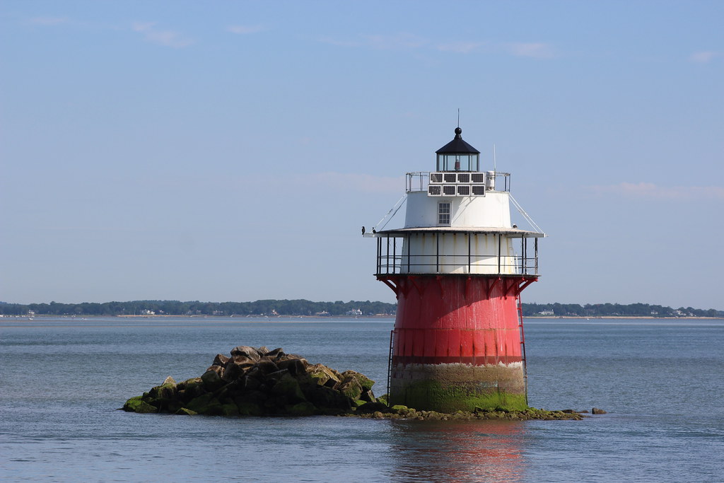
Plymouth Light Station

Manomet Point

HMS Bounty

Morning Glow

_RDX3935.jpg

Snow aerodynamics

Manomet Point
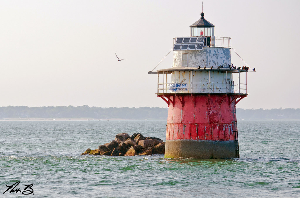
"Bug Light"
Topographic Map of Long Pond Rd, Plymouth, MA, USA
Find elevation by address:

Places near Long Pond Rd, Plymouth, MA, USA:
90 Fuller Farm Rd
23 Greener Pastures Ln
Russell Mills Road
8 Timothy Ln
324 Sandwich St
23 Winding Way
63 Warren Ave
16 Franklin St
3 Sunrise Ave
34 Main St Ext
72 Water St
60 Jasons Ln
156 Warren Ave
156 Warren Ave
65 Clifford Rd
Warren Ave, Plymouth, MA, USA
196 Warren Ave
192 Warren Ave
196 Warren Ave
432 Long Pond Rd
Recent Searches:
- Elevation of Corso Fratelli Cairoli, 35, Macerata MC, Italy
- Elevation of Tallevast Rd, Sarasota, FL, USA
- Elevation of 4th St E, Sonoma, CA, USA
- Elevation of Black Hollow Rd, Pennsdale, PA, USA
- Elevation of Oakland Ave, Williamsport, PA, USA
- Elevation of Pedrógão Grande, Portugal
- Elevation of Klee Dr, Martinsburg, WV, USA
- Elevation of Via Roma, Pieranica CR, Italy
- Elevation of Tavkvetili Mountain, Georgia
- Elevation of Hartfords Bluff Cir, Mt Pleasant, SC, USA