Elevation of Long Lane Farm Rd, Tryon, NC, USA
Location: United States > North Carolina > Polk County > Tryon > Tryon >
Longitude: -82.208768
Latitude: 35.209052
Elevation: 331m / 1086feet
Barometric Pressure: 97KPa
Elevation Map:
Satellite Map:
Related Photos:
Main Inn View

sunset sundial

The Hayloft Cottage
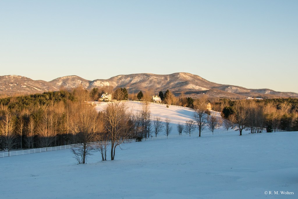
RHI Snow Day

Springhouse Cottage
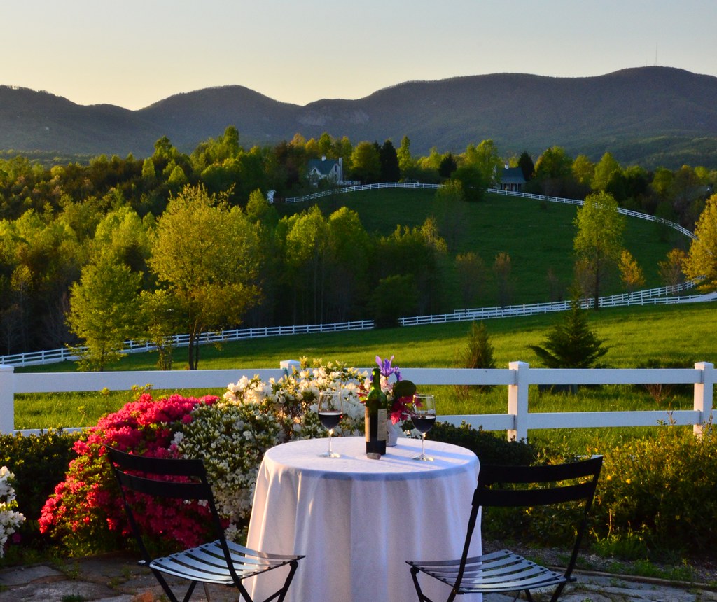
Wine Glass Table Moutains
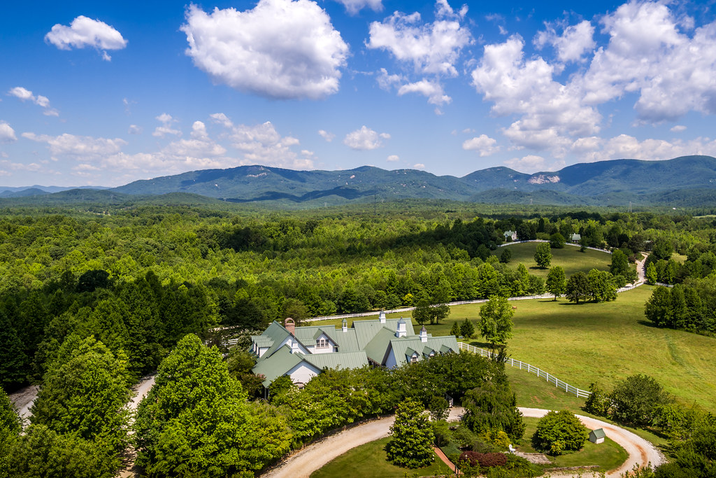
Aerial View of The Inn

september evening hayloft with mountain
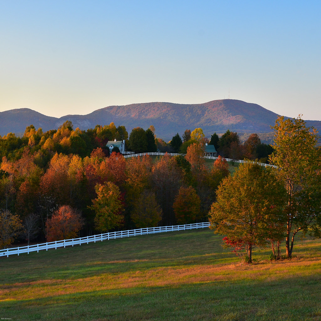
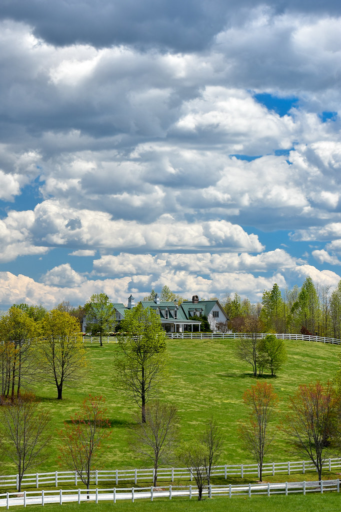
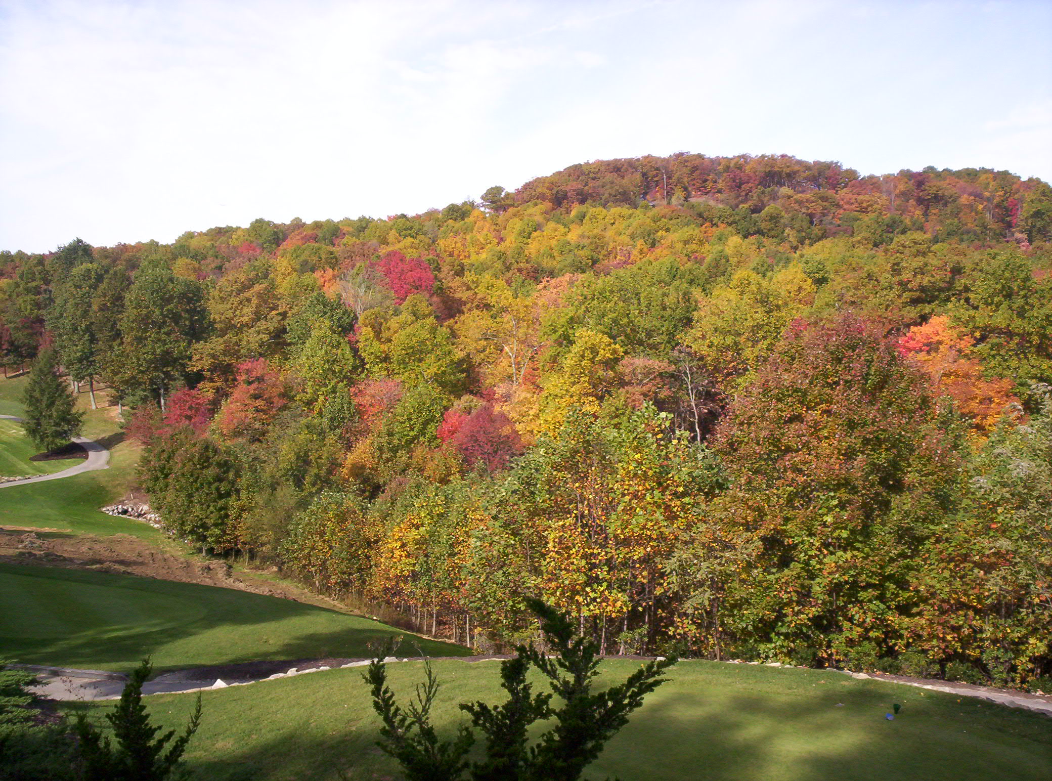
Fall Pasture
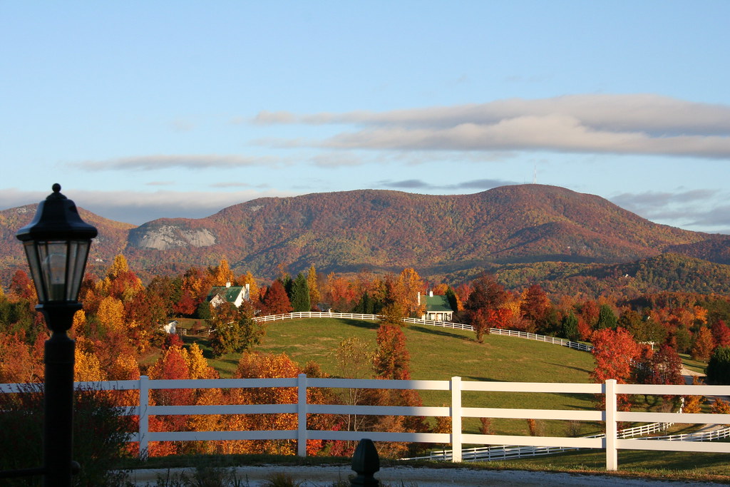
RHI in the Fall

Springhouse Cottage

PEARSON'S FALLS BLUE RIDGE MOUNTAINS ~ N.C.

Pearson Lower New Trail - Read Description
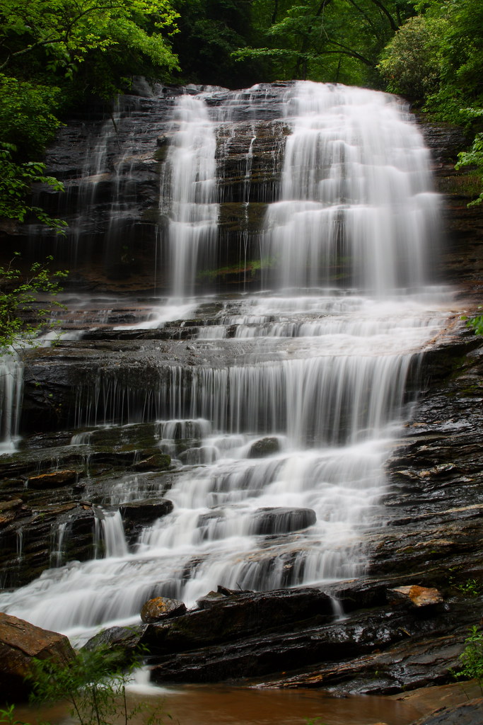
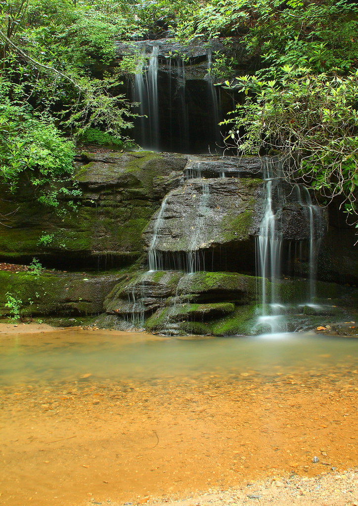
Pearson's Falls
Pearson's Falls-through the Trees

Tree with Mushrooms in Landrum, SC
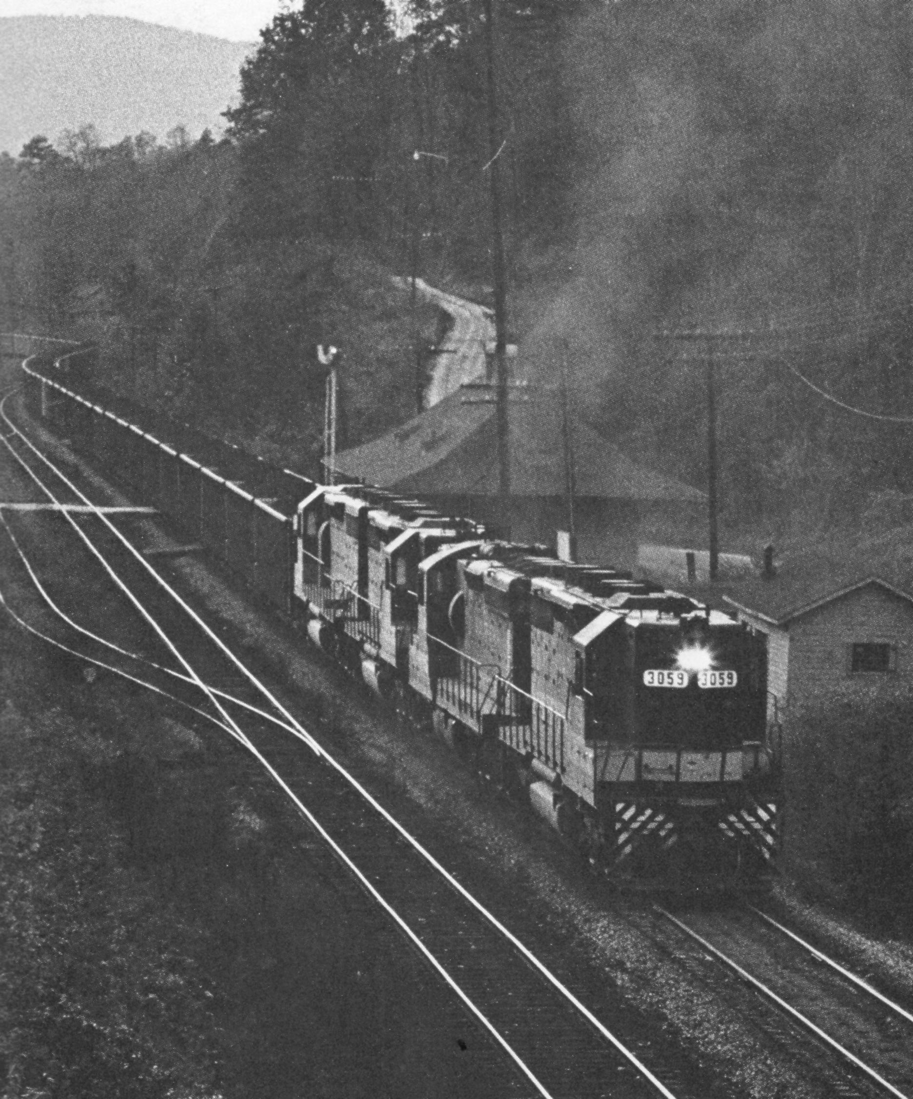
Belmont Coal Train Passing Saluda Depot, 1967
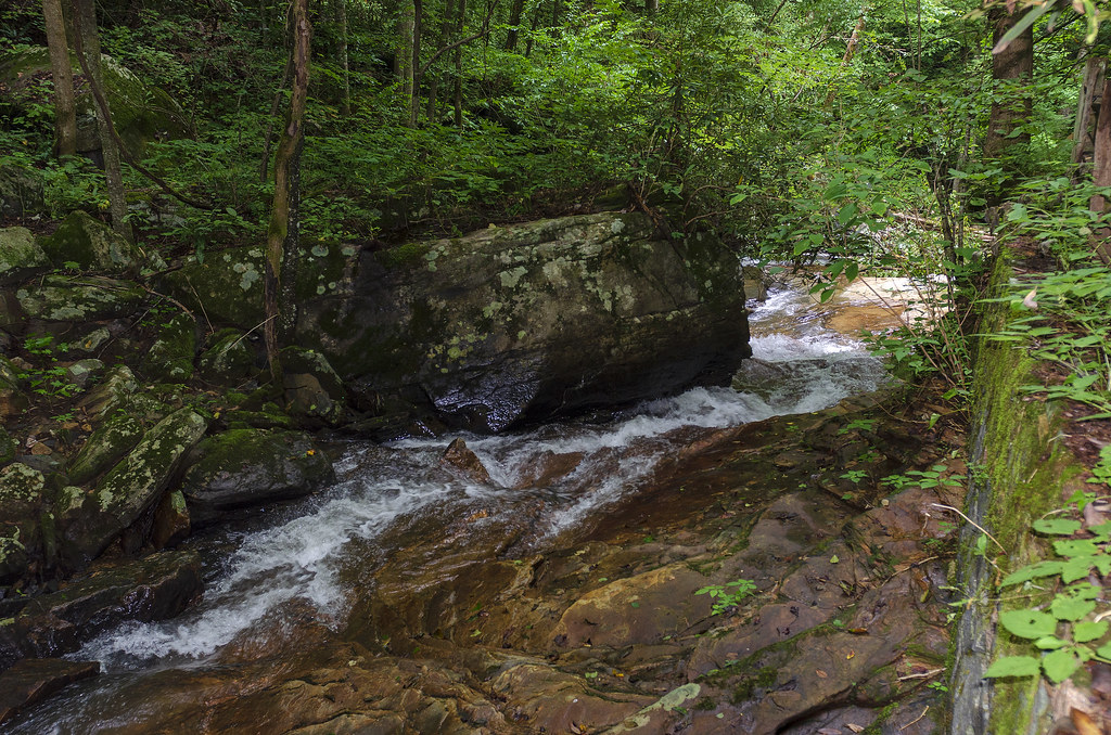
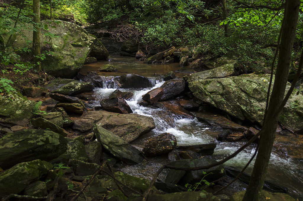
Just a Trickle
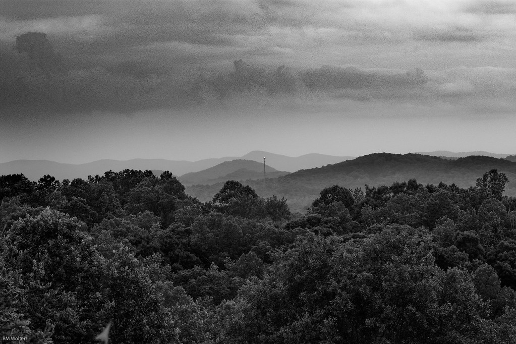
Black and White Mountains
The Cliffs at Glassy Golf Course No 12

P1050582.JPG

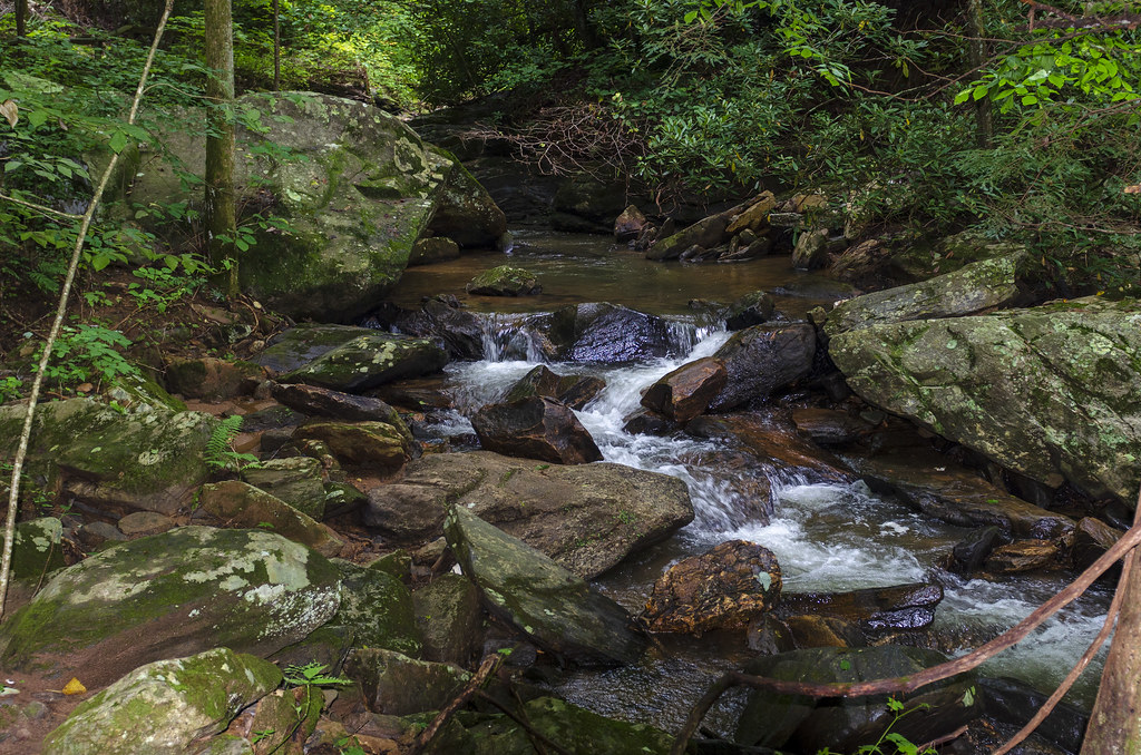
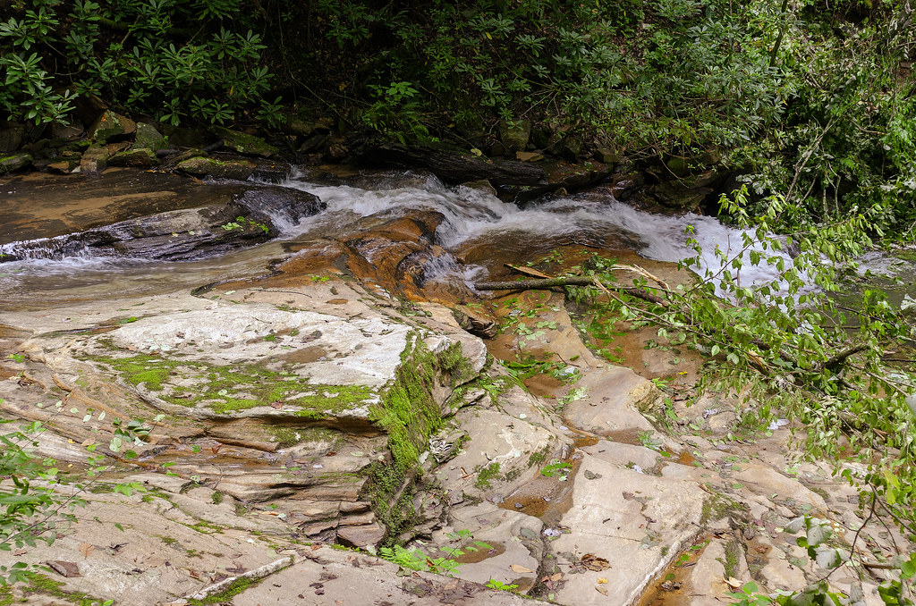
Water Dancing on the Rocks
North Pacolet River II
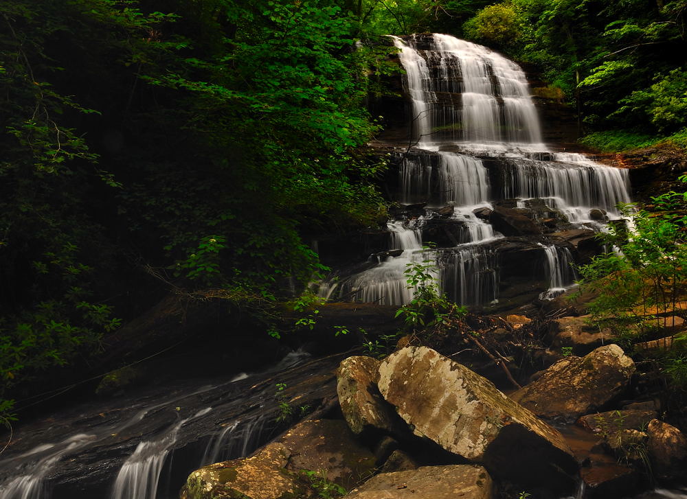
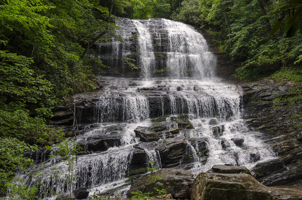
Pearson's Falls, N.C.
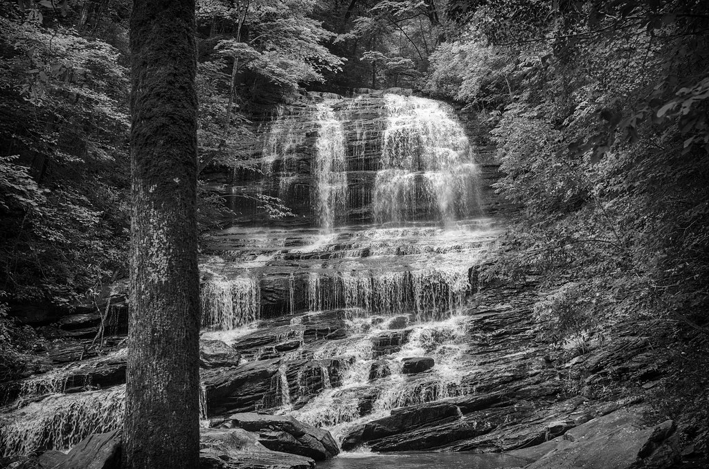
Pearson Falls - BW
Peaceful Trail
Falls Along the Pacolet
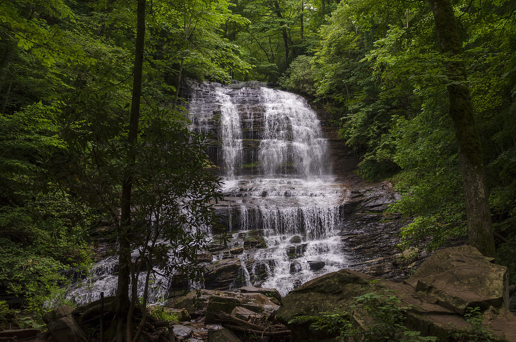
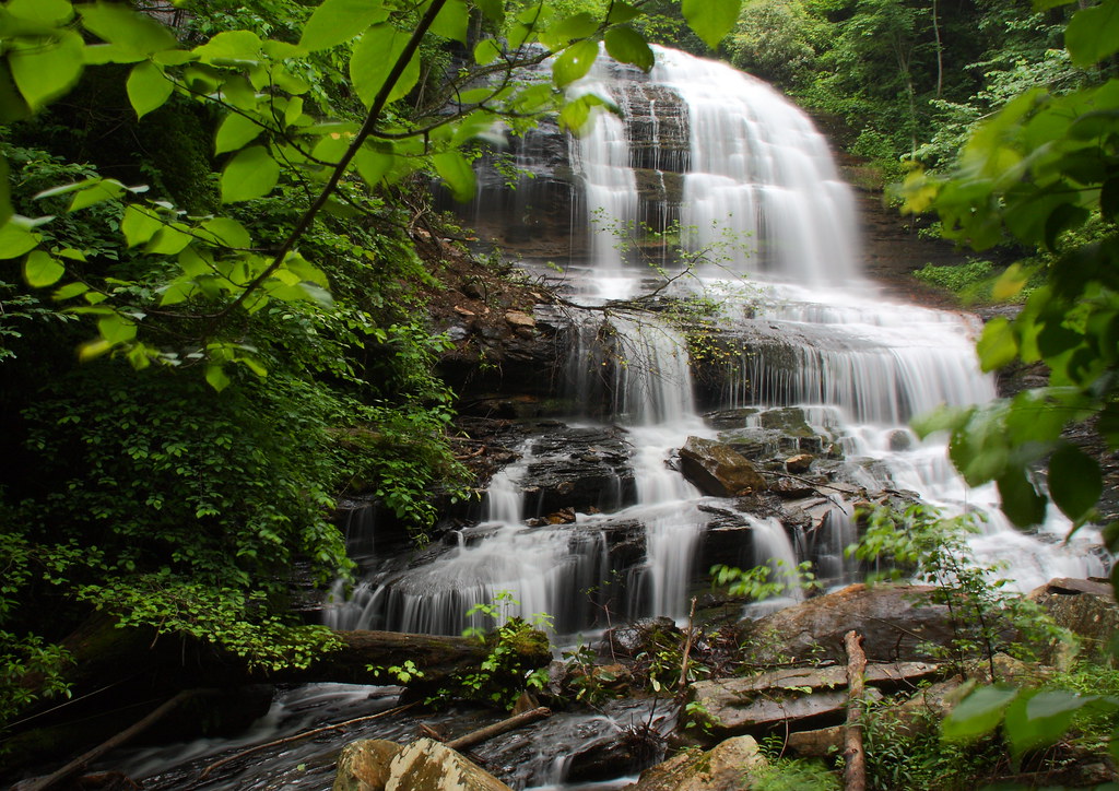
Pearson Falls
Pearson Falls
North Pacolet River III
North Pacolet River
Moss on River Rock

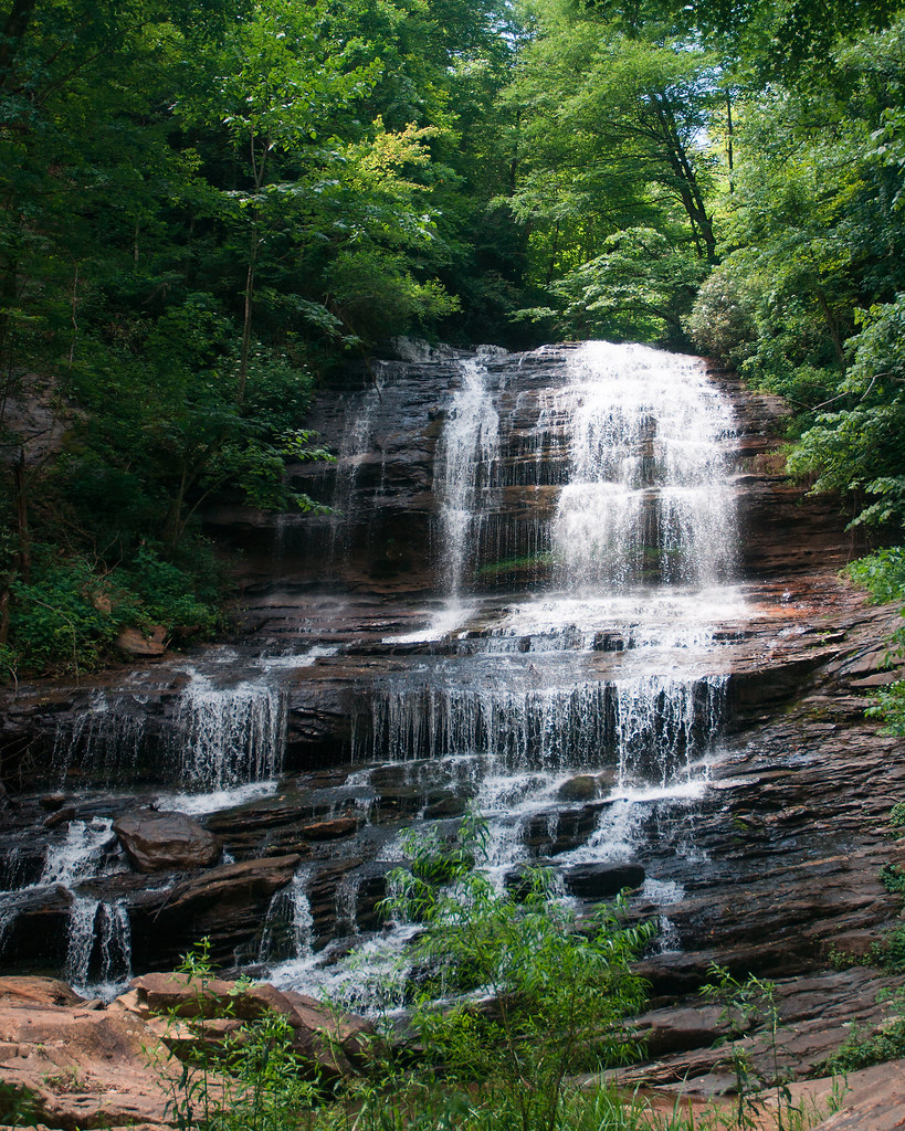
Pearson Falls II
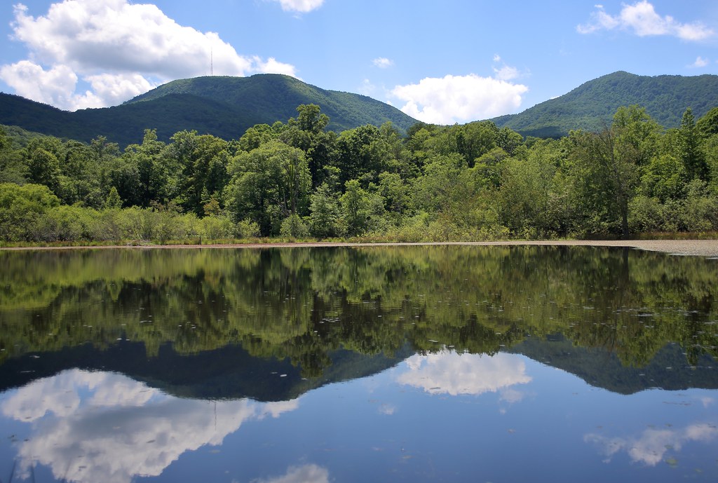
Vaughn Gap and Hogback Mountain
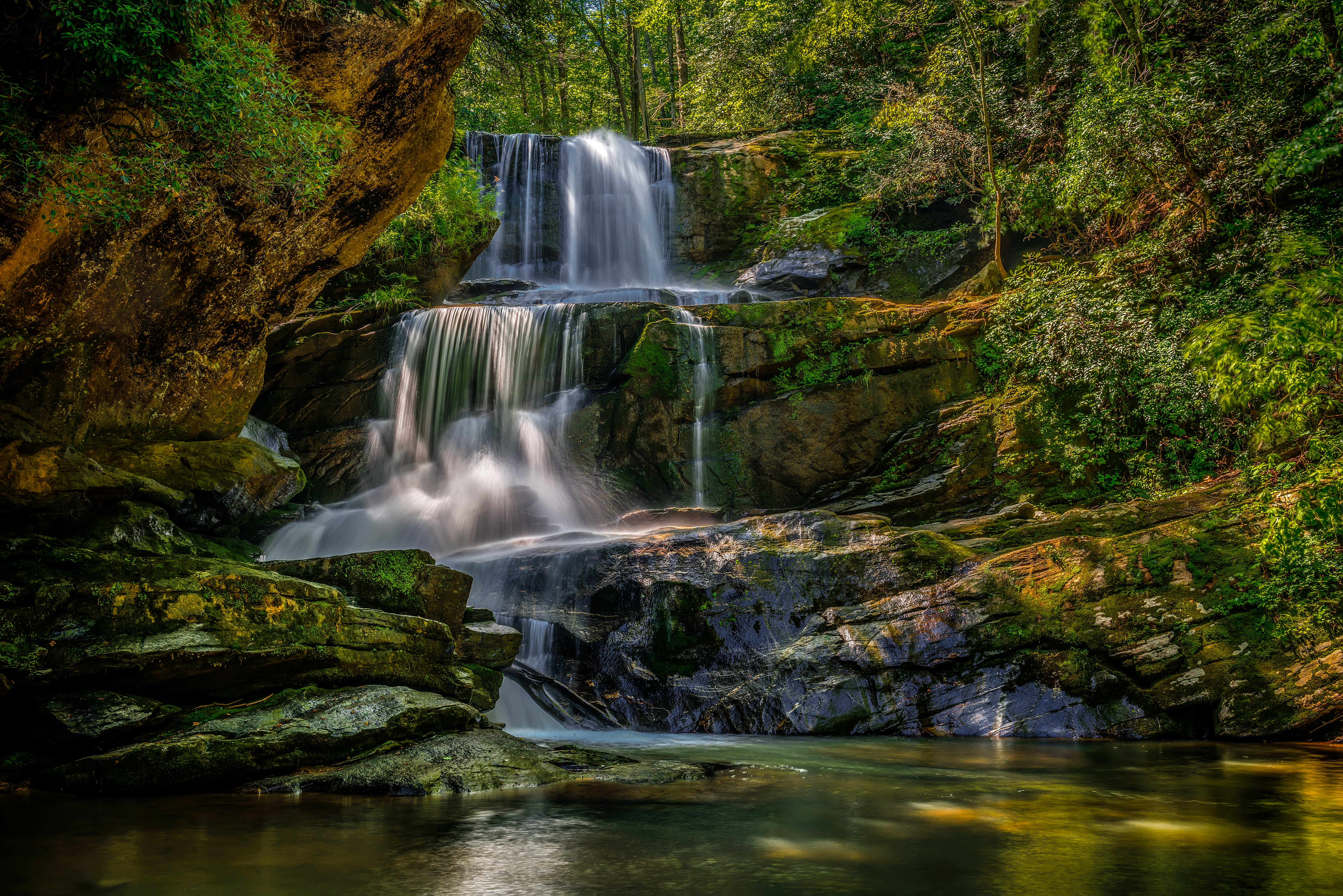
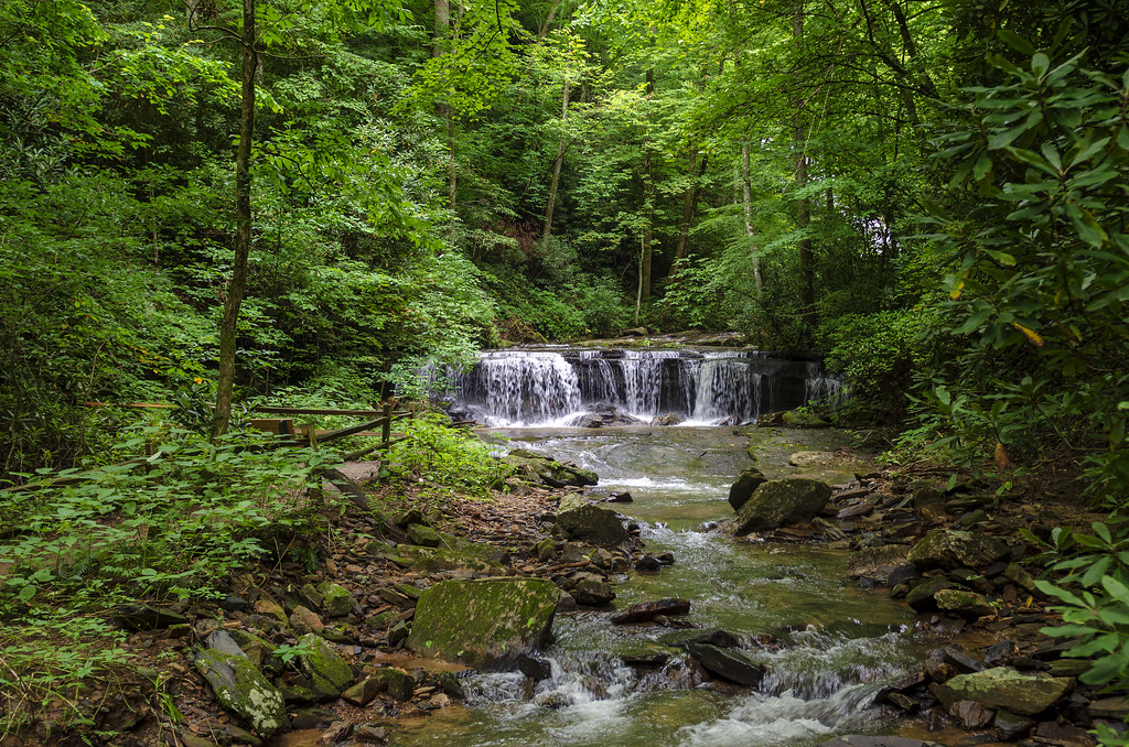
Little Bradley Falls (Saluda, North Carolina)

Sunrise Tryon

First light

Morning Mist
Topographic Map of Long Lane Farm Rd, Tryon, NC, USA
Find elevation by address:

Places near Long Lane Farm Rd, Tryon, NC, USA:
400 Ridgetop Rd
171 Ridgetop Rd
133 Ridgetop Rd
2 Hunting Country Trail
202 Blockhouse Rd
365 Rommey Green Rd
405 Coachman Ln
462 Christopher Ln
164 Winners Cir
3047 Asheville Hwy
200 Woodland Rd
2437 Hunting Country Rd
990 Mountain Laurel Dr
990 Mountain Laurel Dr
60 Walnut Ln
34 Broadway
617 Laurel Lake Dr
1151 Markham Rd
1394 Butter St
282 Rippy Rd
Recent Searches:
- Elevation of Corso Fratelli Cairoli, 35, Macerata MC, Italy
- Elevation of Tallevast Rd, Sarasota, FL, USA
- Elevation of 4th St E, Sonoma, CA, USA
- Elevation of Black Hollow Rd, Pennsdale, PA, USA
- Elevation of Oakland Ave, Williamsport, PA, USA
- Elevation of Pedrógão Grande, Portugal
- Elevation of Klee Dr, Martinsburg, WV, USA
- Elevation of Via Roma, Pieranica CR, Italy
- Elevation of Tavkvetili Mountain, Georgia
- Elevation of Hartfords Bluff Cir, Mt Pleasant, SC, USA