Elevation of 2 Hunting Country Trail, Tryon, NC, USA
Location: United States > North Carolina > Polk County > Tryon > Tryon >

Longitude: -82.21244

Latitude: 35.201909

Elevation: 349m / 1145feet

Barometric Pressure: 97KPa

Elevation Map:

elevation map of 2 Hunting Country Trail, Tryon, NC, USA
Satellite Map:

Satellite map of 2 Hunting Country Trail, Tryon, NC, USA
Related Photos:

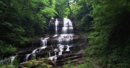
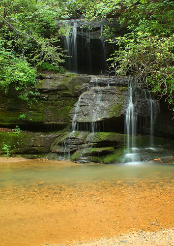
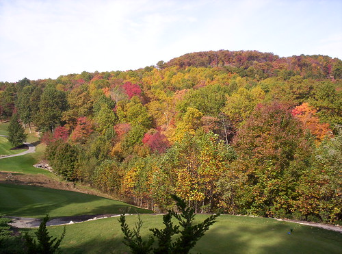
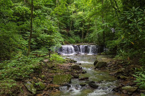
trees usa mountains northcarolina waterfalls forests blueridgemountains eastcoast saluda appalachianmountains supershot panoramafotográfico terpsphotostream
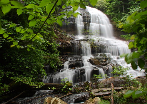
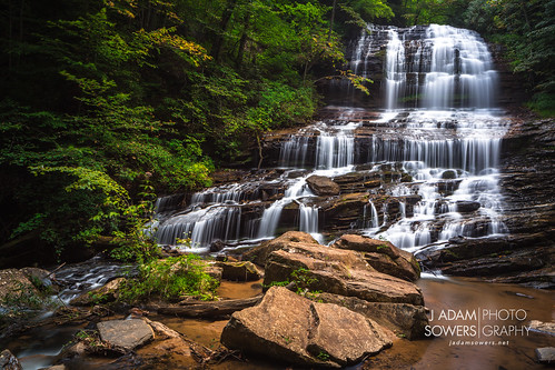
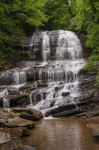
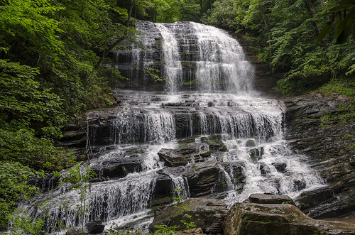
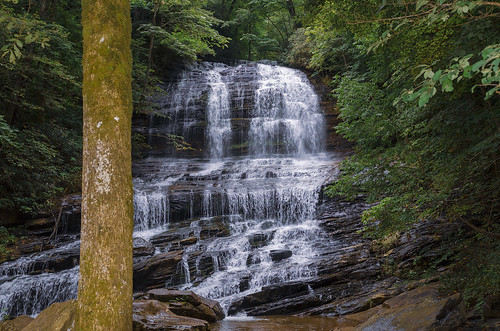
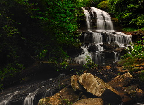
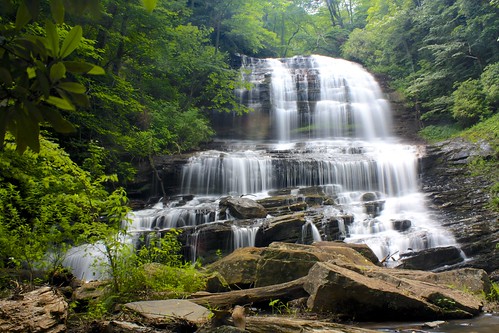
PEARSON'S FALLS BLUE RIDGE MOUNTAINS ~ N.C.
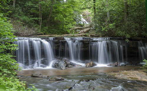
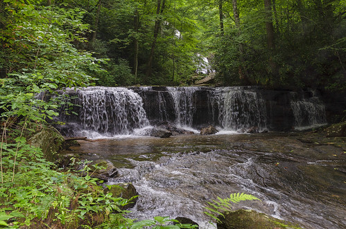
water nc rocks whitewater northcarolina rush cascade naturephotography polkcounty pearsonsfalls ncpedia
In a Hurry
Pearson Lower New Trail - Read Description
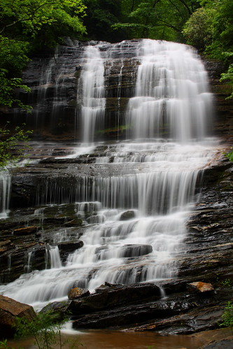
longexposure trees waterfall nc rocks whitewater northcarolina saluda naturephotography polkcounty ndfilter naturesfinest pearsonsfalls davidhopkinsphotography ncpedia
Pearson's Falls
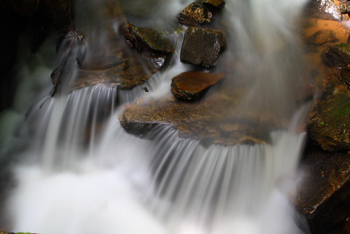
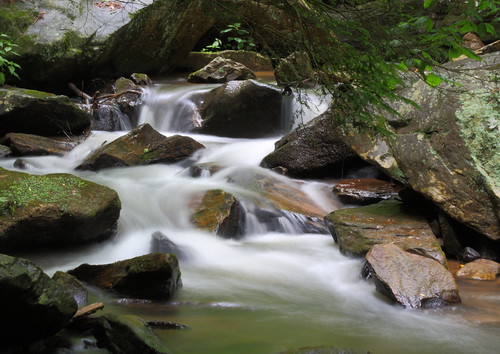
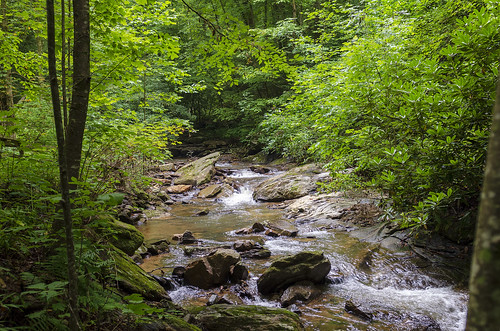
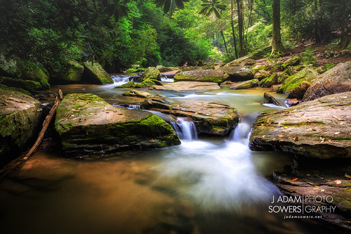
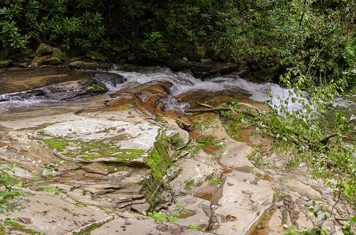
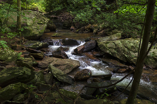
longexposure white water creek nc moss rocks stream northcarolina flowing cascade naturephotography polkcounty mosscovered pearsonsfalls davidhopkinsphotography ncpedia
Cascading Water
theredhorseinn sunset bedandbreakfast romanticgetaway romanticview romance honeymoon elopementwedding greenville sc landrum
Sundial at Sunset
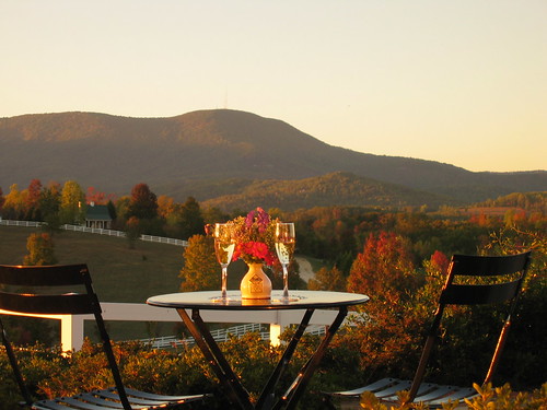
theredhorseinn blueridgemountains landrum bedandbreakfast champagne romance views nature greenville sc
Autumn Mnt View with Glasses
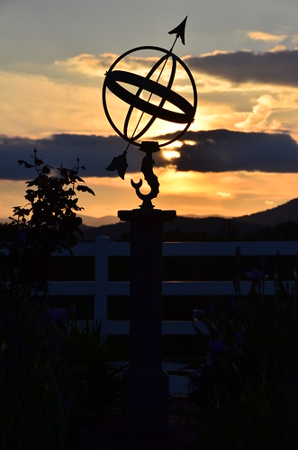
theredhorseinn blueridgemountains sundial sunset romanticview greenville sc landrum
sunset sundial
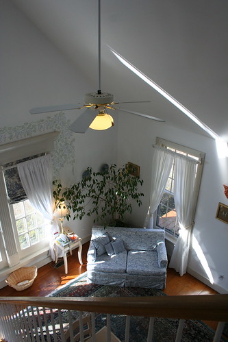
theredhorseinn blueridgemountains cottage couplesretreat romanticgetaway romanticview anniversaryidea hottub greenville sc landrum
The Hayloft Cottage
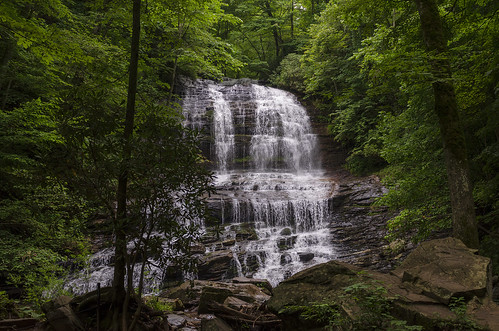
longexposure trees waterfall nc rocks whitewater northcarolina saluda naturephotography polkcounty ndfilter pearsonsfalls davidhopkinsphotography ncpedia
Pearson's Falls-through the Trees
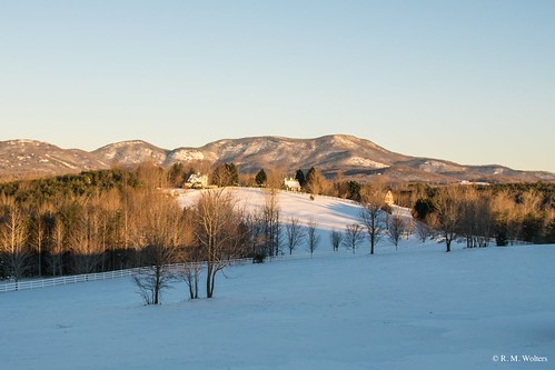
theredhorseinn blueridgemountains romanticgetaway romanticview romantic bedandbreakfast landrum snow field greenville sc
RHI Snow Day
followbacktrips4sviewlikes4likesfollownaturelikeforlikelikesforlikesilikefollowforfollowinstagoodf4ffollowmelikealll4llikerlandscapeloverslandscapeloversamazinglike4likelandscapephotographyphotos exif:focallength=44mm camera:model=canoneos5dmarkiv exif:model=canoneos5dmarkiv camera:make=canon exif:isospeed=100 geostate geocountry geocity geo:lon=8226363 geolocation geo:lat=35085753333333 exif:aperture=ƒ28 exif:lens=2470mm exif:make=canon
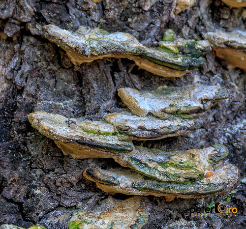
Tree with Mushrooms in Landrum, SC
theredhorseinn romanticgetaway romanticview romance elopementwedding elope landrum greenville sc
The Grainary Cottage
theredhorseinn blueridgemountains romanticgetaway romanticview couplesretreat elopementwedding elope hottub greenville sc landrum
Springhouse Cottage
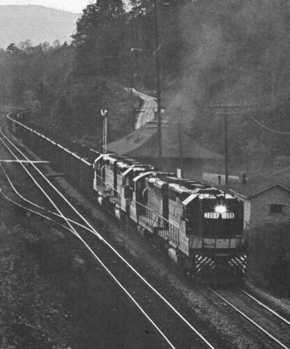
northcarolina trains railroads saluda southernrailway depots
Belmont Coal Train Passing Saluda Depot, 1967
geotagged geolat35223825 geolon821967944444445
P1050575.JPG
longexposure pool waterfall nc moss rocks northcarolina cascade naturephotography polkcounty bigbradleyfalls davidhopkinsphotography ncpedia
Just a Trickle
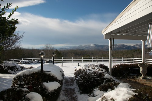
theredhorseinn blueridgemountains snow snowday romanticgetaway romanticview romance landrum greenville sc
Snowy Day
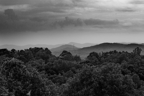
romance mountains blueridgemountains blackandwhite theredhorseinn greenville sc landrum
Black and White Mountains
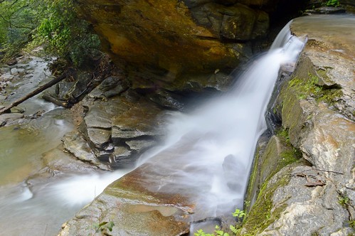
rock waterfall trees bradleyfalls creek stream brook ncmountainman nikon d3200 phixe lowresolutionversion
Bradley Falls Side View
sc cliffsatglassy cliffsatglassygolfcourse
The Cliffs at Glassy Golf Course No 12
saluda north carolina the south blue ridge mountains pacolet river water stream hike hiking outdoor landscape woods forest waterfall
Gentle Falls on the North Pacolet River
Pearson's Falls
saluda north carolina the south blue ridge mountains pacolet river water stream hike hiking outdoor landscape woods forest
Gentle North Pacolet
Bradley Falls creek
saluda north carolina the south landscape outdoor hike hiking woods forest trees waterfall pearson falls
Water Dancing on the Rocks
north pacolet river saluda carolina the south water forest woods hike hiking outdoor landscape
North Pacolet River II
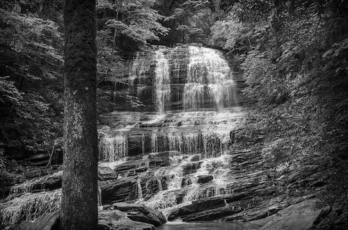
saluda north carolina the south landscape outdoor hike hiking woods forest trees waterfall pearson falls bw black white monotone
Pearson Falls - BW
saluda north carolina the south landscape outdoor hike hiking woods forest trees waterfall pearson falls
Peaceful Trail
north pacolet river saluda carolina the south pearson falls water forest woods hike hiking outdoor landscape
Falls Along the Pacolet
north pacolet river saluda carolina the south pearson falls water forest woods hike hiking outdoor landscape
Pearson Falls
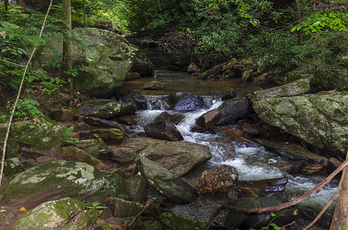
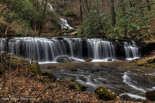
longexposure winter water leaves creek waterfall nc rocks stream northcarolina rhododendron hdr saluda polkcounty pearsonsfalls easyhike davidhopkinsphotography
Small Waterfall at Pearson's Falls
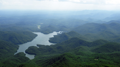
landscape scenic aerial summer blueridge mountains lake
North Saluda Reservoir
longexposure nature waterfall nikon northcarolina circularpolarizer pearsonsfalls nikond90 tyrongardenclub
Pearson's Falls, N.C.
Pearsons Falls
the carolina north pacolet river pearson falls saluda south water woods outdoor landscape rocks rocky
North Pacolet River
saluda north carolina the south blue ridge mountains pacolet river water stream hike hiking outdoor landscape woods forest moss
Moss on River Rock
saluda north carolina the south landscape outdoor hike hiking woods forest trees waterfall pearson falls
Pearson Falls II
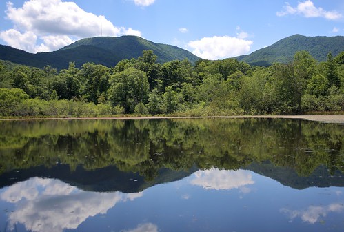
canon 6d 2255mm nature landscape water reflection mountain mountains forest clouds sky eos
Vaughn Gap and Hogback Mountain