Elevation of Lone Tree Rd, Oroville, CA, USA
Location: United States > California > Butte County > Oroville >
Longitude: -121.57705
Latitude: 39.374156
Elevation: 37m / 121feet
Barometric Pressure: 101KPa
Elevation Map:
Satellite Map:
Related Photos:

An asteroid hit my barn
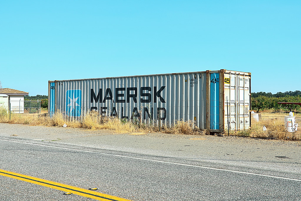
maersk sealand. honcut, ca. 2012.

The Chinese temple in Oroville California
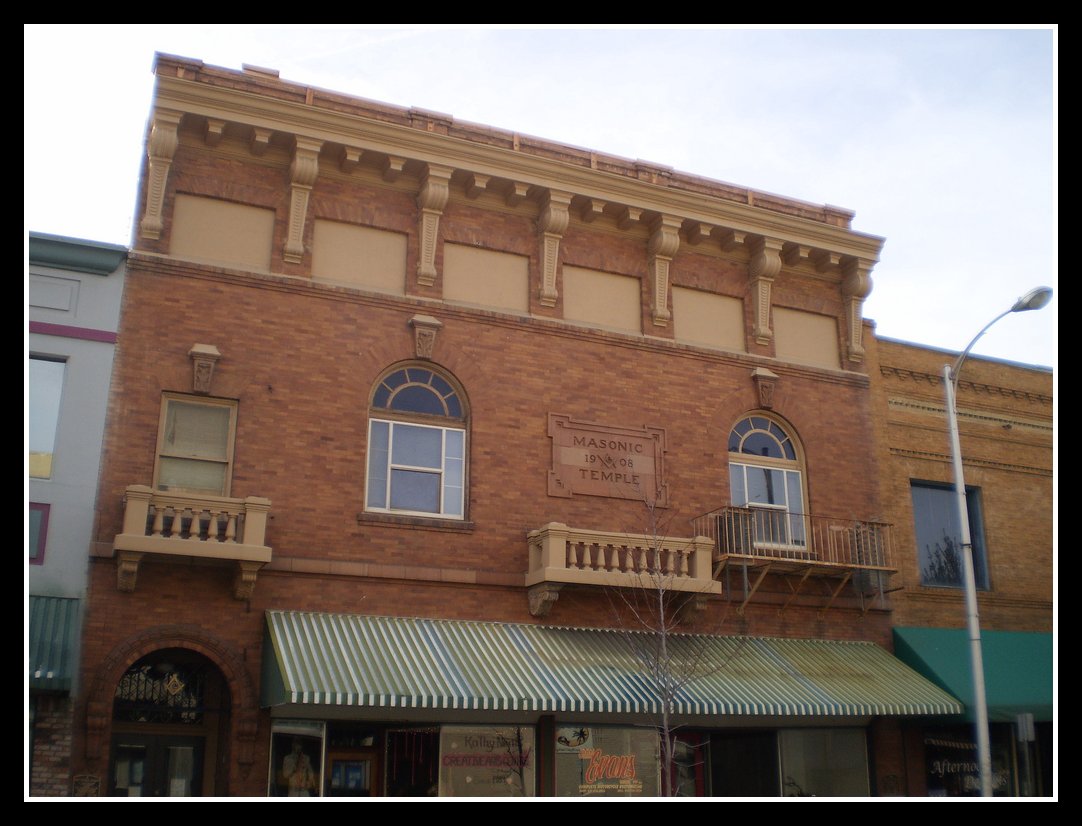
Masonic Temple

Long view of the yard

Day 736 [6/25/15]: Pink Immersion
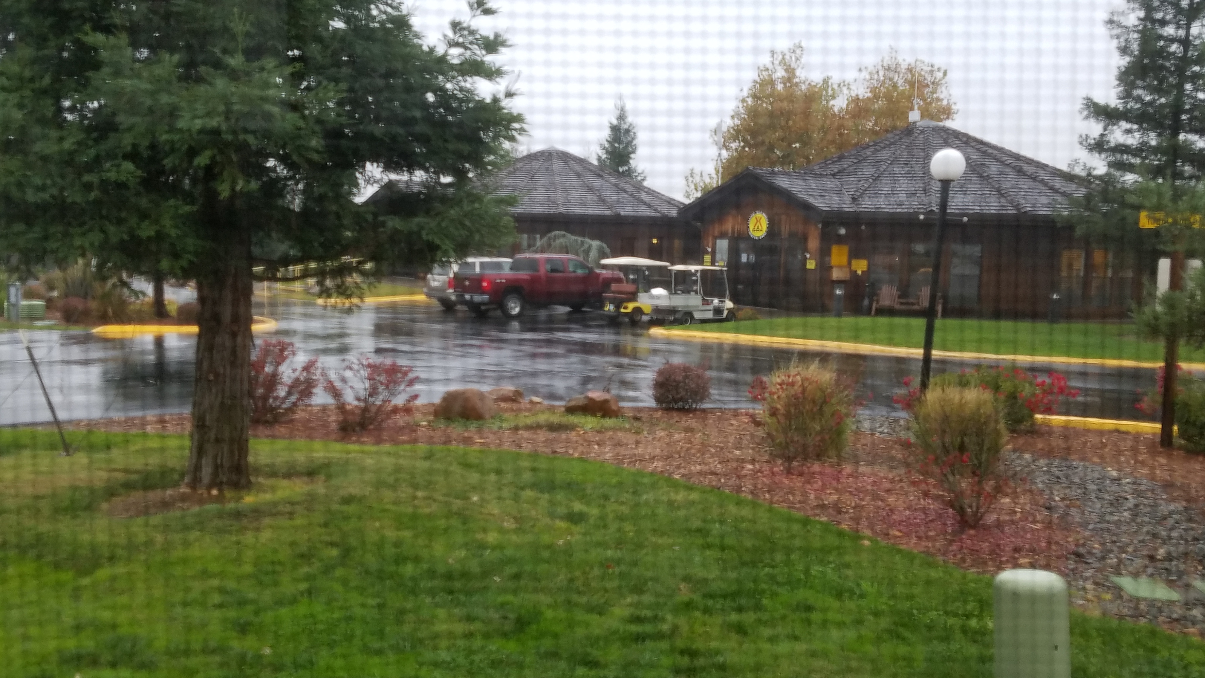
A view out the window
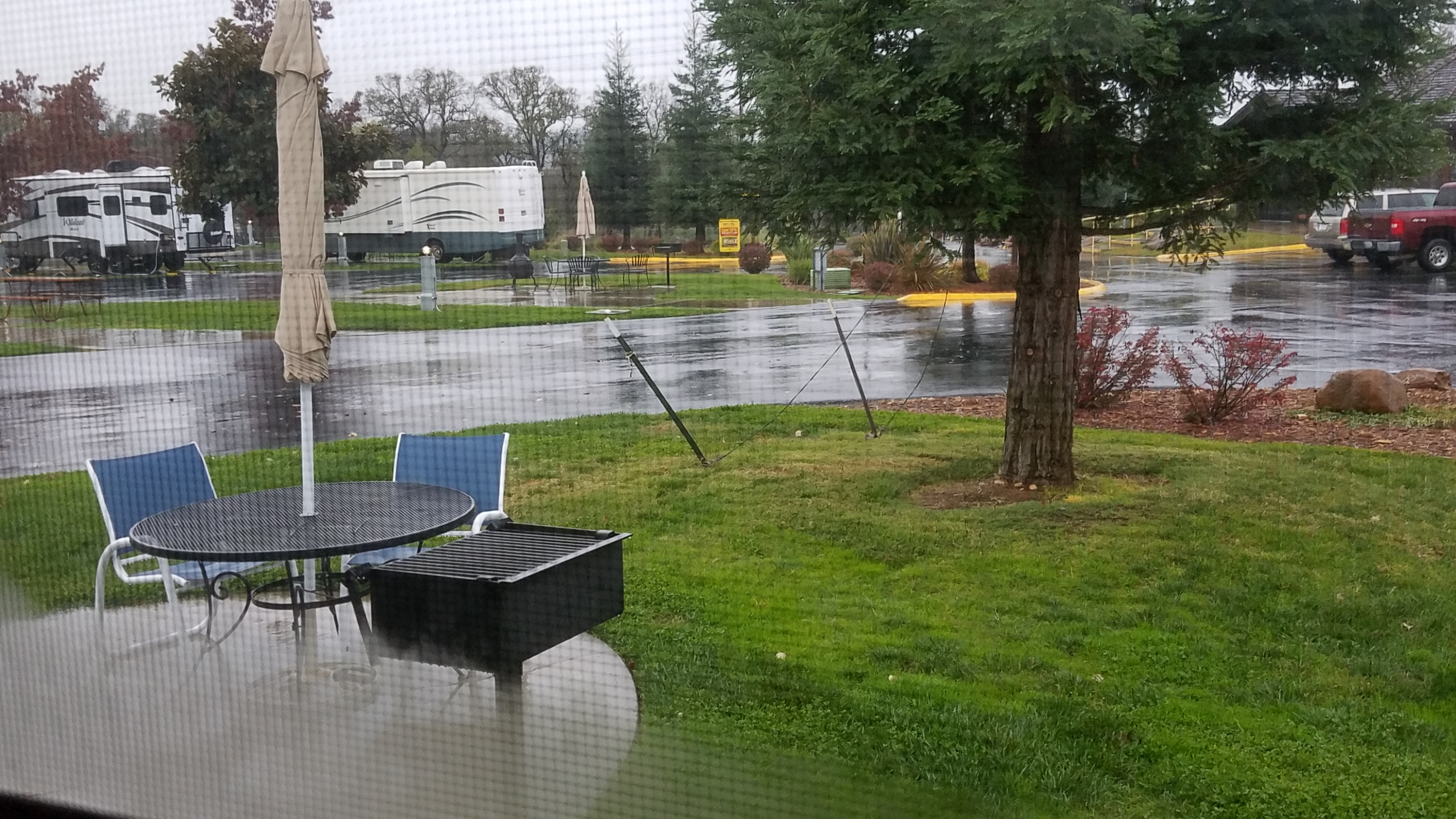
A view out the window
Our view

Day 785 [8-13-15]: Probe

Day 699 [5/19/15]: I Spy a Cyclist

Day 697 [5/17/15]: I Spy Something Up High
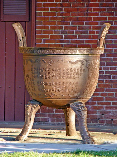
Urn at the Chinese Temple in Oroville CA
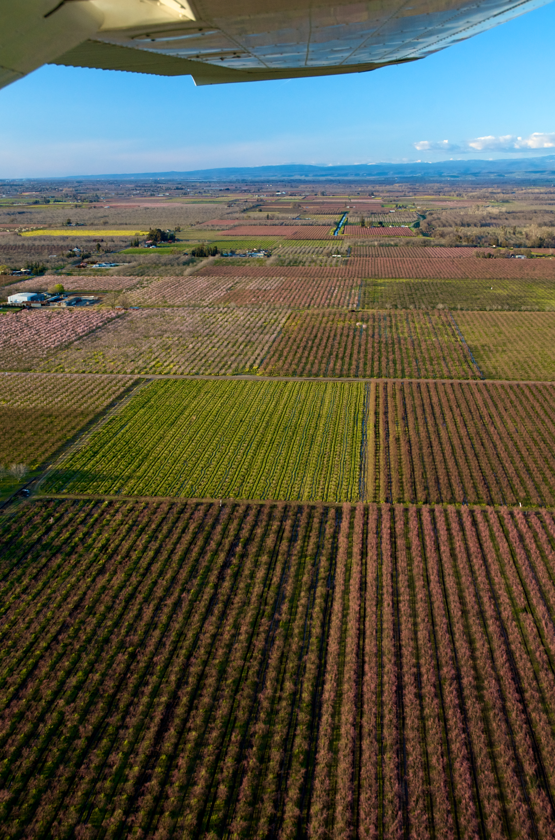
Almonds and Peaches
Gone country with Sunny #rotty #countrylife #instagood #instagram

Peach Orchards near Marysville
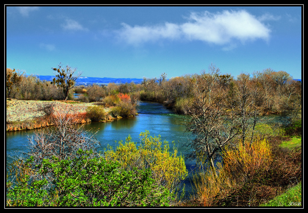
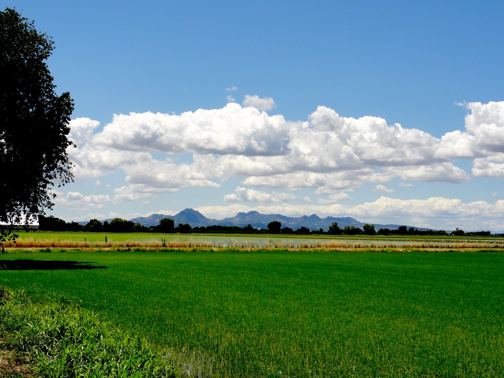
Oroville Wildlife Area

Majestic oak #trees in Manuel Vierra Park. #Gridley #California

Feather River, Riverbend Park #river #oroville #calfornia #buttecounty #water #landscape #scenery #nature

Thermalito Afterbay
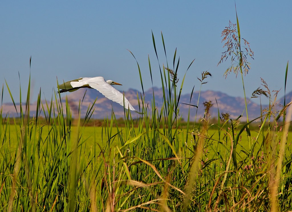
1 An egret in flight
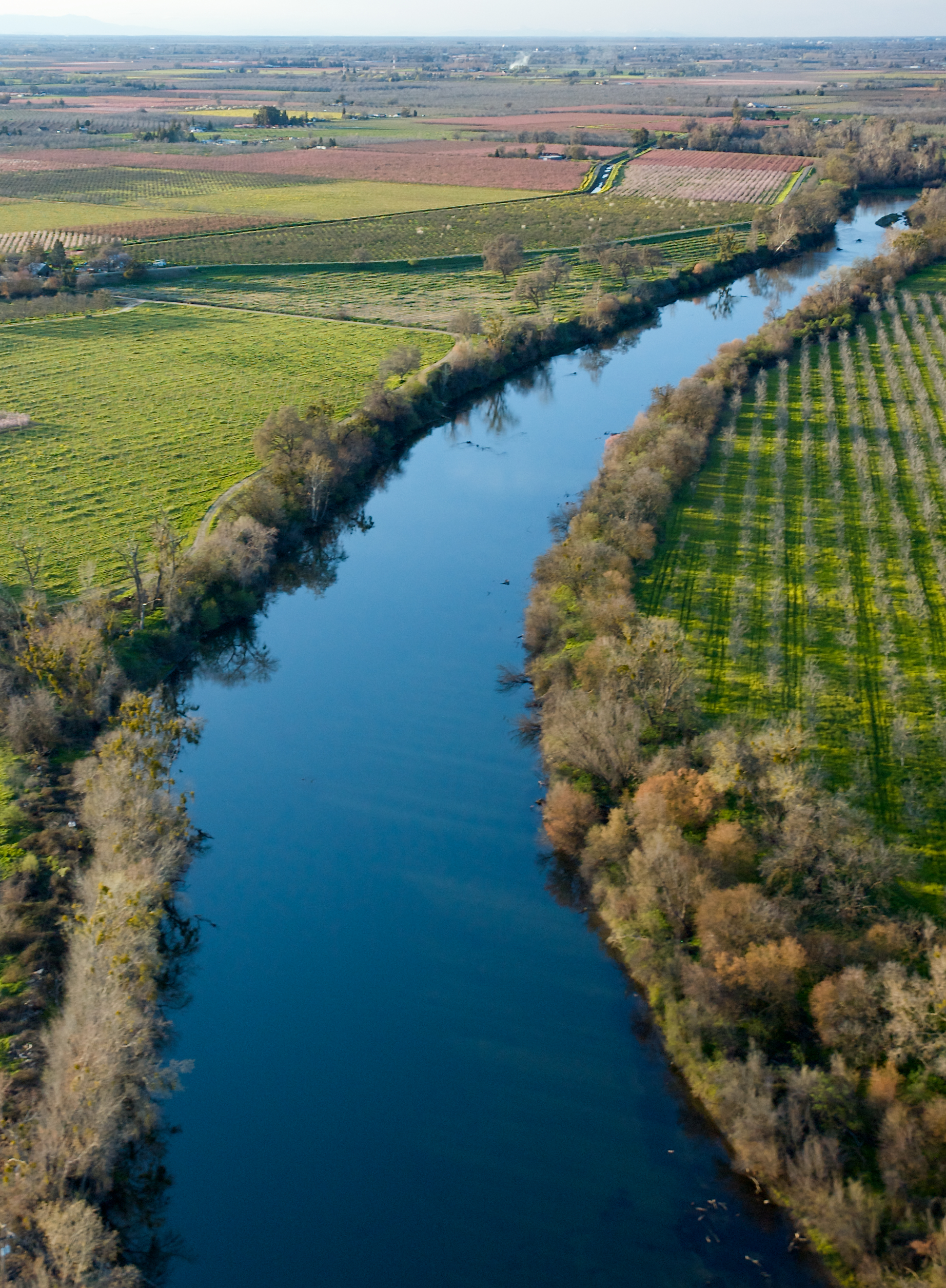
Feather River
Sutter Buttes

Peach Orchards in Bloom

Sunset in the Sacramento Valley Foothills

Peach Orchards in Bloom
Sutter Buttes

Trapper and Remington grazing

Sunset Over the Sutter Buttes
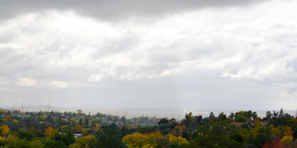
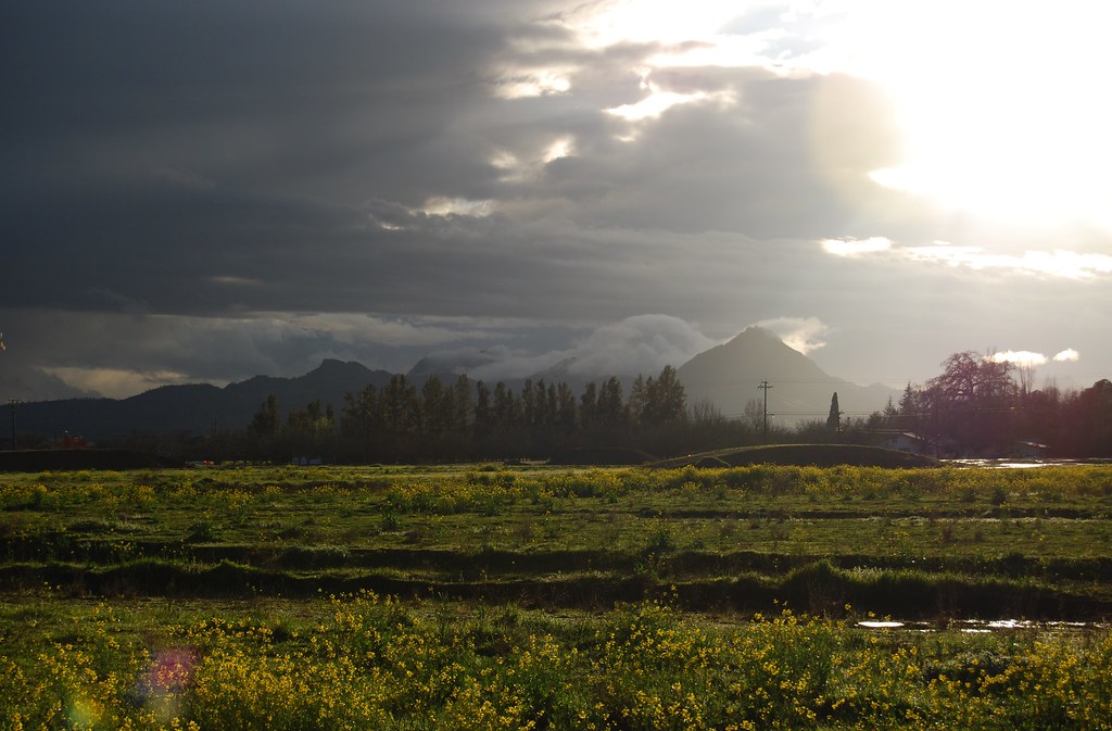
A Fog of Rain

Daley Ranch
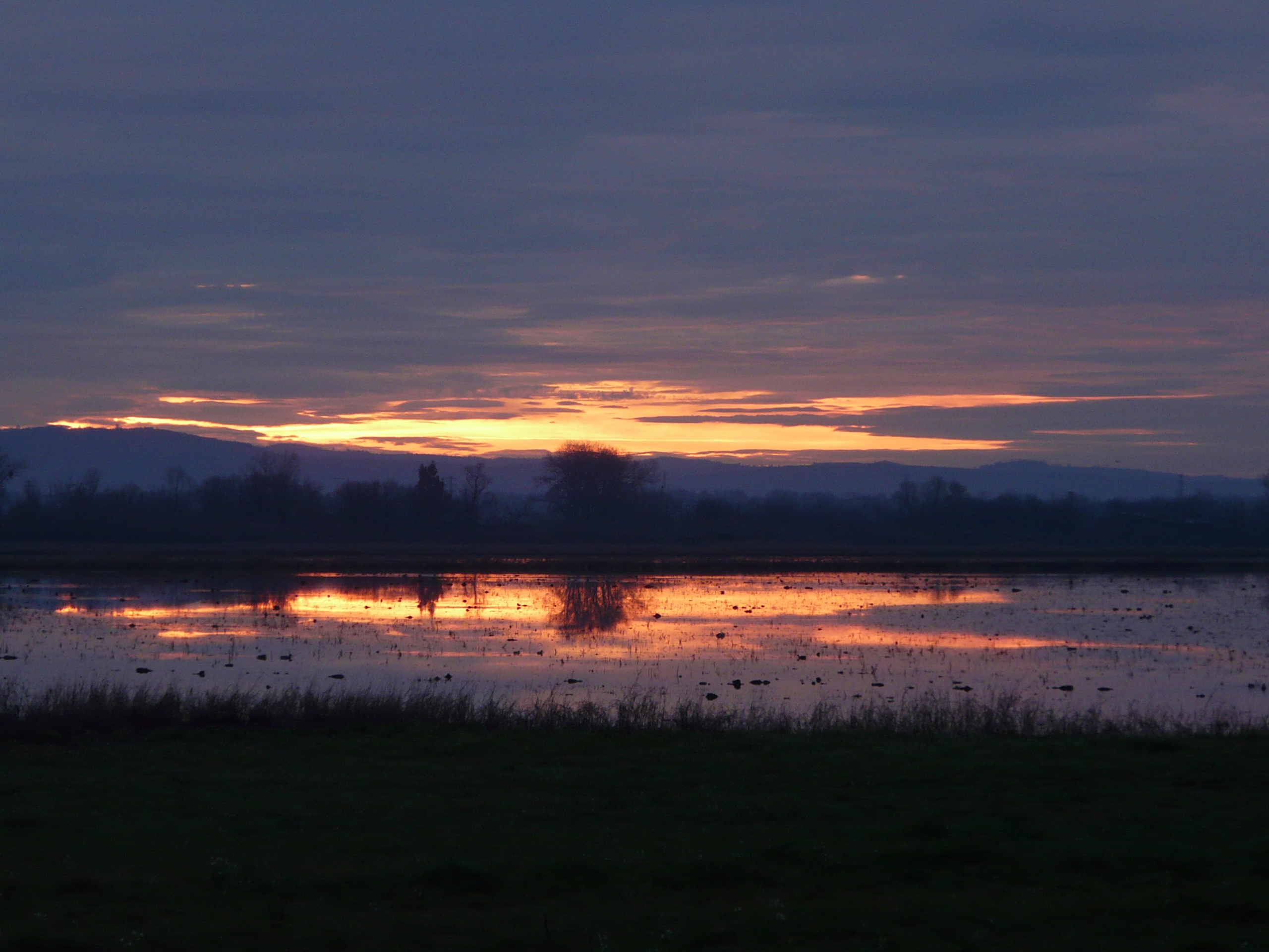
Ricefield sunrise

Flag on the field
Oroville, CA
Topographic Map of Lone Tree Rd, Oroville, CA, USA
Find elevation by address:

Places near Lone Tree Rd, Oroville, CA, USA:
Middle Honcut Rd, Oroville, CA, USA
School St, Oroville, CA, USA
Honcut
1698 Campbell Rd
1195 Cooley Rd
Ramirez Rd, Marysville, CA, USA
Magnolia Rd, Marysville, CA, USA
12611 Mendosa Way
Marysville, CA, USA
9095 Shell Rd
9005 Shell Rd
9671 Buena Vista Dr
11460 Hill Rd
Woodruff Lane
11143 Loma Rica Rd
Bevan Road
11789 Kitty Cat Ln
4736 Malott Way
4734 Valencia Way
5066 Virginia Rd
Recent Searches:
- Elevation of Corso Fratelli Cairoli, 35, Macerata MC, Italy
- Elevation of Tallevast Rd, Sarasota, FL, USA
- Elevation of 4th St E, Sonoma, CA, USA
- Elevation of Black Hollow Rd, Pennsdale, PA, USA
- Elevation of Oakland Ave, Williamsport, PA, USA
- Elevation of Pedrógão Grande, Portugal
- Elevation of Klee Dr, Martinsburg, WV, USA
- Elevation of Via Roma, Pieranica CR, Italy
- Elevation of Tavkvetili Mountain, Georgia
- Elevation of Hartfords Bluff Cir, Mt Pleasant, SC, USA