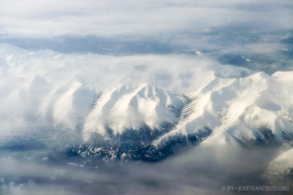
Elevation of Lombard Peak, Peace River B, BC V0C, Canada
Location: Canada > British Columbia > Peace River > Peace River B >
Longitude: -124.80222
Latitude: 57.7286111
Elevation: 1781m / 5843feet
Barometric Pressure: 82KPa
Elevation Map:
Satellite Map:
Related Photos:
Kwadacha Wilderness Provincial Park
Topographic Map of Lombard Peak, Peace River B, BC V0C, Canada
Find elevation by address:

Places near Lombard Peak, Peace River B, BC V0C, Canada:
Walsh E
Gautier Peak
Muskwa Peak
Ipec Lake
Mount Smythe
Muskwa River
Blue Light Peak
Cloudmaker Mountain
Mount Shawcross
Mount Sylvia
Saddleback Peak
South Gathto Creek
Gathto Cr
Mount Gary Powell
Mount Saint Sepulchre
Prophet R-muskwa R
Horseshoe Mountain
Peak 32-52
Mount Saint Paul
Tetsa River Lodge
Recent Searches:
- Elevation of Corso Fratelli Cairoli, 35, Macerata MC, Italy
- Elevation of Tallevast Rd, Sarasota, FL, USA
- Elevation of 4th St E, Sonoma, CA, USA
- Elevation of Black Hollow Rd, Pennsdale, PA, USA
- Elevation of Oakland Ave, Williamsport, PA, USA
- Elevation of Pedrógão Grande, Portugal
- Elevation of Klee Dr, Martinsburg, WV, USA
- Elevation of Via Roma, Pieranica CR, Italy
- Elevation of Tavkvetili Mountain, Georgia
- Elevation of Hartfords Bluff Cir, Mt Pleasant, SC, USA